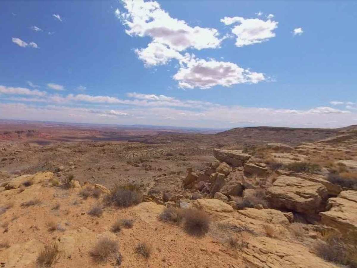
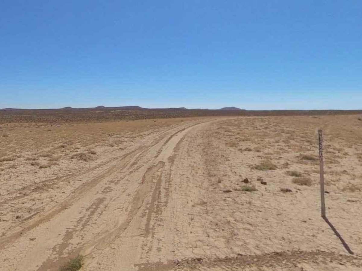
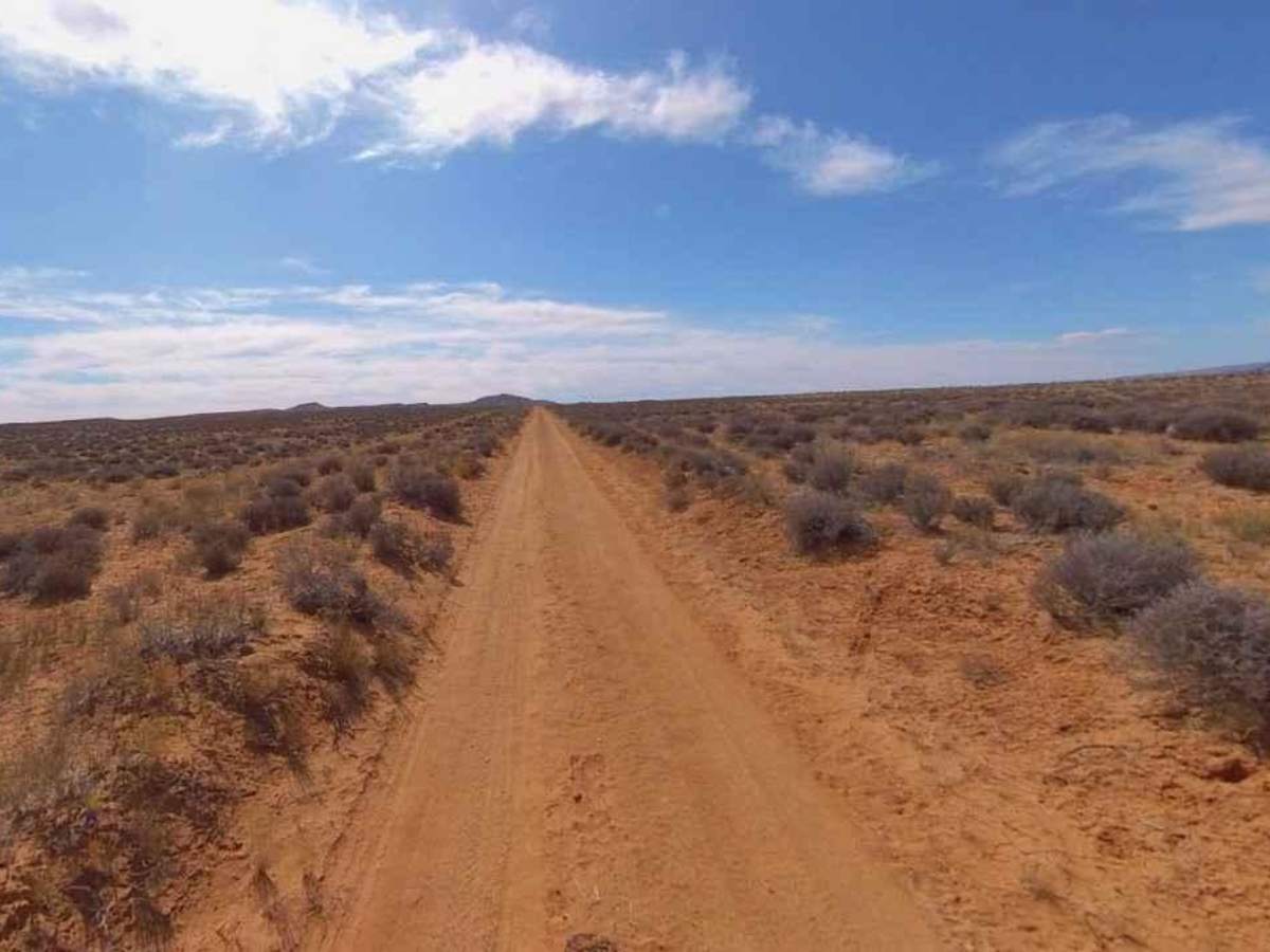
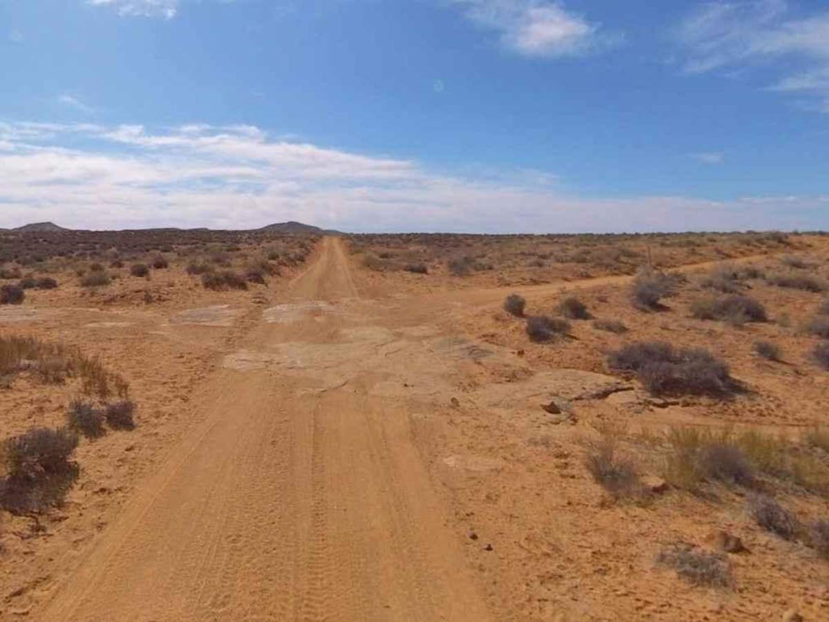
Trail Overview
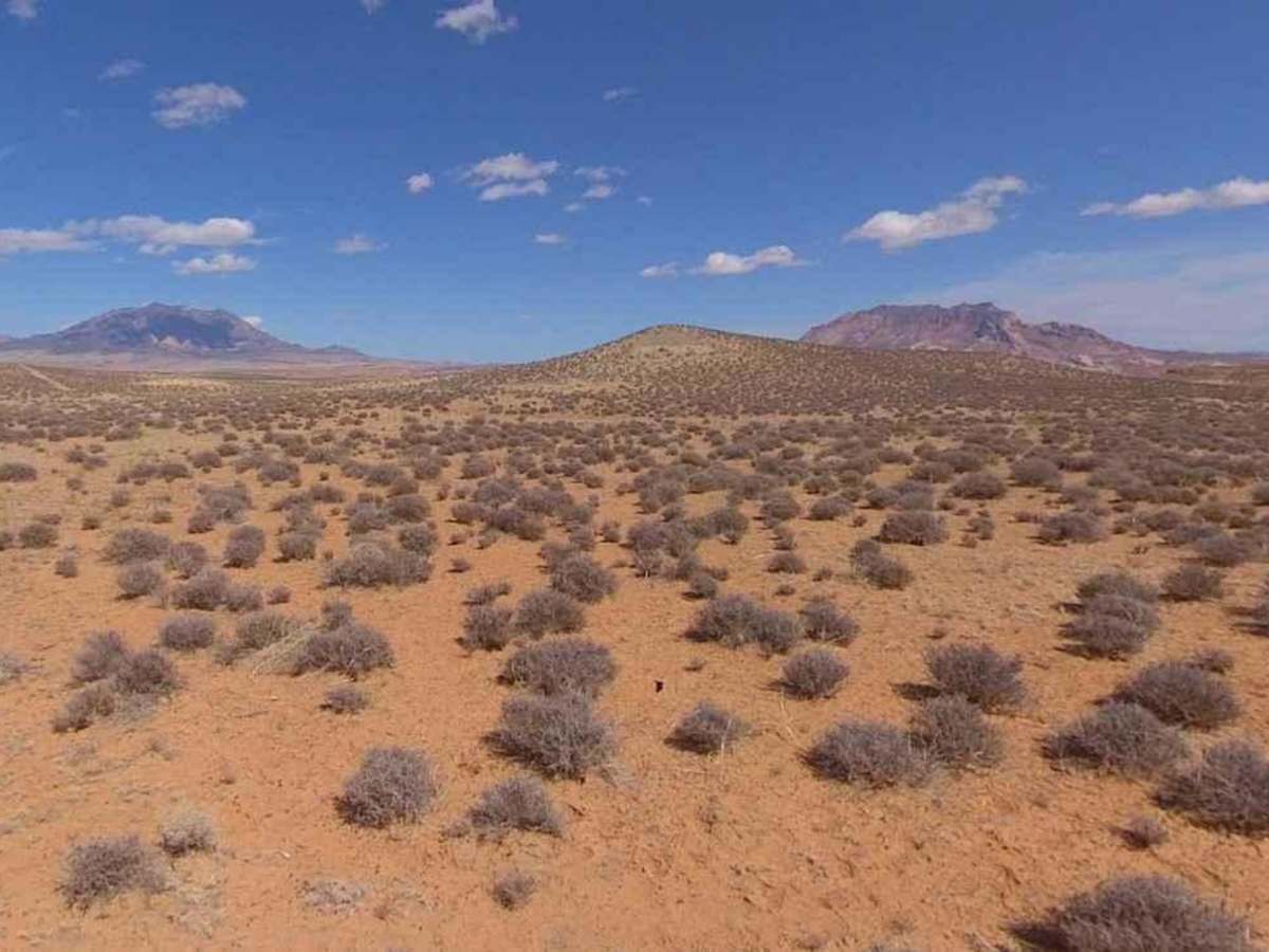
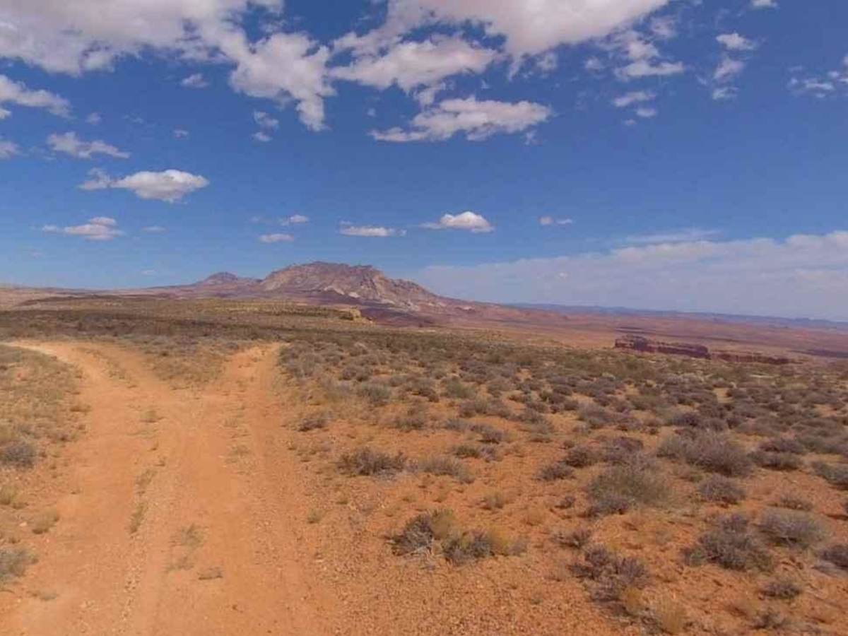
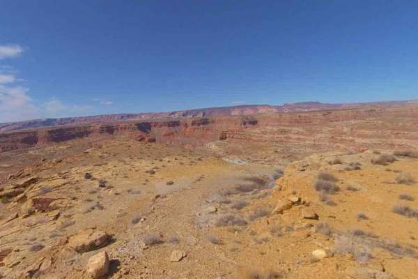
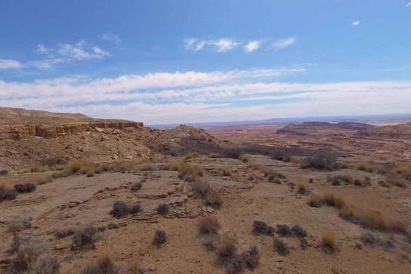
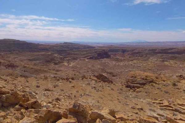
Tom Canyon-BLM13200 is a 4.1-mile out-and-back rated 3 of 10 located in Garfield County, Utah on the southernmost section of the Henry Mountains. Tom Canyon is the easternmost view point of the four fingers made up of Clay, Clay South Saleratus Points, and Tom Canyon. This is a single-track dirt trail that is hard-packed but can become mudding during and after storms. The views from each of the four points in this area (Clay, Clay South, Saleratus, and Tom's Canyon) offer different perspectives as the shadows move across the ground. The Henry Mountains and the surrounding deserts are located in south-central Utah, just north of Lake Powell. Here, almost 2 million acres of public land are administered by the Bureau of Land Management. The Henry Mountains are also notable for the free-roaming herd of bison that live there, one of only four such herds in the country (the other 3 are in Yellowstone Park). The population was established in 1941 after the relocation of 18 individual bison from Yellowstone National Park. Today the herd is estimated to be between 250 and 400 bison. There are more than a thousand miles of off-highway trails available throughout the Henry Mountains. Cell phone service is intermittent to non-existent and the nearest services are in Hanksville to the north. There are several gas stations along Highway 276 between the Bullfrog Marina and Hanksville.
Difficulty
Trail consisting of loose rocks, dirt, and sand with some slickrock surfaces, mud holes possible, no steps higher than 12". 4WD may be required, aggressive tires are a plus.