Timber Canyon Trail

Total Miles18
Technical Rating
2Easy
Best TimeSummer, Fall
Trail TypeFull-Width Road
Accessible By
Open Trail Map

Trail Overview

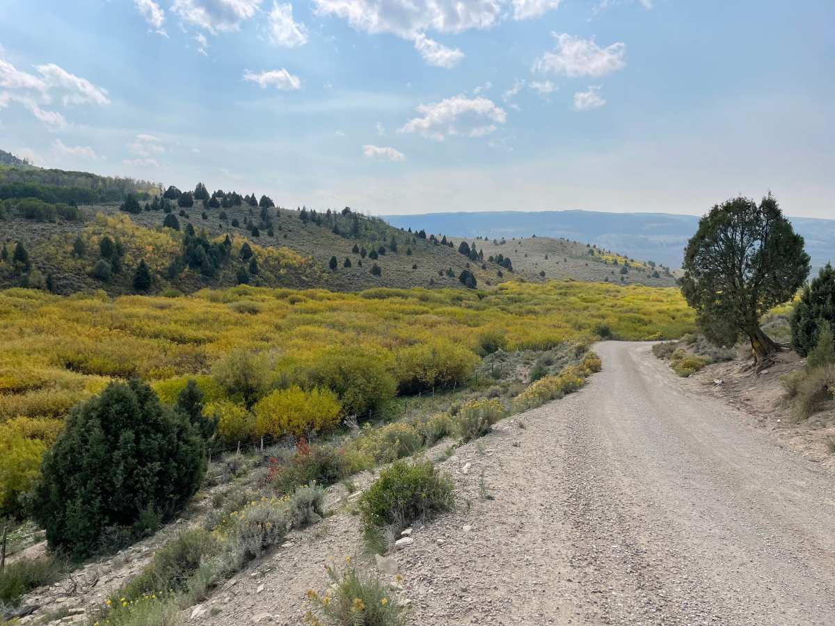
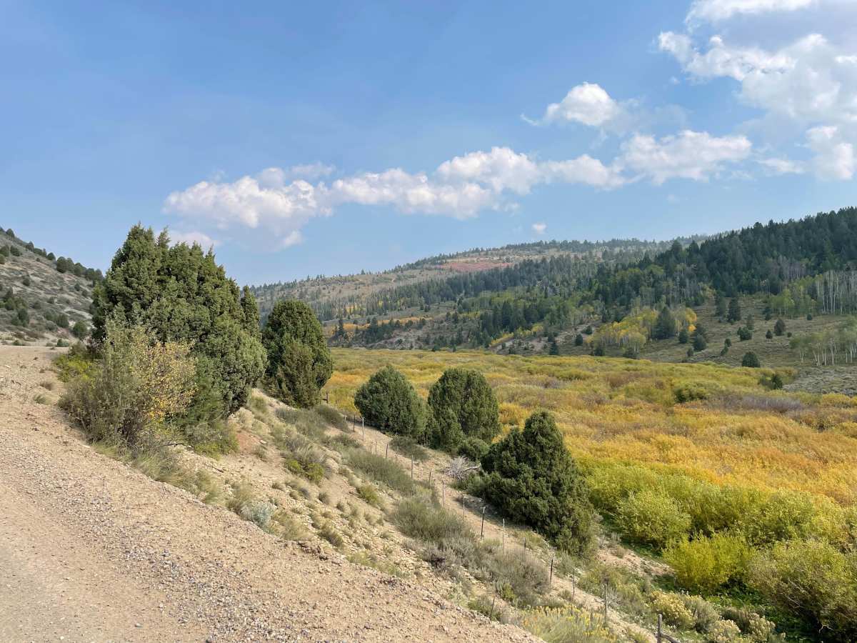
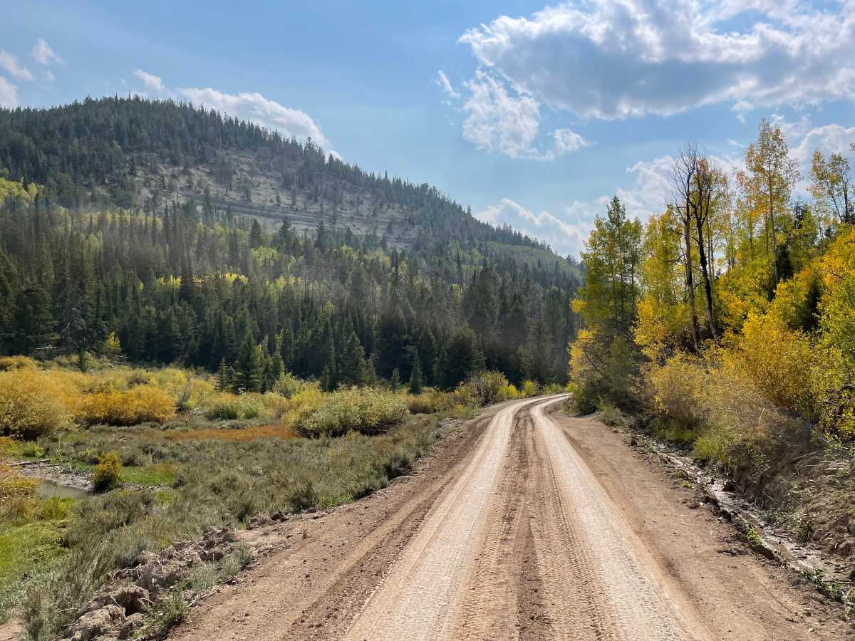
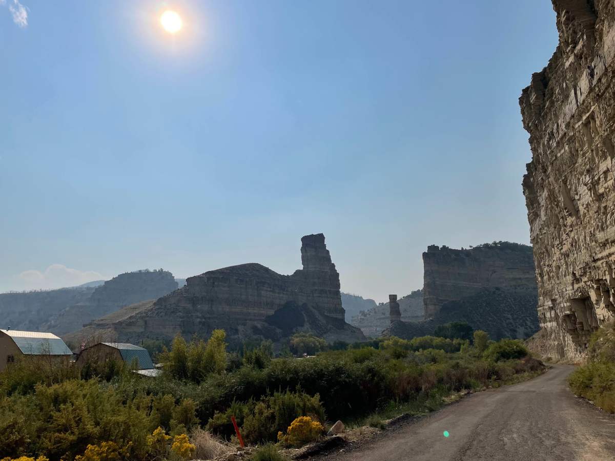
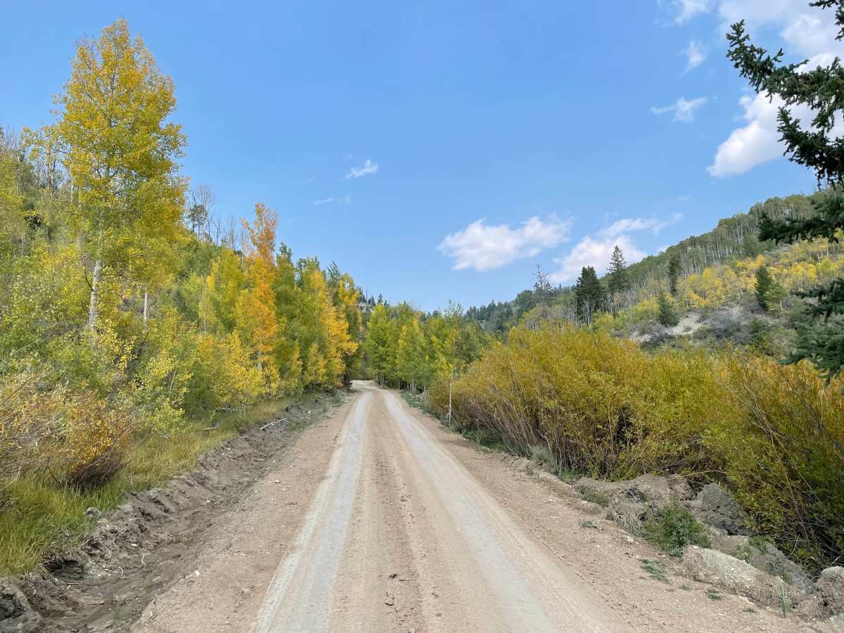
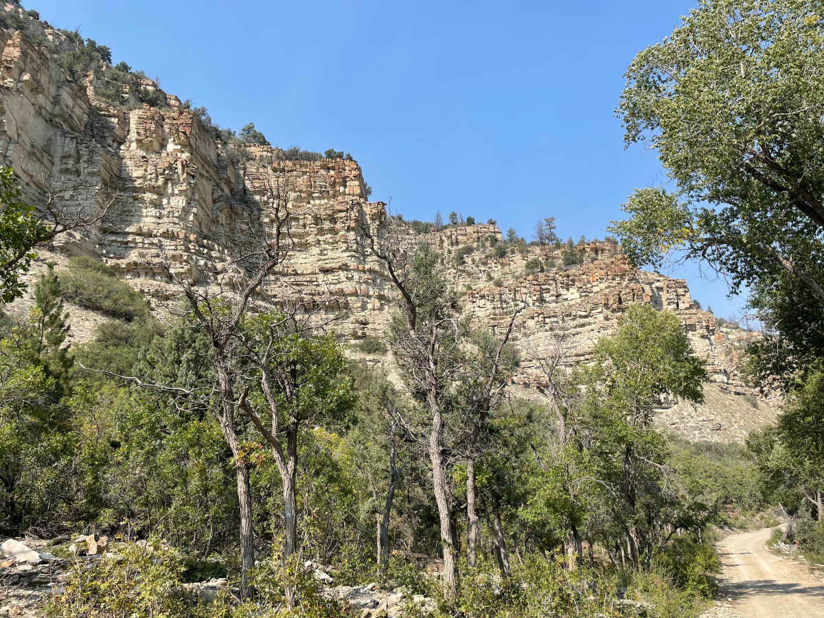
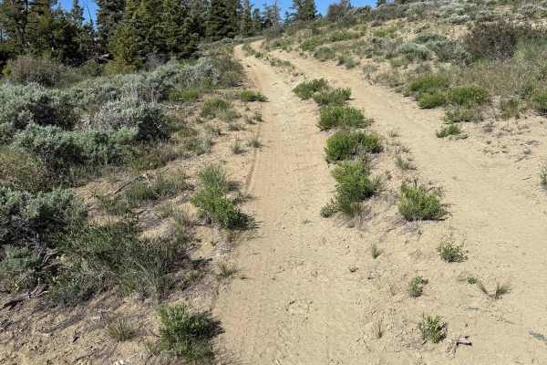
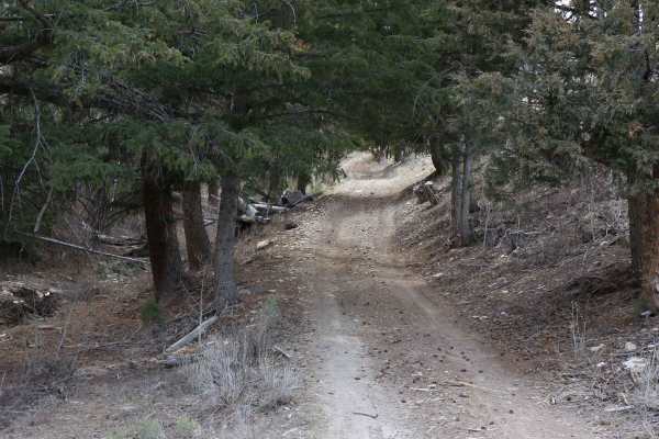
Timber Canyon Trail is an easy, highly scenic 18-mile point-to-point route ideal for beginners, families, and seasoned offroaders looking for a relaxing cruise through Utah's stunning high country. Connecting Highway 6 near Soldier Summit to Highway 40 near Duchesne, this dirt and gravel trail serves as an excellent thoroughfare that accommodates stock four-wheel-drive vehicles, SUVs, and SxSs. Starting at an elevation of nearly 8,943 feet on the western end, the route descends over 3,200 feet to its eastern terminus at 6,065 feet, offering a shifting landscape from high-altitude evergreens and aspen groves to dramatic rocky canyon walls. Early on, the trail hugs the Right Fork of the White River before eventually following the Strawberry River, providing plenty of water views and opportunities to spot local wildlife. The well-maintained dirt path is generally rated a 2 out of 10, meaning drivers with high-clearance four-wheel-drive vehicles will face very few technical obstacles under dry conditions. However, the clay-heavy soil can quickly turn into slick mud, making the route impassable during heavy rainstorms or during the early spring snowmelt. Dispersed camping spots and side roads throughout the Ashley National Forest provide plenty of options for extended exploration, but visitors must remain mindful of clearly marked private property boundaries along certain segments of the canyon floor. With its mild grades and straightforward navigation, this trail is best enjoyed from late spring through late autumn when the aspens show off their vibrant colors.

Photos of Timber Canyon Trail

Difficulty

Generally very well maintained trail surface, but can be impassible during heavy rain or in early Spring.

History

Please note Private Property signs, in certain areas, and respect the trail accordingly.

Technical Rating

2

Status Reports

Add Status Report
Zach Wallin
Mar 21, 2026
2024 Toyota Tacoma
Obstructed
Deep Snow
The trail is free, clear and in great until just before the split to head over to Strawberry Peak. At this point, the trail becomes blocked by deep snow making it impossible to pass. Give the trail another month of warm weather and it will be passable.
Mike Herring
Mar 20, 2026
Obstructed
Deep Snow
Beautiful riding up until Water Hollow. Moving higher up there’s still plenty of mud and snow. Finally had to turn around back to 40
J Taylor
Jul 11, 2025
Open
the trail was super fun and super easy but for as long as the trail is it's a lot of the same thing and since there has been a fire the best looking part is the rock formations which got old fast. it was fun but I probably wouldn't do it again
Tyler D’Hulst
Sep 02, 2024
Open
Dusty
A great easy trail following the Strawberry River and its tributary Timber Creek. We did this and connected up with Reservation Ridge and Argyle Canyon as part of our multi day overlanding trip along the Utah BDR.
Mike Pushman
Aug 11, 2024
2023 Toyota Tacoma
Open
Matt R
Jul 04, 2024
Open
Dusty
Started at Strawberry Pinnacles. Made my way to highway 6 via Timber canyon. Very cool trail with lots of washed out bridges that are now water crossings. 5 I think. Had to get past a herd of cows and that added about an hour to the adventure. Then some sheep blocked the road. Towards 6, a steep downhill with many trucks pulling campers, added some close encounters. I air down when I off road but if you don’t have a compressor there is pay air just to the right on 6 at the summit station. Trail can be done with a 2WD on a dry day but need 4wd if wet.
Tanner Mertlich
Jun 16, 2024
Open
NormalDusty
Todd Nebeker
Oct 07, 2023
Open
Normal
Kenzie Chaudoin
Jul 16, 2023
2022 Chevrolet Colorado
Temporarily Closed
Posted Sign
Trevor Seidel
Jun 19, 2023
Obstructed
WashoutDowned TreeOther

Timber Canyon Trail Trail can be accessed by the following ride types:

  • Single Track
  • 50 Inch
  • 60 Inch
  • High Clearance
  • Full Width

Timber Canyon Trail Map

The onX Offroad Difference

onX Offroad combines trail photos, descriptions, difficulty ratings, width restrictions, seasonality, and more in a user-friendly interface. Available on all devices, with offline access and full compatibility with CarPlay and Android Auto. Discover what you're missing today!

Open Trail Map