Trail Overview
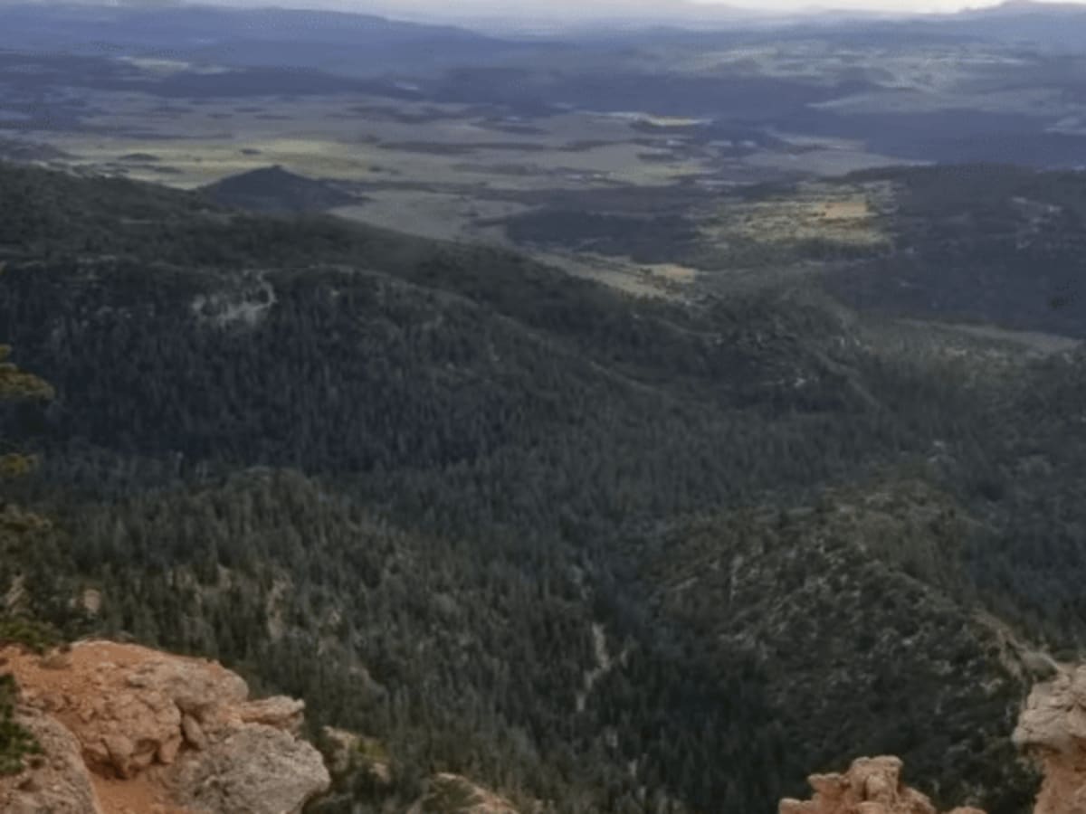
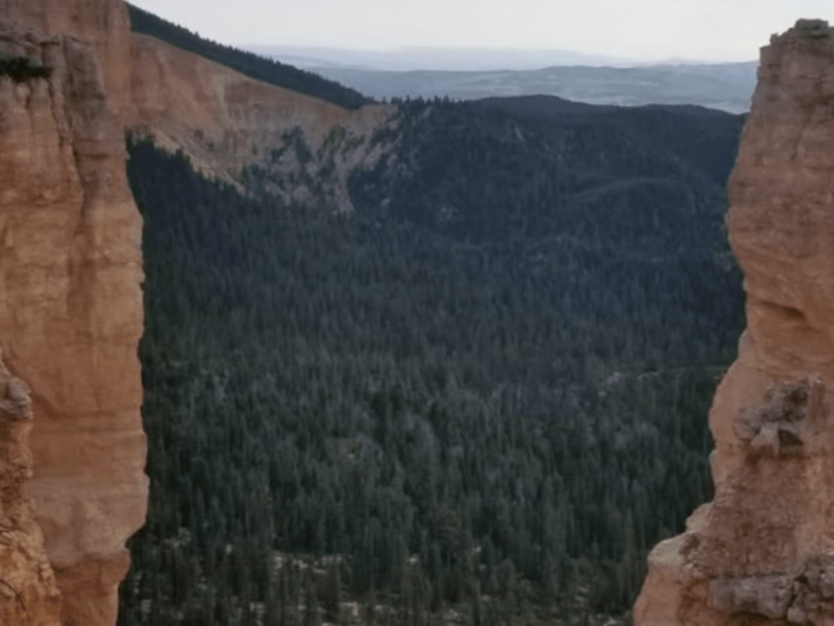
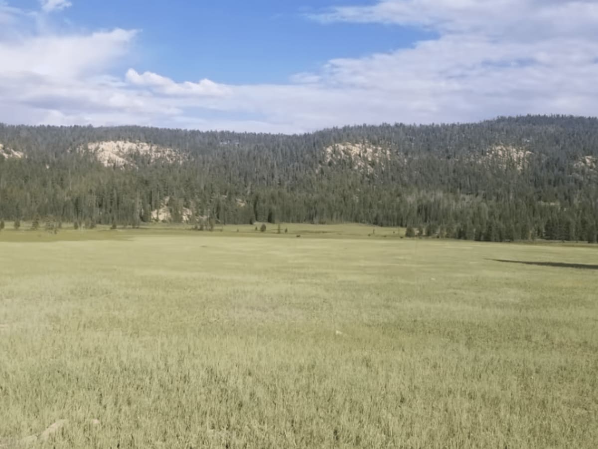
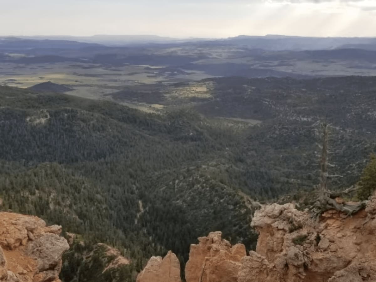
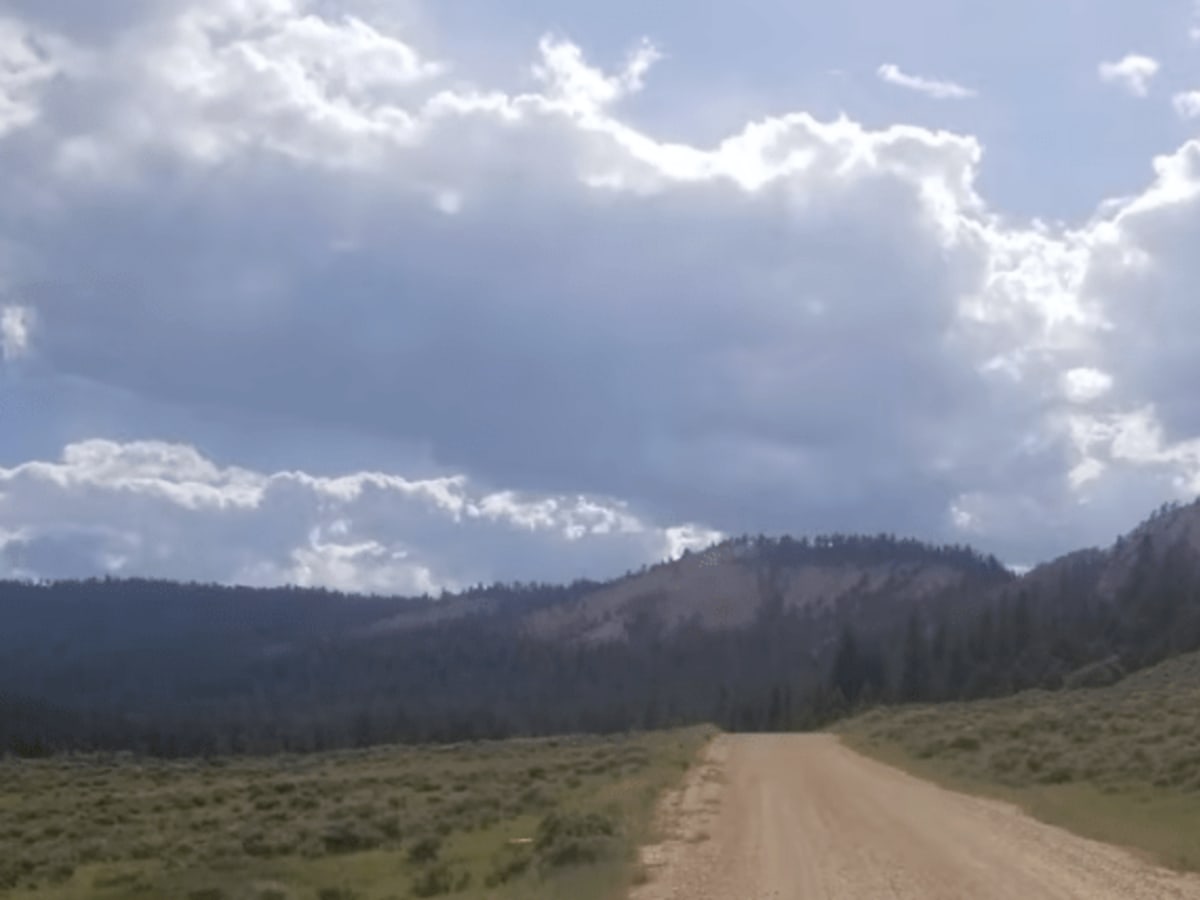
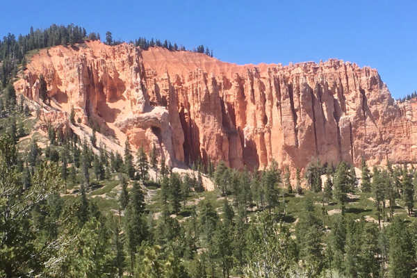
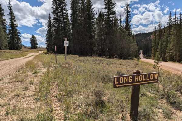
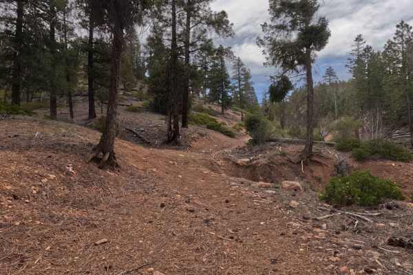
Straight Canyon is a scenic, non-technical mountain route perfect for beginner offroaders, ATVs, and SxSs looking to escape the crowds near Bryce Canyon and explore remote high-altitude forests. Branching off Tropic Reservoir Road, this fifteen-mile trail climbs from 7,998 feet to an elevation of 9,001 feet, winding through beautiful stands of aspen and dense pine. The trail features stunning, west-facing overlooks that offer panoramic views looking down towards Kanab and the sweeping valleys of southern Utah. While the track is relatively easy, certain sections can become narrow and overgrown with brush, so drivers should expect some light pinstriping on larger four-wheel-drive vehicles.
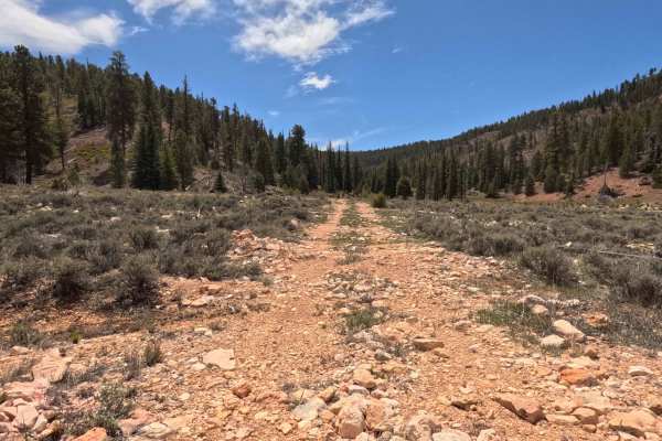
With a mild technical rating of two, the route consists primarily of standard unpaved U.S. Forest Service roads with occasional rocky patches. The total elevation gain is around 1,095 feet, offering a gentle, rolling cruise that makes it highly accessible for stock four-wheel-drive vehicles, though its narrow nature makes it a favorite for local ATV rental companies and utility task vehicles. Traffic can increase on busy summer weekends, but for the most part, Straight Canyon offers a peaceful, less-traveled alternative to the bustling trails closer to Bryce City and Hatch.

 Offroad