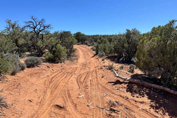
Trail Overview
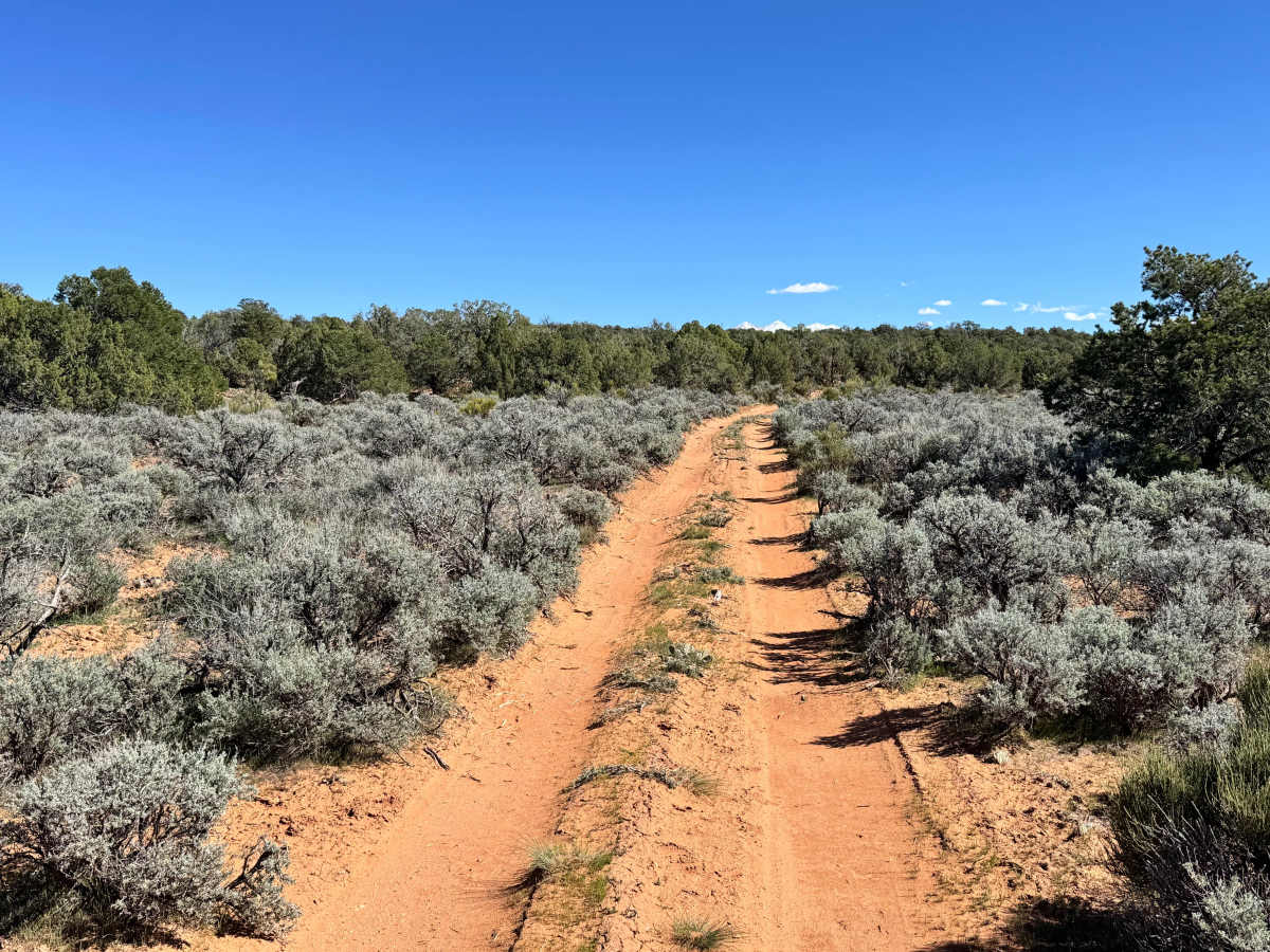
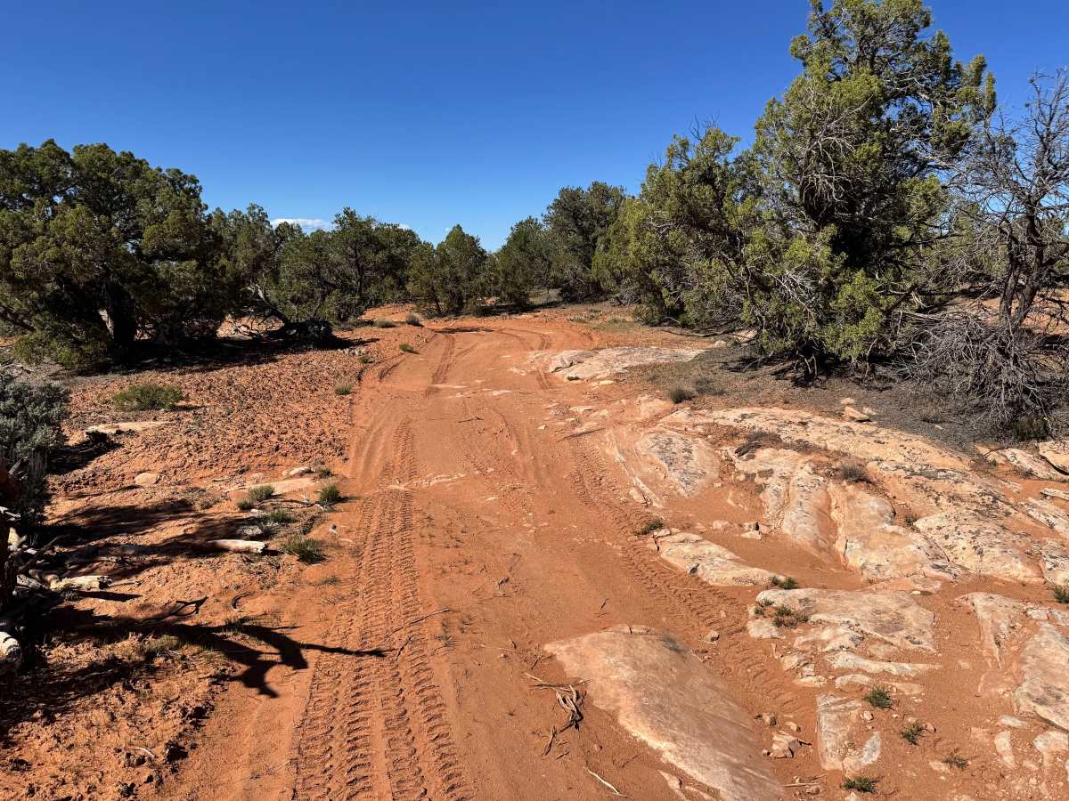
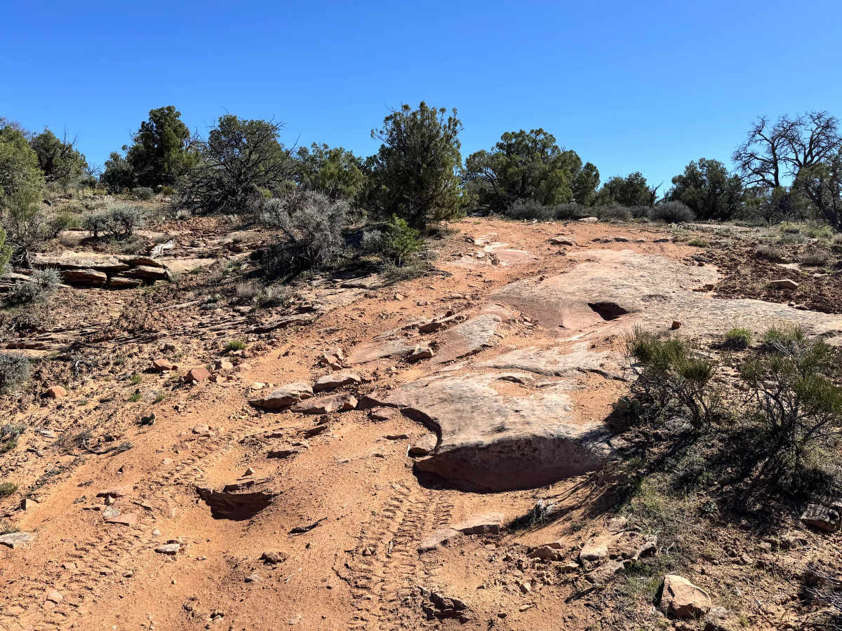
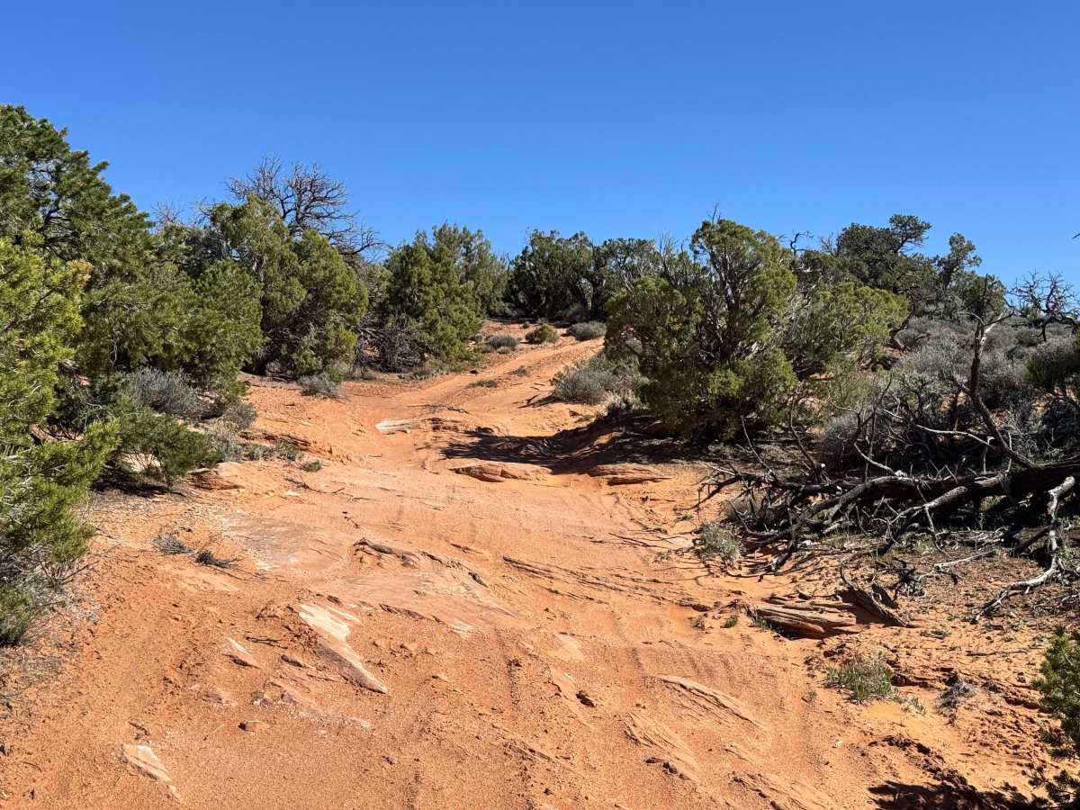
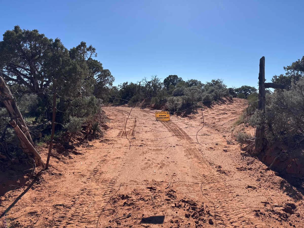
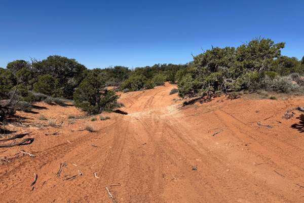
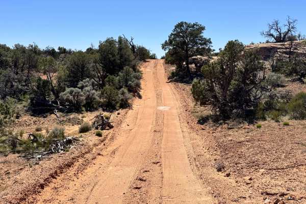
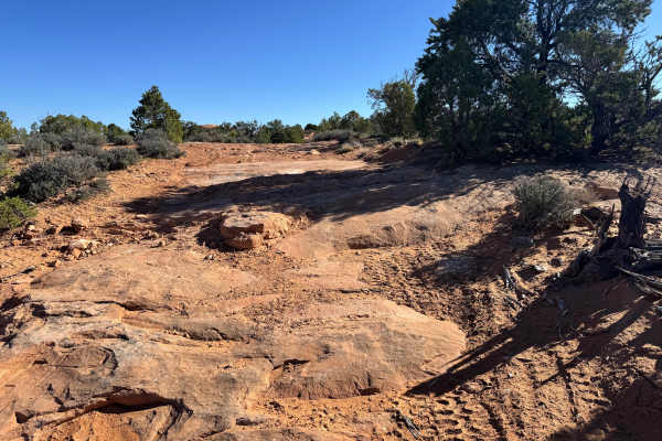
Non-Resident OHV permits apply to ATVs, UTVs, and dirt bikes. Plated street-legal vehicles typically do not need one on legal motorized routes. This short 1.6-mile dead-end spur follows the southwest end of Dome Plateau to a dramatic rim nearly 2,000 feet above Professor Valley. For more than half a mile, the route travels near the edge of the plateau and delivers sweeping panoramic views of the La Sal Mountains, Parriott Mesa, Castleton Tower, the Priest and Nuns formations, the Colorado River, and Highway 128 far below. The trail is generally easy for a high-clearance 4WD vehicle, but expect occasional washouts, scattered 6–8 inch rocks and ledges, and one loose hill climb where low range may be helpful. Several sections are lined with tighter brush, so wider vehicles should expect possible pinstriping. As you near the top, the scenery opens dramatically with red rock cliffs and broad valley views in every direction. The trail ends at a small roundabout that can accommodate only a few vehicles, making it best for smaller groups. Nearby level ground and slickrock patches also provide scenic camping opportunities.
Difficulty
This route is generally easy for most stock high-clearance 4WD vehicles, but a few features raise it above a basic dirt road. Expect occasional washouts, scattered rocks, ledges up to 12 inches tall, one loose hill climb where low range may be helpful, and tighter brush that can cause pinstriping on wider vehicles.
History
Dome Plateau sits within a region shaped by erosion, mining history, and early backcountry travel routes outside Moab. Today, the trail system is popular with off-road travelers looking to experience classic red rock scenery beyond the busier in-town trails.