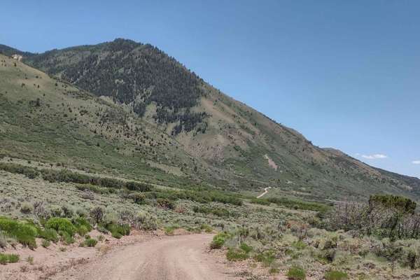
Trail Overview
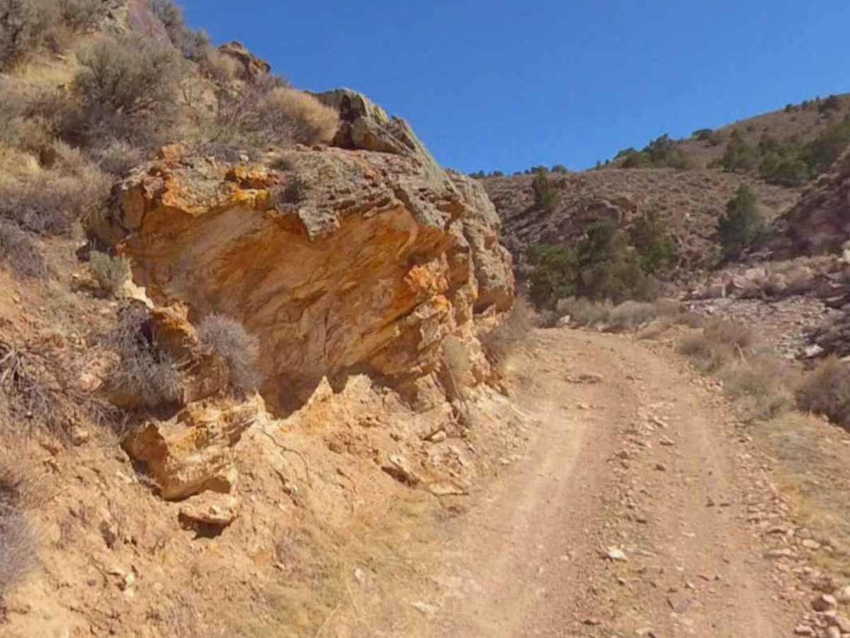
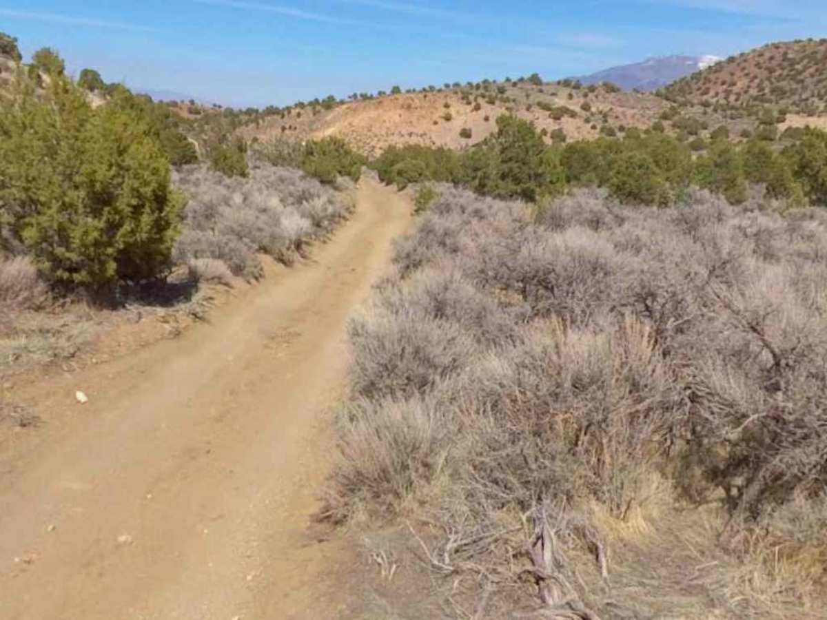
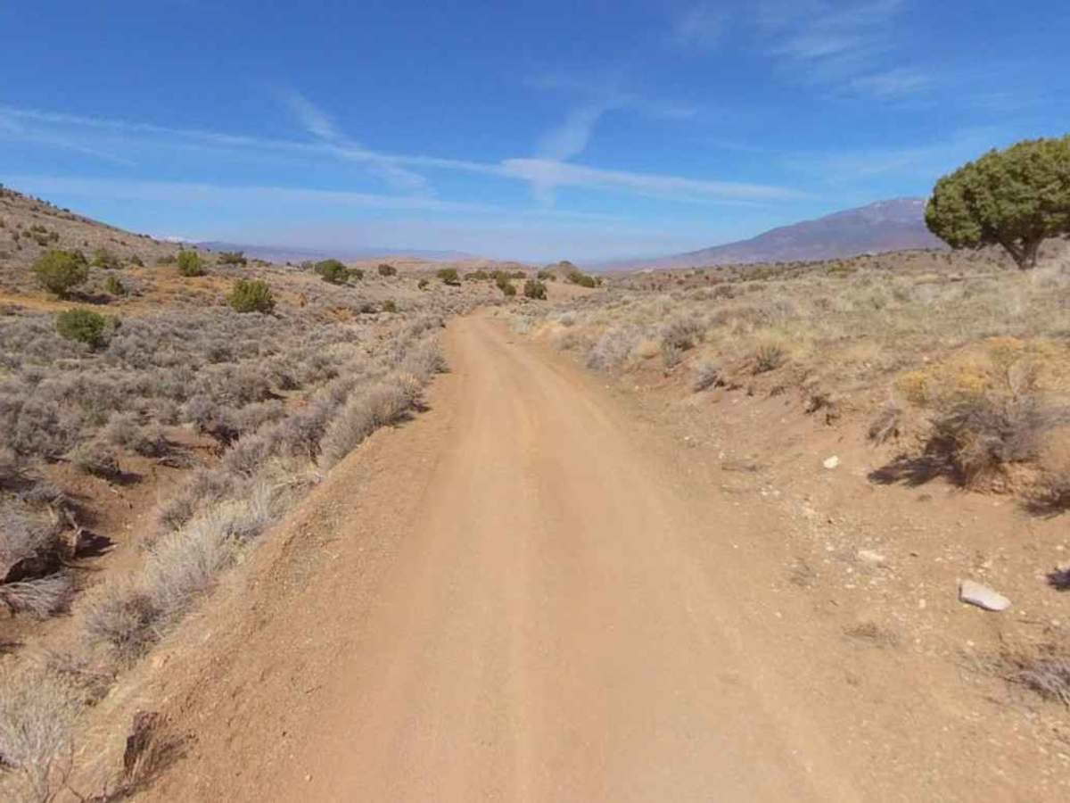
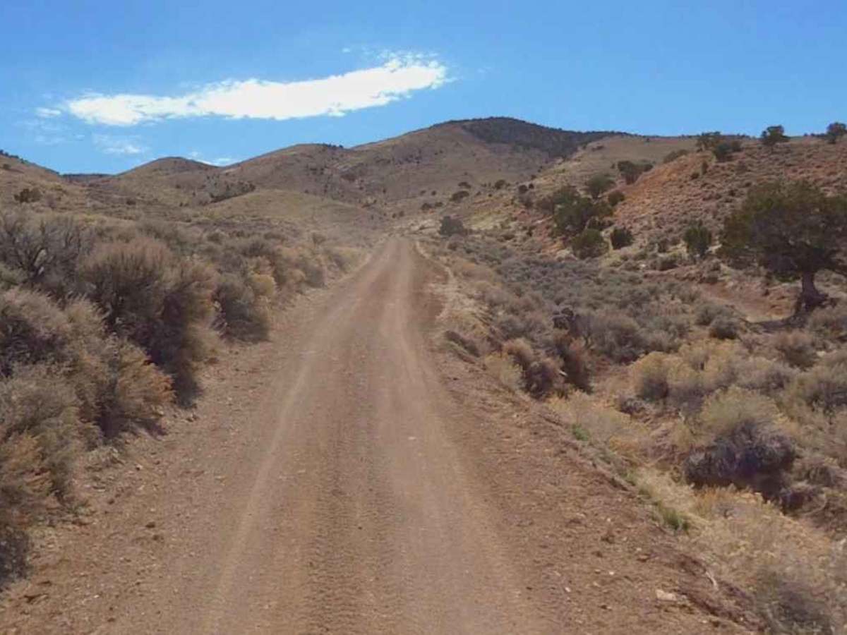
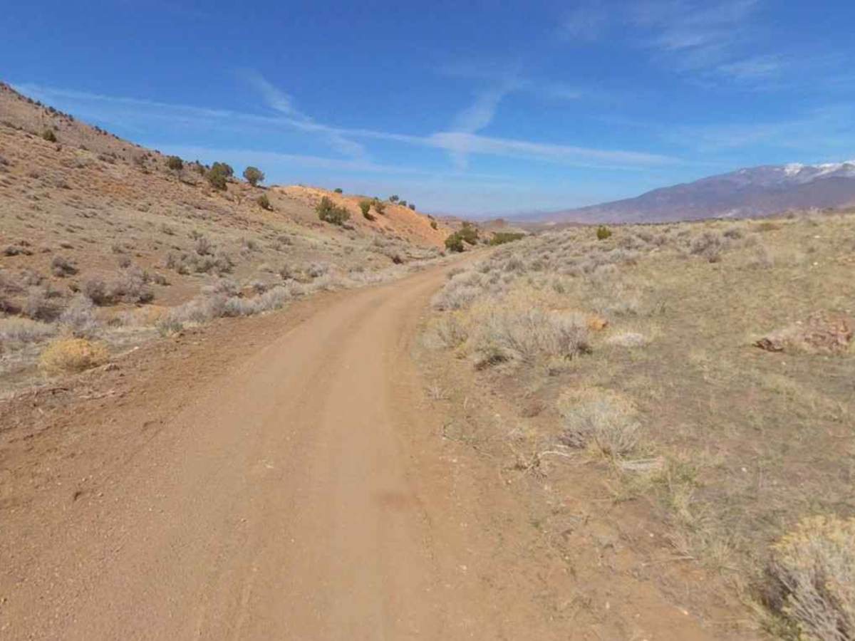
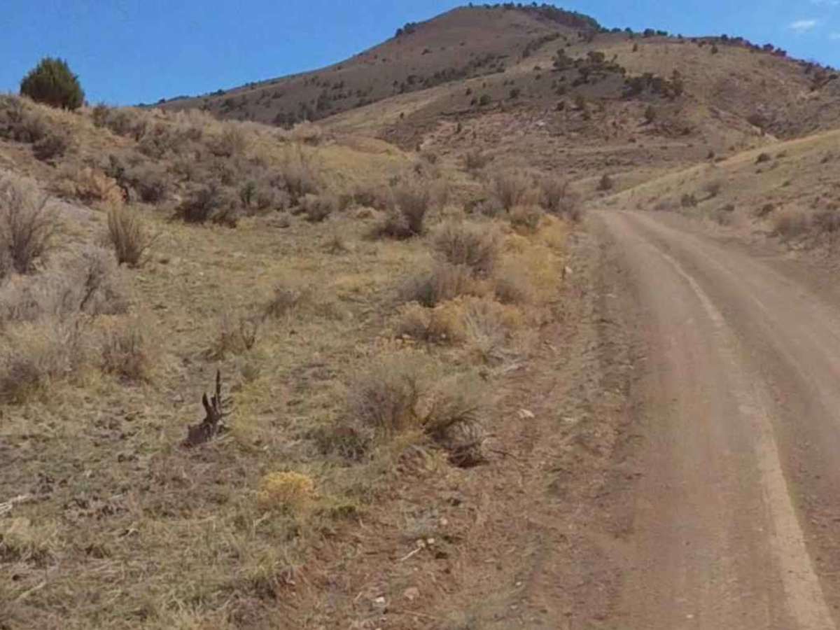
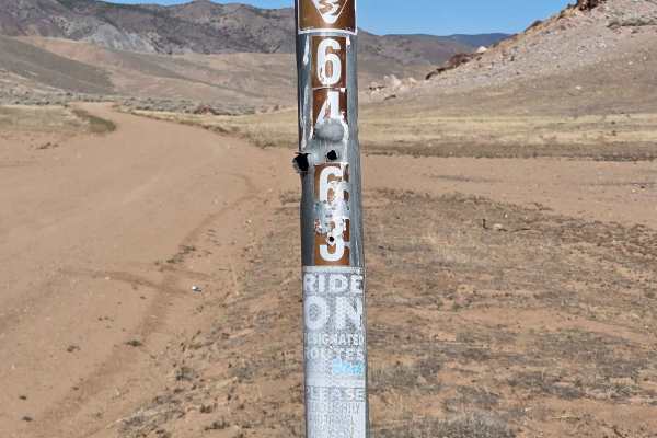
Poverty Flat Road is a 2.3-mile point-to-point trail rated 3 of 10 located in Sevier County. There are multiple roads in this area named Poverty Flat with different county or state designators. This trail is also identified as 1035da Poverty Flat Road by the State of Utah. This is a hard-packed dirt trail with embedded rock. It is not maintained or graded, and although there are no significant obstacles, care must be taken to watch for washouts along the edges of the trail. The trail is single vehicle wide with a continued elevation gain when running north to south. Watch for fast-moving ATVs, as this trail seemed to be popular with the smaller vehicles. Expect the trail to be dusty in the summer and muddy after any significant precipitation. This is one of several trails that lead to the Flat Top area and the local mins east of Hoover's. The southern end of the trail connects with the Flat Top-Poverty Flat trail, which provides additional access to the Antelope Range and Monroe Mountain. There are a host of additional trails in the area, some of which are designated as non-motorized and others that have been converted to off-highway use. Many of the trails in the area cross through private property or mining areas, so remember to stay on the trail and respect property signage. Cell phone service is intermittent further south on the trail. The nearest services are in Joseph and Monroe to the north and Marysvale to the south.
Difficulty
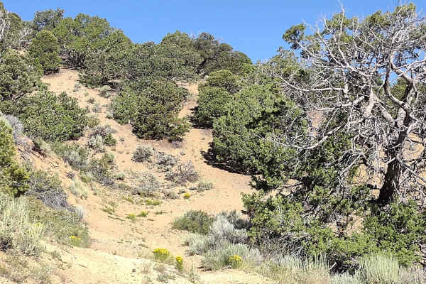
The trail consists of loose rocks, dirt, and sand with some slickrock surfaces, and mud holes are possible. 4WD may be required; aggressive tires are a plus.