Trail Overview
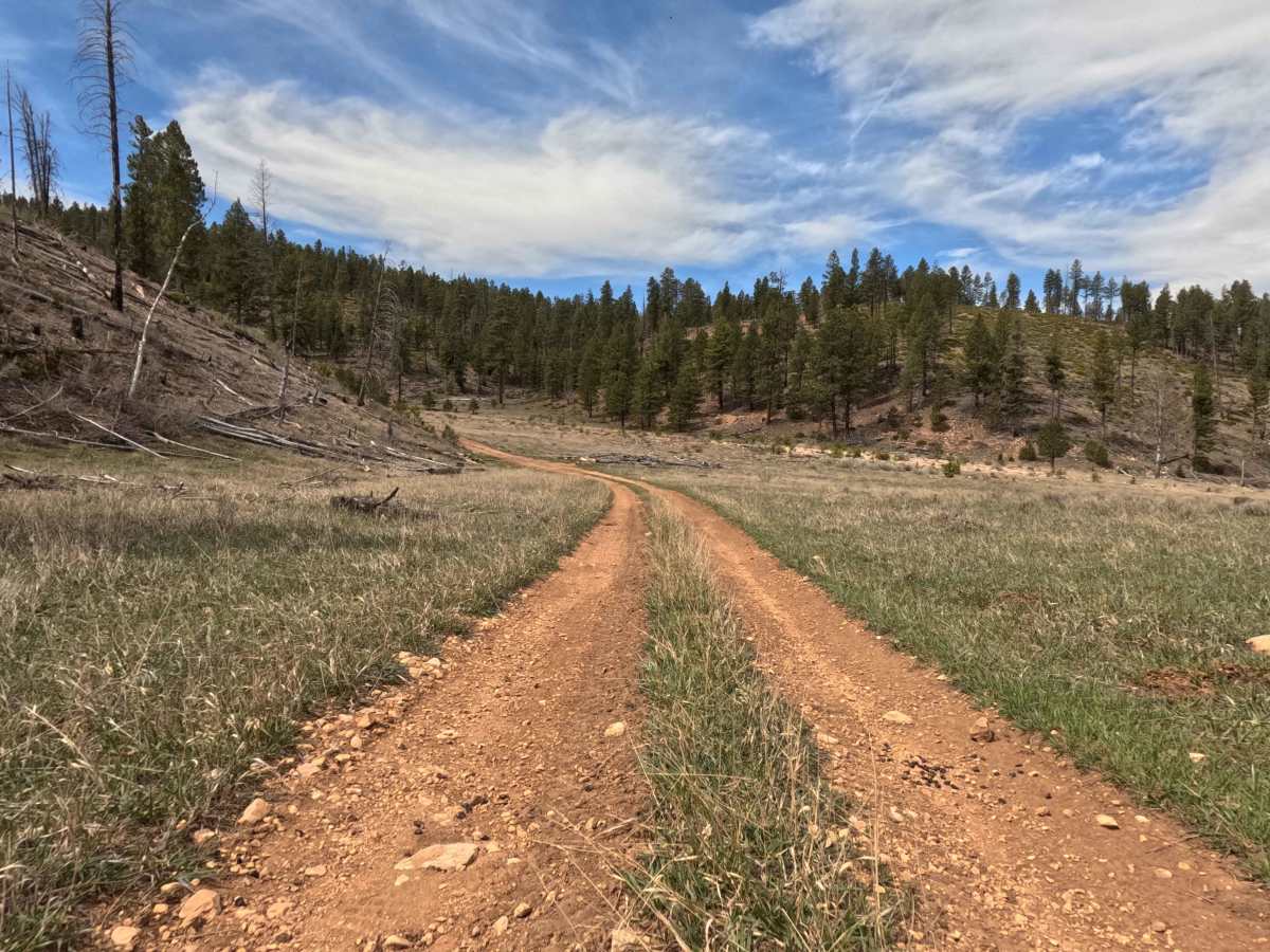
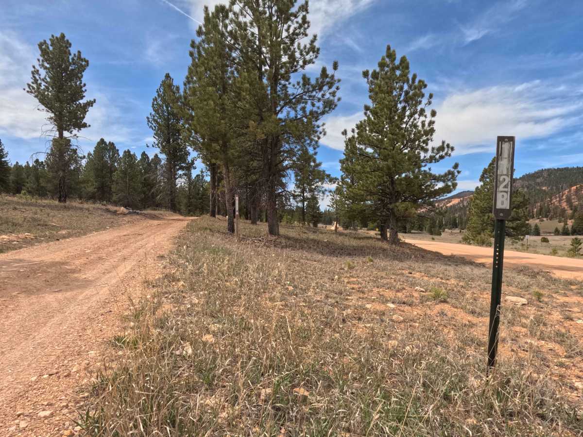
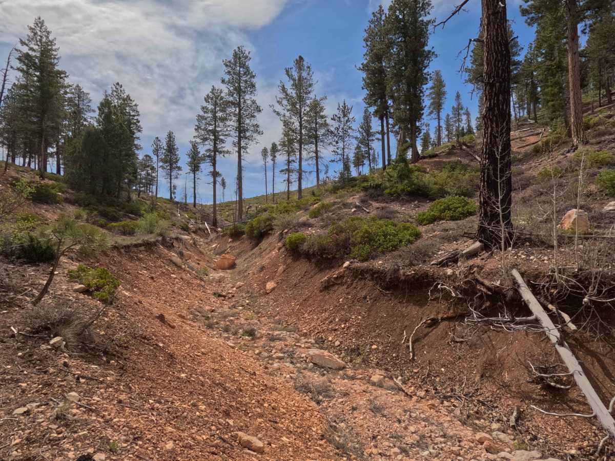
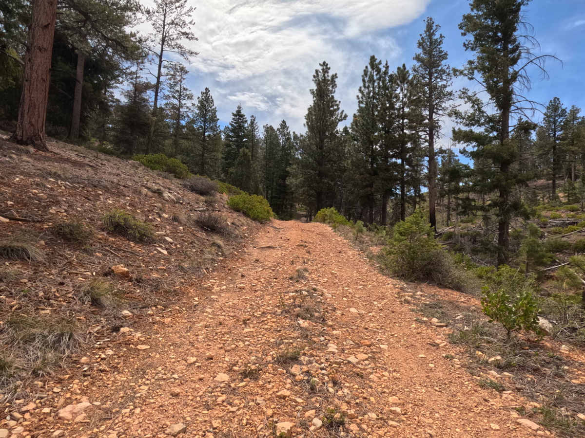
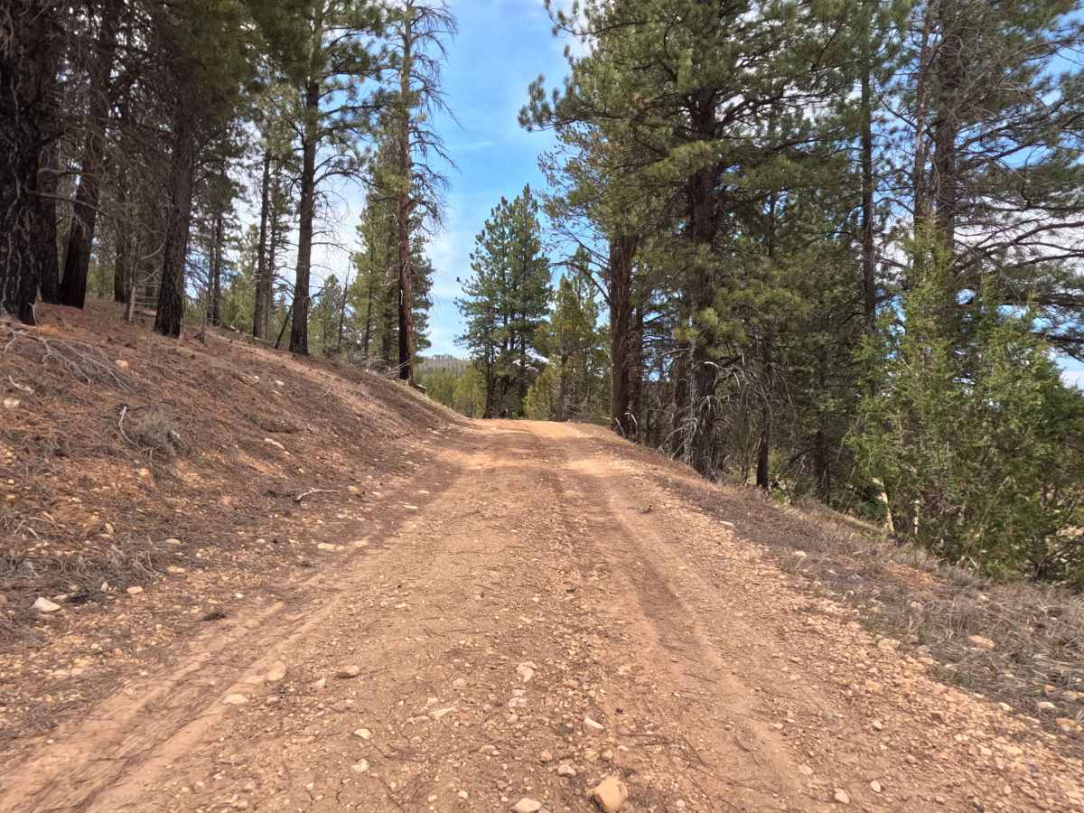
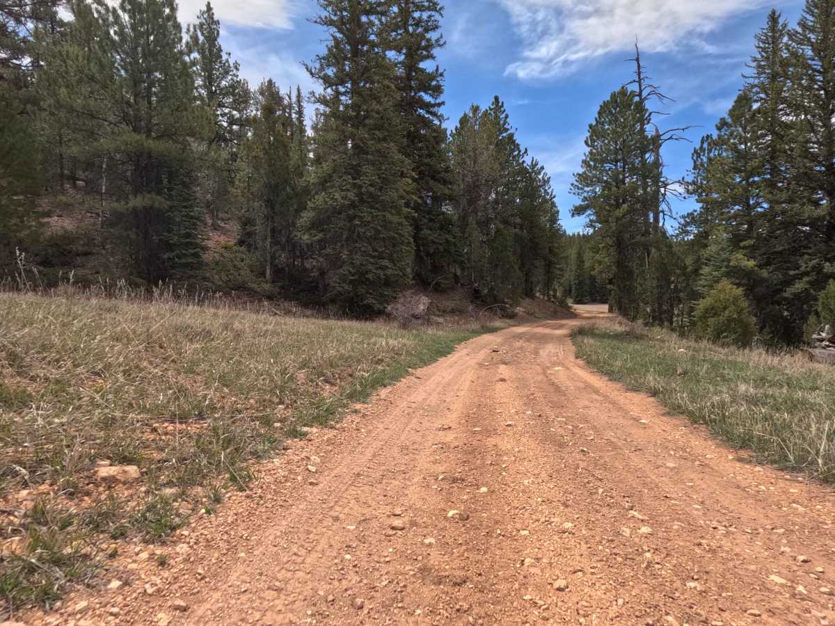
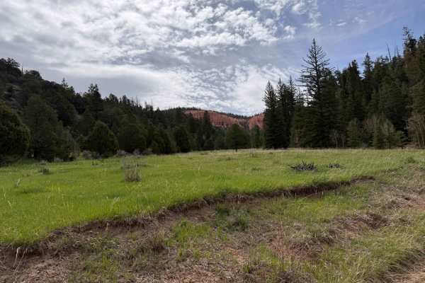
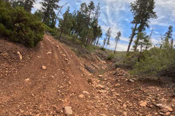
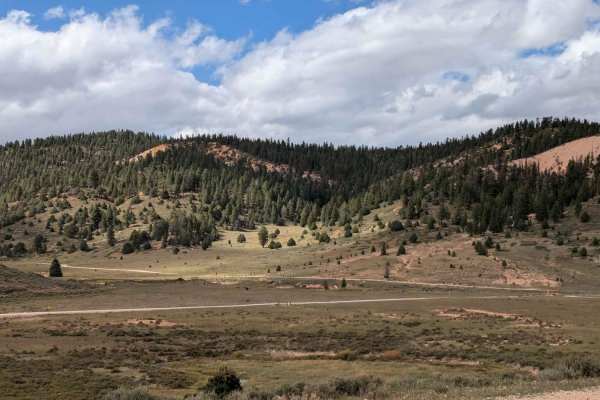
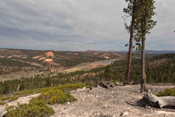
Forest Service Road 1128 doubles as Segment 3 of the well-known Paunsaugunt ATV Trail. This short but highly immersive 1.36-mile route guides explorers on a tight, winding climb directly up into Ingram Hollow. The journey begins as a relatively smooth dirt track flanked by towering evergreen pines and open grassy meadows, but the terrain quickly transitions. As the elevation increases, the single-lane forest corridor narrows and becomes increasingly rugged, characterized by a bumpy, rocky red-dirt surface. Drivers will be treated to beautiful, dense forest views as they carefully pick their lines through the scattered rocks. It is crucial to note that this route does not provide a throughway; the trail abruptly and permanently dead-ends at a severe, impassable washout that has been filled with a massive barricade of large boulders. Explorers must turn around at this physical barrier and backtrack out of the hollow.
Difficulty
The Paunsaugunt (FS 1128) earns an Easy Level 2 technical rating primarily due to its persistently rough, rocky surface. While the road is entirely free of extreme off-camber threats or deep mud bogs, the continuous embedded and loose rocks on the climb through Ingram Hollow demand a vehicle with adequate ground clearance to avoid undercarriage scrapes. A standard AWD crossover, stock SUV, or high-clearance 2WD truck can confidently manage this bumpy ascent with careful, deliberate tire placement. However, all vehicles must safely halt at the severe washout at the end of the route, as the massive rock barricade is completely impassable for any vehicle.