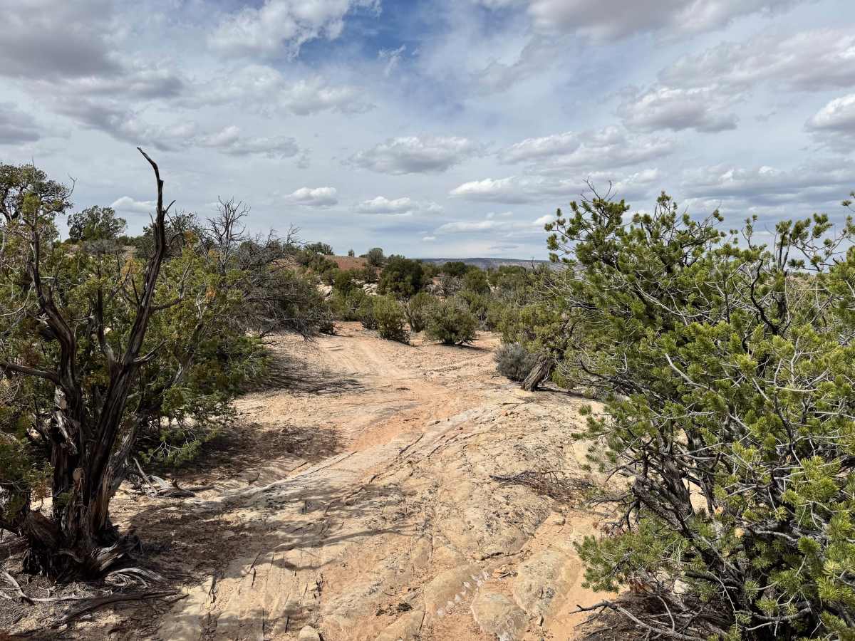
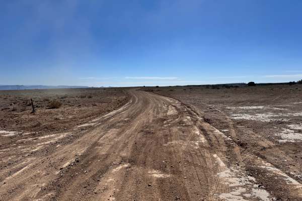
Trail Overview
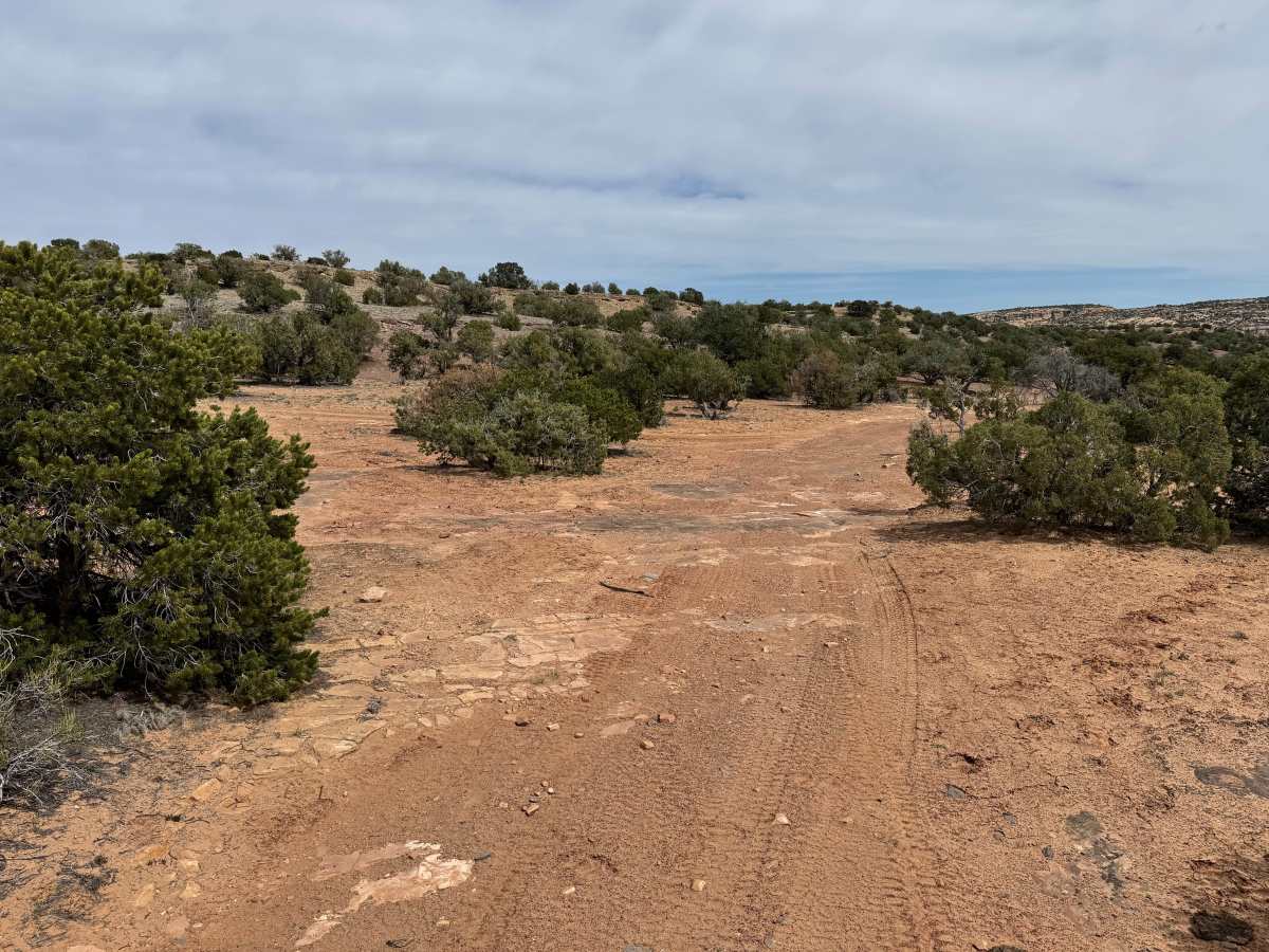
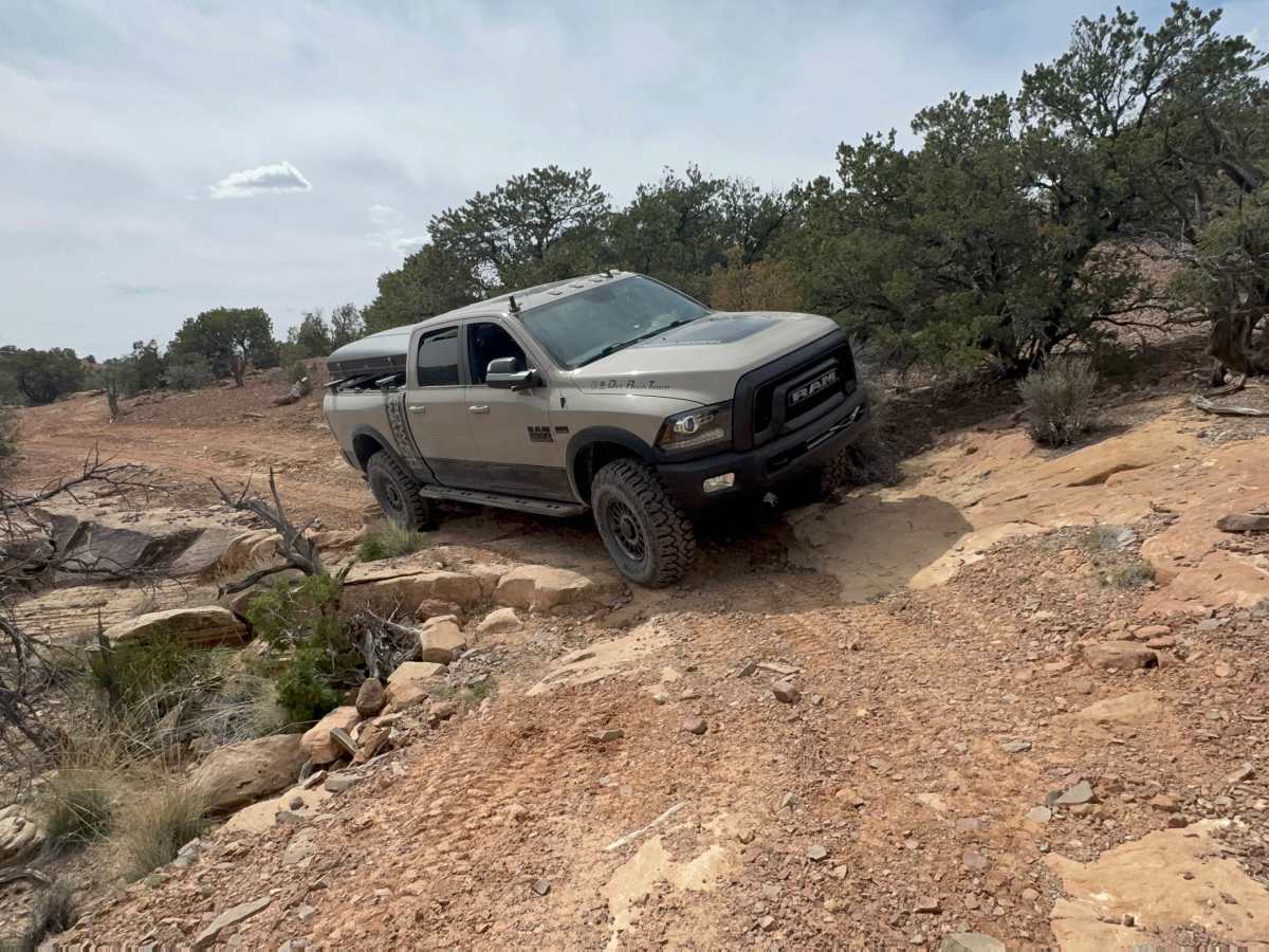
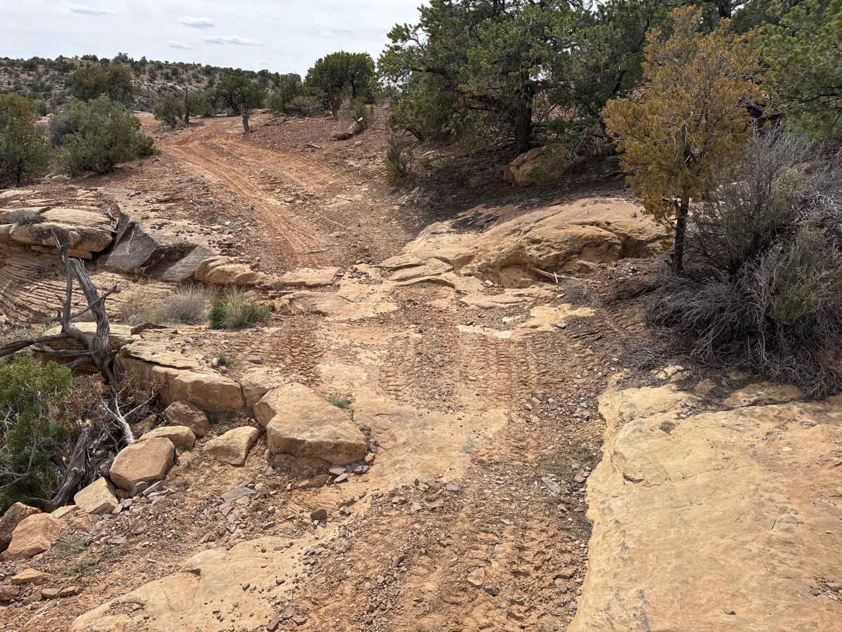
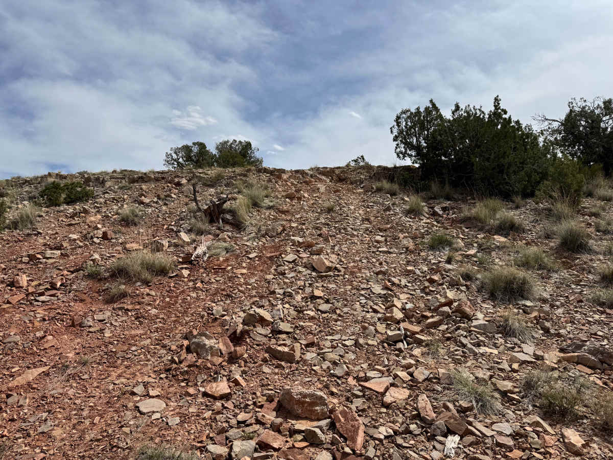
Non-Resident OHV permits apply to ATVs, UTVs, and dirt bikes. Plated street-legal vehicles typically do not need one on legal motorized routes. Pack Saddle Flats delivers a true backcountry experience with a mix of terrain that keeps the drive engaging from start to finish. The trail begins across open ranching land where cattle roam freely, so awareness is key as you cross miles of grassy prairie with Chimney Rock and Cedar Mountain rising in the distance. As the route progresses, it transitions into more technical sections, including rocky climbs, short steep grades, and narrow ridgeline driving with exposed views down into the valleys below. The southern portion presents the biggest challenge, featuring a loose rock hill with a ledge at the top that may require a controlled bump and adequate ground clearance. Beyond this, the trail tightens through trees and along cliff edges, limiting access for wider vehicles. While suitable for stock or lightly built 4x4s, larger rigs like camper vans or full-size trucks may struggle in the narrow sections. This trail connects Green River Cutoff to more remote parts of the San Rafael Swell, offering a rewarding route for those looking to avoid maintained roads and experience a more rugged, isolated landscape without extreme obstacles.
Difficulty
Pack Saddle Flats pushes into moderate due to a 2-foot rock ledge on the southern section, which becomes the defining obstacle of the route. This climb requires good ground clearance, proper approach angle, and confident throttle control. The rest of the trail includes rocky sections, narrow ridgeline driving, and loose terrain that keeps drivers aware and engaged. Vehicle width becomes a concern in tighter sections along cliffs and through trees, making pinstriping a possibility for full-size trucks and vans. Overall, it’s best suited for high clearance 4x4s with experienced drivers or lightly modified rigs looking for a mild challenge with one standout obstacle.
History
The San Rafael Swell is a massive geologic uplift shaped by erosion into canyons, mesas, domes, and reefs. Many roads in the region were later used for ranching, mining, and energy exploration, creating the access routes travelers still use today.