Trail Overview
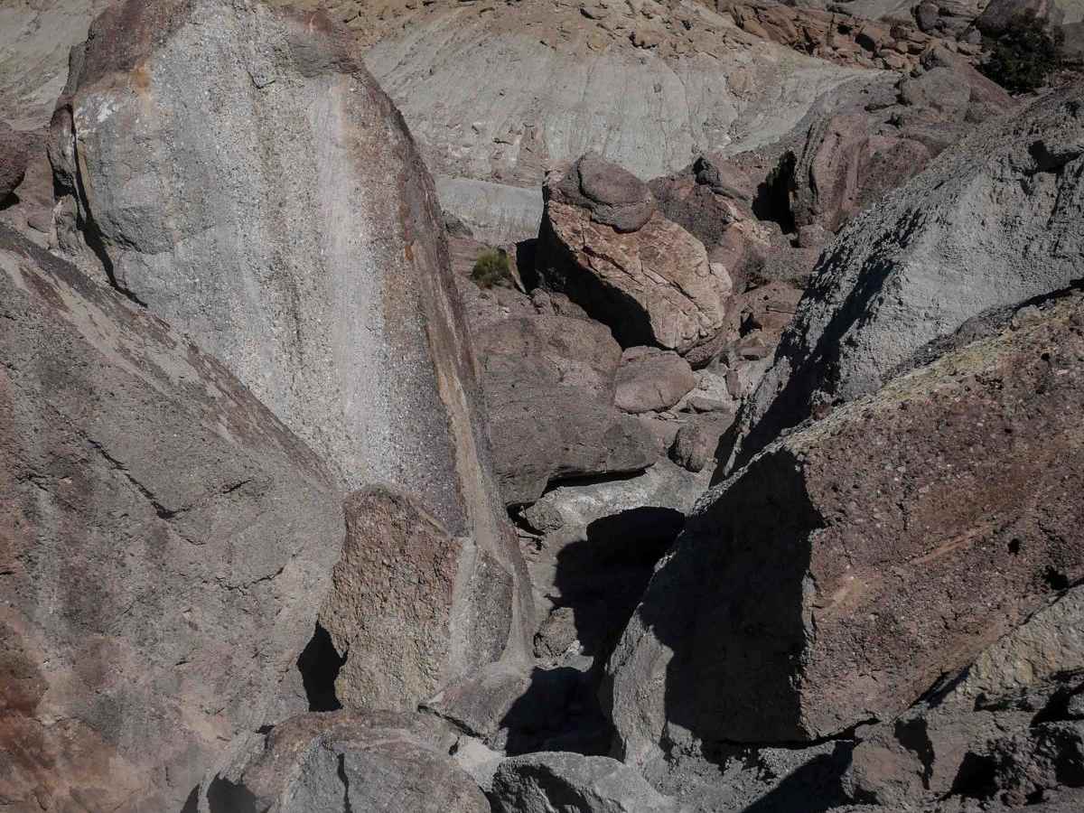
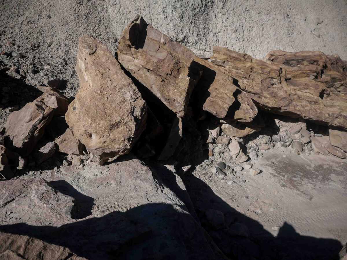
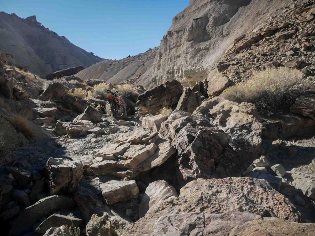
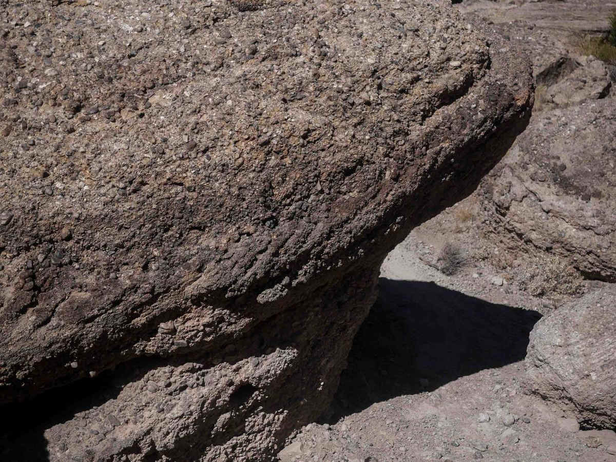
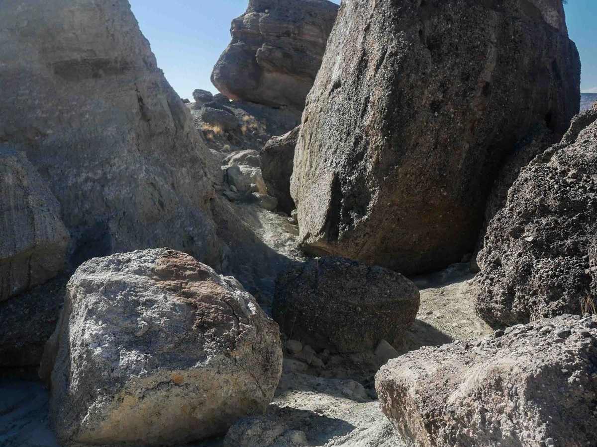
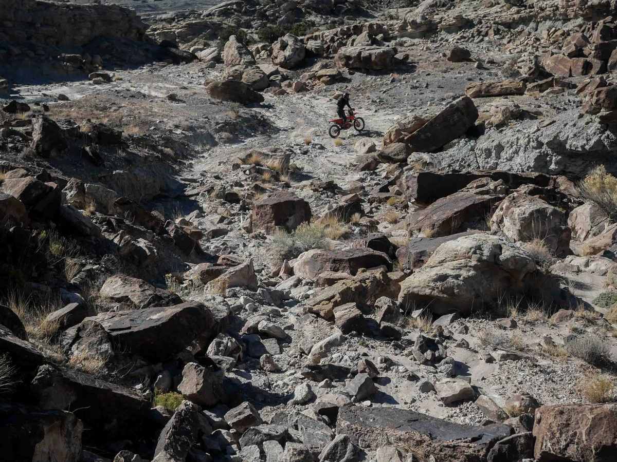
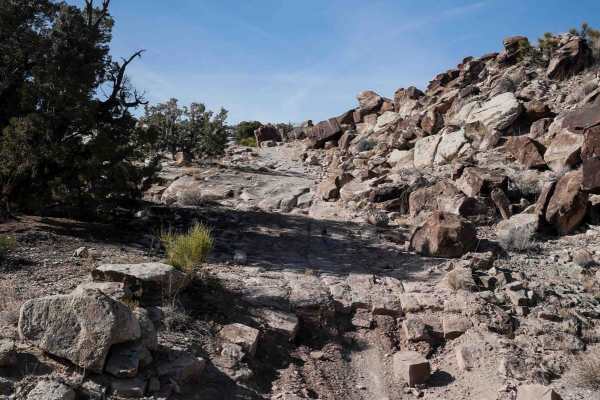
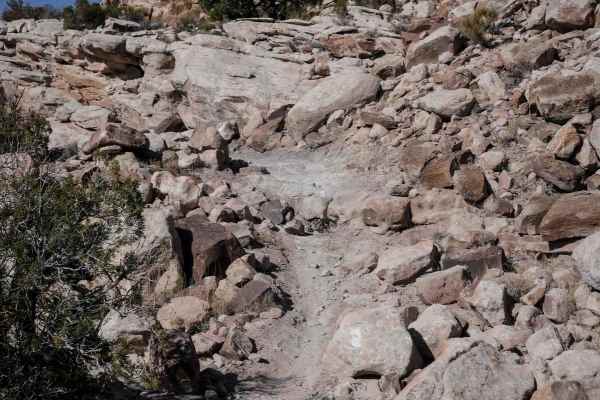
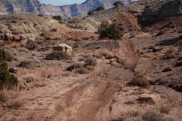
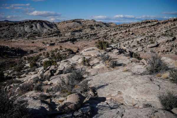
The 6 mile long Odds Trail weaves around, up and down a series of rocky mesas between giant boulders. This advanced trail has constant small ledges while it goes over tons of slickrock layers, and there are about 10+ advanced difficultly obstacles throughout the route. These obstacles include tight rock pinches and 5-6 foot tall rock ledges. The rock layers are really diagonal and off-camber across the trail, creating tricky stair steps. It has really steep and loose hills going both up and down. For example, you'll go through a tight rock pinch onto a narrow ledge, directly into an off-camber obstacle. You have to go up a tall and blunt series of ledges requiring advanced double-blip techniques. If you don't have the experience, you might be pushing and pulling bikes. There are shelfy sections of side-hilling around the edge of the mesa. At one point it drops down into a tight wash with giant boulders, and tons of loose bigger rocks. Despite the difficulty, you get a really great view the whole time, and it's super scenic through all the boulders, up on a ridgeline. This trail is definitely a highlight of visiting the Chimney Rock trail system.