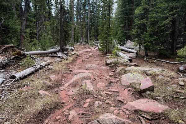
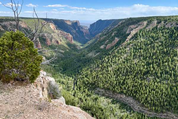
Trail Overview
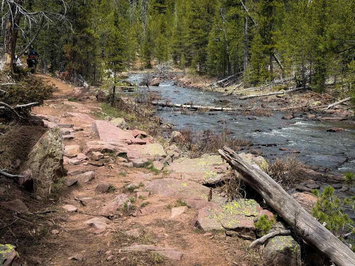
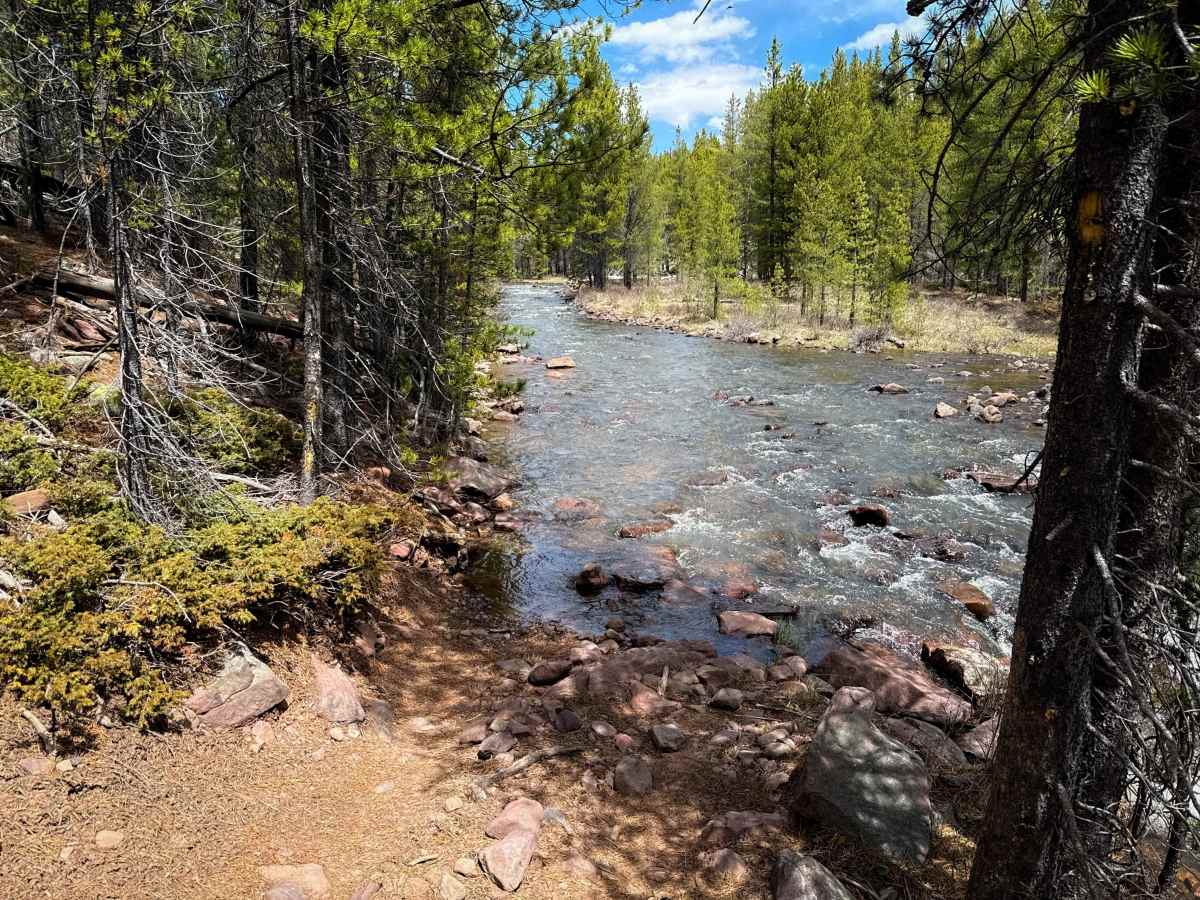
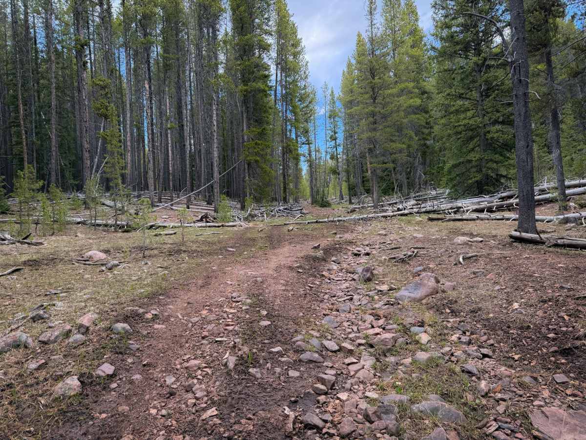
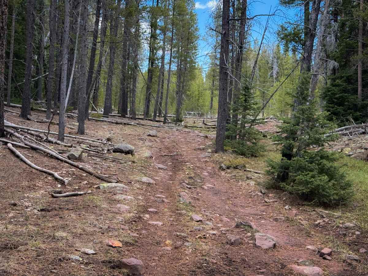
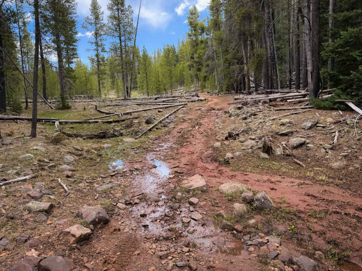
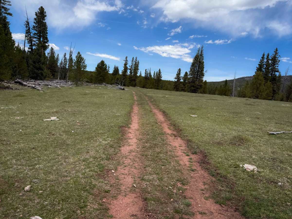
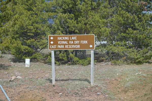
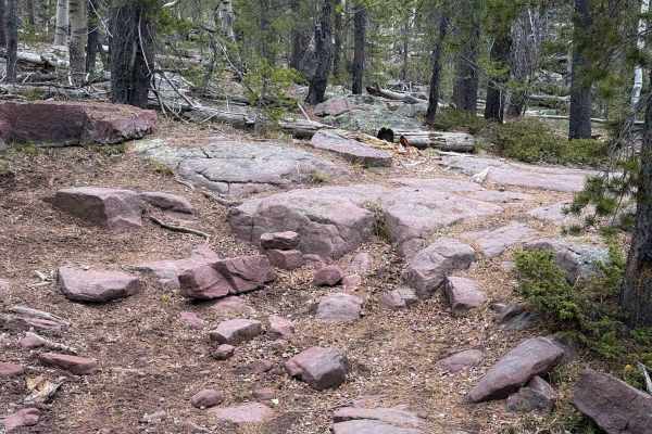
The south end of Trail 110 starts at an intersection with the Ashley Driveway ATV Trail, and it goes north through a forest of lodgepole pines, with chunky embedded rock in the trail. It’s a decently wide two-track, riding through grassy meadows, and next to the North Fork Ashley Creek. There are decent-sized ruts in the trail and muddy patches, especially in spring. The trail passes the intersection with 196 and continues north, still paralleling the creek, with standing water on the trail in sections. It is very scenic as you ride along the creek. Some sections are smoother and more flowy, and others are rockier, with a few spots more like a chunky rock garden with many embedded rock layers. At one point, the trail dips down into the creek, and although you don’t cross it to the other side, you do have to ride directly in the creek and stay on the west side of the creek to connect to the trail again. Expect other typical forest hazards such as wet roots and fallen timber, although the trail was clear of any major downfall in early spring.
Difficulty
This is a moderate ATV route due to frequent muddy water crossings through small streams and standing water, and several small rock gardens. The trail had frequent rocky surfaces, but no major rock ledges. There is a deeper creek crossing section as well.