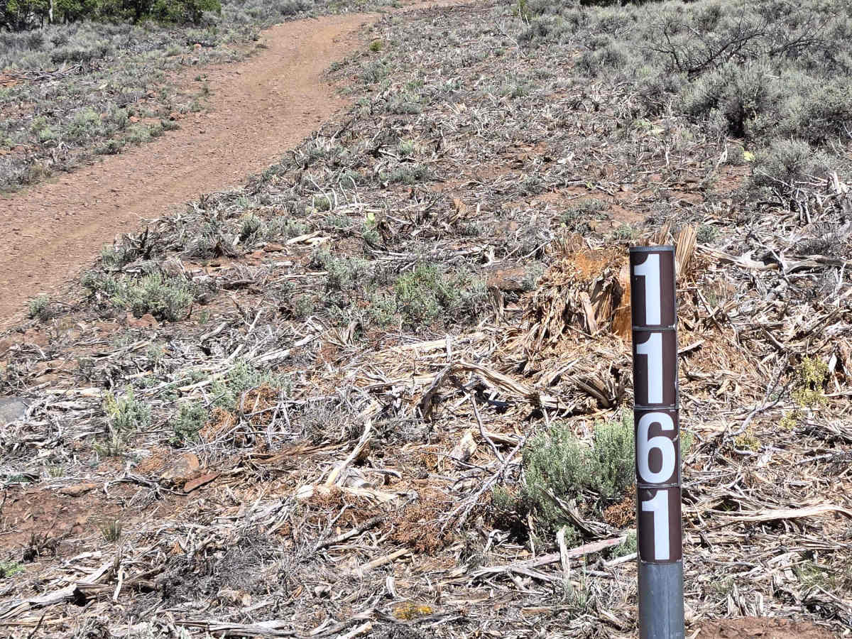
Mill Creek Trail - FS 41161

Total Miles3.5
Technical Rating
2Easy
Best TimeSpring, Summer, Fall
Trail TypeFull-Width Road
Accessible By
Open Trail Map

Trail Overview

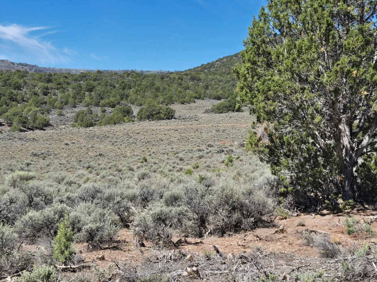
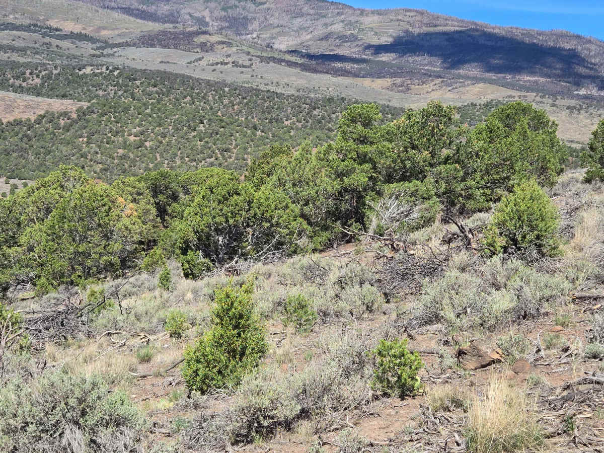
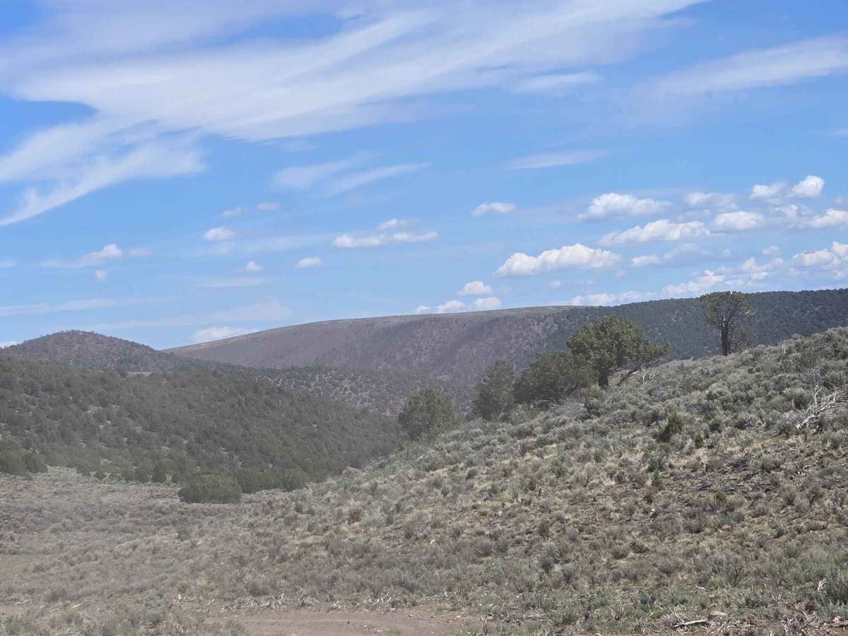
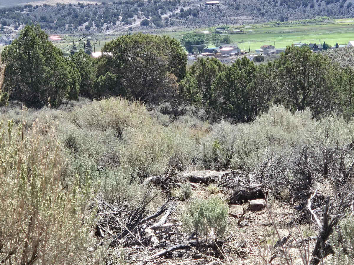
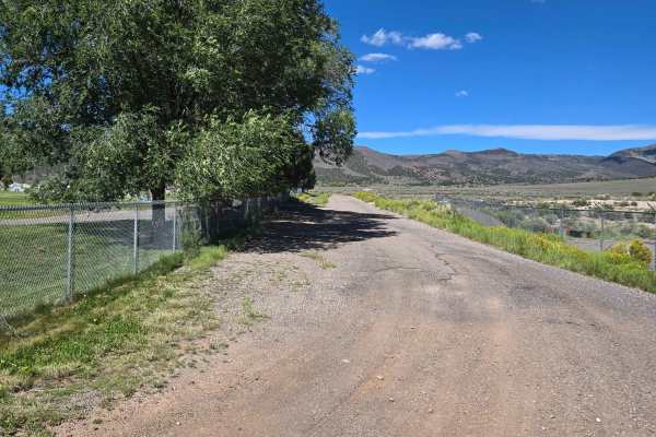
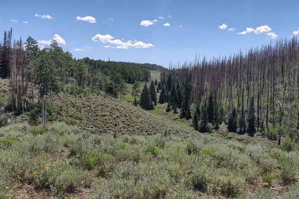
This trail follows the valley past Wood Hollow Reservoir, then turns to follow Mill Creek towards Burrville, Utah. This trail goes left at the junction with FS 1158 and travels through juniper, sage, and other native plants. You'll cross a wide wash as you head towards town. Be aware of flash flooding in monsoon season and during spring snow runoff.

Photos of Mill Creek Trail - FS 41161

Difficulty

There are no obstacles on this trail. It could be muddy with ruts during inclement weather.

Technical Rating

2

Mill Creek Trail - FS 41161 Trail can be accessed by the following ride types:

  • Single Track
  • 50 Inch
  • 60 Inch
  • High Clearance
  • Full Width

Mill Creek Trail - FS 41161 Map

The onX Offroad Difference

onX Offroad combines trail photos, descriptions, difficulty ratings, width restrictions, seasonality, and more in a user-friendly interface. Available on all devices, with offline access and full compatibility with CarPlay and Android Auto. Discover what you're missing today!

Open Trail Map