Trail Overview
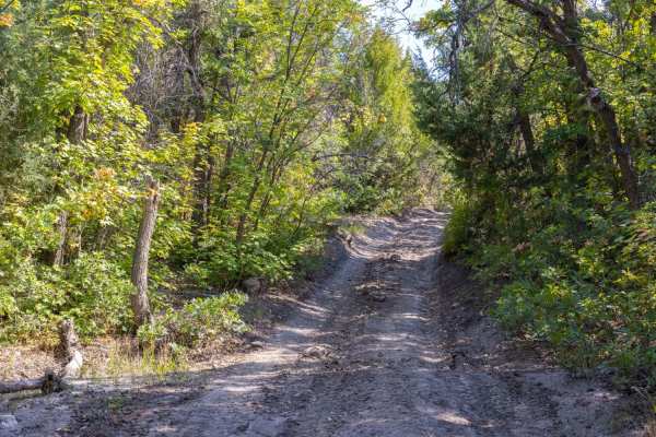
The Mayfield-Gunnison Road is an ideal scenic route for beginners, families, and offroaders looking for a relaxed climb from the valley floor into the high-alpine country of the Manti-La Sal National Forest. Stretching approximately 16.9 miles, this well-maintained two-lane gravel and dirt road begins near Mayfield at an elevation of about 5,800 feet and ascends a dramatic 4,590 feet to reach a peak elevation of over 10,130 feet. Standard four-wheel-drive vehicles, SUVs, and SxSs can easily navigate the mild terrain, which features a low technical rating of 2 but does present some steep grades as the road winds upward. Pine, aspen, and cedar trees flank the route, giving way to sweeping mountain vistas that are particularly vibrant during the summer and autumn months.
Along the drive, travelers will find numerous primitive camping spots with several Forest Service-maintained vault toilets, making it an excellent base camp for extended stays. The area is rich in wildlife, so keep an eye out for elk, deer, bear, and cougar moving through the mountain brush and high meadows. While the primary surface is composed of graded gravel and dirt, inclement weather can create shallow water crossings and slick spots, requiring extra caution. The route tops out near the famous Skyline Drive on the Wasatch Plateau, offering direct access to additional high-elevation trails and side trips for those wishing to explore further into Utah's rugged backcountry.




 Offroad