Trail Overview
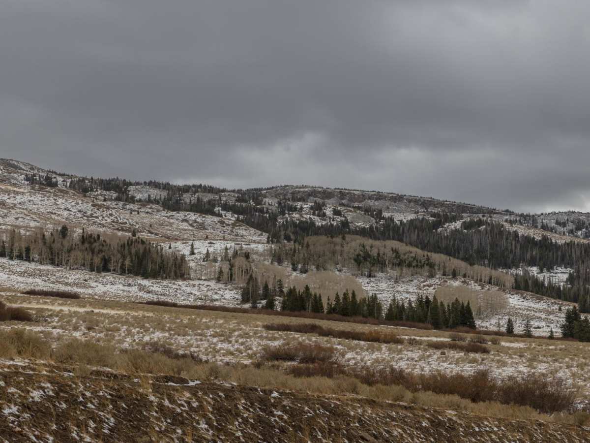
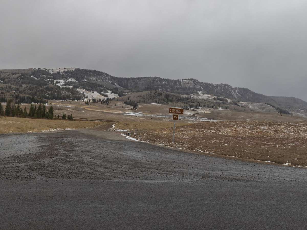
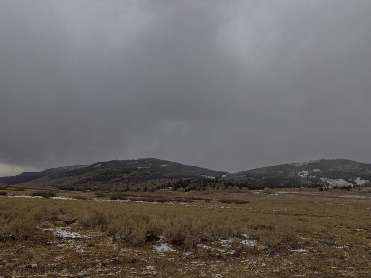
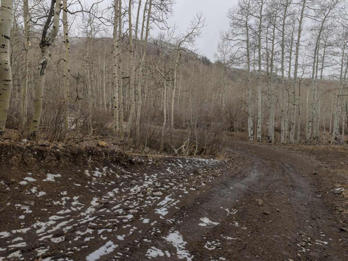
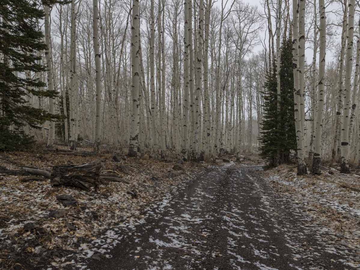
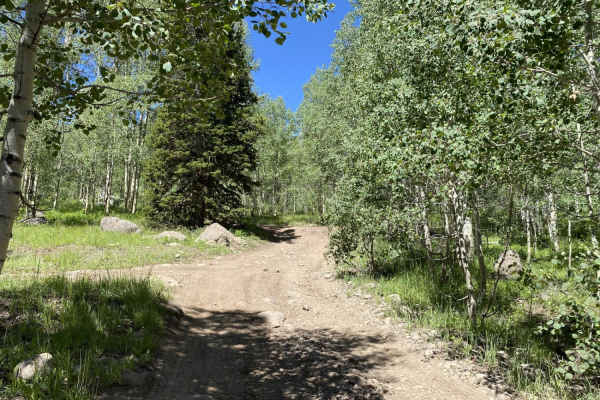
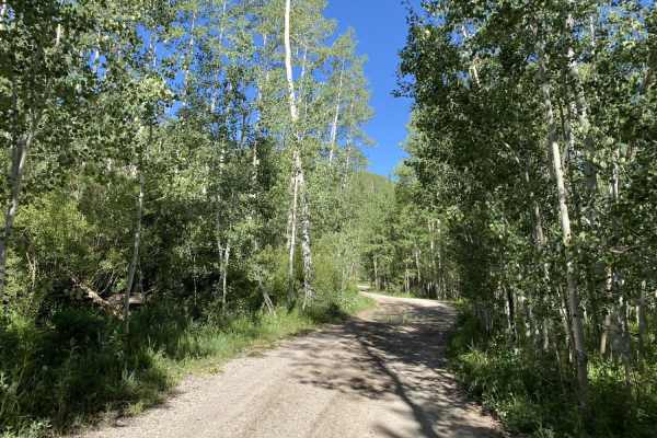
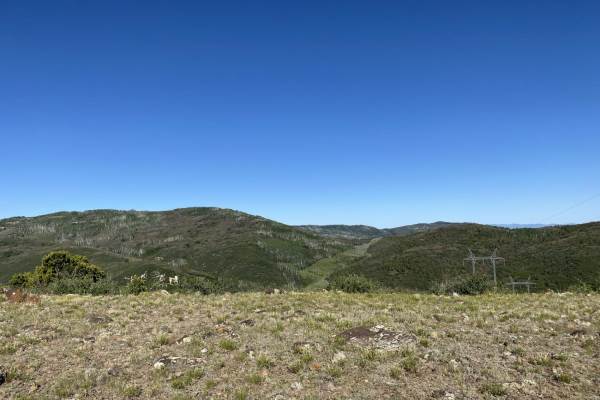
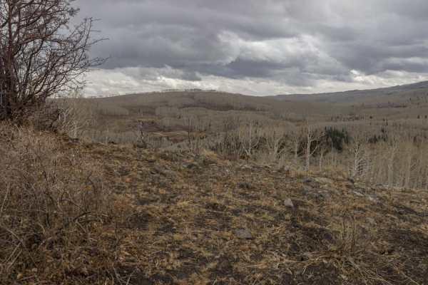
Lost Creek Road is a scenic mountain descent ideal for four-wheel-drive vehicles and SxSs seeking a remote, backcountry experience with striking elevation changes. Accessed off Gooseberry Road, this unpaved dirt route spans roughly 10.6 miles, starting at a high point of 9,793 feet and winding down to 7,048 feet. Along this steady descent of over 2,700 feet, travelers will journey through a varied landscape of quaking aspen groves, scrub oak, open grasses, and sagebrush. This route holds a technical rating of 4 due to its unmaintained, native dirt surface, which features minor ruts, rocks, and potentially muddy sections, especially after rain or snowmelt.
High-clearance four-wheel-drive vehicles or capable SxSs are recommended to safely navigate the occasionally rough terrain and changing weather conditions. Wildlife viewing is a major highlight, as the surrounding canyon frequently harbors mule deer, elk, coyotes, wild turkeys, and occasionally mountain lions. Several dispersed, unmaintained camping spots are scattered along the road, making it a great destination for multi-day overland adventures. It is best to avoid this route during or immediately following heavy storms, as the clay-heavy dirt can quickly become extremely slick and impassable.