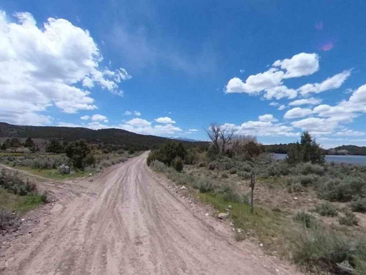
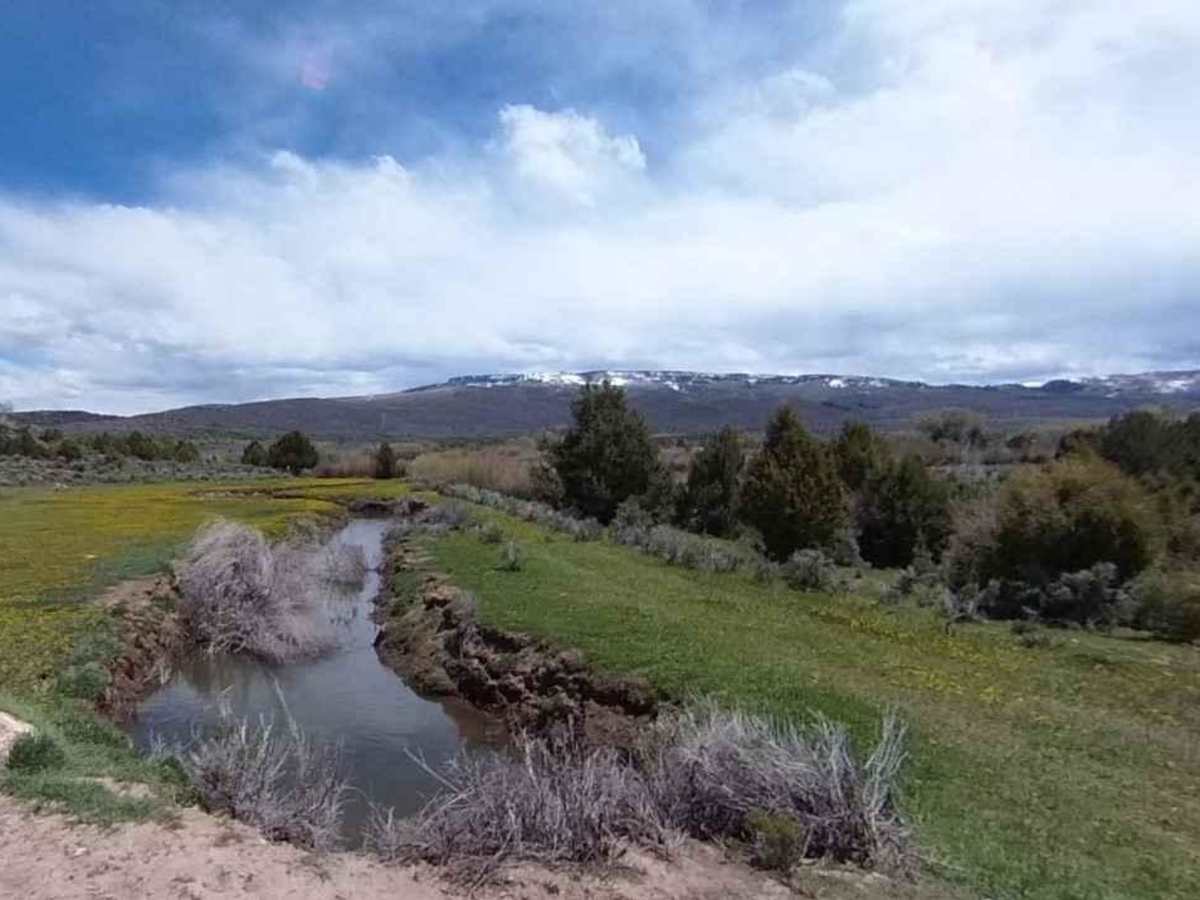
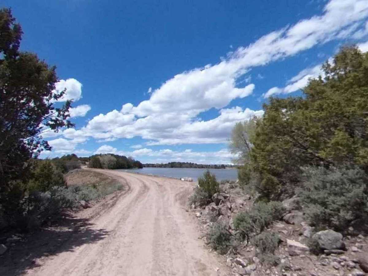
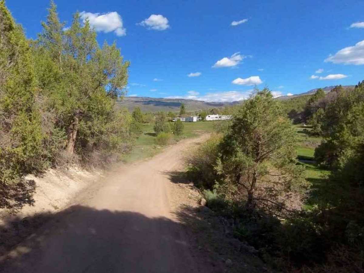
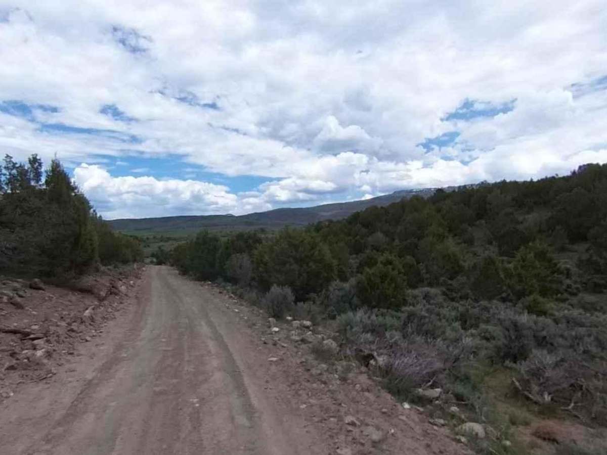
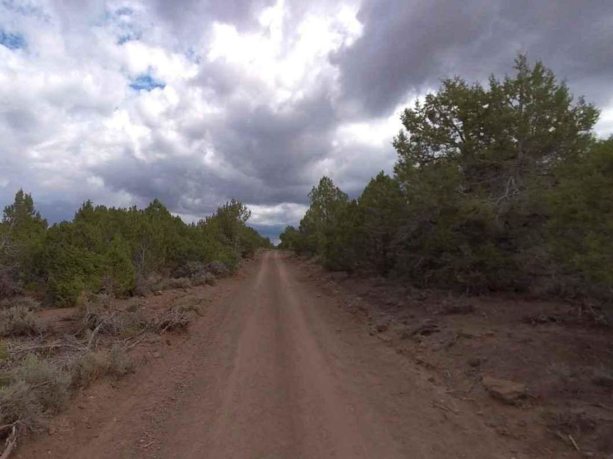
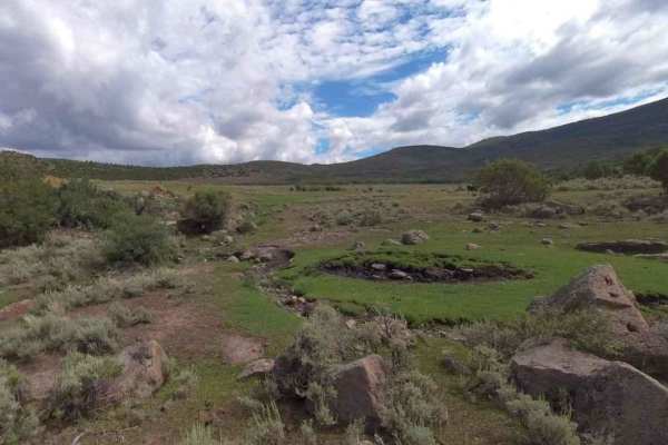
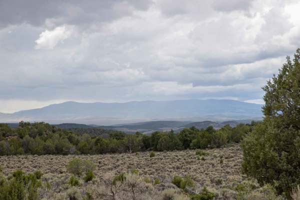
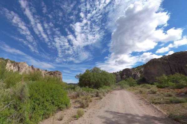
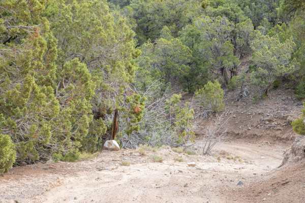
Trail Overview
Lost Creek Rex Reservoir is a 5.4-mile point-to-point trail rated 2 of 10 located in Sevier County and within the Fishlake National Forest, Richfield Ranger District. Little Lost Creek is a graded, intermittently maintained forest road that is also a portion of Paiute ATV Trail Network (Trail #1). The NFS has declared this as a local trail. It is a single lane that generally allows for two-way traffic. Any high-clearance 2 or 4WD vehicle should have no issues on this trail. The trail provides access to the south side of the Rex Reservoir which is popular with campers and fishers. There are multiple dispersed campsites around the reservoir. This trail is part of a local 58-mile loop known as Lost Creek-Rose Meadow which includes Lost Creek, Rose Meadow, Lost Creek Rex Reservoir, Tech Flat Road, and Scorups Meadow Road. The entire loop takes about 5-hours to complete. There are several side forest roads that cut across the area. Dispersed camping is allowed, and motor vehicle use off of designated roads and trails for the purpose of dispersed camping is permitted in Fishlake National Forest up to 150 feet from the centerline of the road or trail for the period year-round. Much of the Fishlake National Forest is remote. medical assistance may not be readily available. Cellular telephones do not work in many areas of the Fishlake National Forest. The nearest services are located to the west in Richfield.