Trail Overview
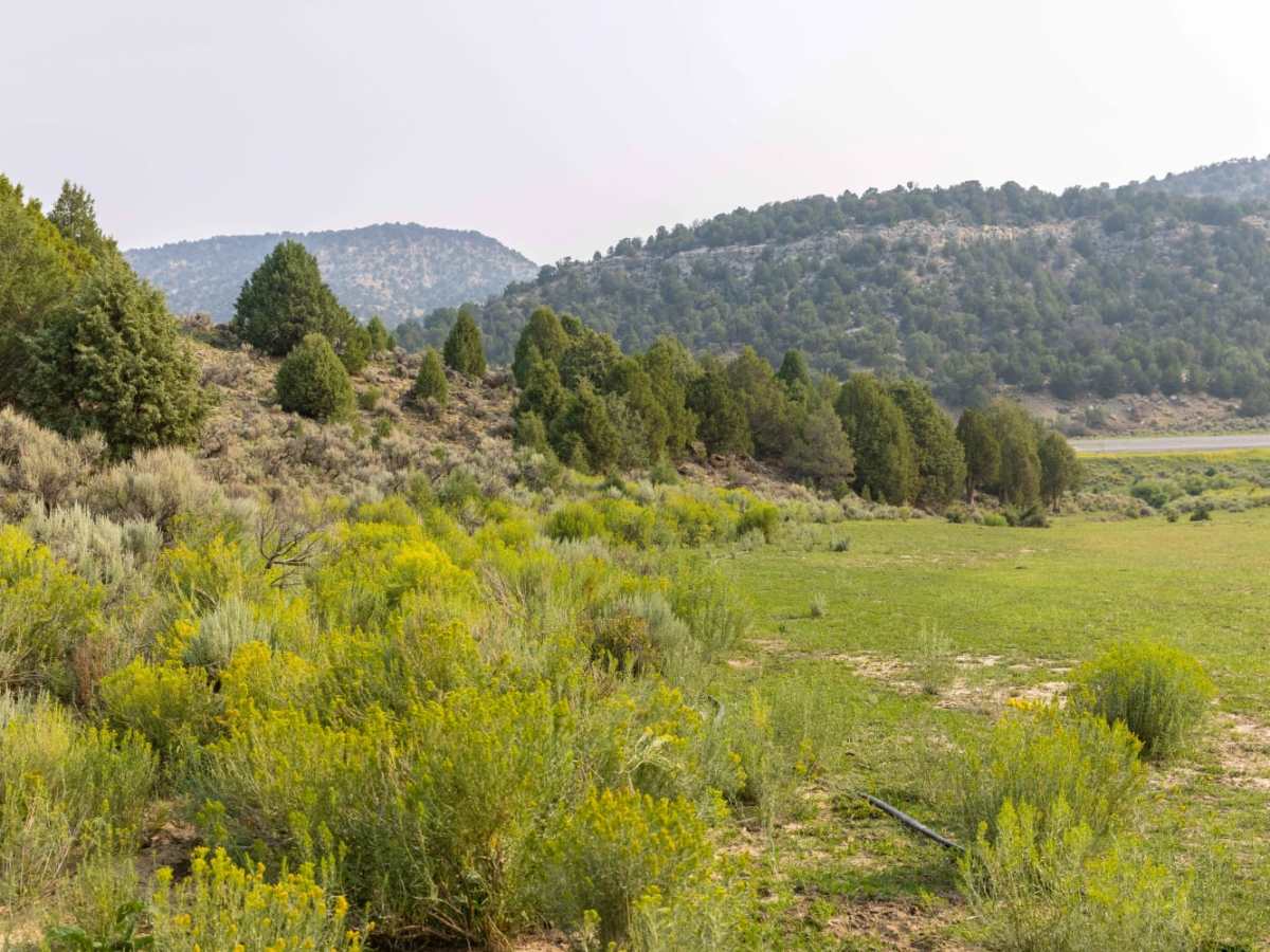
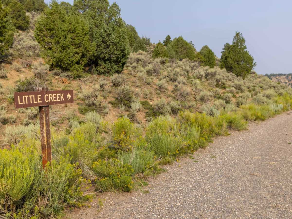
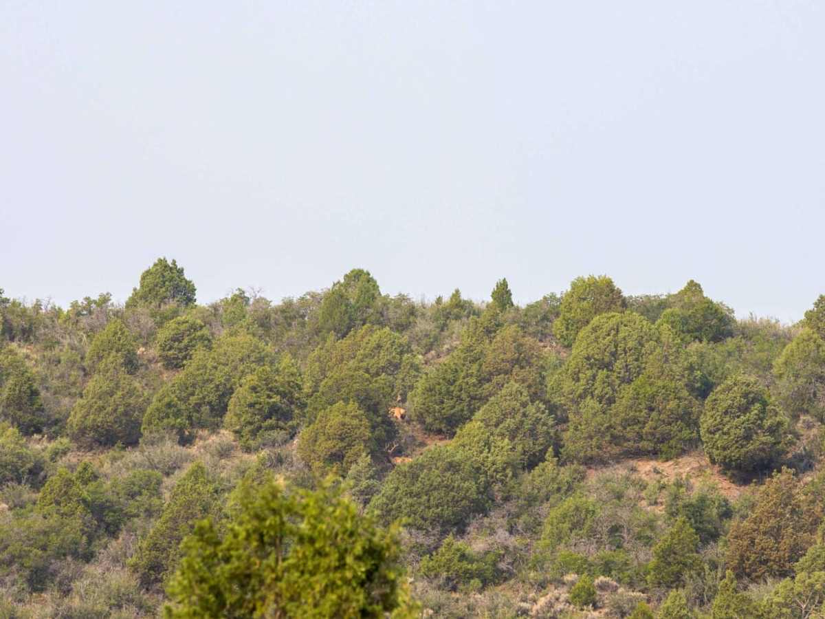
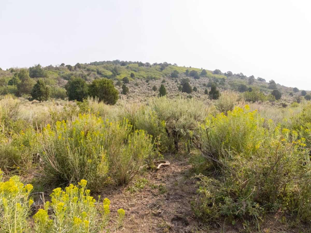
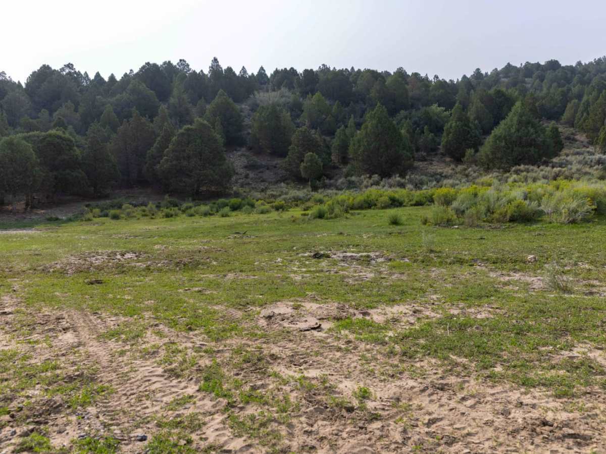
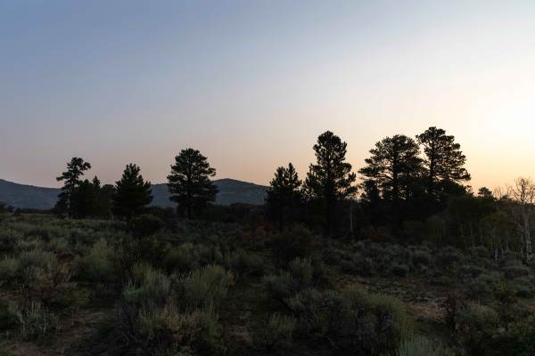
Little Creek offers an inviting and scenic route tailored specifically for riders of ATVs and SxSs 50 inches or narrower, serving as an ideal gateway to the expansive high-country terrain. Starting from a beautiful green meadow at the north end of Little Creek draw, which is easily accessible to all vehicles from the south side of the Interstate 70 frontage road, this trail heads south along the valley floor. The path rises slowly through a scenic landscape dominated by sagebrush, cedar trees, and lush mountain grasses. As a popular corridor for big game hunters and wilderness campers, the route frequently offers sightings of local wildlife, including deer, elk, and coyotes, making it a peaceful retreat for outdoor enthusiasts.
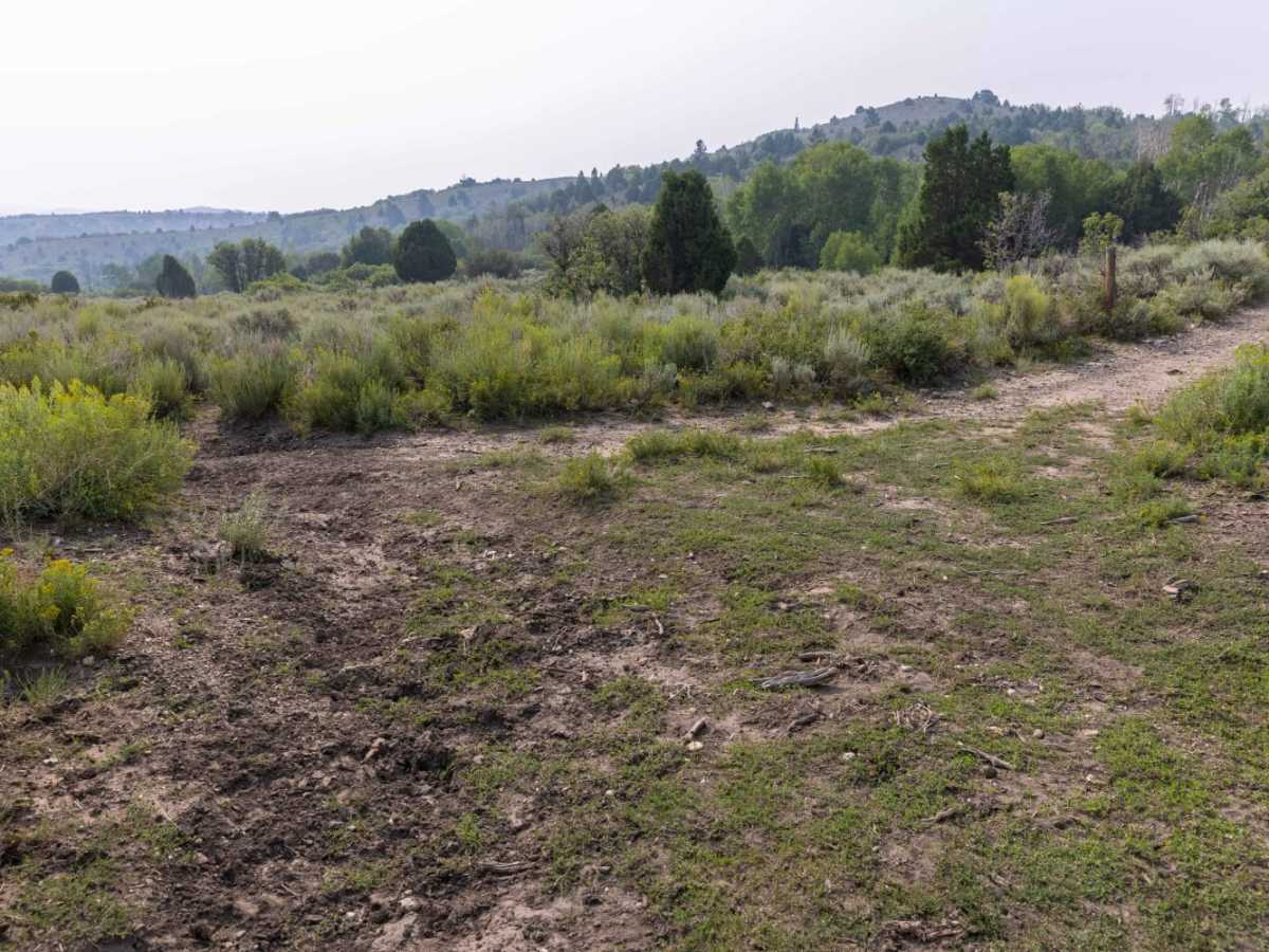
Spanning approximately 1.9 miles with a steady elevation gain of around 573 feet, the trail reaches a maximum elevation of 8,110 feet before connecting with the Meadow Gulch trail. This route is rated a technical difficulty of 3, featuring a mostly dirt surface that is generally straightforward but can quickly become slick and deeply rutted following heavy rainstorms or winter snowmelt. Because of the 50-inch vehicle width restriction, full-sized four-wheel-drive vehicles cannot travel past the meadow staging area, though the spacious northern camping area remains fully accessible to vehicles of all sizes. The best seasons to ride are late spring through autumn, ensuring that travelers can enjoy the high-altitude terrain under optimal traction conditions.
Access Description
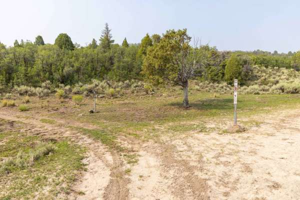
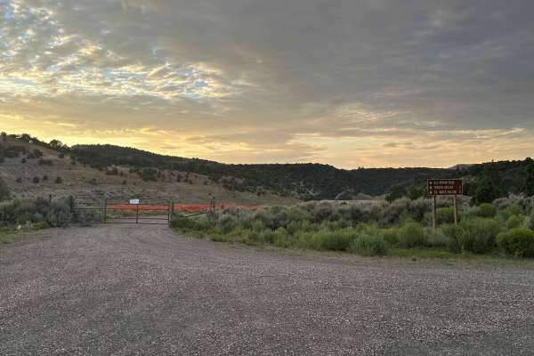
The trail heading south from the meadow has a strict width restriction of 50 inches or less, making it accessible only to ATVs, SxSs, and dirt bikes. Full-sized four-wheel-drive vehicles are restricted to the northern meadow and staging areas. There are no fees or permits required to access the route, but seasonal closures may occur due to winter snow or heavy mud.