Trail Overview
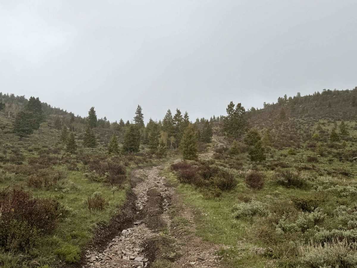
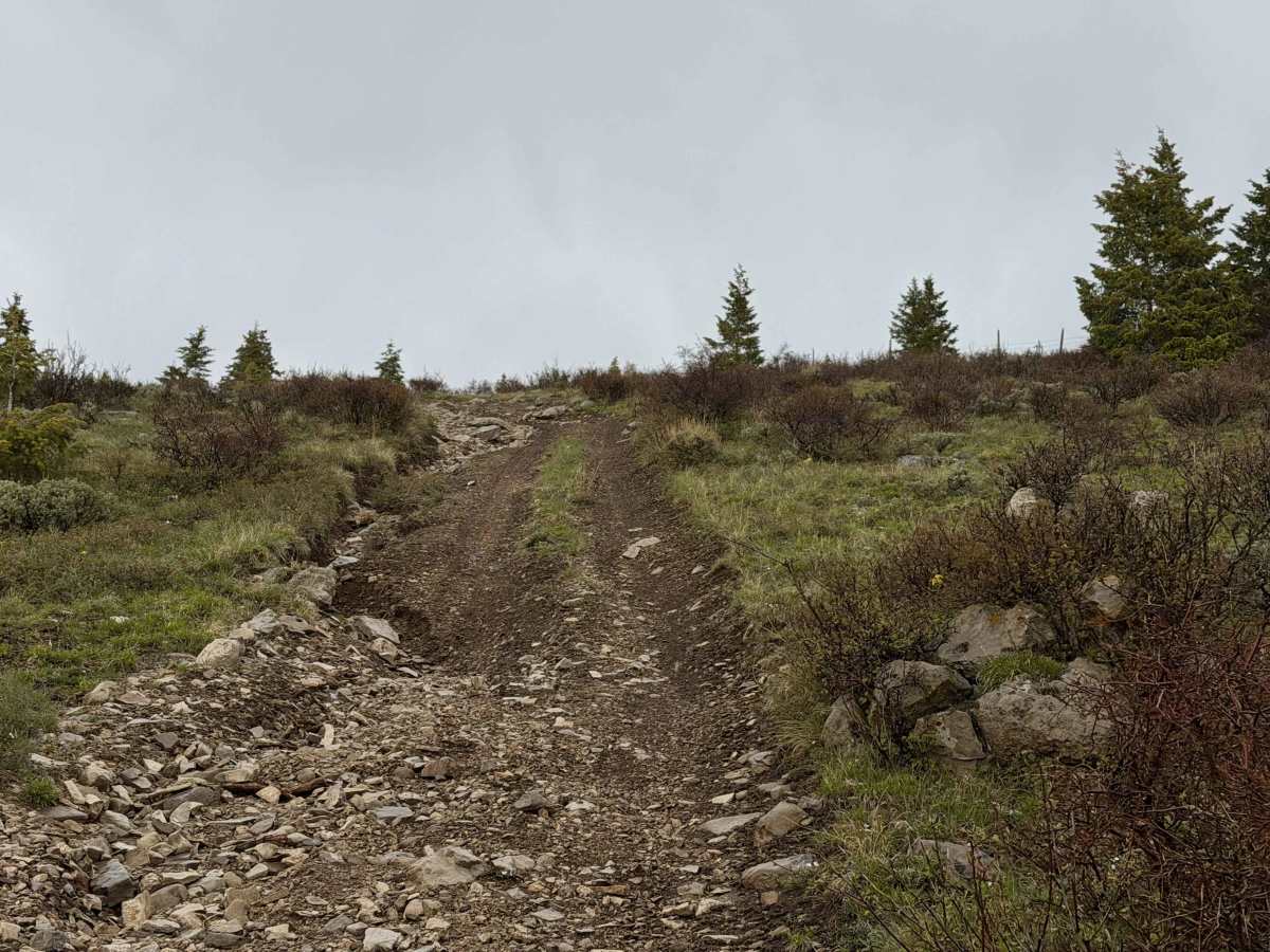
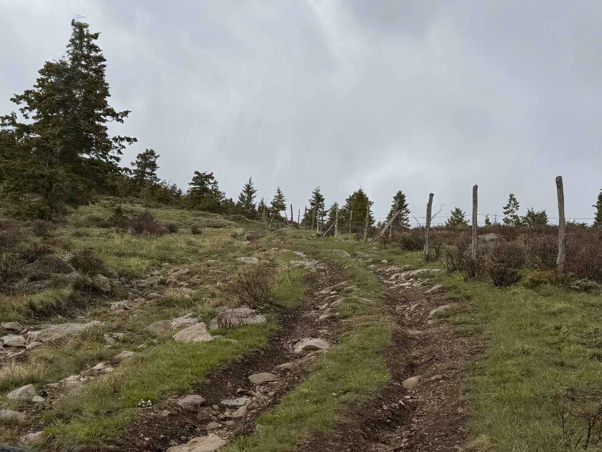
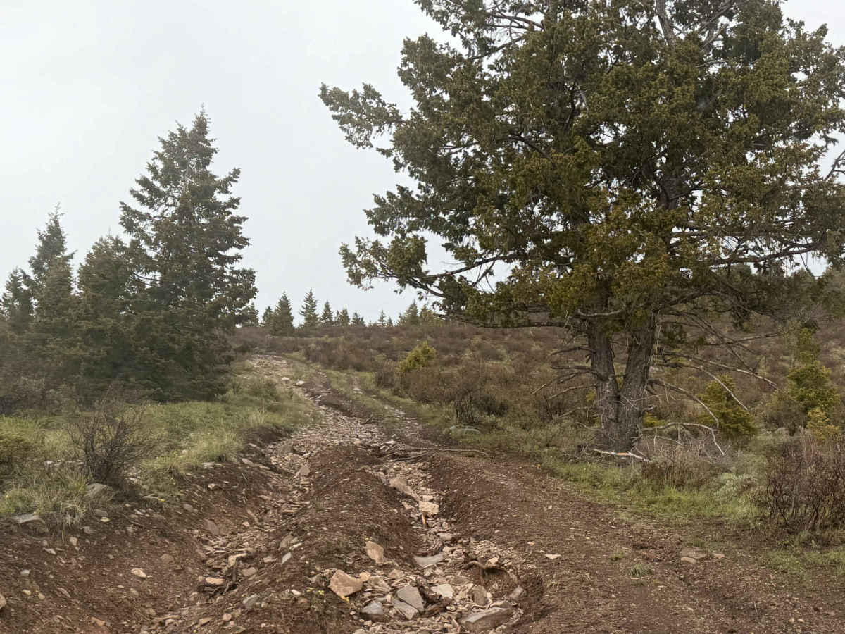
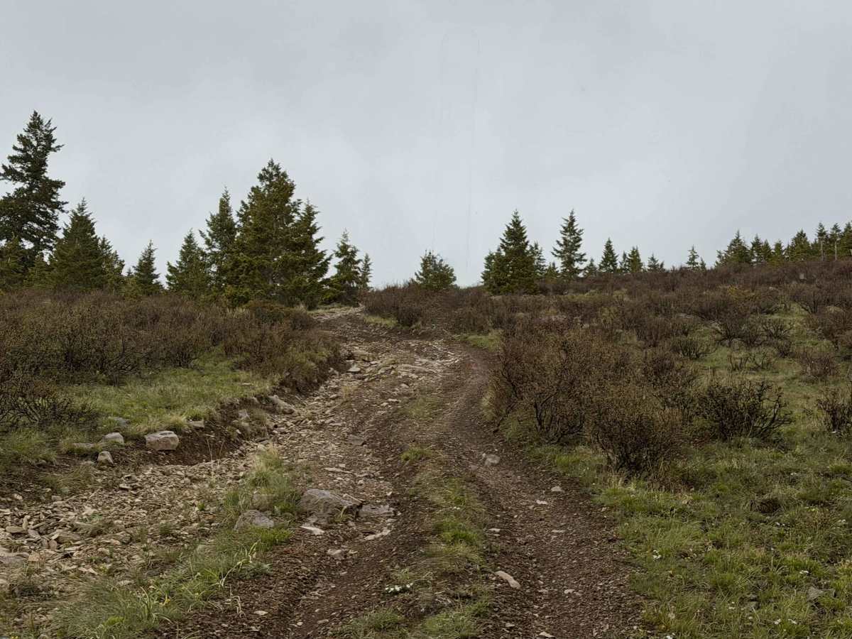
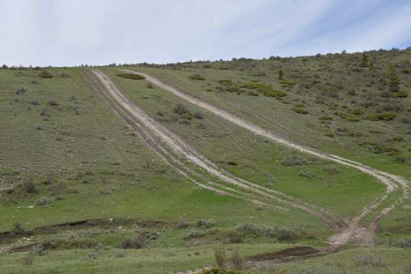
Limestone is an out-and-back trail on the very eastern edge of the Ashley National Forest with a difficulty rating of 4/10. It stretches 1.8 miles each way, gaining 1,100 feet on the outbound climb and descending on the return. The surface is a mix of soft forest soil and rocks, making it essentially a loose hill climb. The trail is only one lane wide, with limited passing opportunities once committed, due to being bordered by a fenceline marking the forest’s eastern edge on one side and a high-banked, washed-out ditch on the other. Shortly after starting, the trail drops to the edge of a pond, followed by a sharp off-camber right turn that’s slick and can slide you toward a large ditch. From there, hill climb #1 is steep and rocky, then the path briefly levels before hill climb #2 to the summit, which is even steeper and rockier. Near the top, the trail squeezes between tightly spaced pines, guaranteeing some pinstriping for larger vehicles.
Difficulty
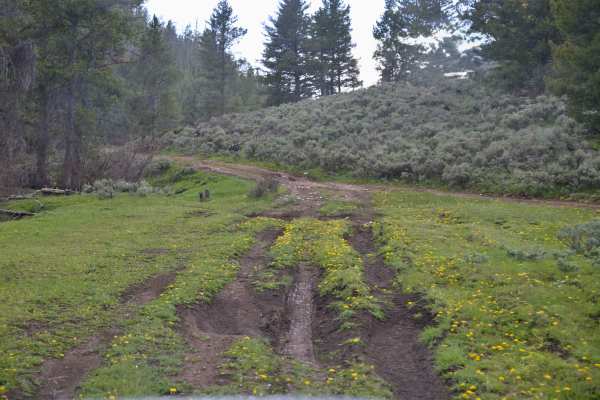
Rated for its deep ruts and large rocks in the trail. Due to its nature, 4WD is recommended to allow a controlled climb and descent. With precipitation, the soil here becomes extremely slippery, affording little traction and will pack tire tread.