Trail Overview
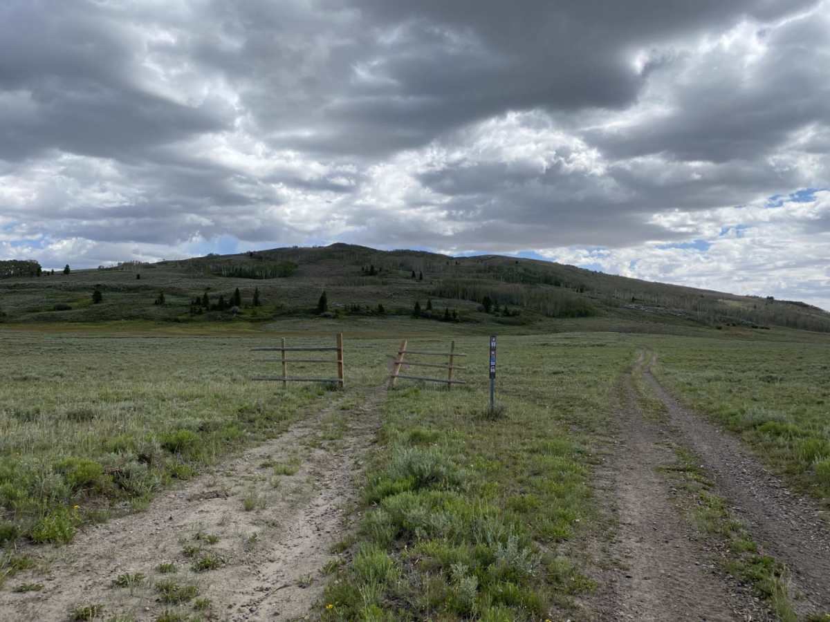
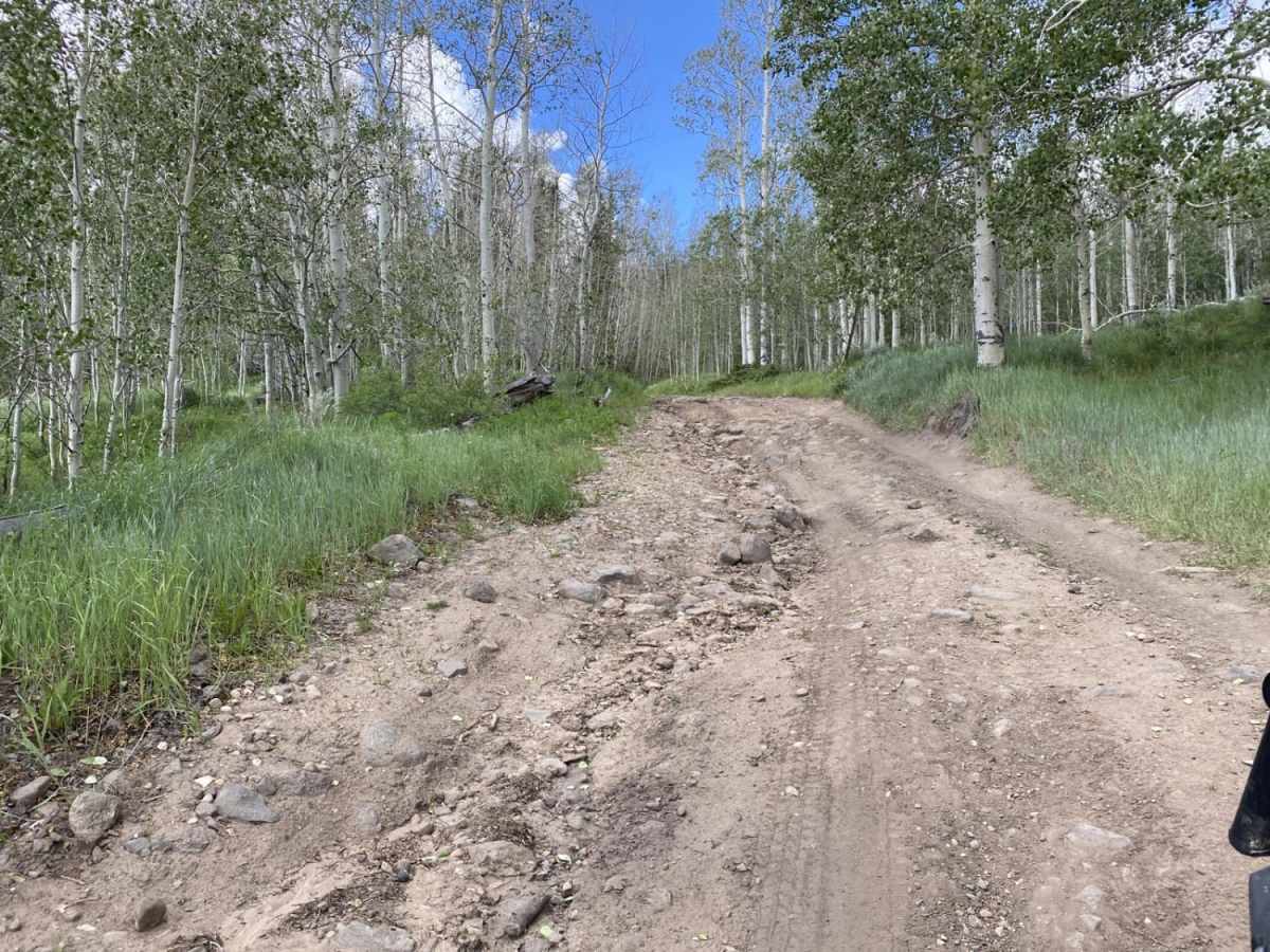
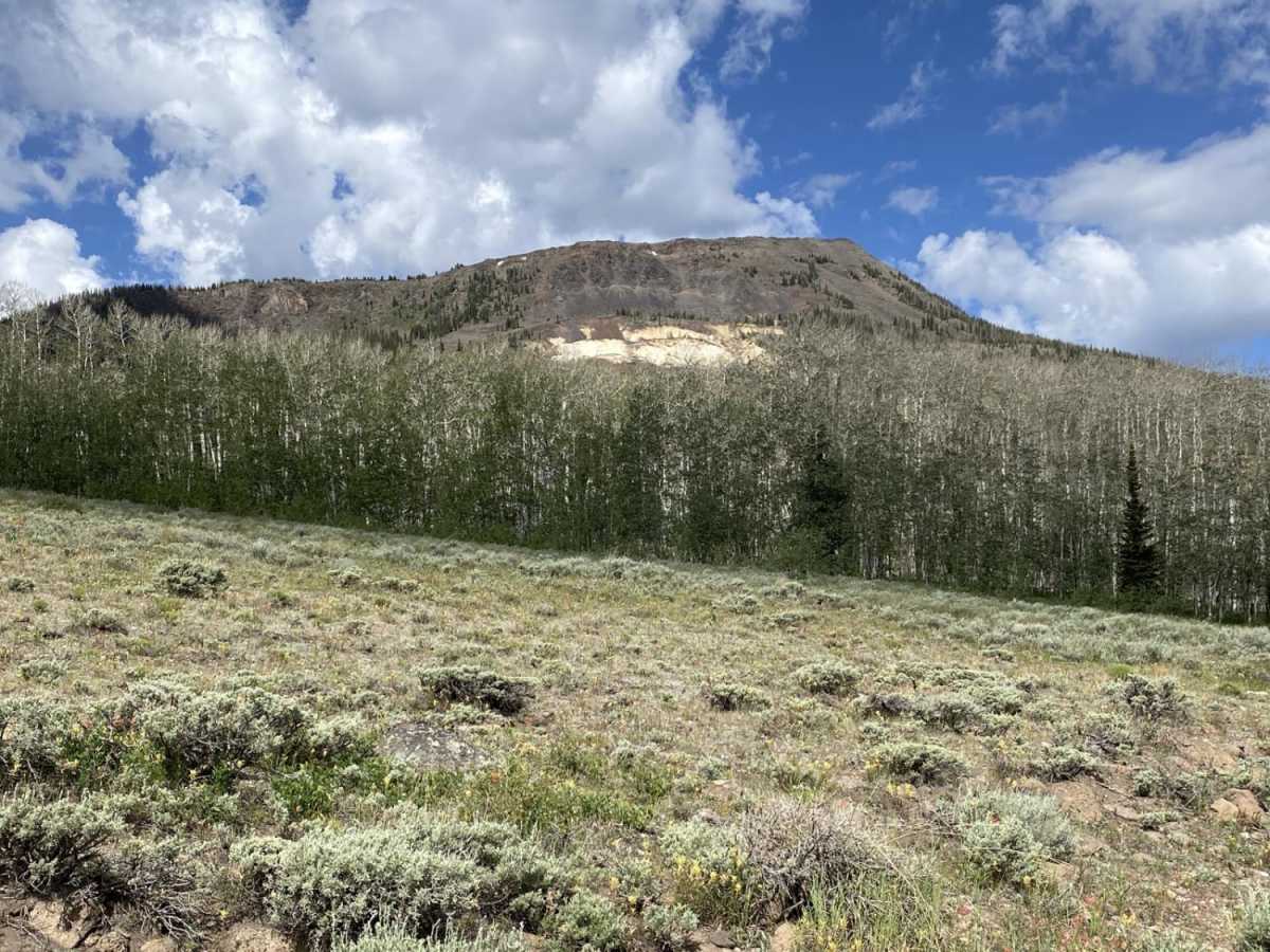
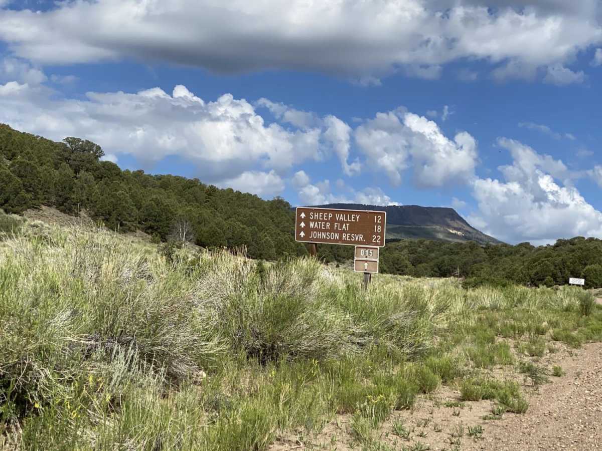
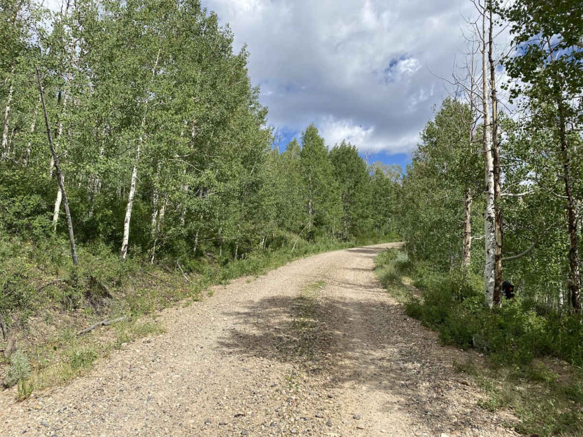
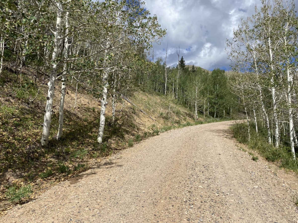
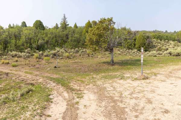
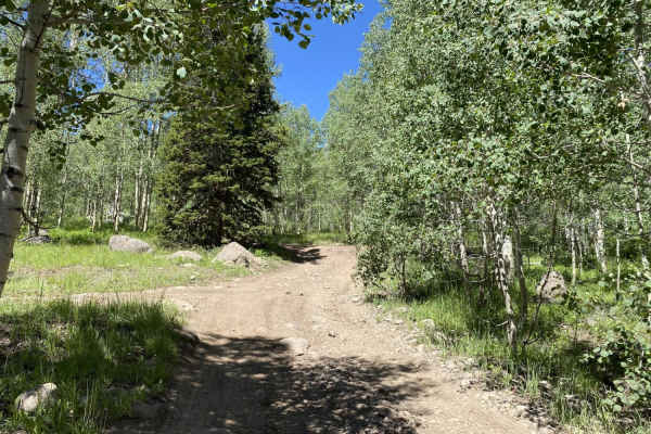
Last Chance Road is a high-elevation dirt track to tow camp trailers into the backcountry of Fishlake National Forest. Stretching roughly 12 miles from Highway 72 in the east to Sheep Valley in the west, this route climbs to over 10,100 feet as it winds through picturesque grassy meadows and vibrant stands of quaking aspen. The eastern section is well-maintained, wide enough for oncoming vehicles to pass safely, and highly accessible, offering numerous dispersed camping sites for those looking to set up a basecamp. As you travel westward, the trail winds beneath the impressive peaks of Hilgard Mountain and Middle Mountain, providing sweeping alpine views and a peaceful, remote atmosphere.
With a low technical rating of 2, the trail is suitable for most high-clearance vehicles and stock SUVs under dry conditions. While the road is generally straightforward and composed of dirt, rain or snow can quickly turn the surface slick and muddy, making seasonal awareness essential. The surrounding area offers multiple opportunities for side trips, hiking, and exploring adjacent forest roads, making it an excellent connector route or a standalone weekend escape for outdoor enthusiasts.