Kane Hollow - FS 10249

Total Miles1.6
Technical Rating
2Easy
Best TimeSummer, Fall
Trail TypeFull-Width Road
Accessible By
Open Trail Map

Trail Overview

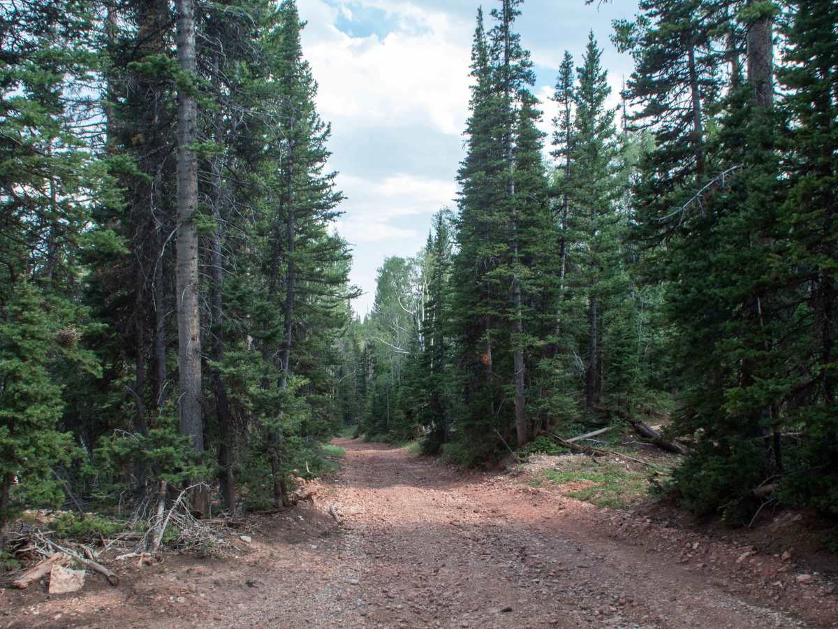
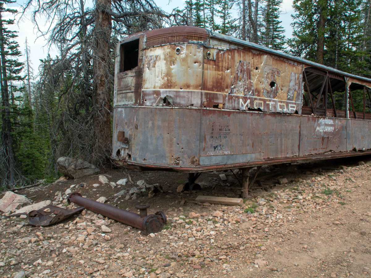
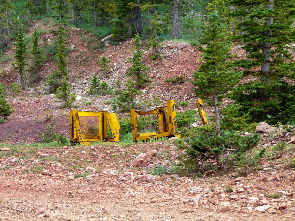
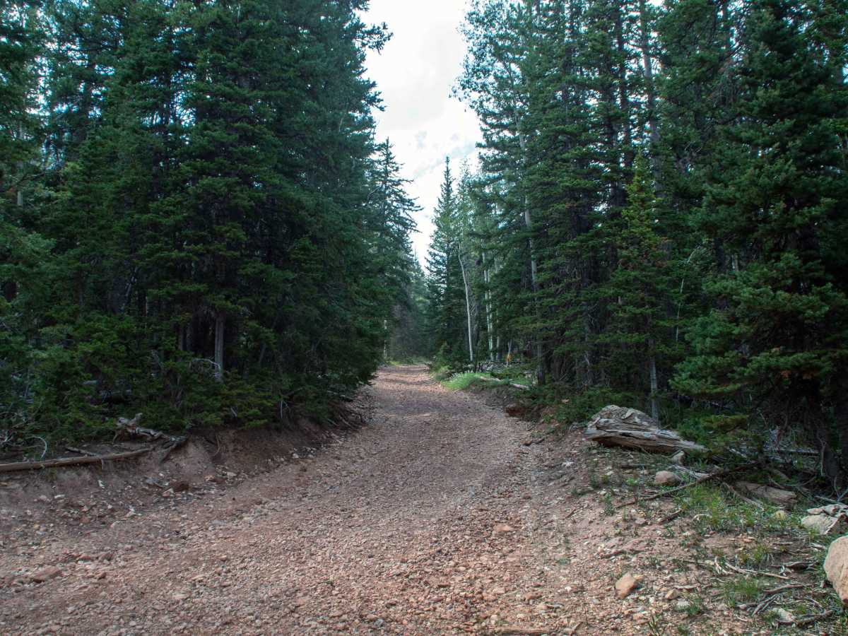
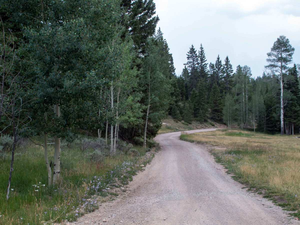
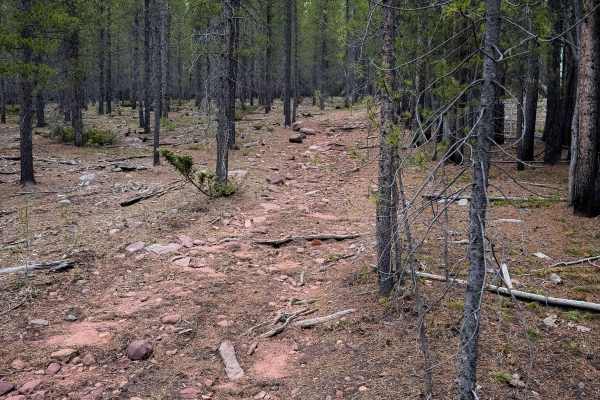
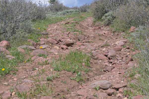
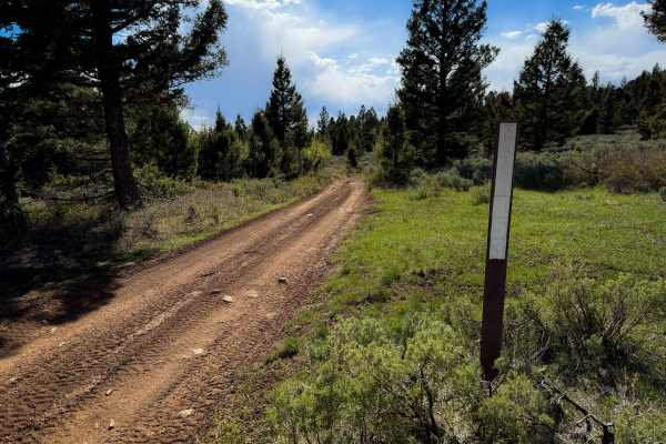
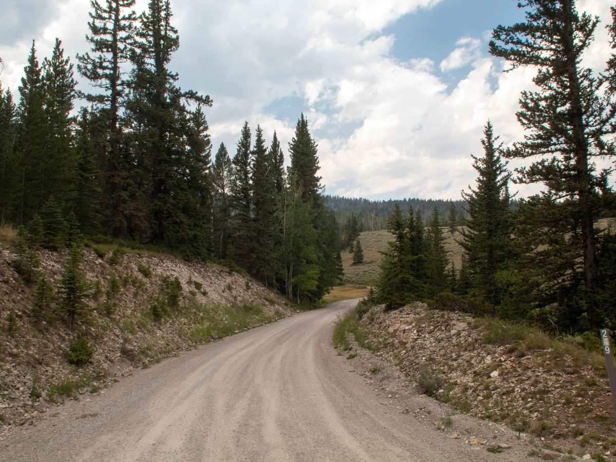
This trail is a short trail that heads up the mountain a ways to the historic Dyer Mine. This trail is easy, as it starts as a well-maintained gravel road before transitioning to a natural base with small, loose rock covering the trail. This trail stays in the trees as it climbs to the mine before it opens up to the mine, where the trail ends at a parking area next to the old rail car at the mine, with there also being additional parking just a little before the rail car, up the hill from an abandoned motor vehicle. Past the parking area, there is a trail that continues and heads over the mountain to Anderson Creek near the smelter, but it becomes rocky and rough, with a large boulder field to cross on the trail. This trail is open to all vehicles year-round and has no seasonal closure date, but is inaccessible due to deep snow during the winter and spring months.

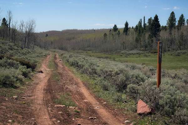
Photos of Kane Hollow - FS 10249

Difficulty

There are no major obstacles along this trail, with only a few small ruts and smaller rocks embedded in the road.

Technical Rating

2

Kane Hollow - FS 10249 Trail can be accessed by the following ride types:

  • Single Track
  • 50 Inch
  • 60 Inch
  • High Clearance
  • Full Width

Kane Hollow - FS 10249 Map

The onX Offroad Difference

onX Offroad combines trail photos, descriptions, difficulty ratings, width restrictions, seasonality, and more in a user-friendly interface. Available on all devices, with offline access and full compatibility with CarPlay and Android Auto. Discover what you're missing today!

Open Trail Map