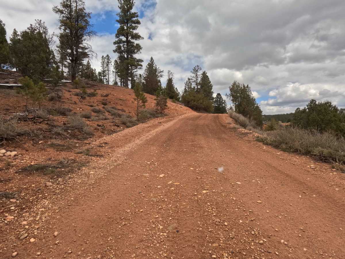
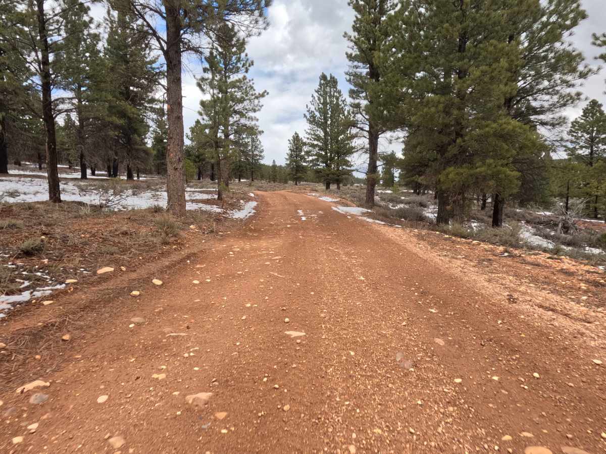
Trail Overview
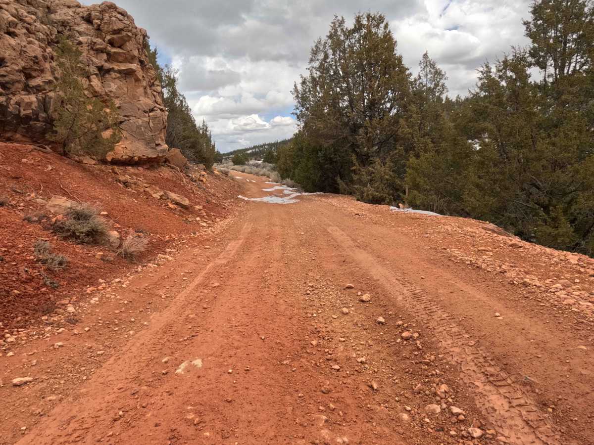
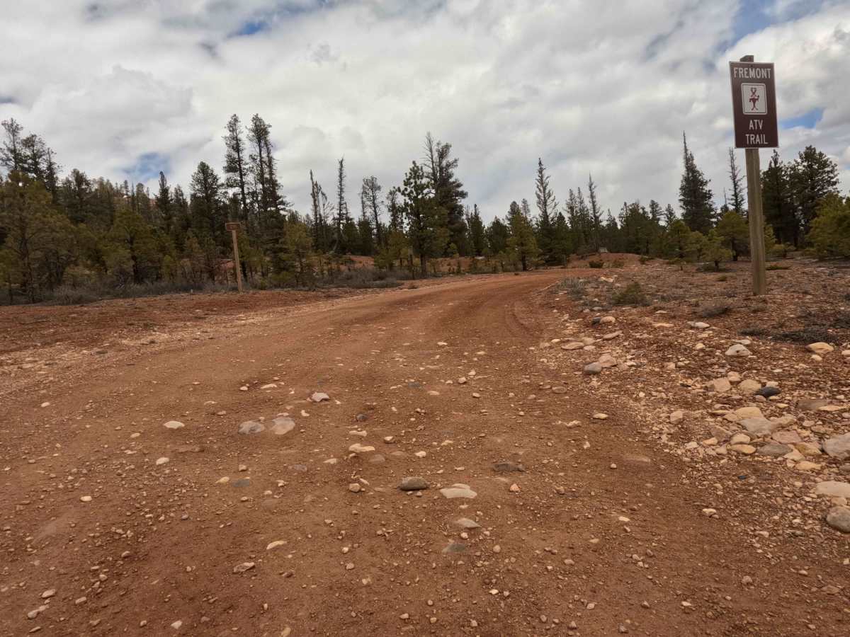
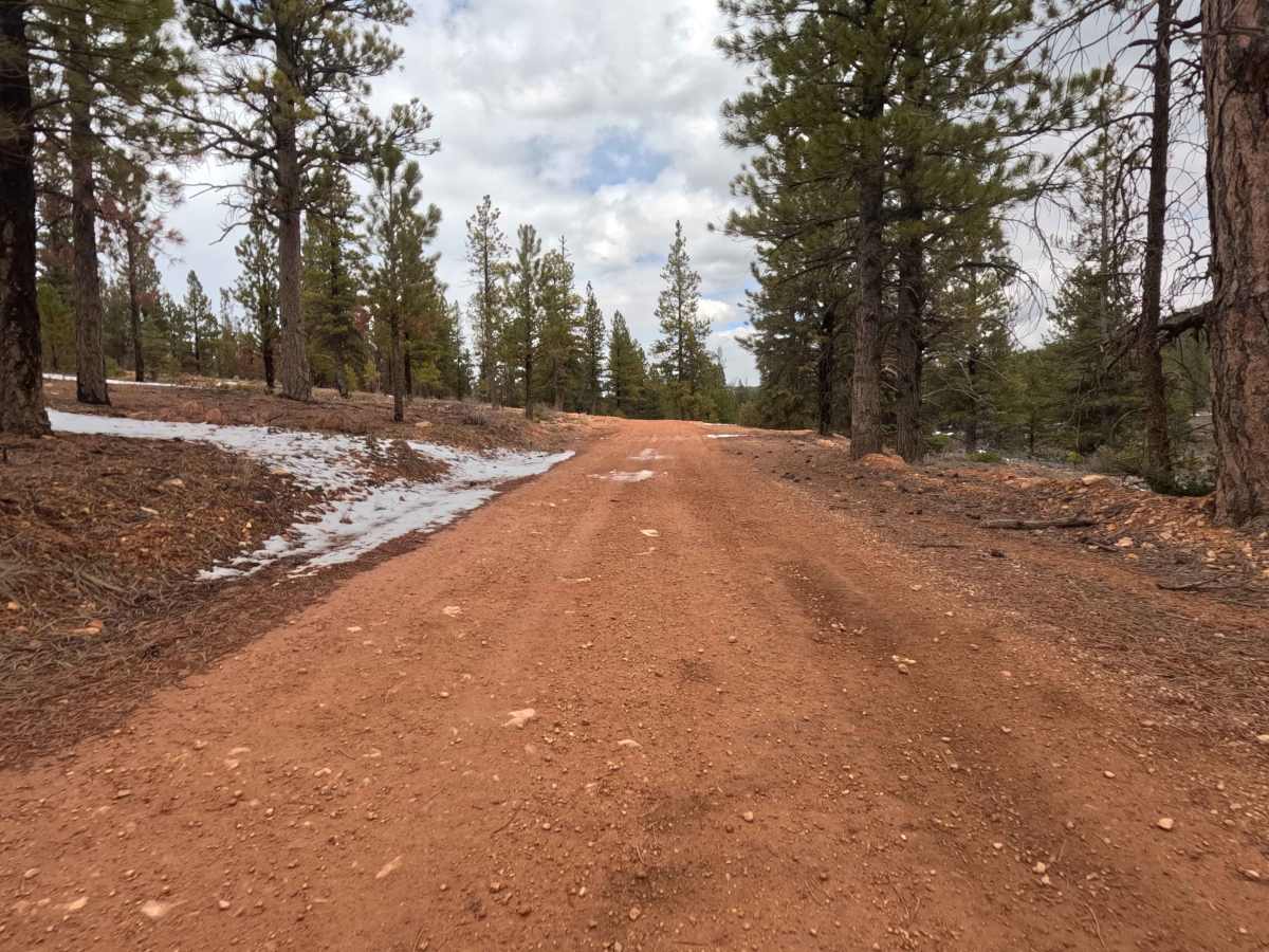
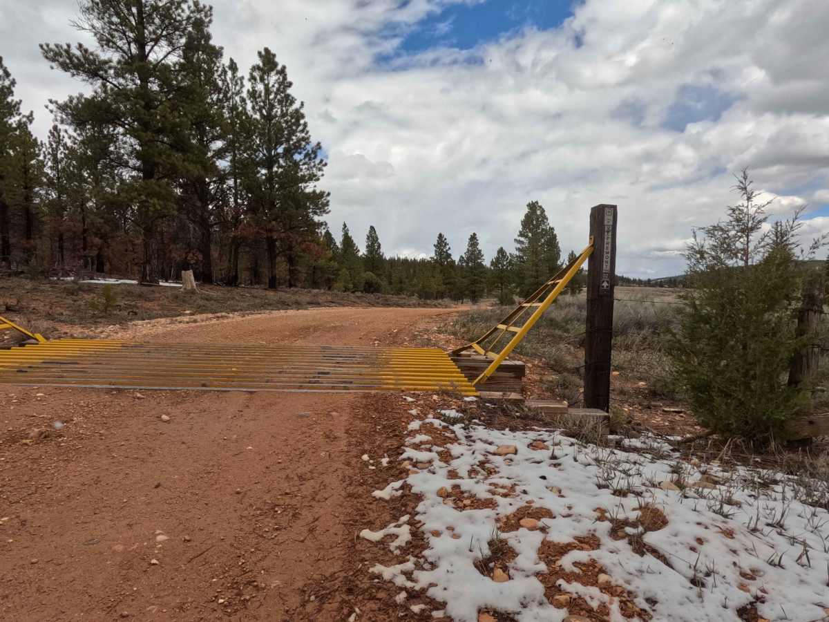
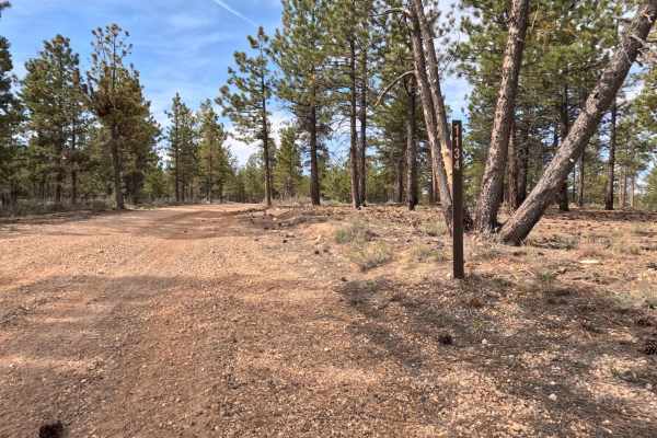
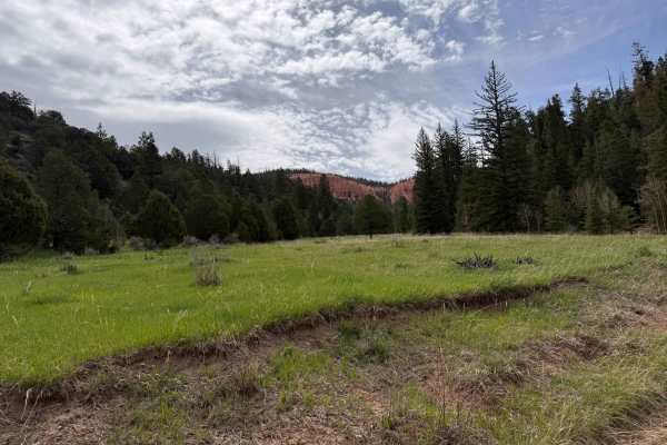
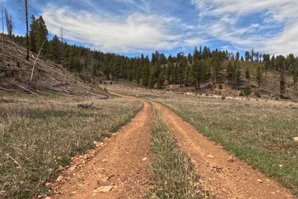
The Fremont ATV Trail, officially designated as Forest Service road 33002 (091), is a strikingly beautiful, single-lane red rock forest service road. Despite its prominent signage stating it as an ATV route, this 7.89-mile track is listed as accessible by all vehicle types on the Dixie National Forest MVUM. The scenic drive takes explorers through a diverse high-elevation landscape, featuring lush, towering pine forests and open, sweeping meadows beneath dramatic, clouded skies. One of the most unique and sobering aspects of this route is its path along the boundary of a historic wildfire—the 2025 France Canyon fire; drivers will travel through a stark, contrasting landscape where the charred, blackened remnants of the burned forest stand immediately adjacent to the healthy, untouched tree line. Along the journey, you will encounter distinct rocky outcroppings bordering the track, as well as clear wooden trail intersection markers—such as the junction for Blue Fly Creek—to help navigate the broader network. During the spring shoulder season, be prepared for beautiful but potentially slick patches of snow clinging to the center track and edges of the vivid red dirt.
Difficulty
This route firmly earns an Easy Level 2 technical rating. The primary challenges on this single-lane forest service road are occasional, uneven erosion ruts carved into the red dirt. While it is officially signed as an ATV trail, the Dixie National Forest MVUM lists this as accessible by all vehicle types. Under standard dry summer conditions, a high-clearance 2WD vehicle or stock AWD crossover can easily navigate these ruts with careful tire placement. However, drivers visiting during the early spring or late fall should exercise appropriate caution; lingering snow down the center of the track and resulting muddy, slick conditions make AWD or true 4WD highly recommended to maintain traction and avoid sliding laterally into the uneven shoulders.