Trail Overview
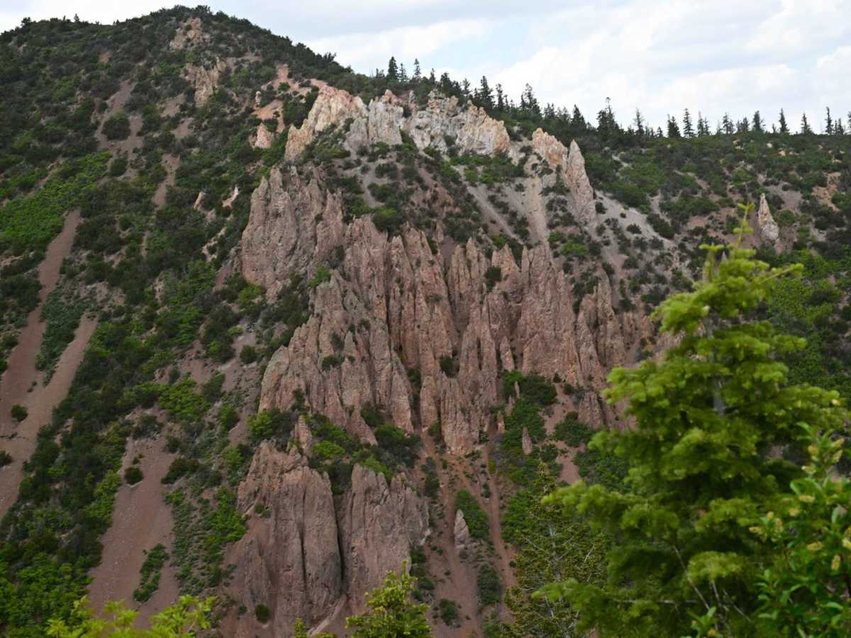
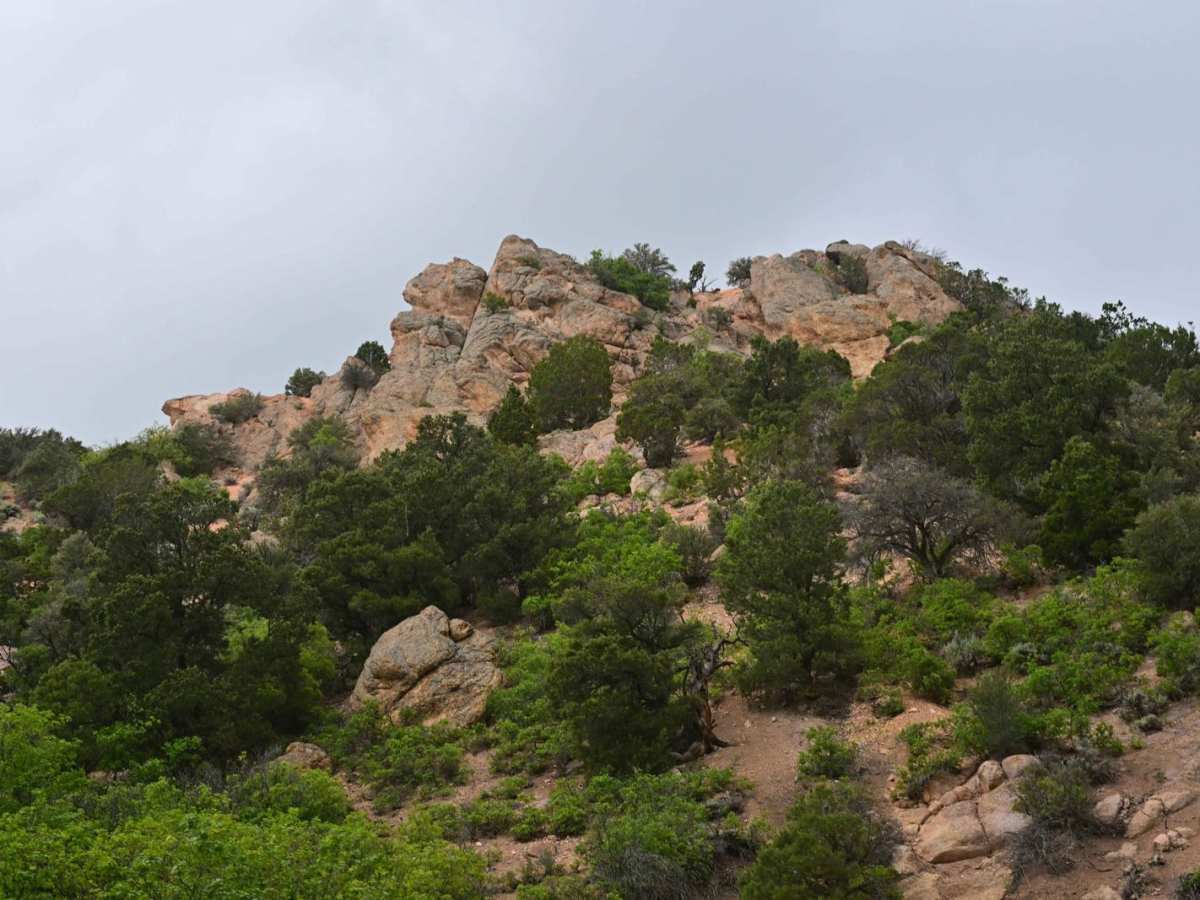
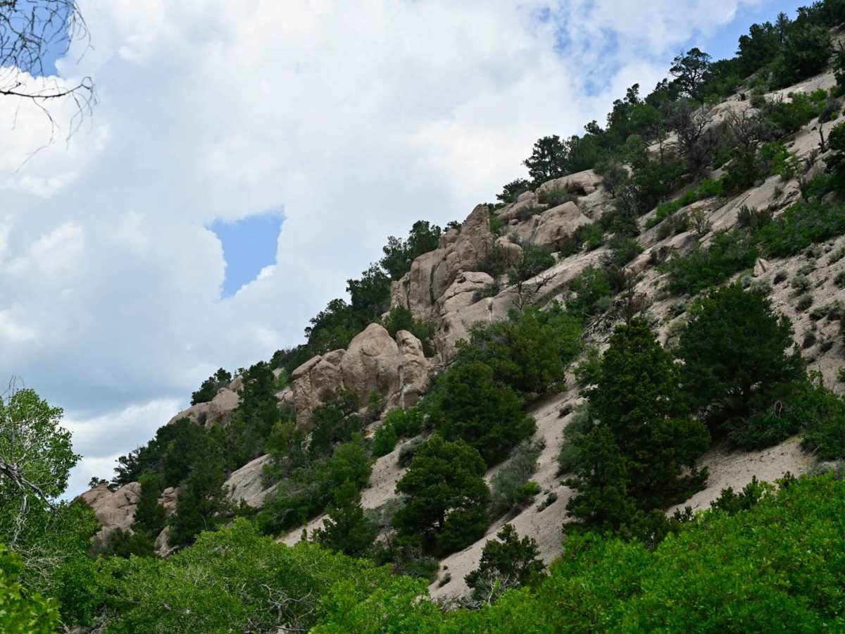
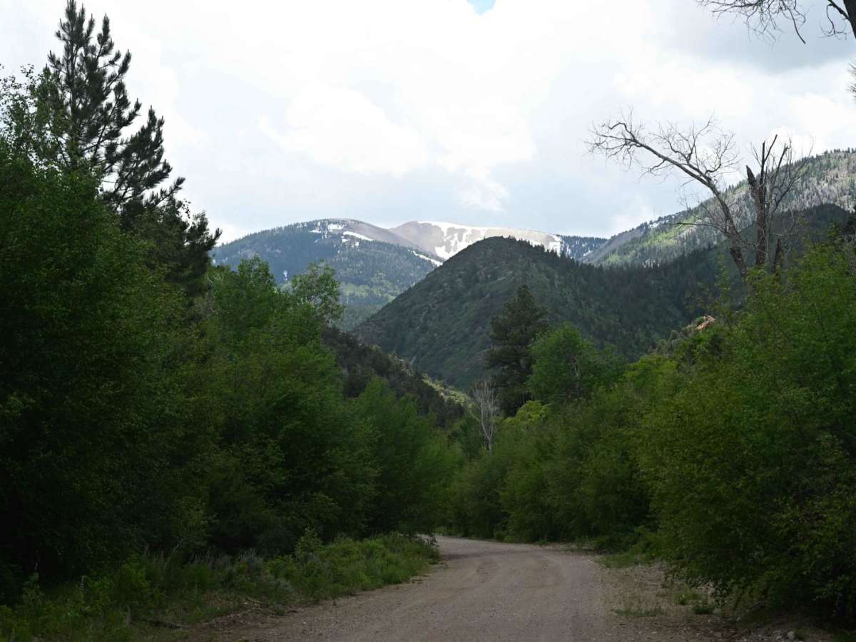
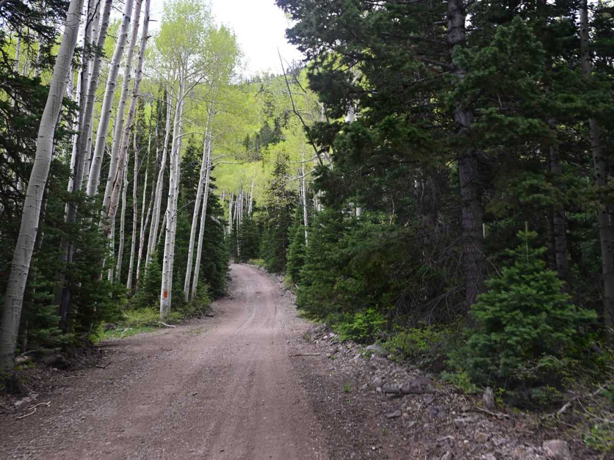
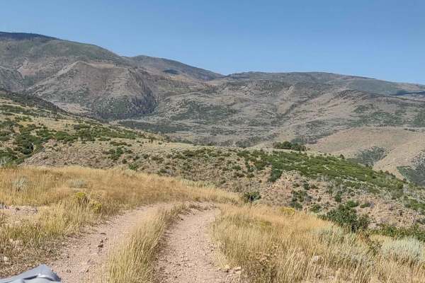
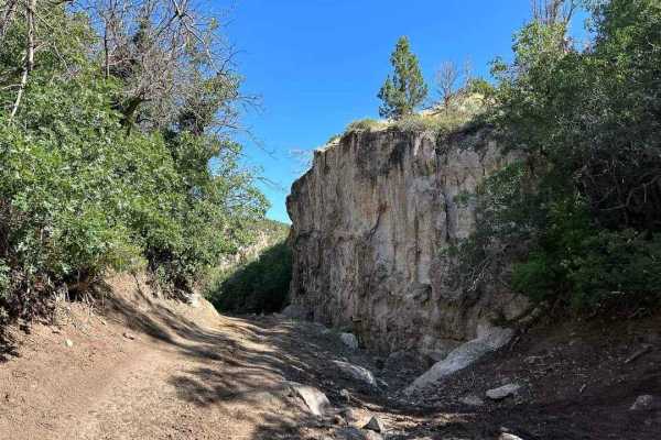
Beautiful ride on a generally well-maintained road that varies between canyons and mountaintops. Starts near Fremont Indian State Park at the north and terminates just south of the Silver King Mine. The road wasn't heavily traveled, and it was mapped during a light rainstorm, so conditions did stay stable. Be sure to stop at the Silver King Mine and do the walking tour for a great insight into Utah mining history. Fremont Indian State Park at the north terminus for a great look at the indigenous history of the Fremont Indians. Fun fact: at the small parking area about 1/4 mile from the northern terminus is where Fremont Indian State Park does their scorpion hunt monthly, so if you go there in the dark with a blacklight, the rocky area on the banks is full of scorpions!
History
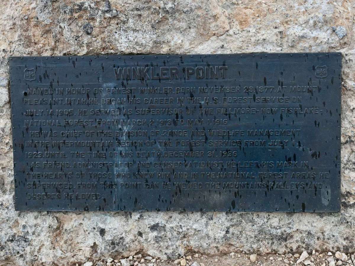
The historic Silver King Mine Interpretive Site is located approximately 12 miles northwest of Marysvale, Utah, in the Tushar Mountains. The gold mine that was claimed by Brigham "Brig" Daniel Darger of Spanish Fork, Utah, in 1894. You can see his home where he lived with his wife Pansy Permelia Brown, and their ten children. Throughout this interpretive area, there is a trail with eight interpretive information posts.