Trail Overview
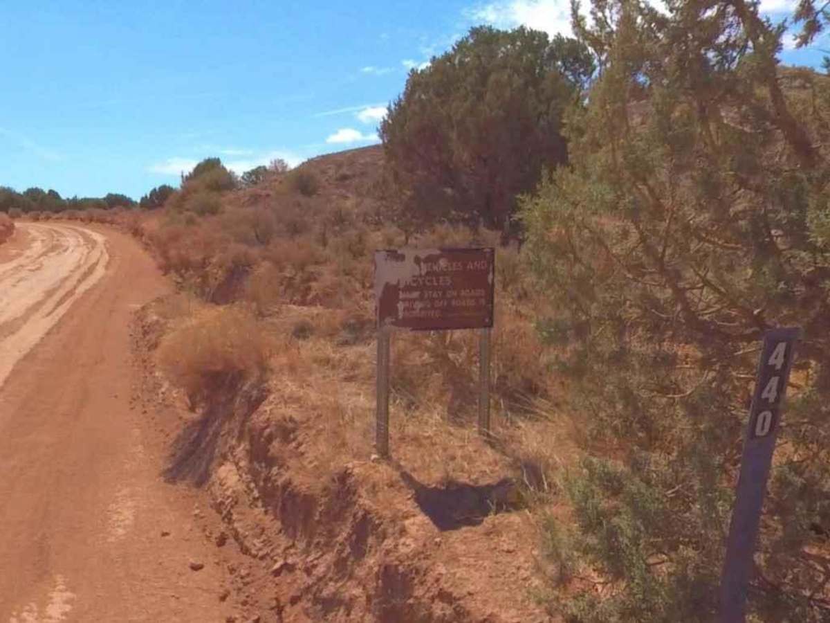
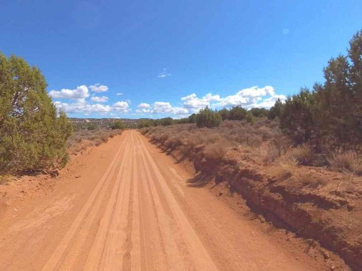
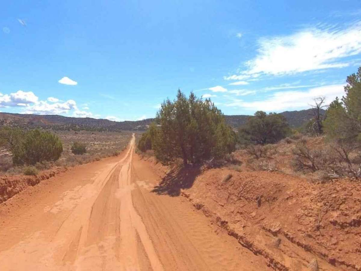
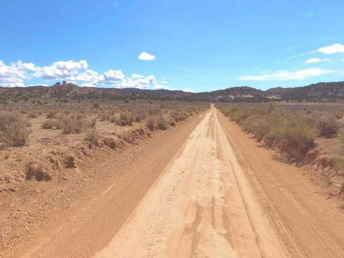
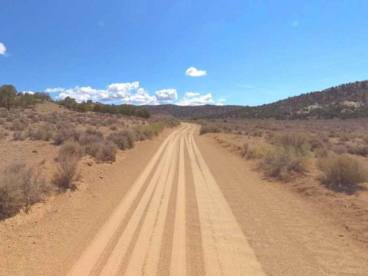
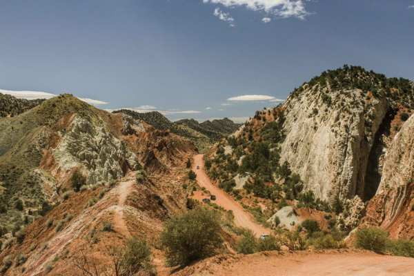
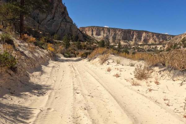
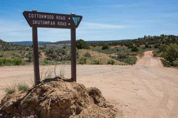
Four Mile Bench Road-BLM440 is a 12-mile point-to-point trail rated 3 of 10 located in the Grand Staircase-Escalante National Monument (GSENM). Although this road drives into the heart of the monument, most travelers never go beyond the first mile for a visit to the Grosvenor Arch. The first mile is a 2 or 4WD well-maintained dirt road. Beyond this point, trail maintenance is not conducted as often. After passing Grosvenor Arch, the road runs through several wilderness areas, and staying on the main road is a requirement. The road crosses several washes and creeks which are typically dry except in the rainy season. However, care should be taken as this area is subject to flash floods. At the end of the 12 miles, the trail intersects with Four Mile Canyon/Last Chance Road and Horse Mountain Road, an unimproved dirt track that runs up the west side of the Death Ridge Wilderness Study Area, eventually coming out on the Smoky Mountain Road Scenic Backway. In 1947, the National Geographic Society led an expedition into the area, and the arch was named after one of the society's presidents, Dr. Gilbert Grosvenor. The arch is unique even for Utah due to the elevation as well as the double arch that was created. There is a 0.1-mile paved sidewalk, making this site ADA-friendly. The site is accessible year-round, however, the road may become muddy during and after storms. Don't expect any cell service in the area. The nearest services to the north are located in Cannonville, Tropic, and Bryce Canyon City. To the south, services are in Kanab, Utah, or Page, Arizona.
Difficulty
The trail consists of loose rocks, dirt, and sand with some slick rock surfaces and mud holes possible. No steps are higher than 12 inches. 4WD may be required, and aggressive tires are a plus.