Trail Overview
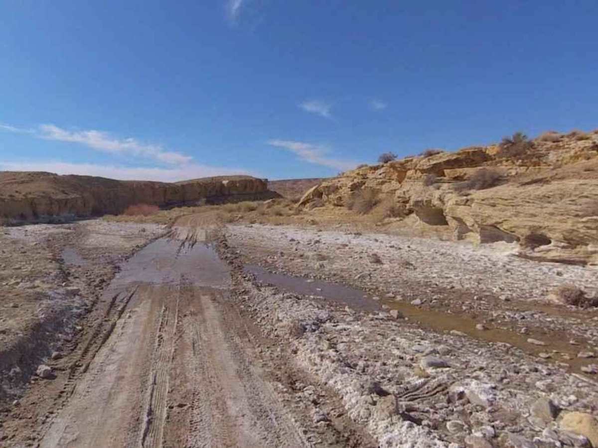
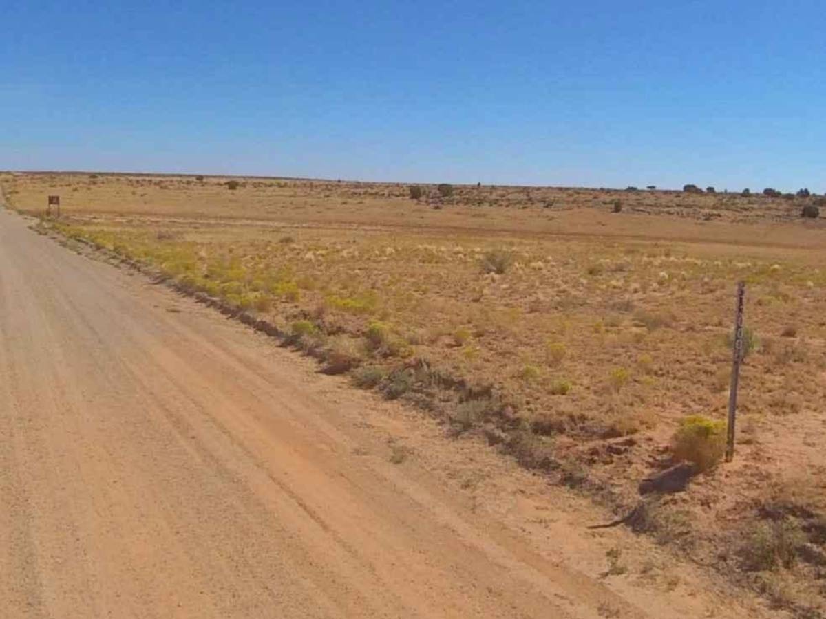
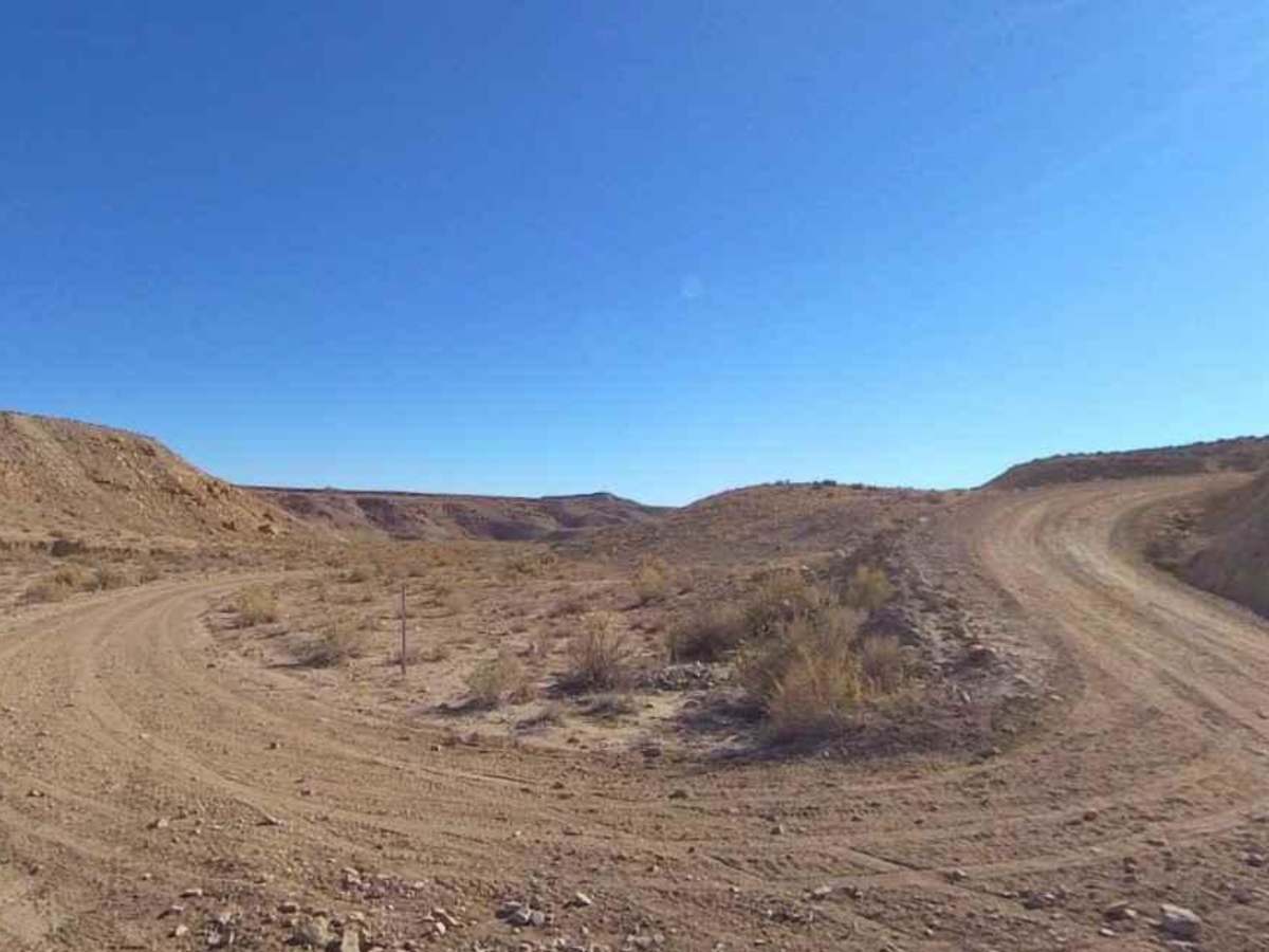
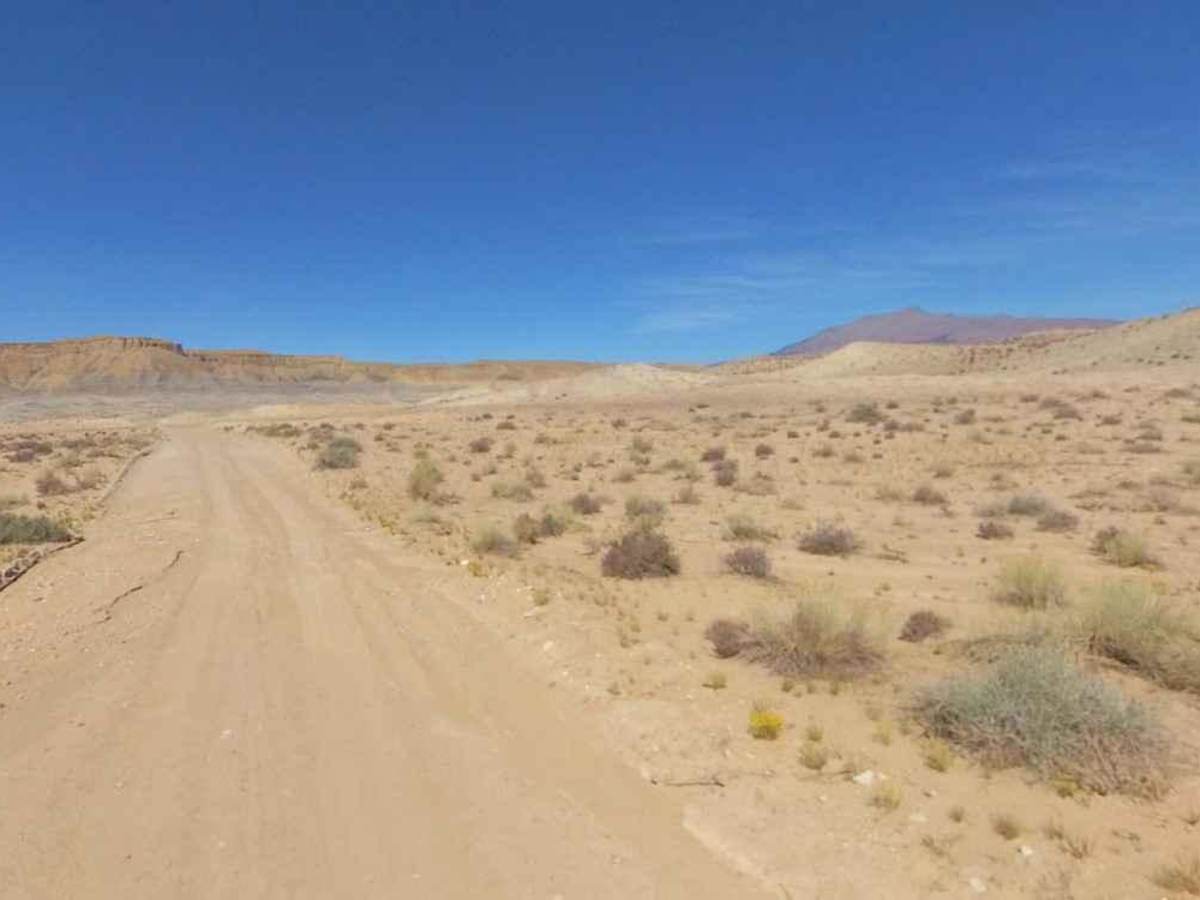
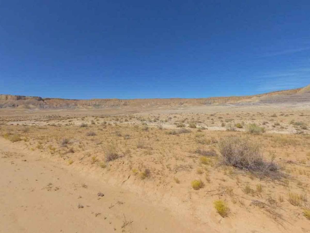
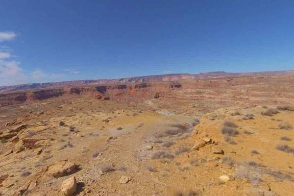
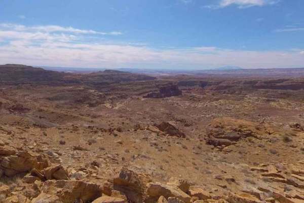
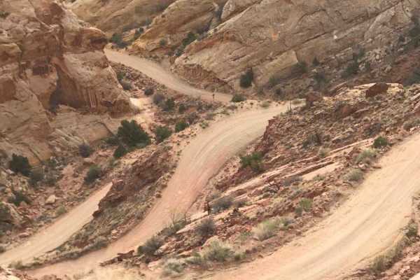
Eggnog Star Springs Road-BLM13000 is a 26.7-mile point-to-point trail rated 3 of 10 located in Garfield County, Utah on the southernmost section of the Henry Mountains. Eggnog Star is a two-track road that is generally suited for 2 or 4WD vehicles. However, it should be noted that several creek crossings may be wet or washed out depending on conditions. Eggnog Star Springs is the major east/west trail through the southern portion of the Henry Mountain Recreational Area. The western end of this trail creates the southern boundary of the Mt. Pinnell Wilderness Study Area (WSA). Four distinct biological life zones are within the WSA due to nearly 5,000 feet of elevation change. Portions of the WSA are summer range for the Henry Mountain bison herd, and bison are frequently seen in the vicinity of The Horn. Cougar, a wildlife species associated with wilderness, inhabits the WSA. Peregrine falcons bald eagles, and five animal species that are considered sensitive may inhabit the WSA. Further east the trail wraps around the southern end of Dial Knob rising to 5000 feet on the north side of the trail. The trail continues to climb past Johns Knoll with the trail cresting at 6200 feet before descending and ending at Highway 276. The Henry Mountains and the surrounding deserts are located in south-central Utah, just north of Lake Powell. Here, almost 2 million acres of public land are administered by the Bureau of Land Management. The Henry Mountains are also notable for the free-roaming herd of bison that live there, one of only four such herds in the country (the other 3 are in Yellowstone Park). The population was established in 1941 after the relocation of 18 individual bison from Yellowstone National Park. Today the herd is estimated to be between 250 and 400 bison. There are more than a thousand miles of off-highway trails available throughout the Henry Mountains. Cell phone service is intermittent to non-existent and the nearest services are in Hanksville to the north. There are several gas stations along Highway 276 between the Bullfrog Marina and Hanksville.
Difficulty
Trail consisting of loose rocks, dirt, and sand with some slickrock surfaces, mud holes possible, no steps higher than 12". 4WD may be required, aggressive tires a plus.