Trail Overview
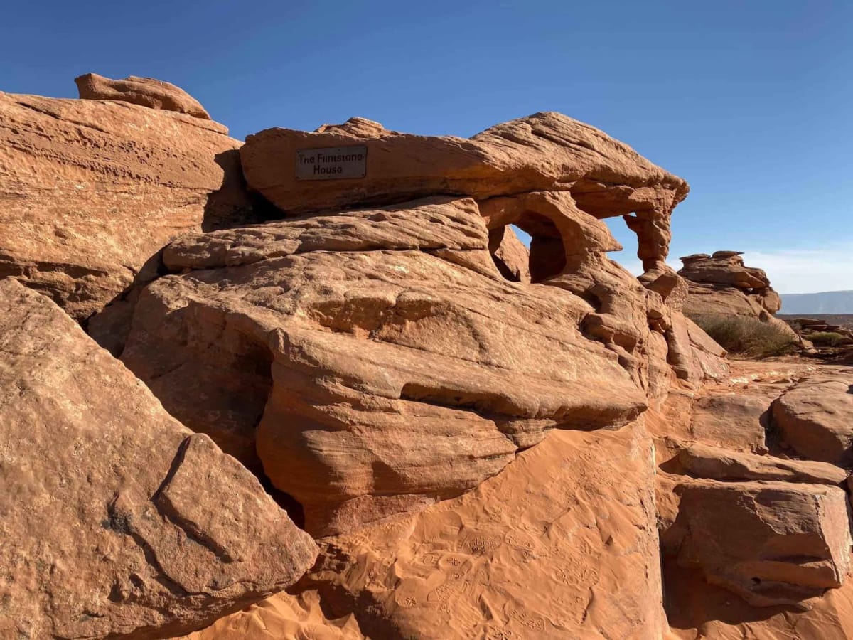
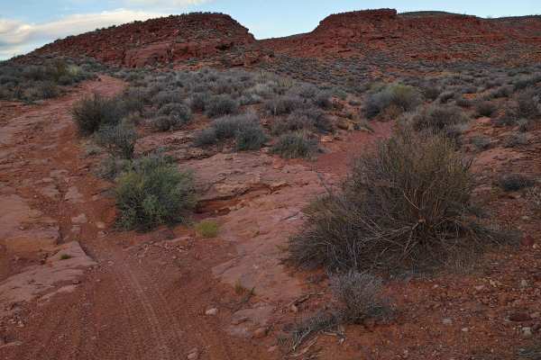
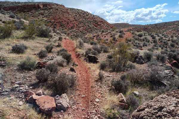
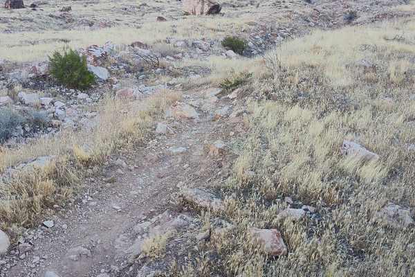
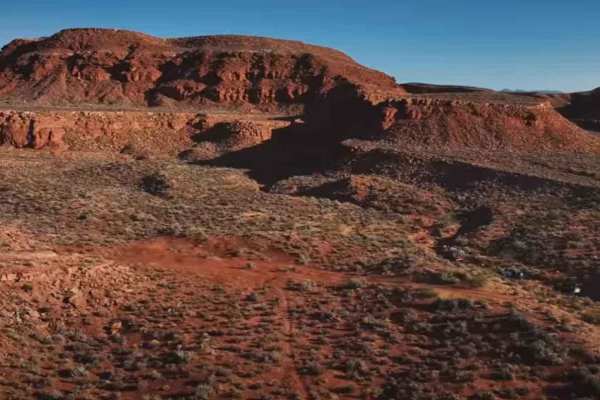
East Rim Trail is a scenic route that travels from the base of the Hurricane Cliffs in Warner Valley, crossing over Sand Mountain via the East Rim to the West Rim and ending at the tunnel for Sand Hollow State Park. The 3 of 10 ratings comes from several ledge areas, steep descents, and a sand dune crossing. Stock high clearance 4x4 vehicles with properly inflated (aired down) tires can successfully negotiate this trail. Along this route, you will have several overlooks along the rim which will provide vista views of Sand Mountain cliffs dropping into Warner Valley and the Hurricane Cliff towering to the east. The typical stop for lunch is at the Flintstone House. Then comes the time to cross the dunes and make the climb up to the Top of the World. From there, you follow the Sand Dune Road down to the fence line and out through the tunnel. Optional ways out include heading east and exiting through what is known as Green Gate or you may follow the fence line further to the west and exit at Sand Hollow Road. Please remember to leave all gates as you found them. When operating on Sand Mountain, you may encounter BLM Rangers, Washington County Sheriffs, and Park Rangers from adjacent Sand Hollow State Park. The BLM has an agreement with the park that includes having the Park Rangers patrol the dunes. When operating on sand dunes a safety flag attached to the vehicle, at least 8 feet above the surface of level ground, is required.
Difficulty
This trail features slick rock, step descents, rocky climbs, and sand dunes providing a wide variety of obstacles on this trail.
History
Sand Mountain was designated as an Open OHV Area in the 1999 St. George Field Office Resource Management Plan. Adjacent to the popular Sand Hollow State Park, the area provides lots of open riding opportunities on the dunes and miles of technical trails suitable for full-size 4x4s.