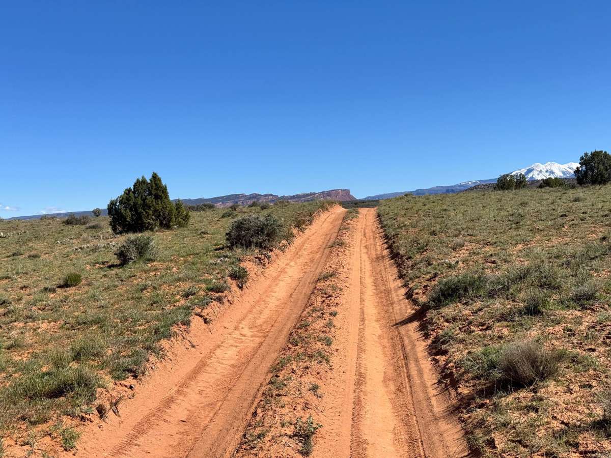
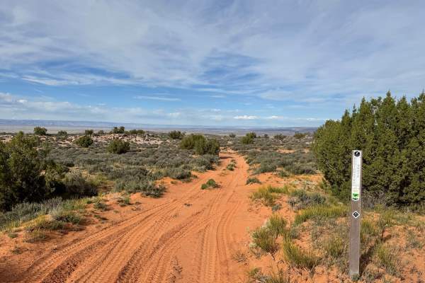
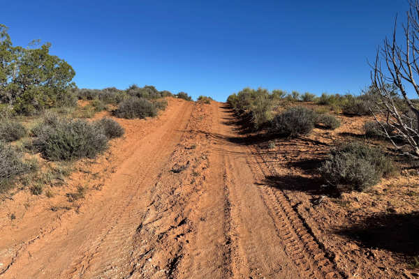
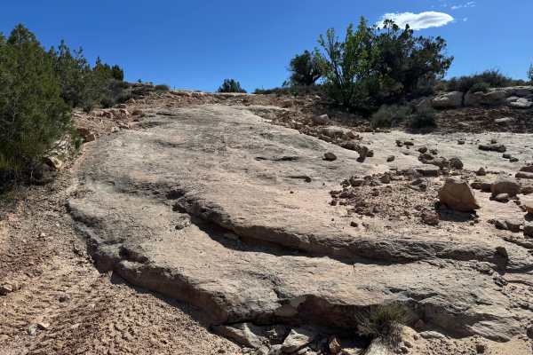
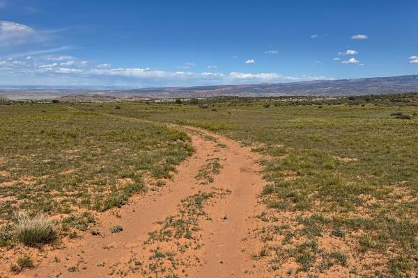
Trail Overview
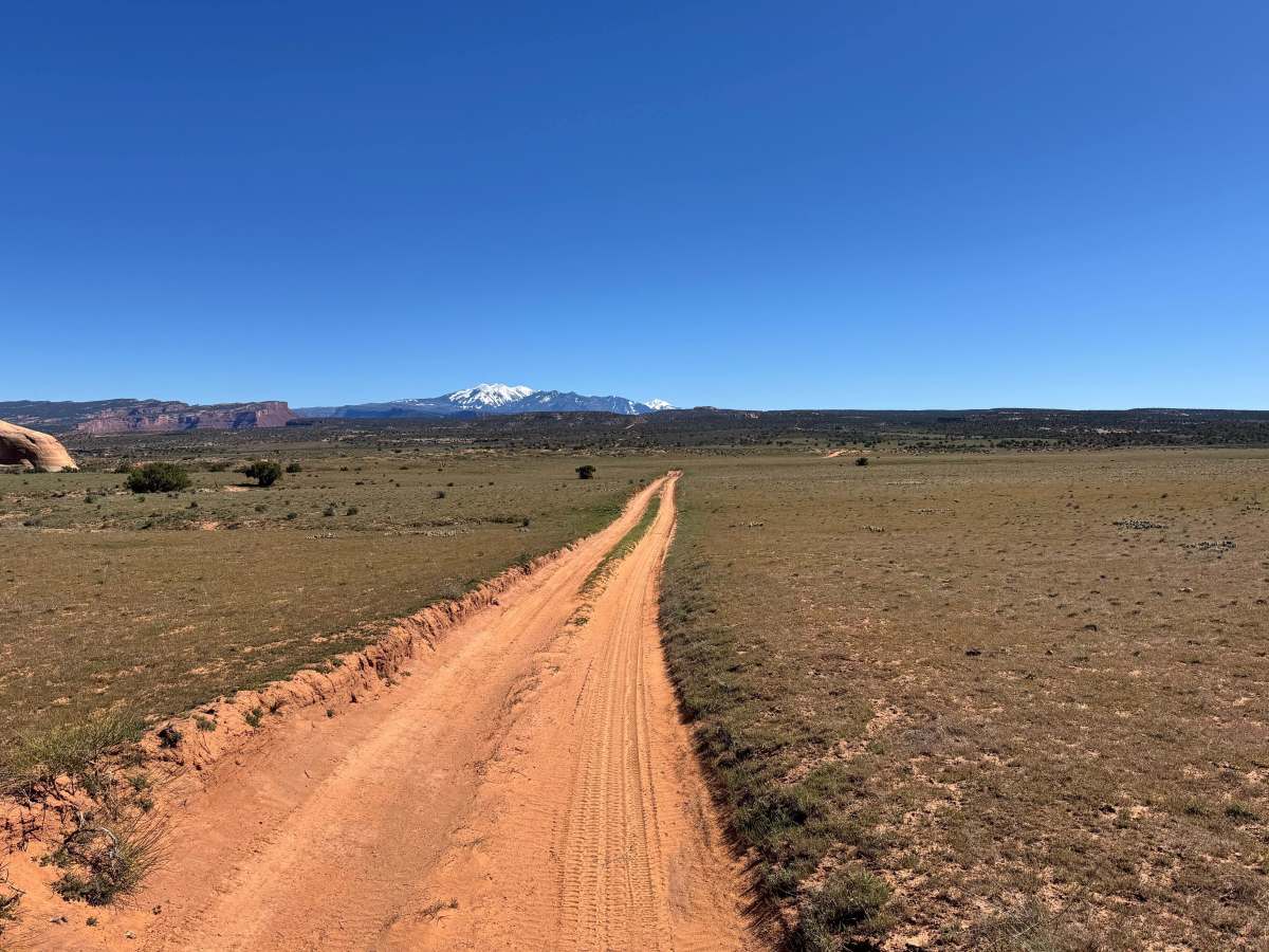
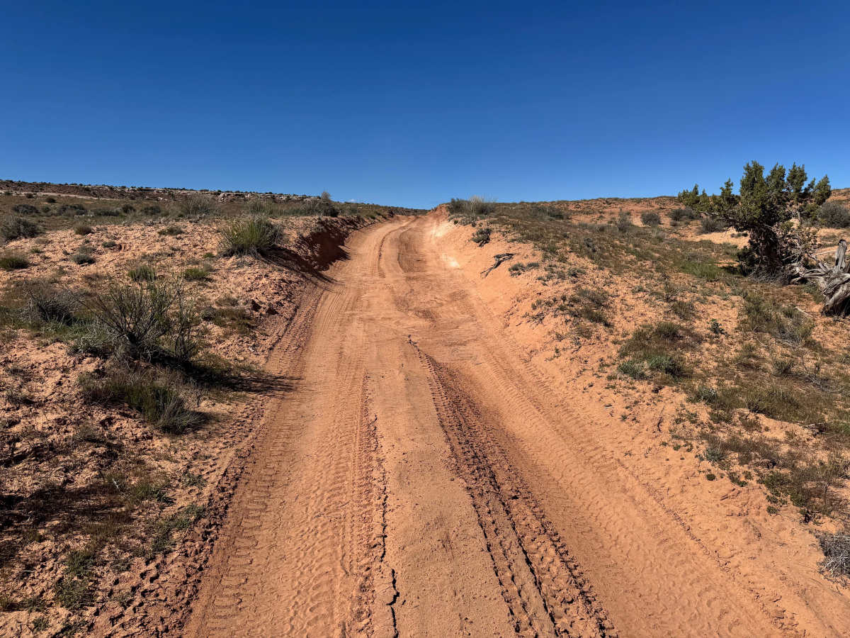
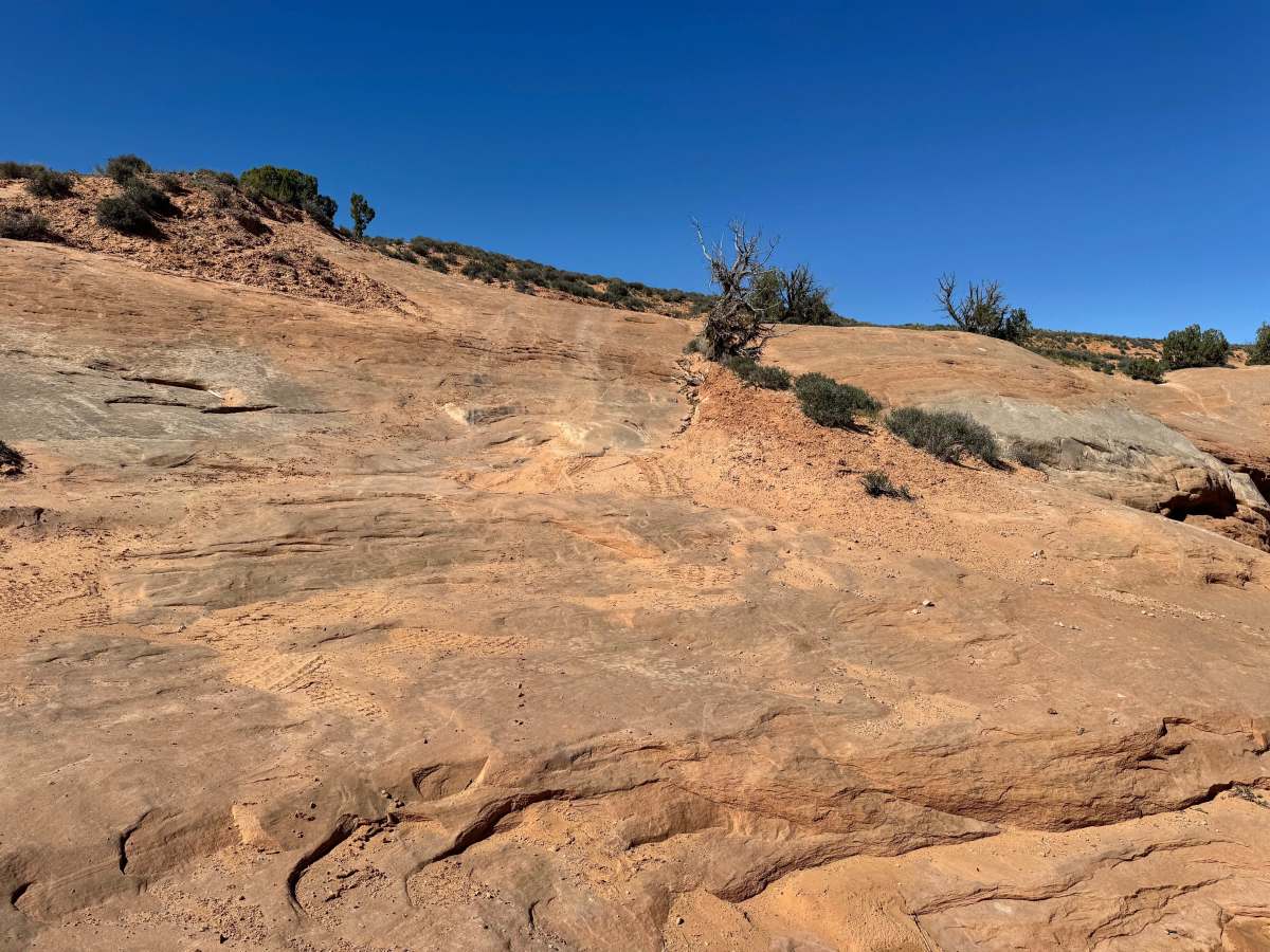
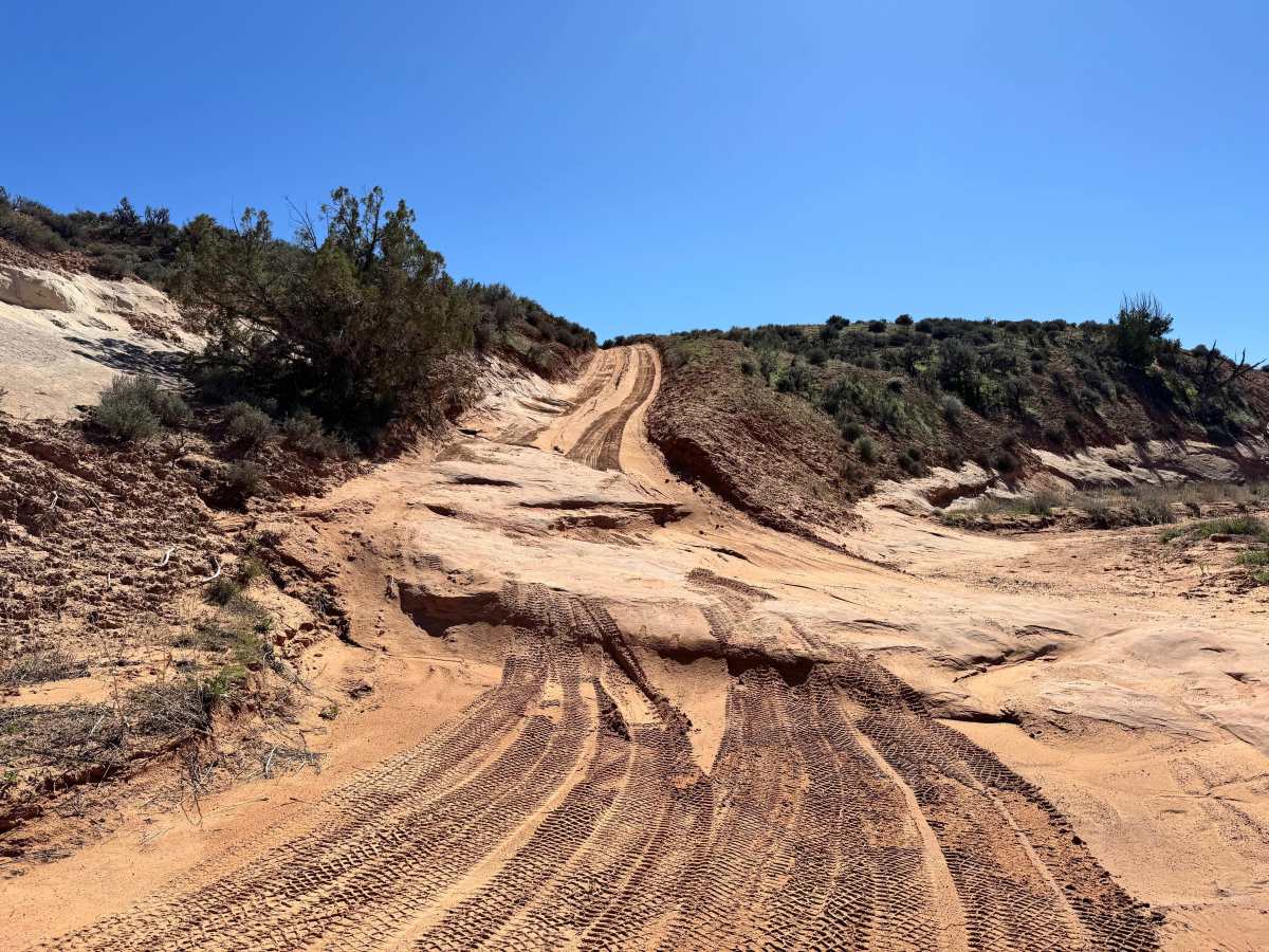
Non-Resident OHV permits apply to ATVs, UTVs, and dirt bikes. Plated street-legal vehicles typically do not need one on legal motorized routes. This short connector route links two sides of the Dome Plateau trail system while still delivering the wide-open scenery the area is known for. The trail crosses open desert flats with long views of surrounding mesas and distant snow-capped peaks of the La Sal Mountains before climbing through sandy hills and exposed slickrock sections. Though brief in length, it is more than just a simple transfer between trail segments. Several washout areas create uneven ruts, off-camber spots, and sharper transitions that may require slower speeds and careful tire placement. The slickrock climbs can also become more challenging when loose sand is blown across the surface, especially for vehicles with worn or low tread tires. Good traction and steady throttle control help here. It is a quick route, but one that adds scenery, variety, and a few technical moments to the larger Dome Plateau experience.
Difficulty
This connector route is generally manageable for most high-clearance 4WD vehicles, but it is not entirely obstacle-free. Sandy climbs, minor washouts, uneven ruts, and slickrock transitions add enough challenge to move it beyond a basic dirt road. Drivers with good tires and proper ground clearance should have little trouble in dry conditions, though worn tires or low-clearance vehicles may struggle for traction on sandy slickrock climbs. Momentum, tire placement, and basic off-road driving experience are helpful in a few spots. Skid plates are recommended for added peace of mind when crossing washouts or uneven ledges.
History
Dome Plateau sits within a region shaped by erosion, mining history, and early backcountry travel routes outside Moab. Today, the trail system is popular with off-road travelers looking to experience classic red rock scenery beyond the busier in-town trails.