Trail Overview
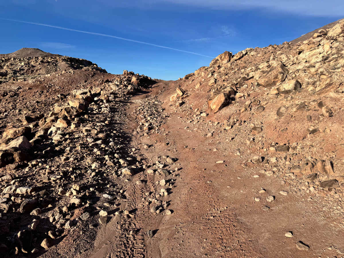
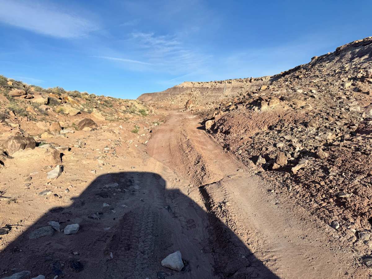
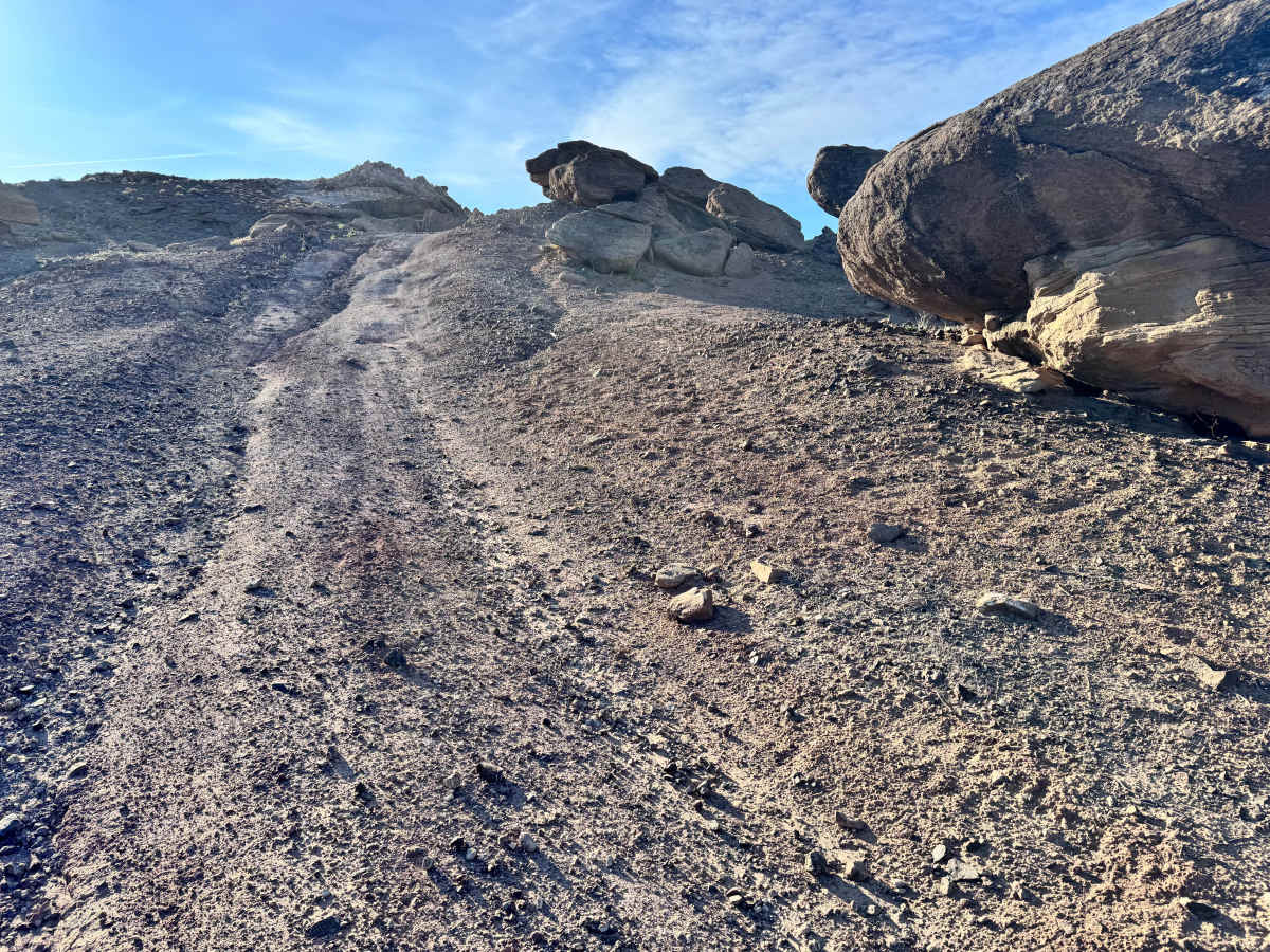
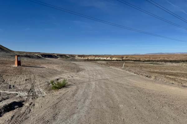
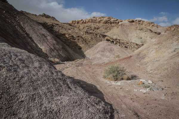
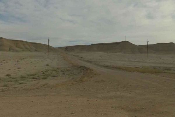
This route travels through a rugged and fascinating section of desert, once connected to the historic Green River Missile Launch Complex, which operated from 1964 to 1975. Today, the area has transformed into a scenic backcountry trail where remnants of the past meet striking natural landscapes. The route crosses open desert flats before climbing into rougher, rock-strewn terrain with colorful hills, scattered boulders, and unusual formations that give the area an almost Mars feel. In dry conditions, the trail is well-suited for high-clearance 4x4s equipped with durable off-road tires, though a bit of extra clearance is helpful when crossing the natural gas pipeline along the route. Drivers will also travel beside portions of the Orange Trail ATV network, so watch for smaller trail users and dust around blind corners. This is a rewarding trail for those who enjoy moderate terrain, desert scenery, and a unique piece of Cold War history hidden in the Utah backcountry.
Difficulty
This route is moderately easy in dry conditions, but the rocky terrain, uneven surfaces, pipeline crossing, and occasional climbs add enough challenge to keep drivers engaged. It is suitable for most high clearance 4x4s with durable tires, though careful line choice is helpful in rougher sections.
History
This region has a long history tied to ranching, river travel, mining, and early transportation routes across eastern Utah. Some trails follow historic travel corridors once used by settlers, ranchers, and traders. Nearby sites also connect to the Cold War-era Green River Launch Complex, adding another layer of history to the desert landscape.