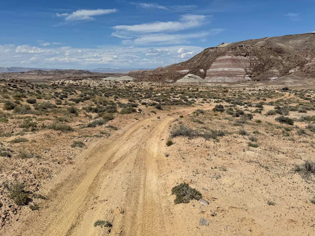
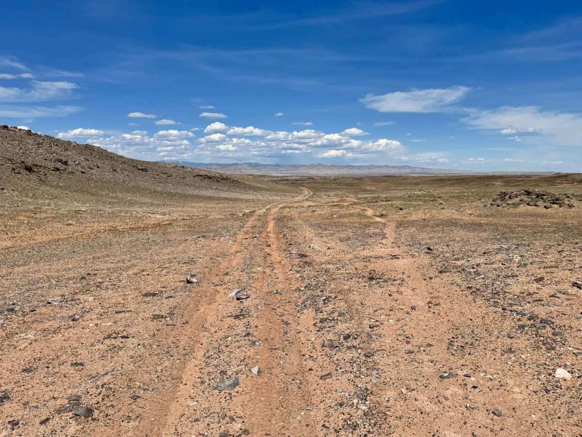
Trail Overview
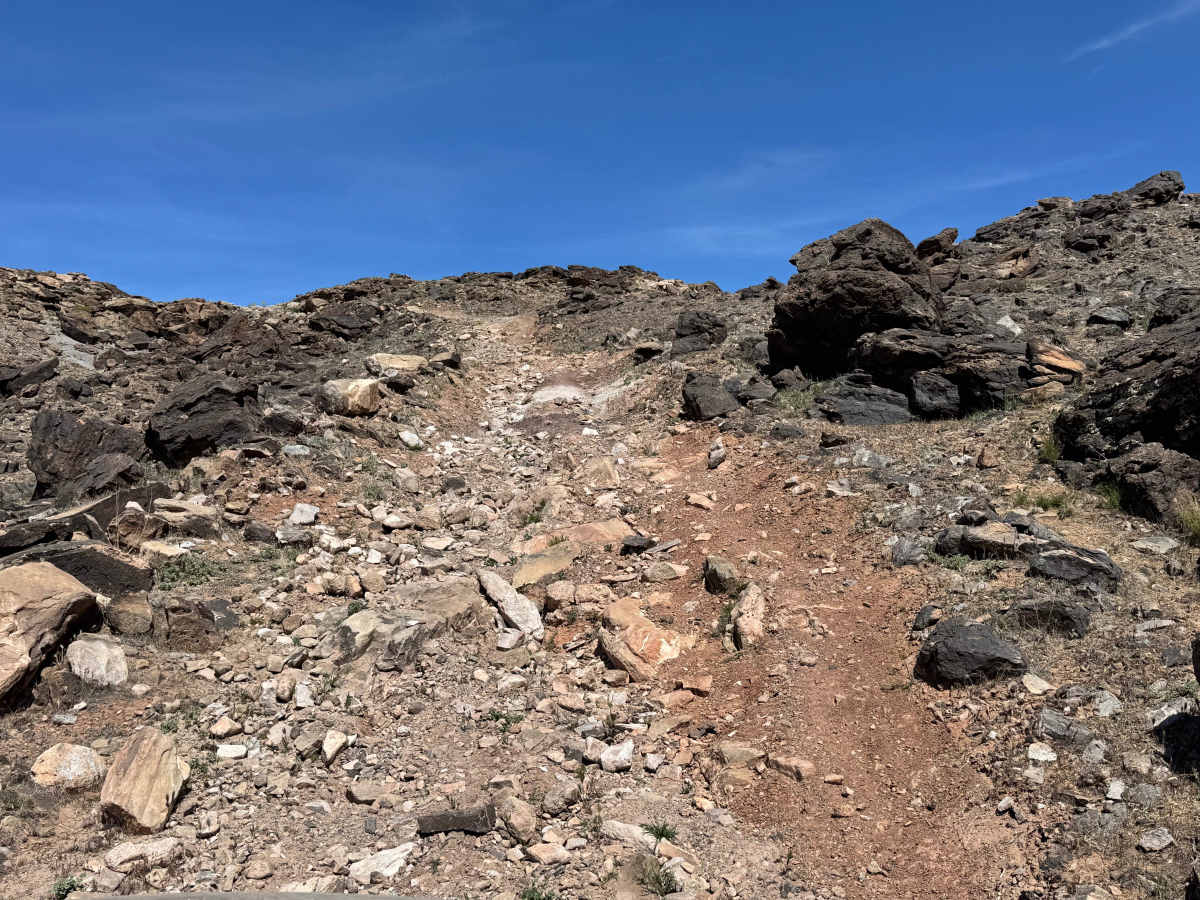
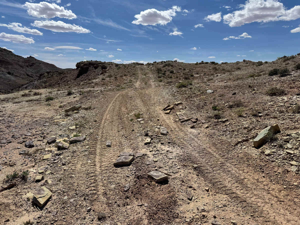
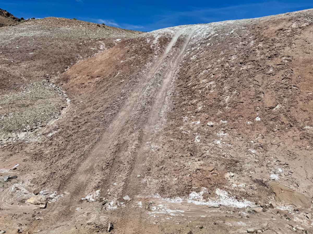
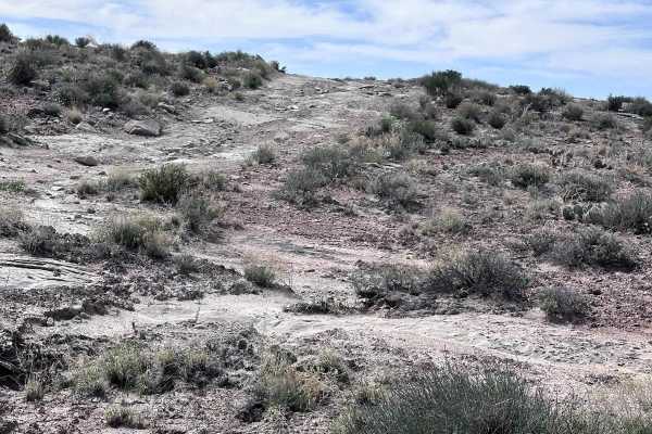
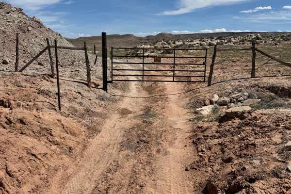
D3018 is a short but demanding 3-mile route that requires both driver confidence and a properly equipped vehicle. While the mileage is low, the trail quickly earns respect with several steep hills covered in loose dirt, exposed rock, and basketball-sized boulders that can reduce traction on climbs and descents alike. The central portion of the trail is the most technical, with rocky grades that may challenge vehicles without good clearance, aggressive tires, or traction aids. Differential lockers are strongly recommended, especially in dry loose conditions where wheelspin can become an issue. Running the trail north to south is generally the easier direction, as the toughest hill is descended rather than climbed. Between obstacles, the route rewards travelers with wide-open views and passes a salt flat often visited by pronghorn. The Blue Hills Road side becomes smoother and more ranch-oriented, so watch for cattle near the trail.
Difficulty
D3018 is a short but technical trail with steep grades, loose rock, large embedded boulders, and limited traction on both climbs and descents. The biggest challenge is the rocky middle section, where careful tire placement, momentum control, and good clearance are important. Lockers are highly recommended but not always required for well-driven, capable rigs.