Trail Overview
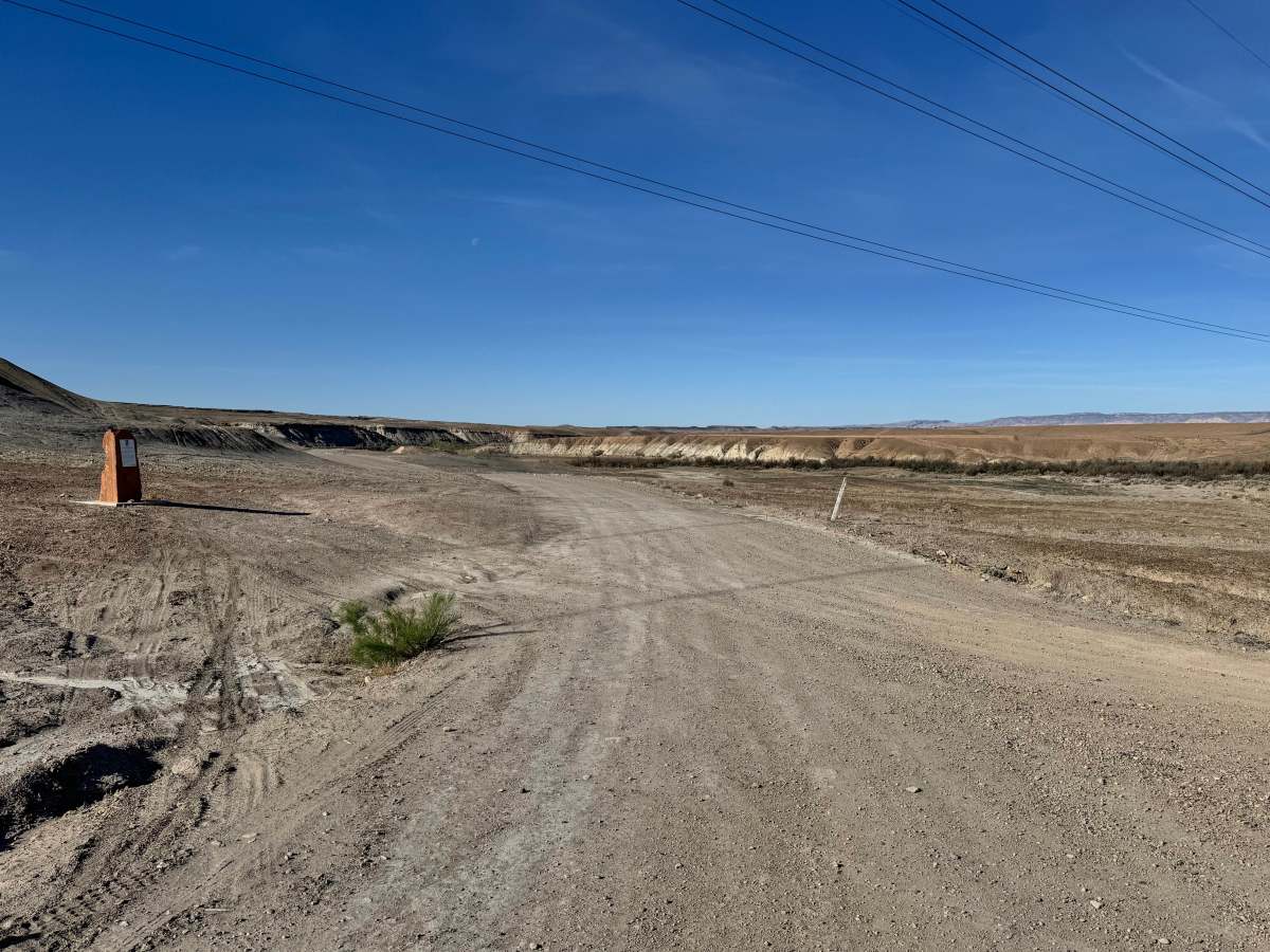
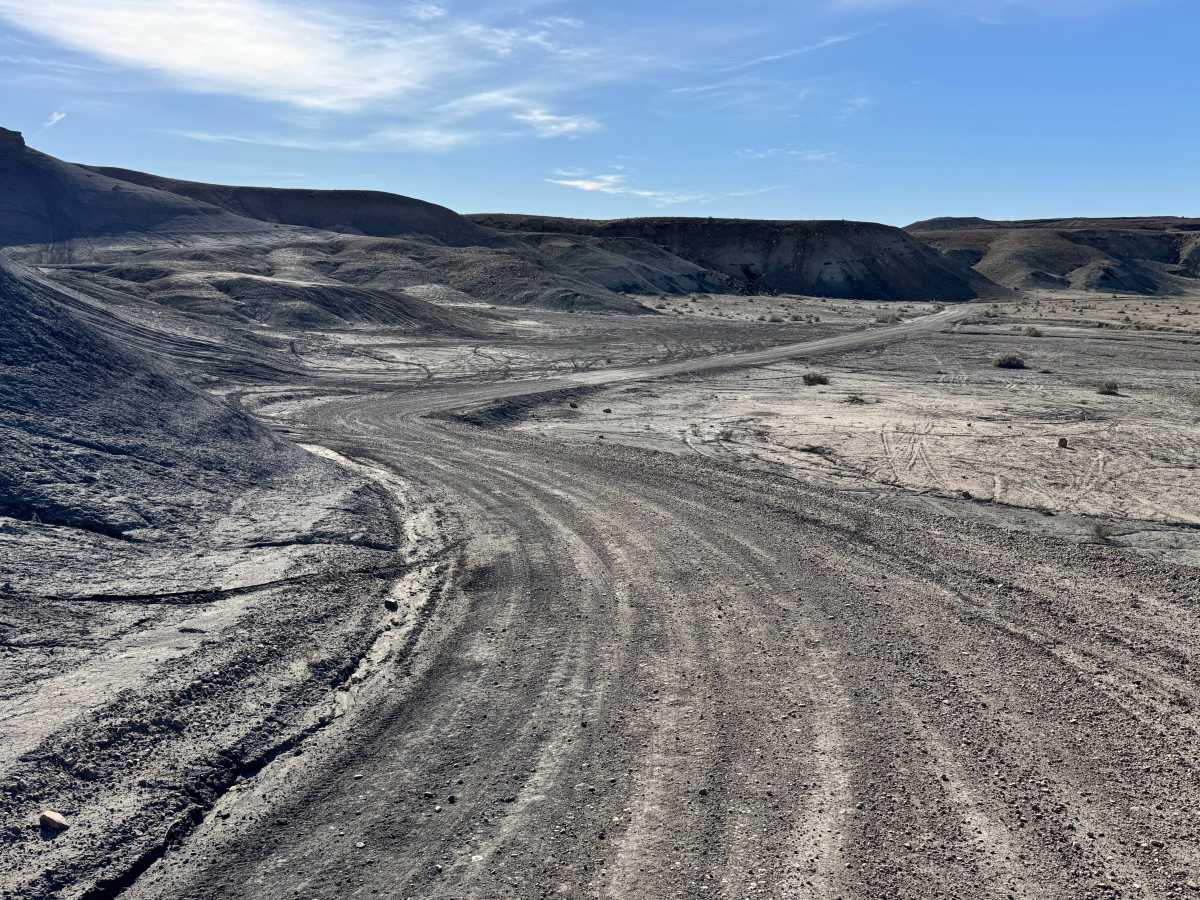
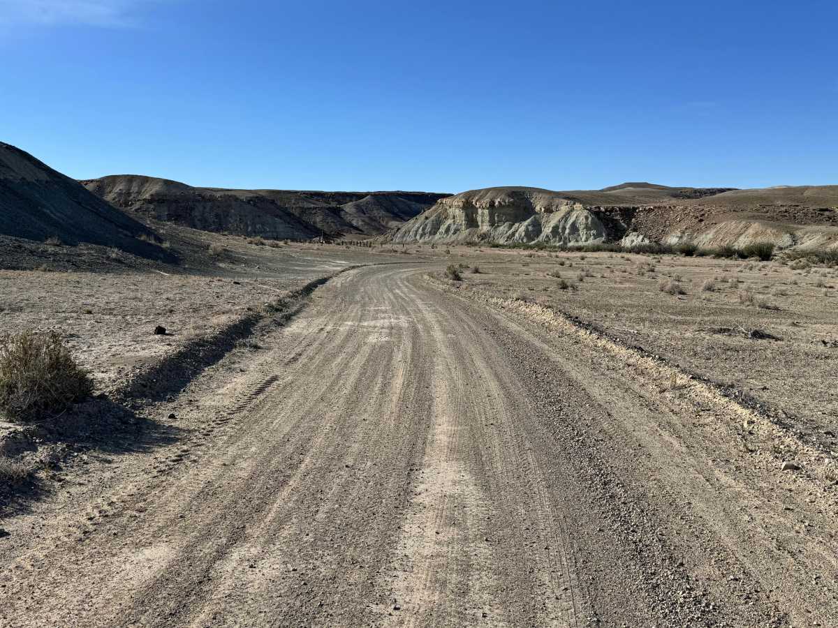
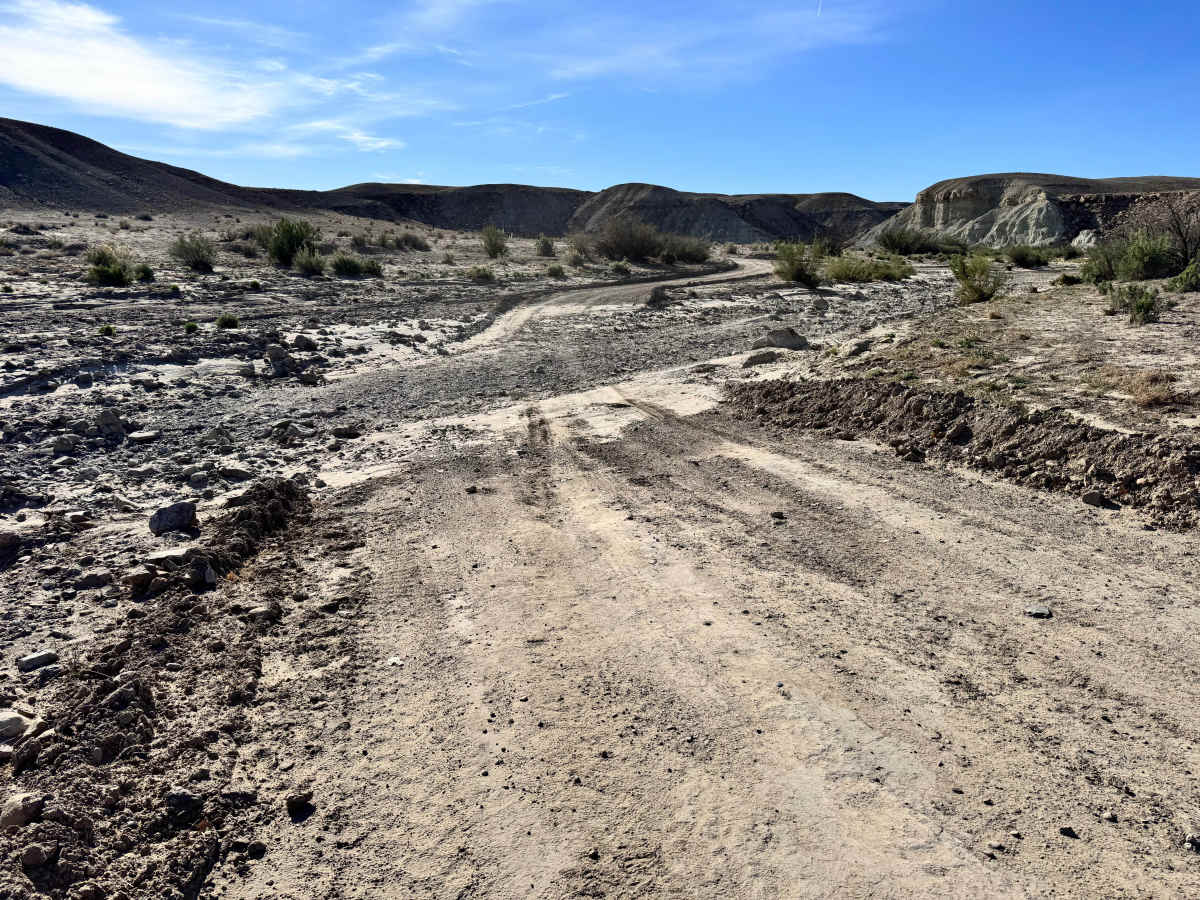
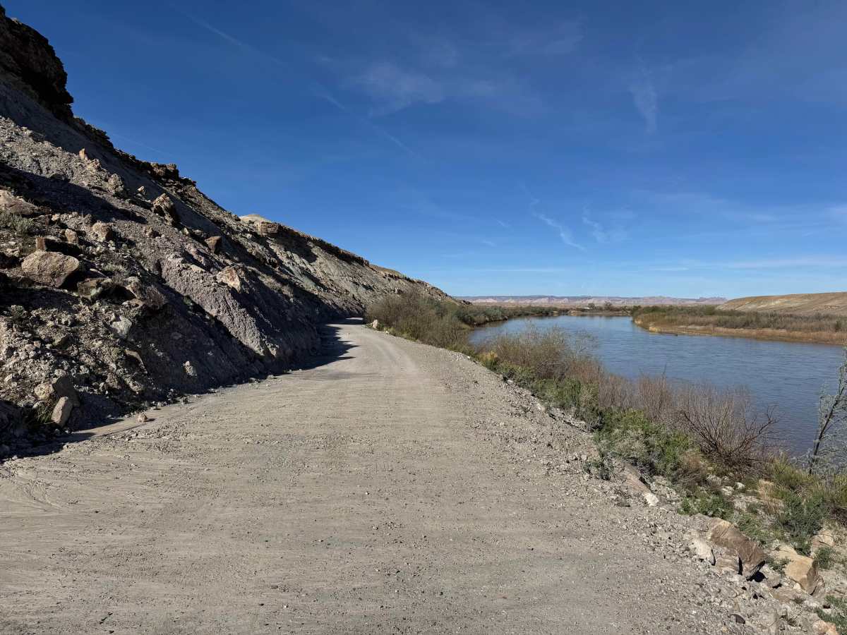
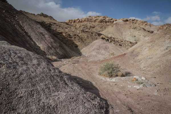
This route is an easy and scenic maintained gravel road that provides relaxed access to the Green River. The majority of the drive is straightforward, making it a good option for travelers looking for scenery without major technical challenges. One notable exception is a washout crossing along the route that is less maintained than the rest of the road. Drivers should slow down, assess the line, and use caution when crossing this rougher section, especially after storms or recent runoff. After reaching the river corridor, the road follows alongside the Green River for a pleasant stretch with views of the water, surrounding cliffs, and open desert landscape. The route eventually ends at a locked gate, which serves as the turnaround point. From there, simply retrace the same road back to the start while enjoying the scenery from a different perspective.
Difficulty
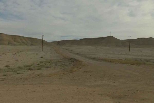
This route is mostly a maintained gravel road with only one rougher washout crossing that requires extra caution. Aside from that section, the trail is straightforward and suitable for most stock SUVs, trucks, and many passenger vehicles in dry conditions.
History
The Orange Trail is part of the legacy of William Louis “Bill” Thompson, a longtime public servant and trail builder honored at the trailhead memorial. Bill helped establish and improve multiple trail systems throughout Utah and worked as an OHV coordinator and trails specialist after retiring from the U.S. Forest Service. This trail was a 15-year project for him and stands as a tribute to his commitment, perseverance, and love of outdoor recreation.