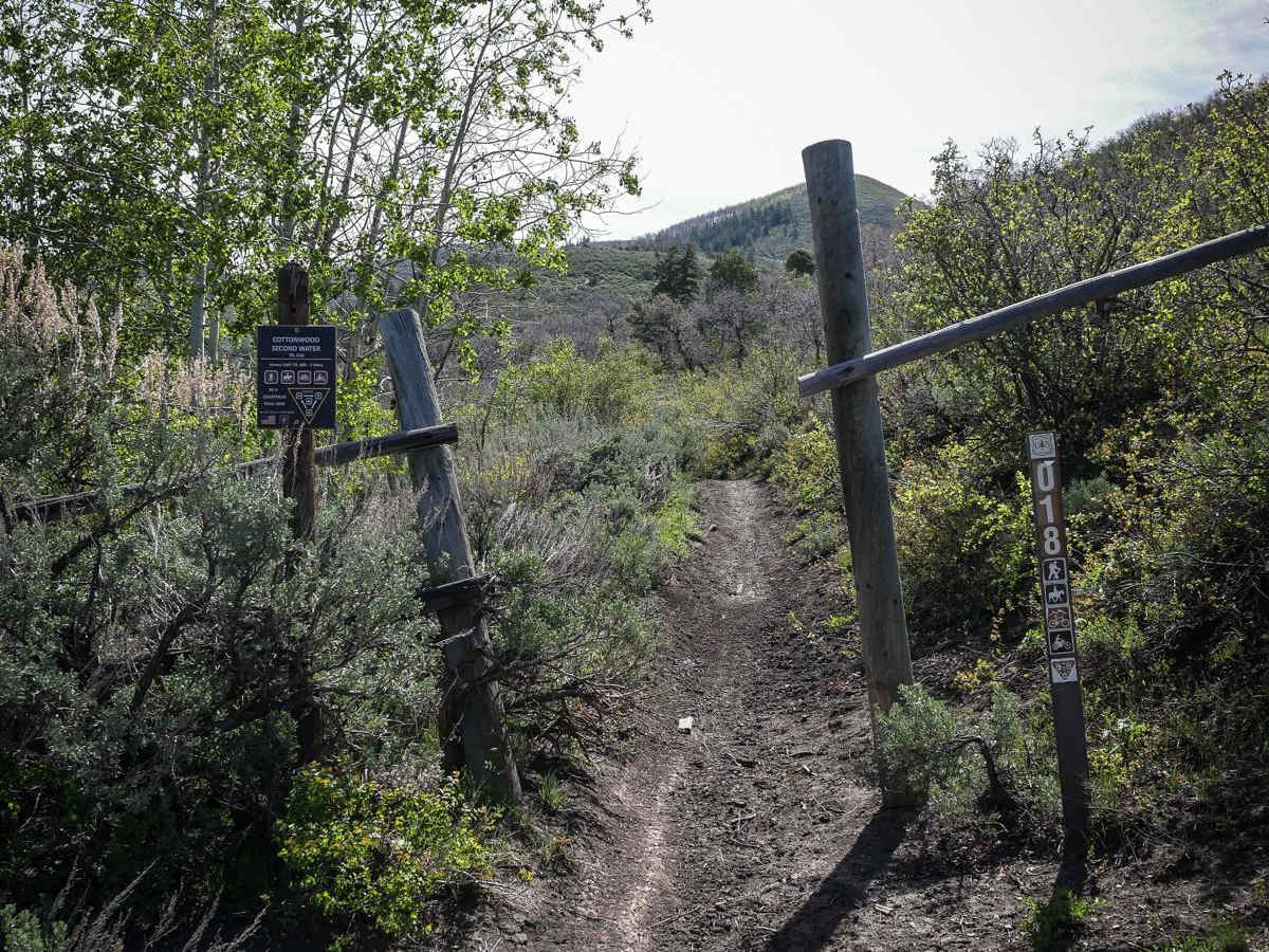
Trail Overview
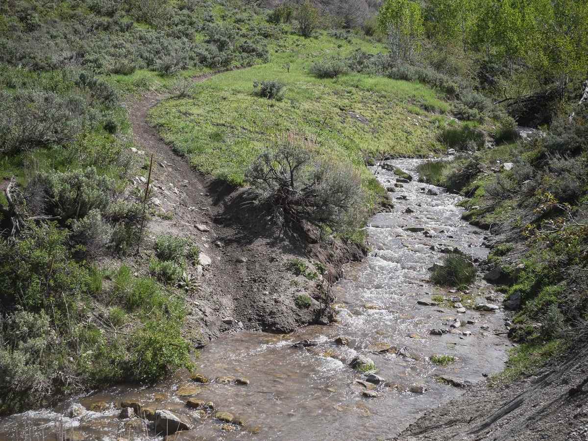
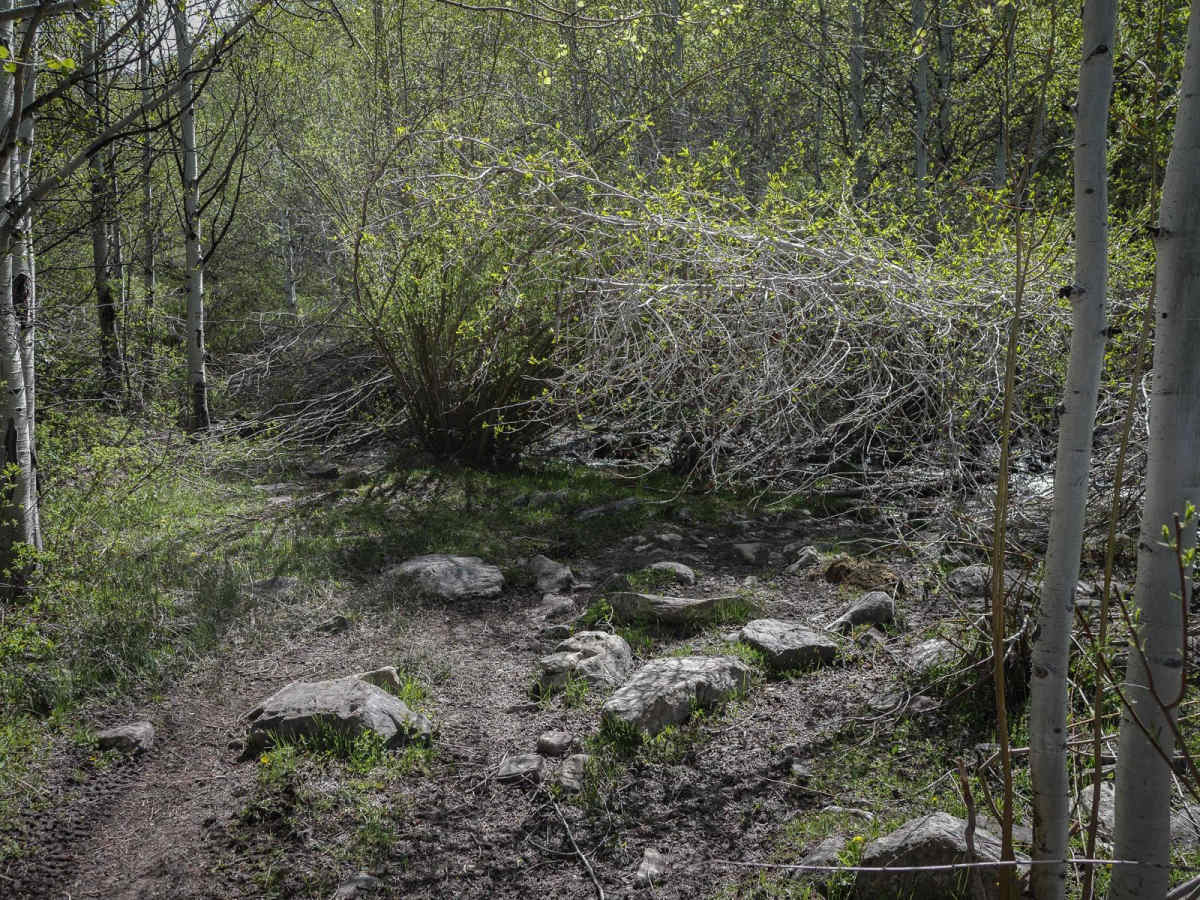
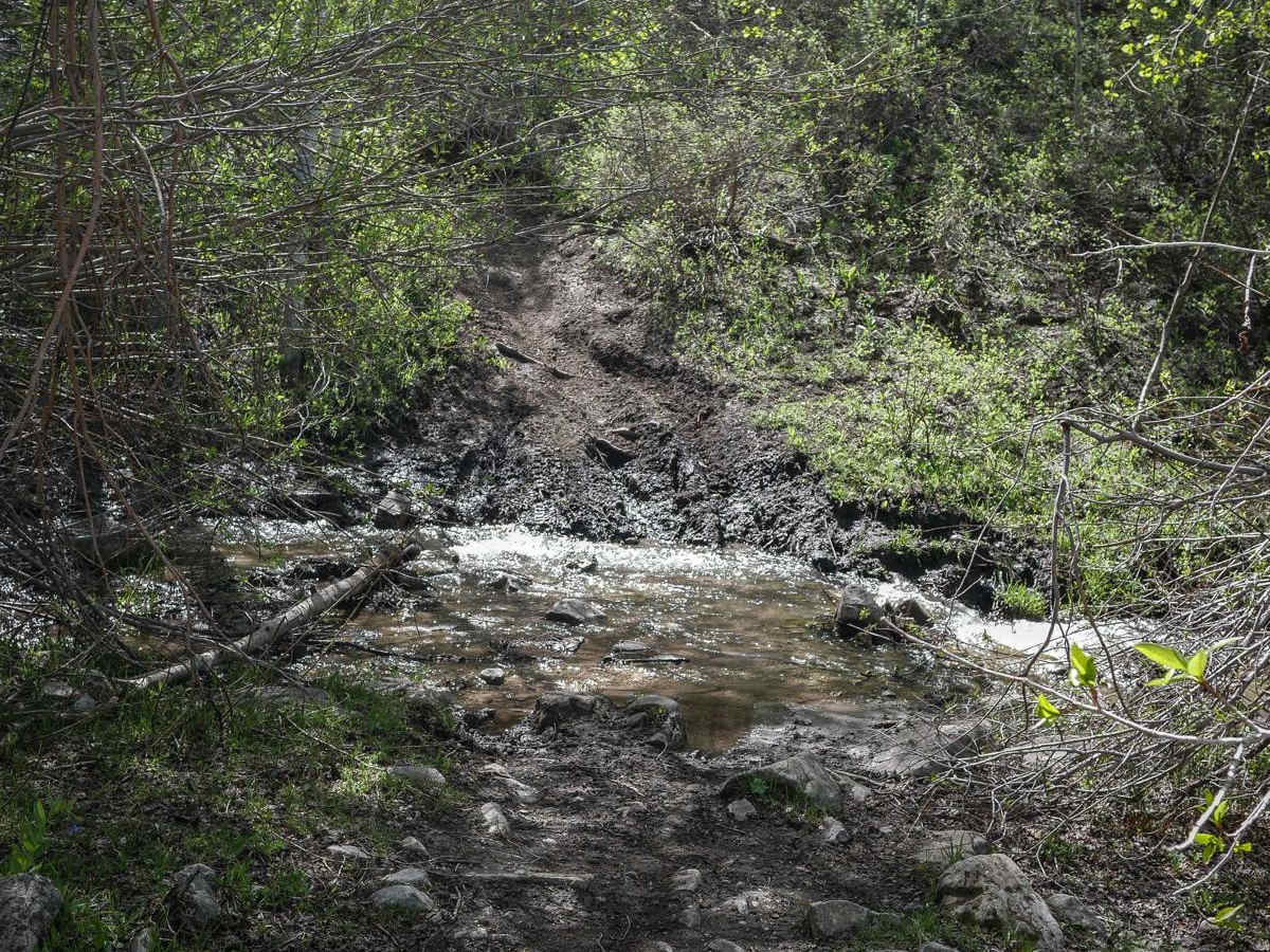
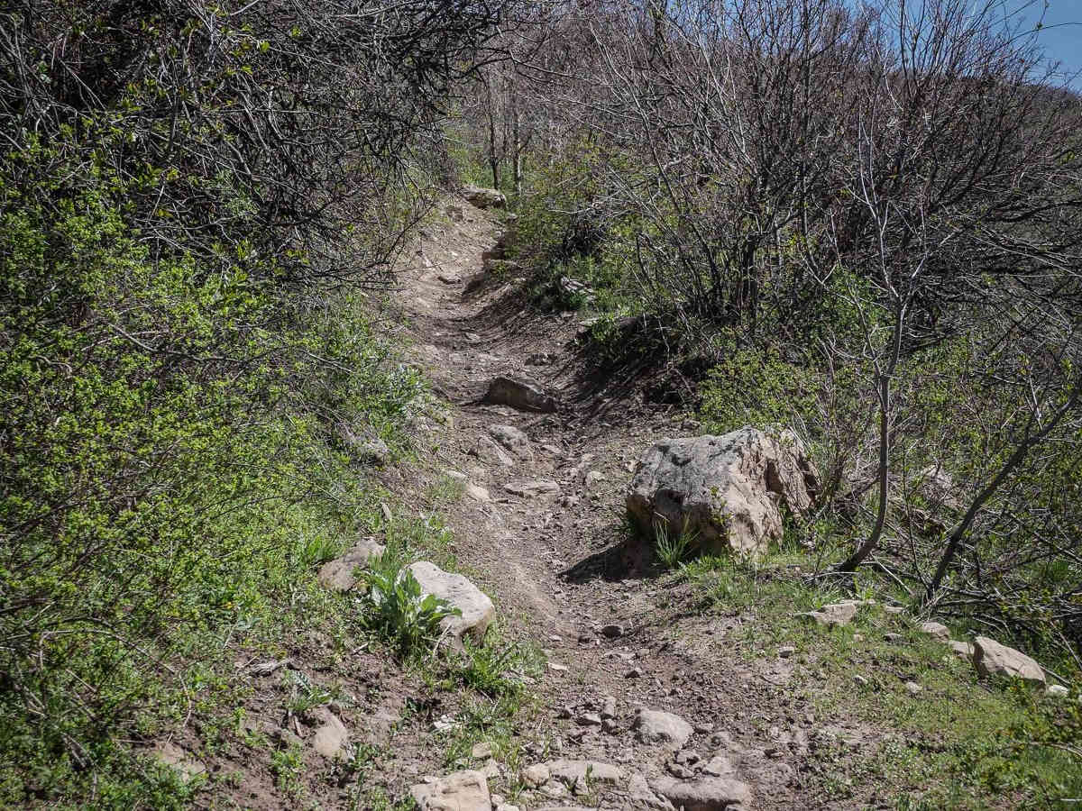
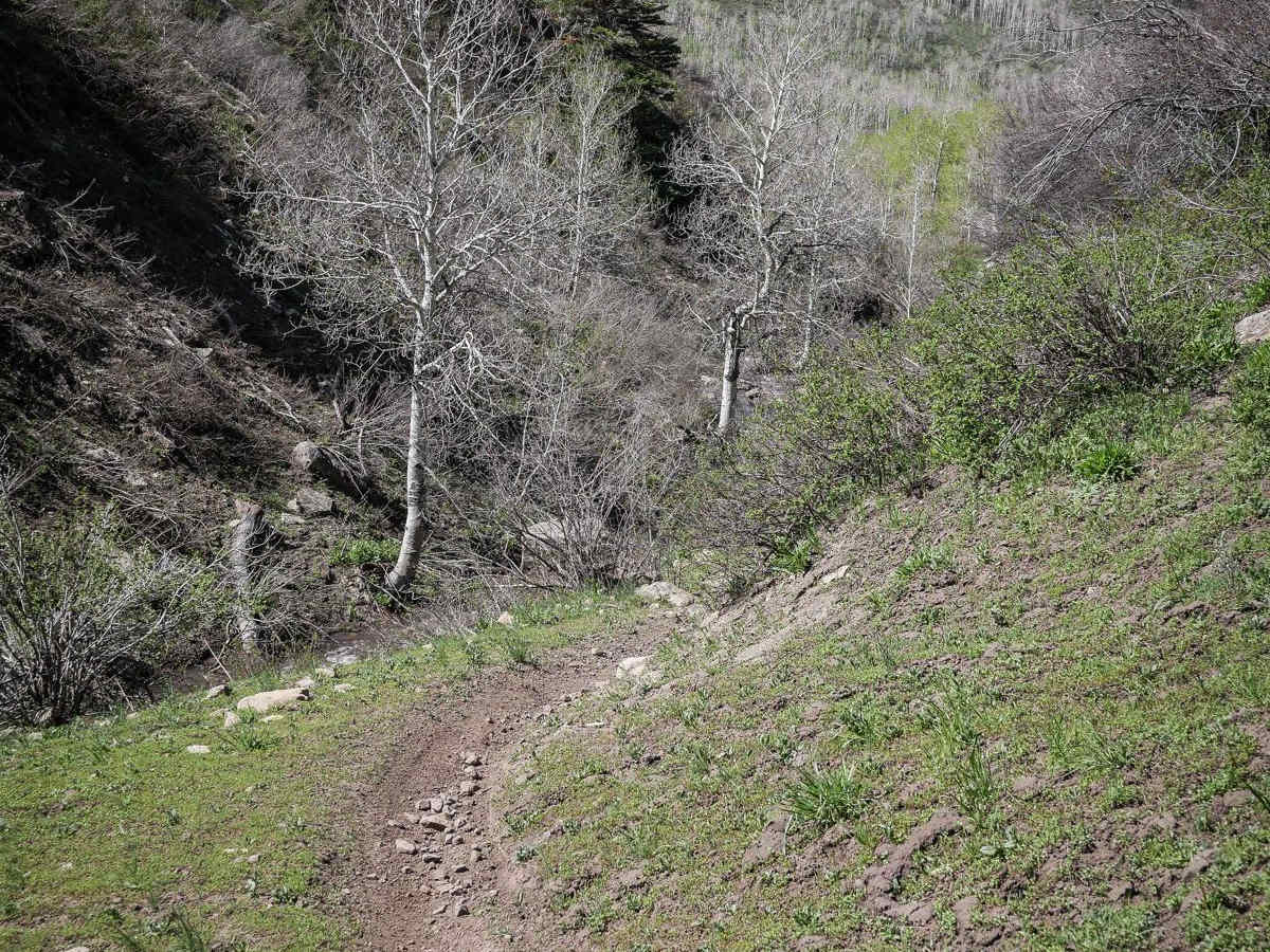
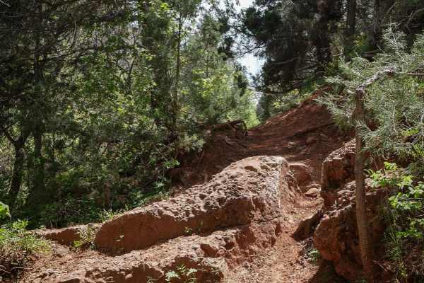
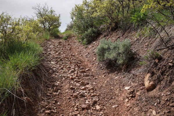
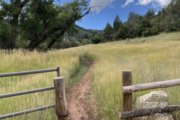
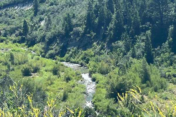
Cottonwood Second Water is a 7.6-mile-long single track in the Uinta National Forest southeast of Provo, Utah. It goes between the Center Gwt single track and Diamond Fork Road, crossing Sheeps Creek-Rays Valley Road and First Water Road along the way. The trail parallels Second Water Creek the entire way, sometimes going right along the creek at the bottom of the drainage, and sometimes elevated above it on a narrow trail with more exposure that you need to be cautious on. It has several creek crossings that should be easy and shallow even in the spring season since this isn't that big of a creek. There are lots of fast trail sections through trees and bushes in the gully below the rolling green hills. The trail is really nice and maintained, with no whoops. A lot of the trail is smooth, but there are sections with big embedded rocks and boulders that add a challenge. The trail mostly goes through a drainage, but has some unique sections with more red rock and red dirt, and bigger boulders lining the trail. There's potential for small downed trees and branches as it goes under a lot of trees. As you go west, the trail goes through beautiful sagebrush-covered hillsides and comes to one harder spot with some off-camber exposure on a side hill where you don't want to low-side. This spot would be more difficult if going west to east because it has loose rock and dirt on a really steep slope.
Difficulty
This is an intermediate alpine single track that has shelfy and narrow sections elevated above a creek, with frequent embedded rock, and has one harder spot on the west end that is particularly steep and loose with exposure.