Capitol Gorge Road

Total Miles4.6
Technical Rating
1Easy
Best TimeSpring, Summer, Fall, Winter
Trail TypeFull-Width Road
Accessible By
Open Trail Map

Trail Overview

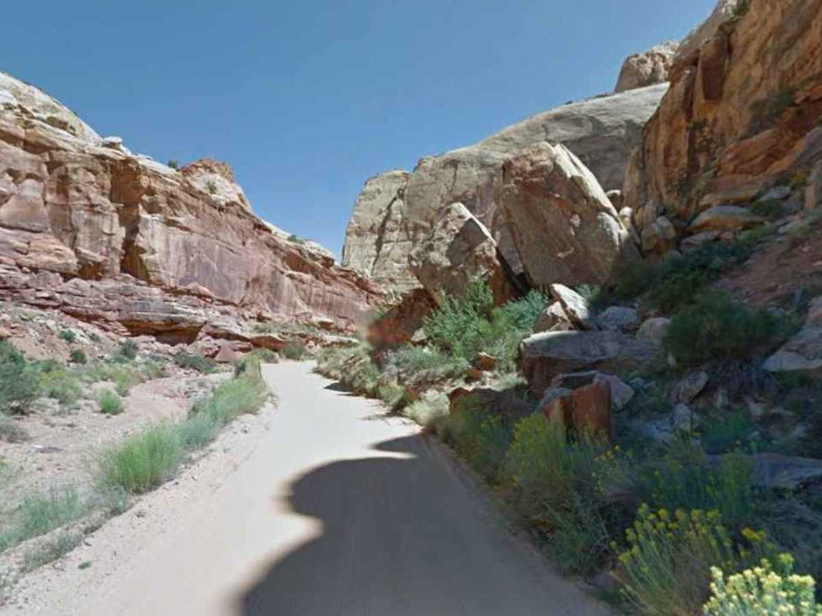
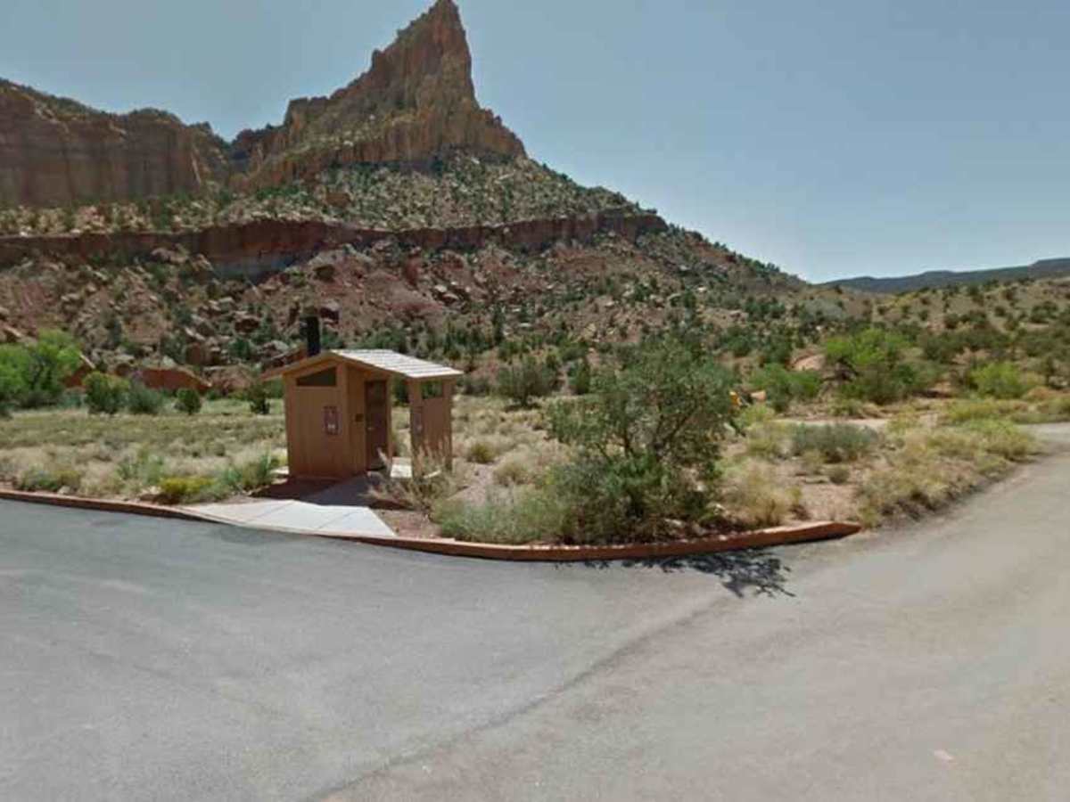
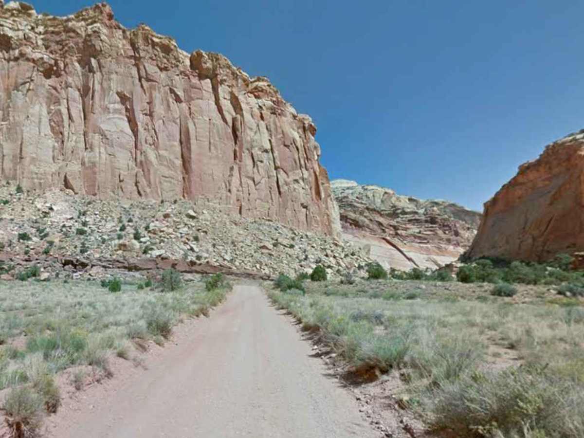
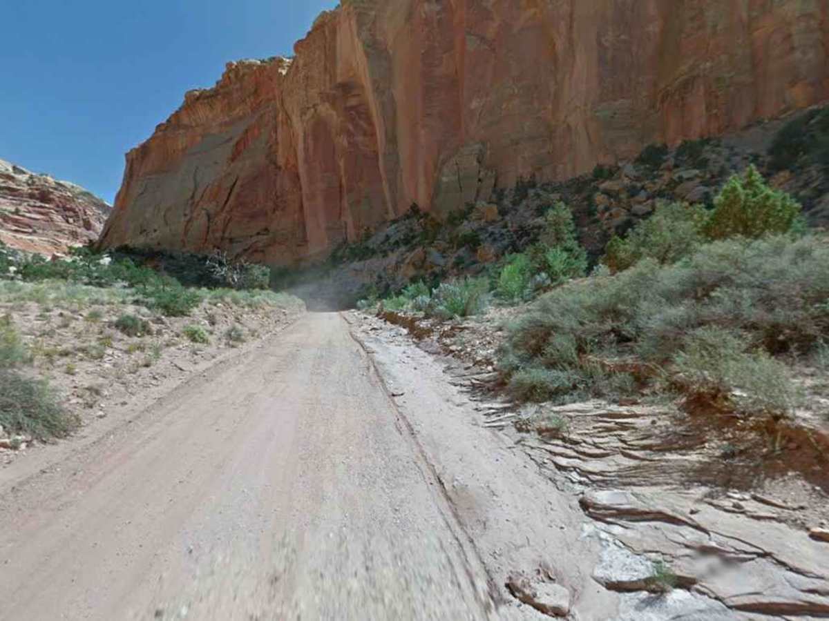
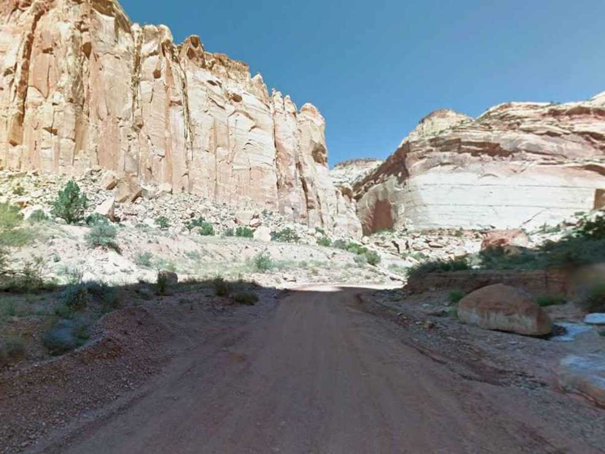
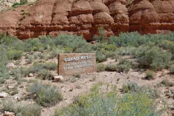
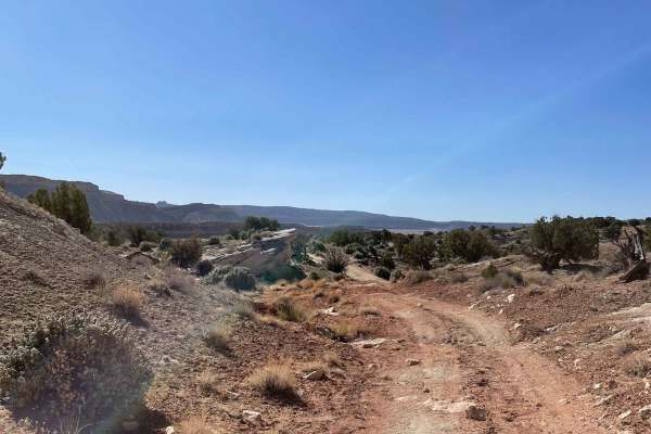
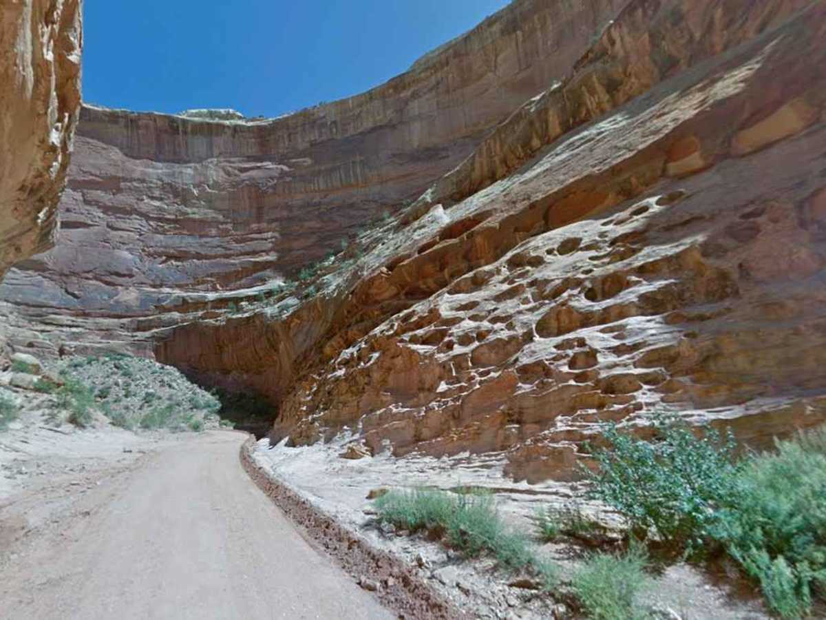
Capitol Gorge Road is a 2.3-mile (4.6-mile round trip) out-and-back trail rated 1 of 10, located within Capitol Reef National Park (fee required). This trail is one of several in the park that leads to historic travel ways used by both early natives and the original settlers on the western migration. Capitol Gorge Road is a dirt and gravel, well-maintained trail that generally is passable for all 2WD and 4WD vehicles and allows RVs under 27 feet. The trail can become muddy in spots during and after significant rain. Because the trail runs through a canyon, it is subject to flash flooding. The trail winds along a wash with sandstone cliffs towering above. The trail ends at a turn-around parking lot and hiking trailhead. Historically, the trail continued all the way through the reef and was open to traffic as late as 1964. There was no cell phone service along the trail. is intermittent. The nearest fuel services are located in Torrey. The trail is open year-round but may be closed by the park service during periods of heavy rain.

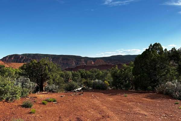
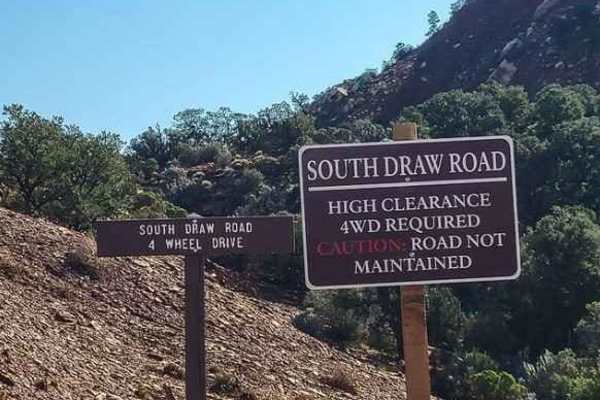
Photos of Capitol Gorge Road

Difficulty

This diirt road is maintained for passenger vehicles and moderately sized RVs.

History

The road was built in 1884 as a way to pass across the reef and was used until 1962, when Highway 12 was built.

Technical Rating

1

Capitol Gorge Road Trail can be accessed by the following ride types:

  • High Clearance
  • Full Width

Capitol Gorge Road Map

The onX Offroad Difference

onX Offroad combines trail photos, descriptions, difficulty ratings, width restrictions, seasonality, and more in a user-friendly interface. Available on all devices, with offline access and full compatibility with CarPlay and Android Auto. Discover what you're missing today!

Open Trail Map