Bridger Jack Mesa

Total Miles 16.4
Technical Rating
3 Easy
Best Time Spring, Summer, Fall
Trail Type Full-Width Road
Accessible By
Open Trail Map

Trail Overview

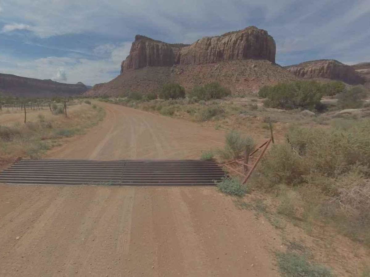
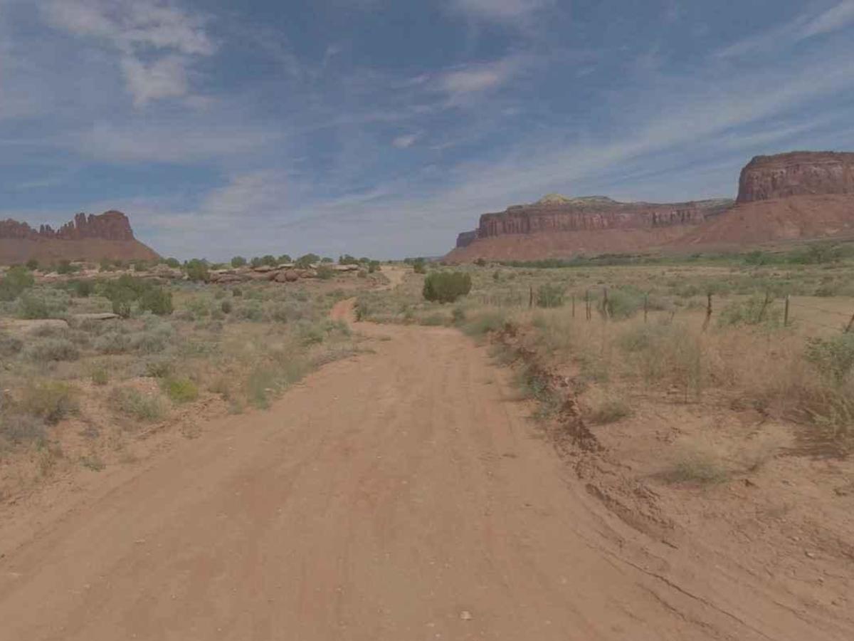
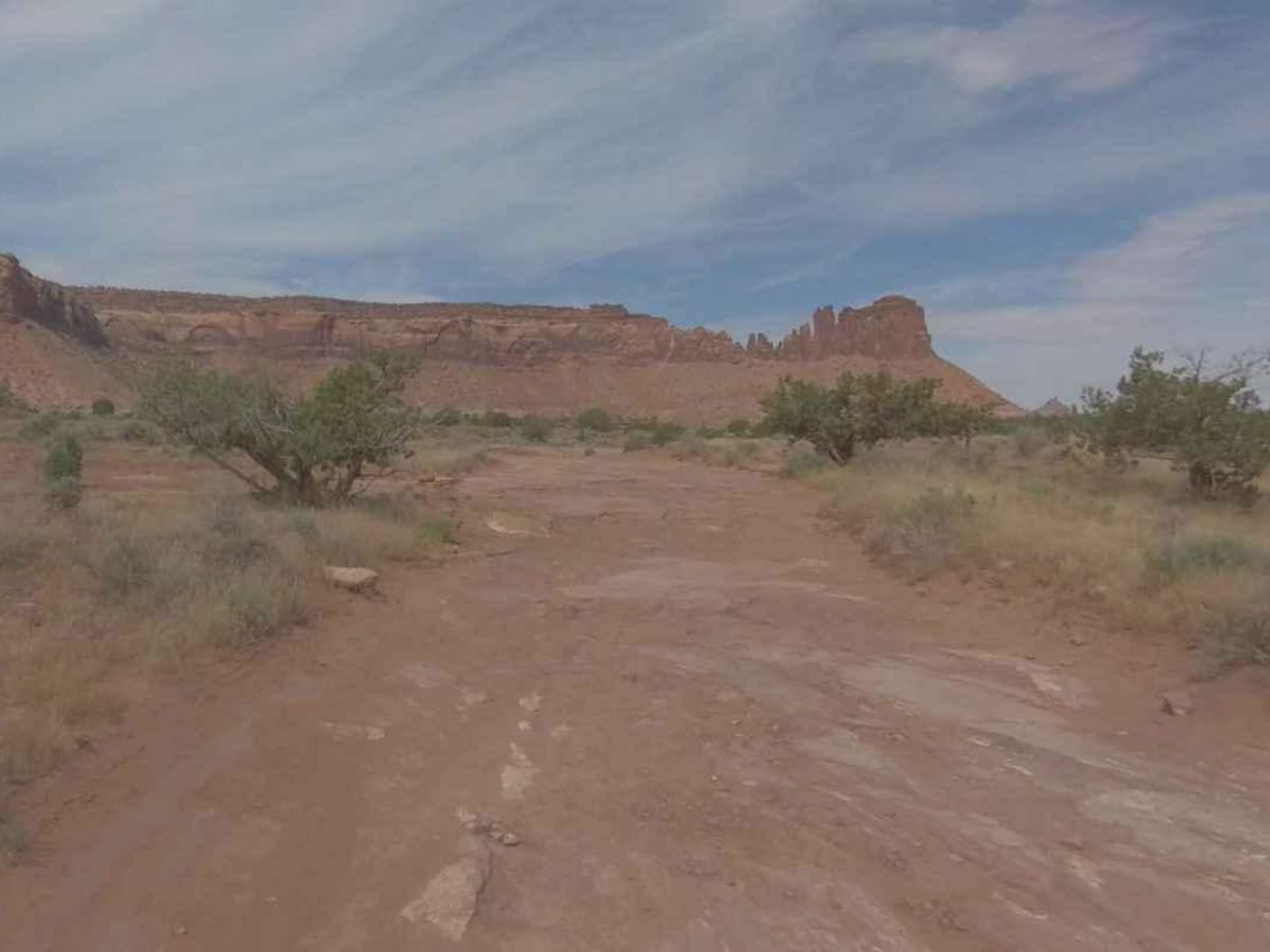
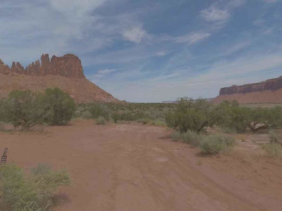
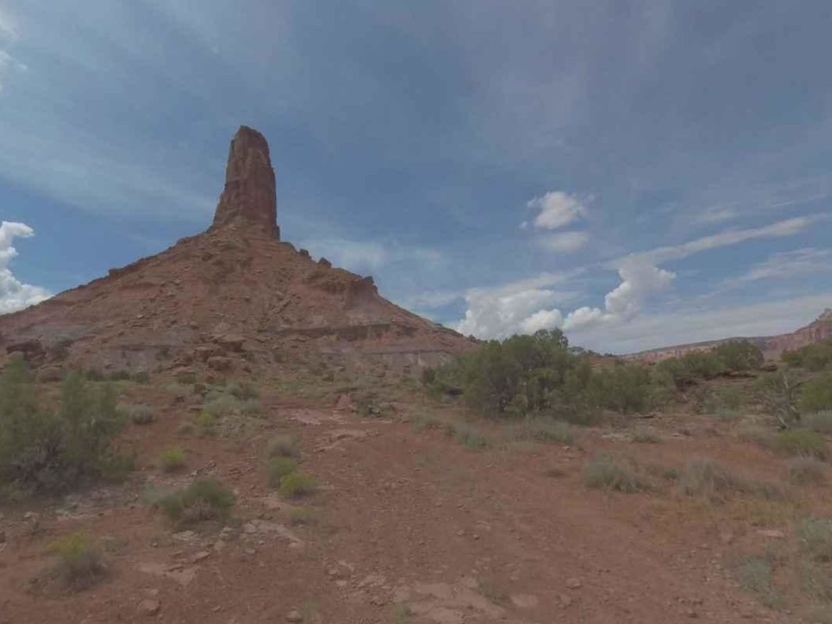
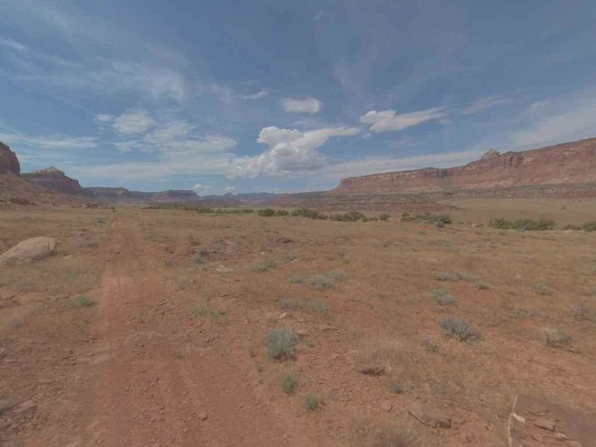
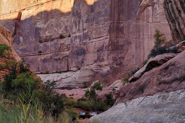
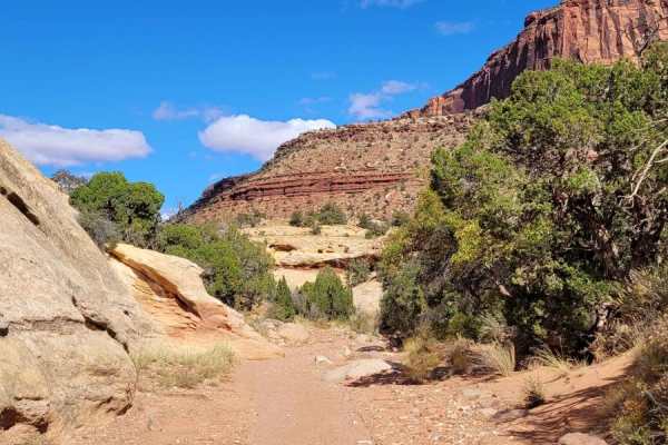
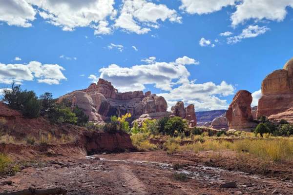
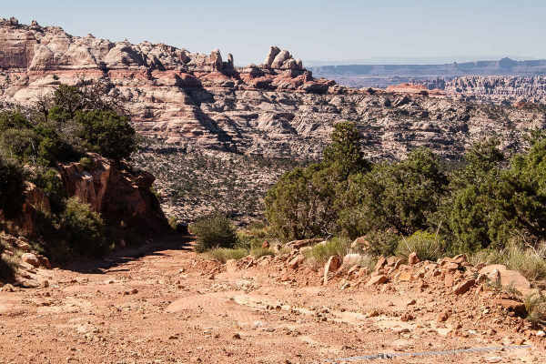
Bridger Jack Mesa is a 16-mile point-to-point trail rated 3 of 10 located within the Bear Ears National Monument. The trail consists mostly of hard-pack dirt, sand, and a few rocky sections. From the staging area at the intersection of Park Highway and Beef Basin Road head west until you cross the cattleguard then turn immediately sharp right. This is the beginning of the Bridger Jack Mesa trail. 16 miles later the trail will end at the intersection with Bridger Jack Road. Sections of the trail can be quite narrow and may challenge drivers of full-size rigs. Several areas along the trail which have large flat rock faces are popular with the rock-climbing community. The Bridger Jack Mesa trail is located in San Juan County Utah approximately 35 miles North West of Monticello. The plateau above is a designated Wilderness Study Area (WSA) bordered on the west by this trail and on the east by Bridger Jack Road. Vehicular travel on the plateau is prohibited. The Wilderness Study Area (WSA) is an elongated unit about 10 miles long from north to south, and a little more than 2 miles from east to west at the widest point. Located in the Canyonlands section of the Colorado Plateau Physiographic Province, Bridger Jack Mesa is bounded by spectacular orange-red cliffs. The WSA is in a natural state and has outstanding opportunities for solitude and primitive recreation. The nearest services are in Monticello to the south and Moab to the north. The closest hospital is the San Juan Hospital in Monticello. Much of the Bears Ears area does not have cell service.

Photos of Bridger Jack Mesa

Difficulty

Trail consisting of loose rocks, dirt, and sand with some slick rock surfaces, mud holes possible, no steps higher than 12". Narrow sections may prove challenging for full-size vehicles.

History

The story of Bridger Jack is that he was a Paiute (also spelled Piute) Indian medicine man who attempted to cure William Posey's (1923's "Last Indian War") sick child; the boy died and Bridger Jack was killed for his failure.

Technical Rating

3

Status Reports

Add Status Report
Matthew Karren
Jun 06, 2026
Open
This is definitely not a 3 out of 10. Extreme narrow shelf roads with lovely bumper boulders to through your backend towards the cliffs. Absolutely beautiful and amazing views but holy $!&? Your pants may be brown after squeezing through some serious exposure. Don’t even have pictures of the worst parts because the car was silent as I crawled through those sections.
Cory Noonan
Mar 11, 2026
Open
Nice and dry
David Thomas
Oct 18, 2025
Open
Mind the green line while outbound. You want to ride through the second half of the campground; if you fork right instead, the difficulty increases considerably and becomes impassable for anything larger than a SXS
Paul Cowles
Sep 20, 2025
Open
I agree with other reviewers that this is not an easy trail for a full size SUV. Definitely has some dodgy narrow bits where one could get into serious trouble. I agree no steps beyond 12 inches but some very steep runs and very narrow washout where you must hug the side. Got some adrenaline flowing. Truly beautiful scenery along Canyonlands NP boundary.
David Harlan
Sep 09, 2025
Open
Extreme shelf roads. Sometimes tire placement was 12-18 inches from edge. If you meet someone coming the other way there are few places to allow passing. Someone is going to back up in a narrow shelf.
Bryan Gub
May 22, 2025
Open
It is definitely not rated correctly. Should be a red trail because of the narrowing shelf road sections. Tight turns and little room. Made it with two Tacoma’s and a jeep today. It was sketchy!!
Jake Major
Apr 27, 2025
Open
Not an easy trail - way more exposed and narrow than what you’d think. Trail has clearly been washed out with some super narrow and rocky high consequence sections. Don’t take anything bigger than a side by side.
Nate Williams
Apr 27, 2025
Open
A lot of exposed edges, pretty washed out by rain/elements, some very tight spots for full size vehicles. Pretty views and cool spots but should be aware that high clearance is needed and more technical than you would expect.
Ryan Bryce
Oct 27, 2024
Open
Came in off the highway on the west side. Recent storm has taken out sections of the road with gate barely functional and hanging on for dear life. Gate is unable to be fully secured. Some sections should be taken with extreme care an may not be passable for anything larger than a dirt bike or small side by side.
Scott Free
Sep 20, 2024
Open
The Jack Bridger Mesa trail is depicted as a loop. Once you turn off the highway you can make a right turn and take this loop counter clockwise. It should not be depicted as easy, nothing larger than a side by side should attempt the west side of the loop. The east side is well maintained and is easy.

Bridger Jack Mesa Trail can be accessed by the following ride types:

  • Single Track
  • 50 Inch
  • 60 Inch
  • High Clearance
  • Full Width

Bridger Jack Mesa Map

The onX Offroad Difference

onX Offroad combines trail photos, descriptions, difficulty ratings, width restrictions, seasonality, and more in a user-friendly interface. Available on all devices, with offline access and full compatibility with CarPlay and Android Auto. Discover what you're missing today!

Open Trail Map