South Carolina Adventure Route Segment 5

Total Miles 244
Technical Rating
2 Easy
Best Time Summer, Fall, Spring, Winter
Trail Type Full-Width Road
Accessible By
Open Trail Map

Trail Overview

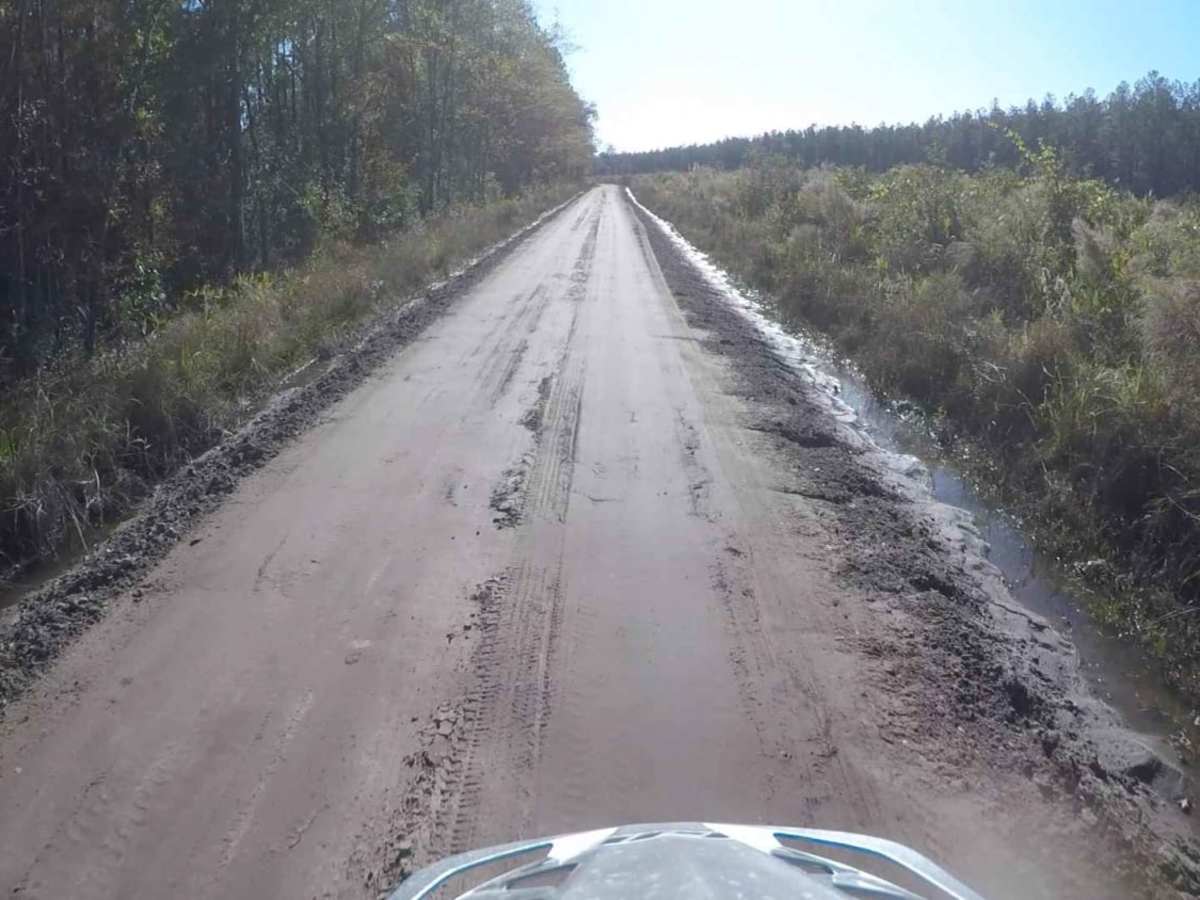
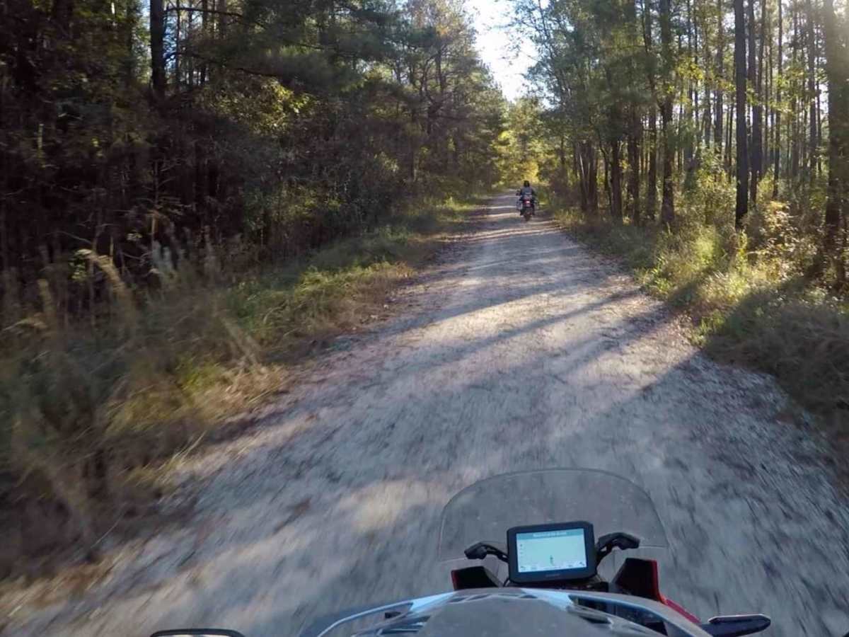
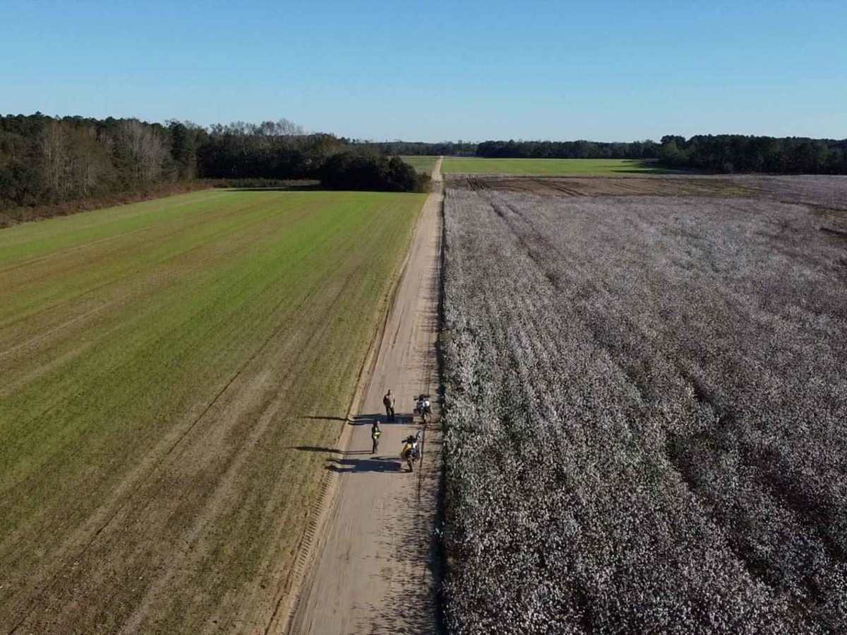
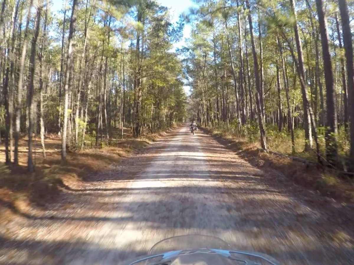
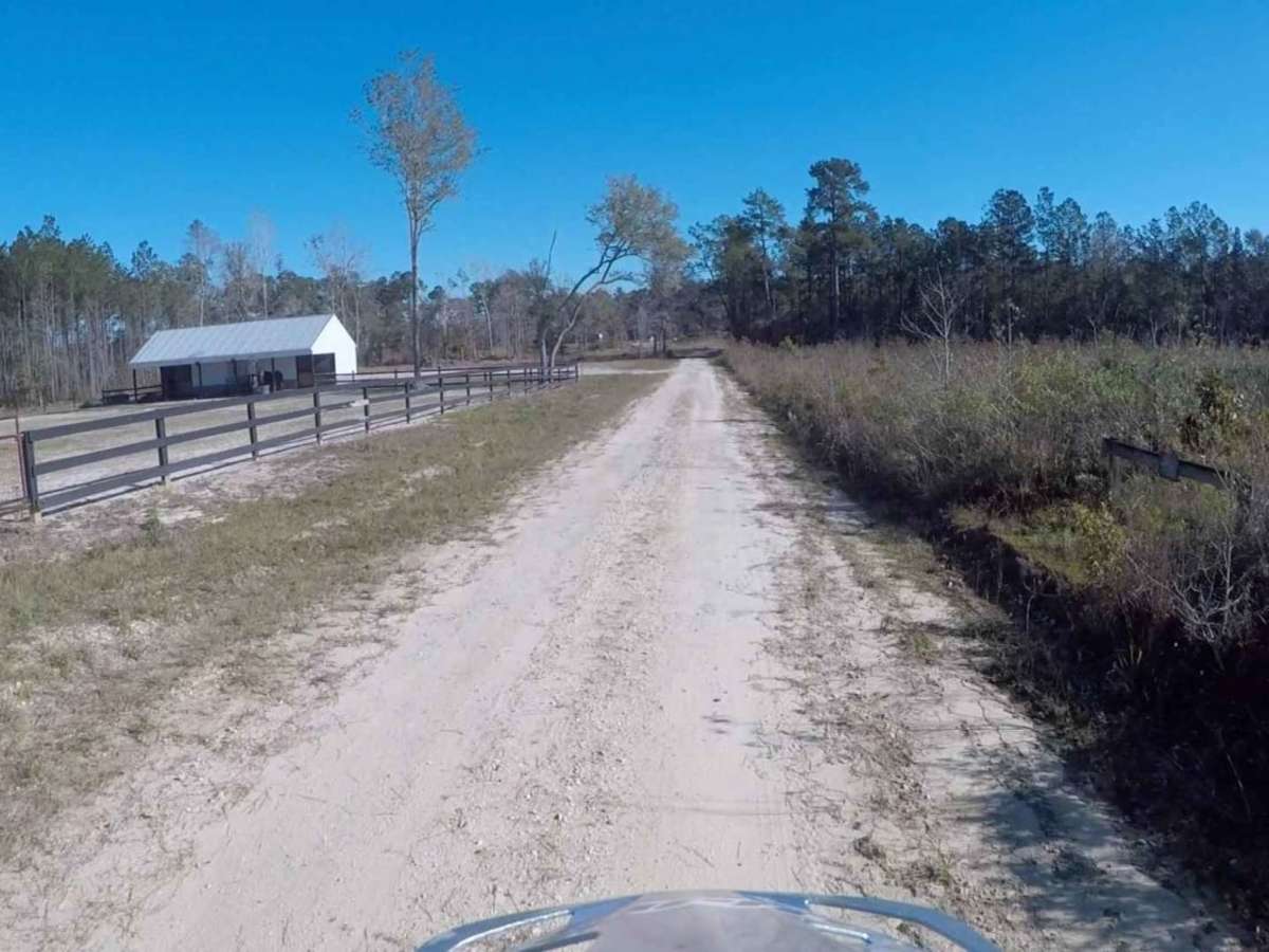
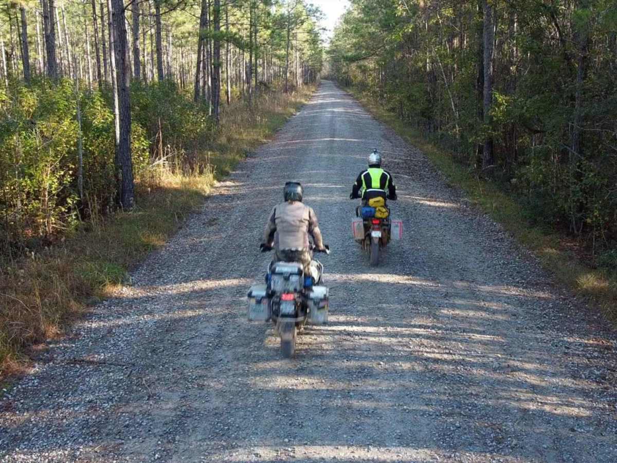
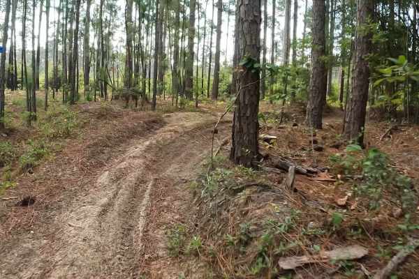
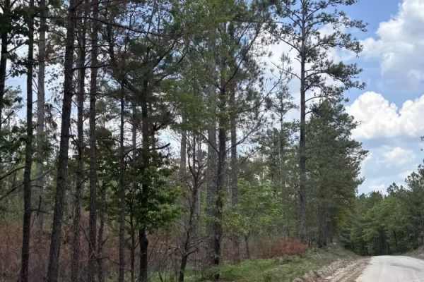
Segment 5 is the longest section of the SCAR Loop, and stretches between the towns of Camden and St George. The north end of this segment briefly passes through what is known as the "Sandhills" region of the state. You will most likely encounter sand between Hwy 378 and I-95, in the general area of Poinsett State Park. In dry conditions the sand can be loose and in places deep, so air-down and use caution when traversing this area. This segment also passes through Francis Marion National Forest and skirts Charleston, all on the coastal plain, where roads are flat and a mix of on/off pavement. About the SCAR: The South Carolina Adventure Route loops through approximately 1,000 miles of rural South Carolina. Along this route, you'll enjoy the Blue Ridge Mountains, the Atlantic Ocean, diverse forests, cotton fields, state parks, historical sites, and quaint towns. The SCAR also connects to the Smokey Mountains 500, the Georgia Traverse, and the Trans-America Trail (TAT), providing riders on those trails with a scenic route to the Atlantic coast at Edisto Beach. The roads along the SCAR are a mix of pavement and dirt, 60% and 40% respectively, with the surface alternating between gravel, dirt, clay, and sand. The route is not exceptionally technical, but dry conditions can leave the sandy roads loose, while wet conditions can leave the mud and clay roads slick and rutted. Travelers should expect to encounter deep sand and sizable mud holes in the worst conditions.

Photos of South Carolina Adventure Route Segment 5

Difficulty

This route is largely graded roads with mixed-in pavement, however, the sand can become soft during hot conditions making riding difficult for motos.

Technical Rating

2

Status Reports

Add Status Report
Albert Hibpshman
Dec 20, 2024
Open
Mostly a gravel road with the exception of a muddy hole that had no bypass. Lots of debris in the mud hole, concrete blocks, boards, looks like some people were stuck previously.
Ryan S
Nov 03, 2024
Open
Blake Wright
Aug 02, 2024
Open
Jay Fitchpatrick
Jul 20, 2024
Open
On the Cane Gully part of the trail between Cane Gully A and Litchfield is definitely not stock friendly. Deep mud hole but there is a deep rutted work around. Also between Litchfield and Ackerman is not stock friendly. Deep ruts with mud. But after that was all stock friendly and no need for 4 wheel drive
Robert Shanks
Jun 29, 2024
Open
Had a great day off the beaten path. Passed through farm land and along forest roads. East drive with the family. We were in our Bronco and Jeep Rubicon. Road from Sumpter area then took a drive into Charleston. The entire segment of the trail was open and had very little traffic.
Steve P
Dec 06, 2023
Open
John Byrd
Aug 20, 2023
Open
Josh F
May 28, 2023
Open
Nathan Collier
May 15, 2023
Open
Stinson Carter
May 06, 2023
Open
Joe Diianni
Apr 29, 2023
Open
John stephens
Apr 22, 2023
Open

South Carolina Adventure Route Segment 5 Trail can be accessed by the following ride types:

  • High Clearance
  • Full Width

South Carolina Adventure Route Segment 5 Map

The onX Offroad Difference

onX Offroad combines trail photos, descriptions, difficulty ratings, width restrictions, seasonality, and more in a user-friendly interface. Available on all devices, with offline access and full compatibility with CarPlay and Android Auto. Discover what you're missing today!

Open Trail Map