SCAR Southeast Alternate

Total Miles 122.7
Technical Rating
2 Easy
Best Time Spring, Summer, Fall, Winter
Trail Type Full-Width Road
Accessible By
Open Trail Map

Trail Overview

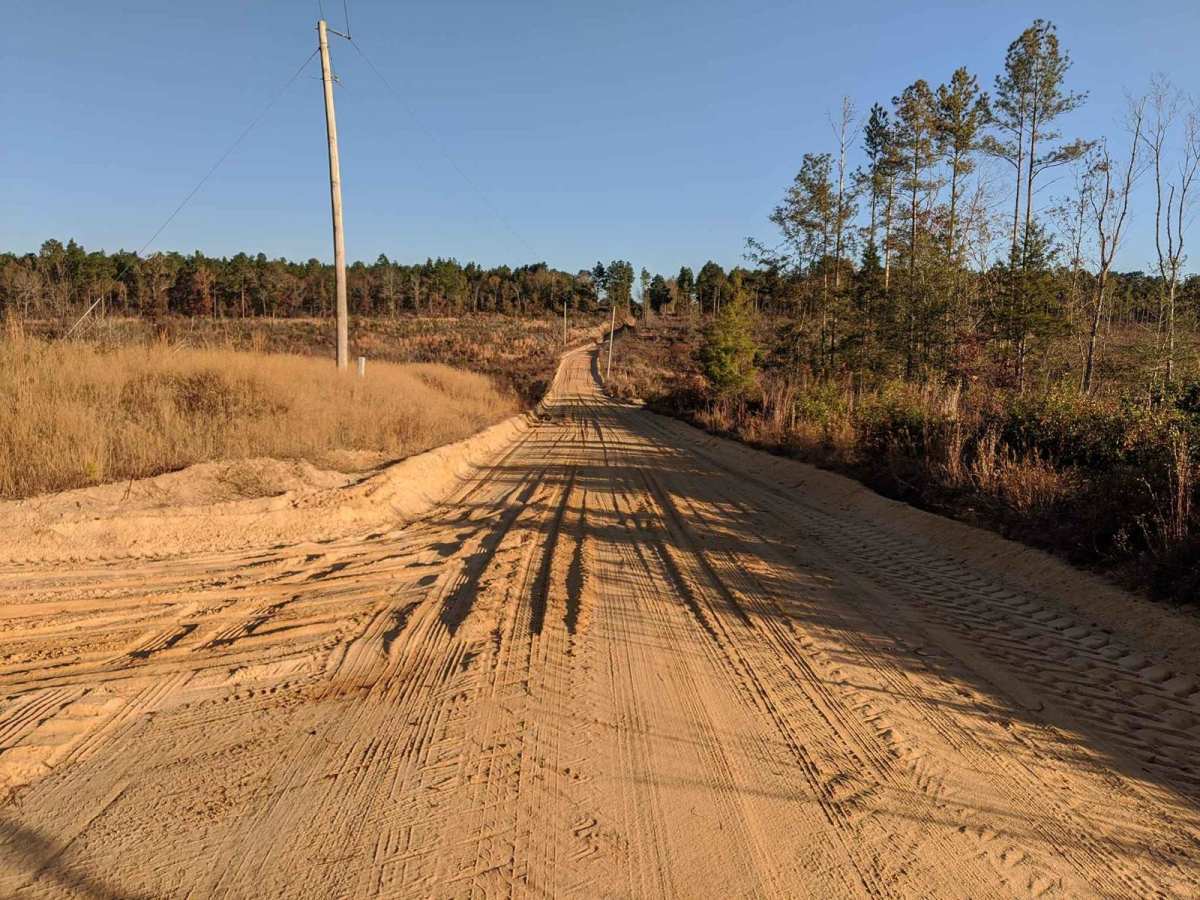
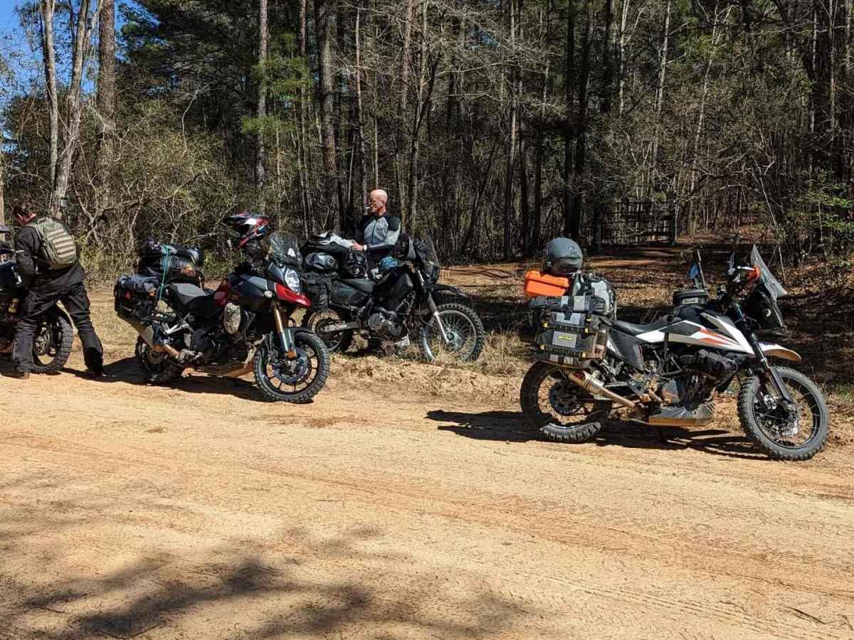
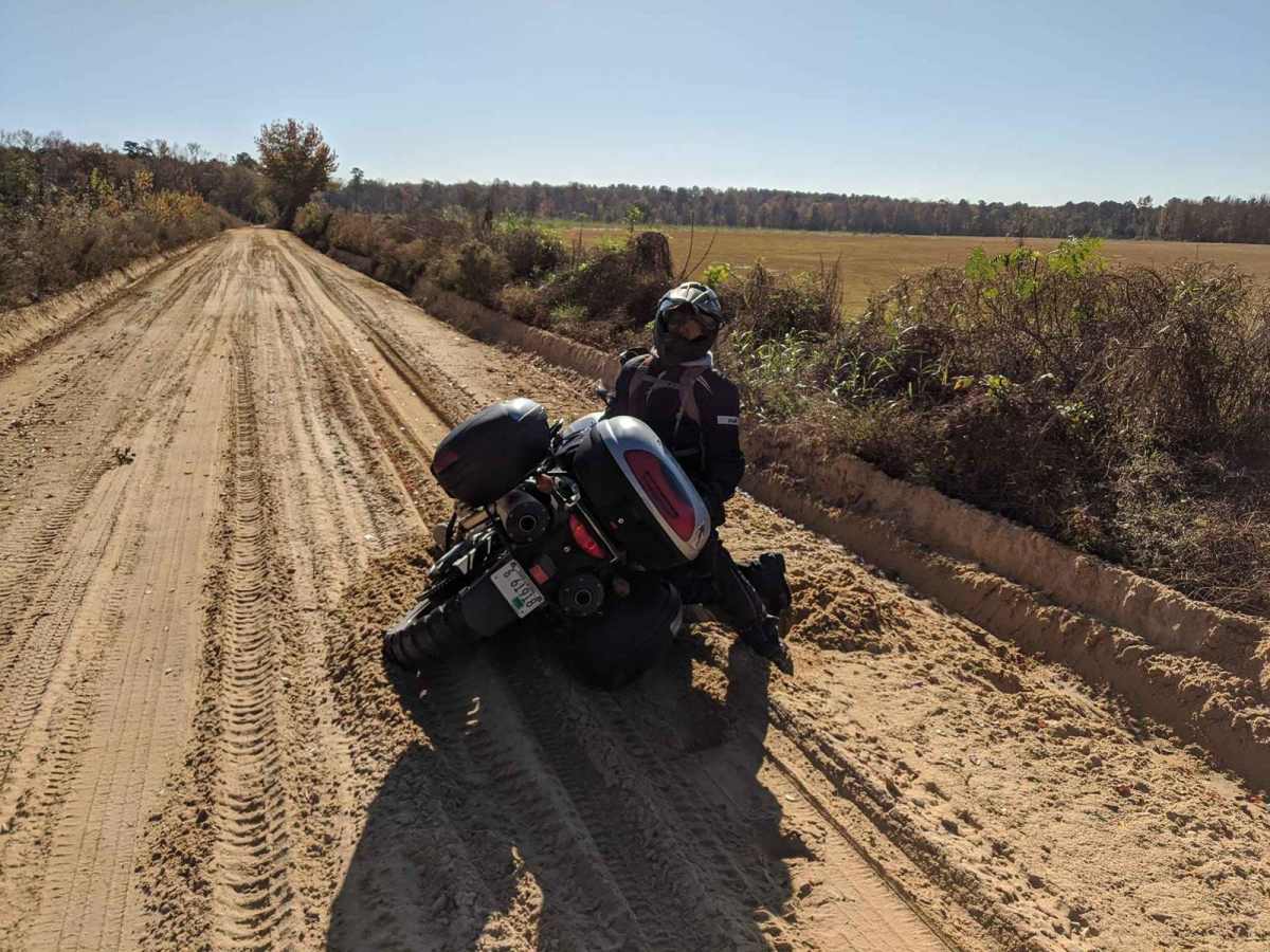
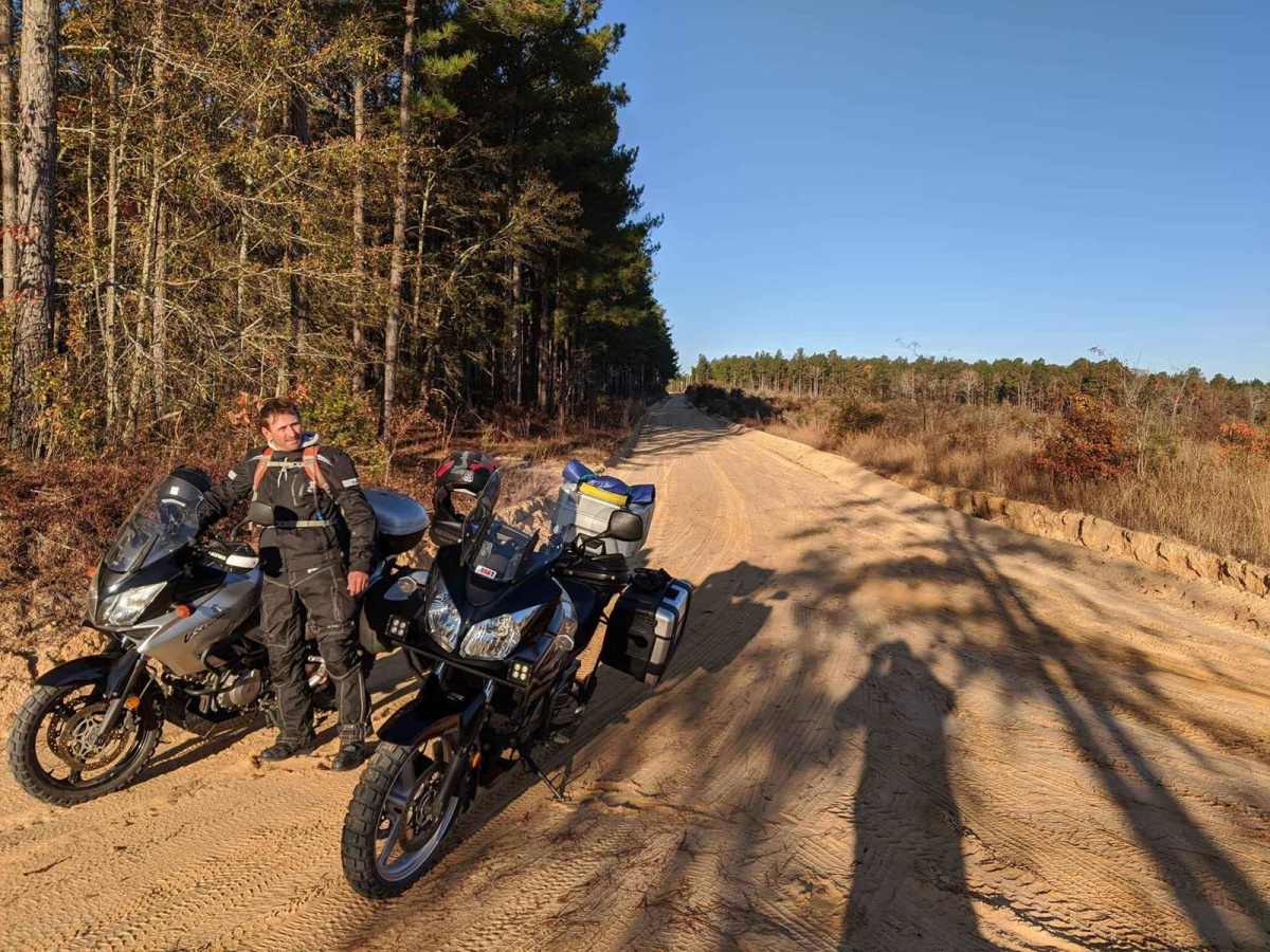
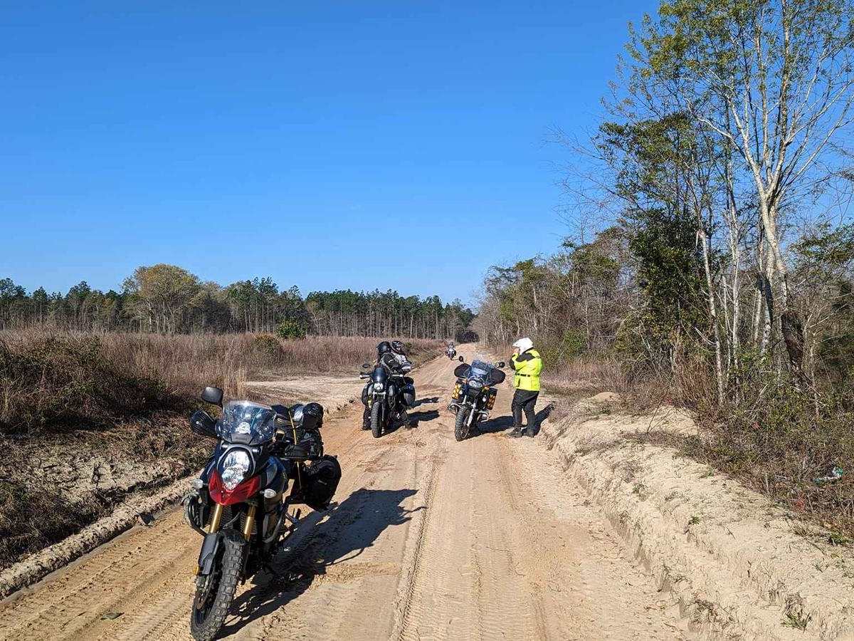
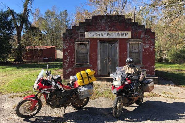
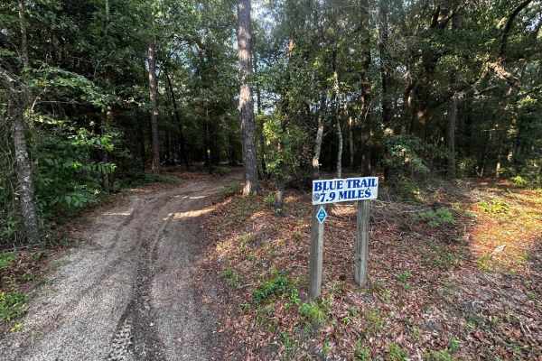
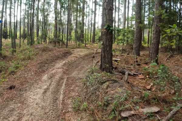
This route traverses the heart of the Sandhills region (which spans the state betwen Columbia and I-95), and it definitely delivers sand. It is approximately 80% off-pavement, and some of the sandy sections can be very loose and deep when conditions are dry. It also passes through some quaint towns and the Rivers Bridge Battlefield historical site, which was part of General Sherman's sweep across the South. About the SCAR: The South Carolina Adventure Route loops through approximately 1,000 miles of rural South Carolina. Along this route, you'll enjoy the Blue Ridge Mountains, the Atlantic Ocean, diverse forests, cotton fields, state parks, historical sites, and quaint towns. The SCAR also connects to the Smokey Mountains 500, the Georgia Traverse, and the Trans-America Trail (TAT), providing riders on those trails with a scenic route to the Atlantic coast at Edisto Beach. The roads along the SCAR are a mix of pavement and dirt, 60% and 40% respectively, with the surface alternating between gravel, dirt, clay, and sand. The route is not exceptionally technical, but dry conditions can leave the sandy roads loose, while wet conditions can leave the mud and clay roads slick and rutted. Travelers should expect to encounter deep sand and sizable mud holes in the worst conditions.

Photos of SCAR Southeast Alternate

Difficulty

Sandy sections can be very loose and deep when conditions are dry.

Technical Rating

2

Status Reports

Add Status Report
Evan Maynard
Nov 23, 2025
Open
Road very washed out and marked as closed by county. Lifted 4x4 could possibly clear it.
paul bennett
Oct 28, 2025
Open
brdge closed with barriers and debris. Had to turn around. Fun so far.
Eric D
Feb 18, 2025
Open
I started at hwy20 (exit 33) and went south towards hwy95. Sadly, the road is block at Davis Bridge on Veterans Rd. I took Edisto Church Rd to 39 to reconnect to the trail. Thanks to the rain the soft sand was firm. It was a fun ride along this part of the SCAR.
xander dowd
Apr 13, 2024
Open

SCAR Southeast Alternate Trail can be accessed by the following ride types:

  • High Clearance
  • Full Width

SCAR Southeast Alternate Map

The onX Offroad Difference

onX Offroad combines trail photos, descriptions, difficulty ratings, width restrictions, seasonality, and more in a user-friendly interface. Available on all devices, with offline access and full compatibility with CarPlay and Android Auto. Discover what you're missing today!

Open Trail Map