Jackson elferdink
Jul 16, 2026
2015 Chevy Silverado
Open
Muddy/WetRough/DeterioratedWashboard
If you do not have an ATV or a heavily modified truck do NOT go onto Roger’s lake rd, it is completely washboarded and if you think you can make it through the first few puddles, turn around and go back because it keeps getting worse.
Sam Liu
Apr 25, 2026
2019 Ford Ranger
Open
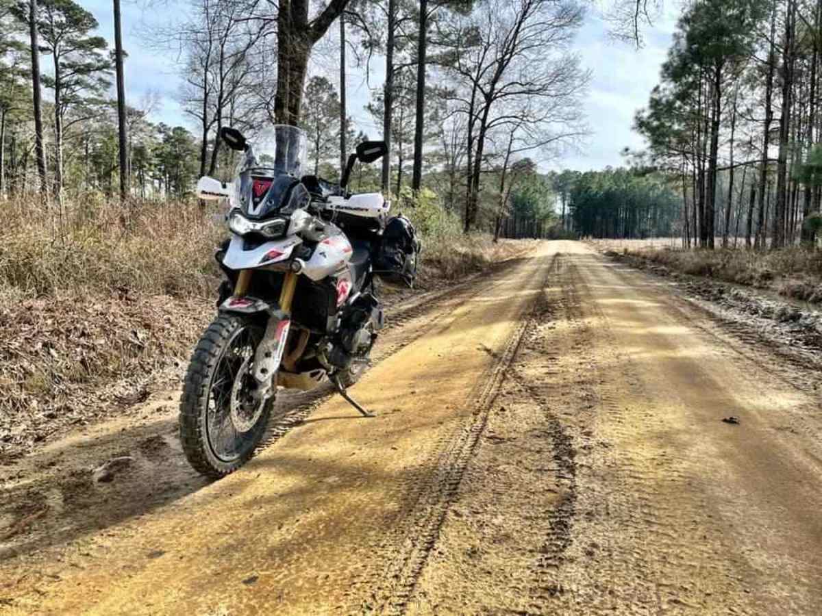
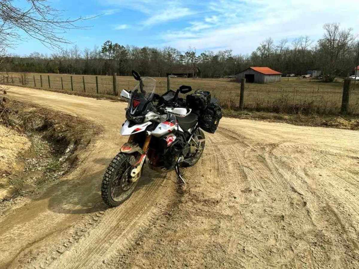
NormalDusty
The trail continues as a wide, sandy dirt road with a firm base and gentle curves, making for an easy and comfortable drive. The surface is mostly smooth with some loose gravel, but no major obstacles or deep ruts were observed. It passes through a mix of open fields and tall pine forest, with sections of shade and good visibility ahead.
Darin Jackson
Jan 18, 2026
2025 Jeep Wrangler
Open
Muddy/Wet
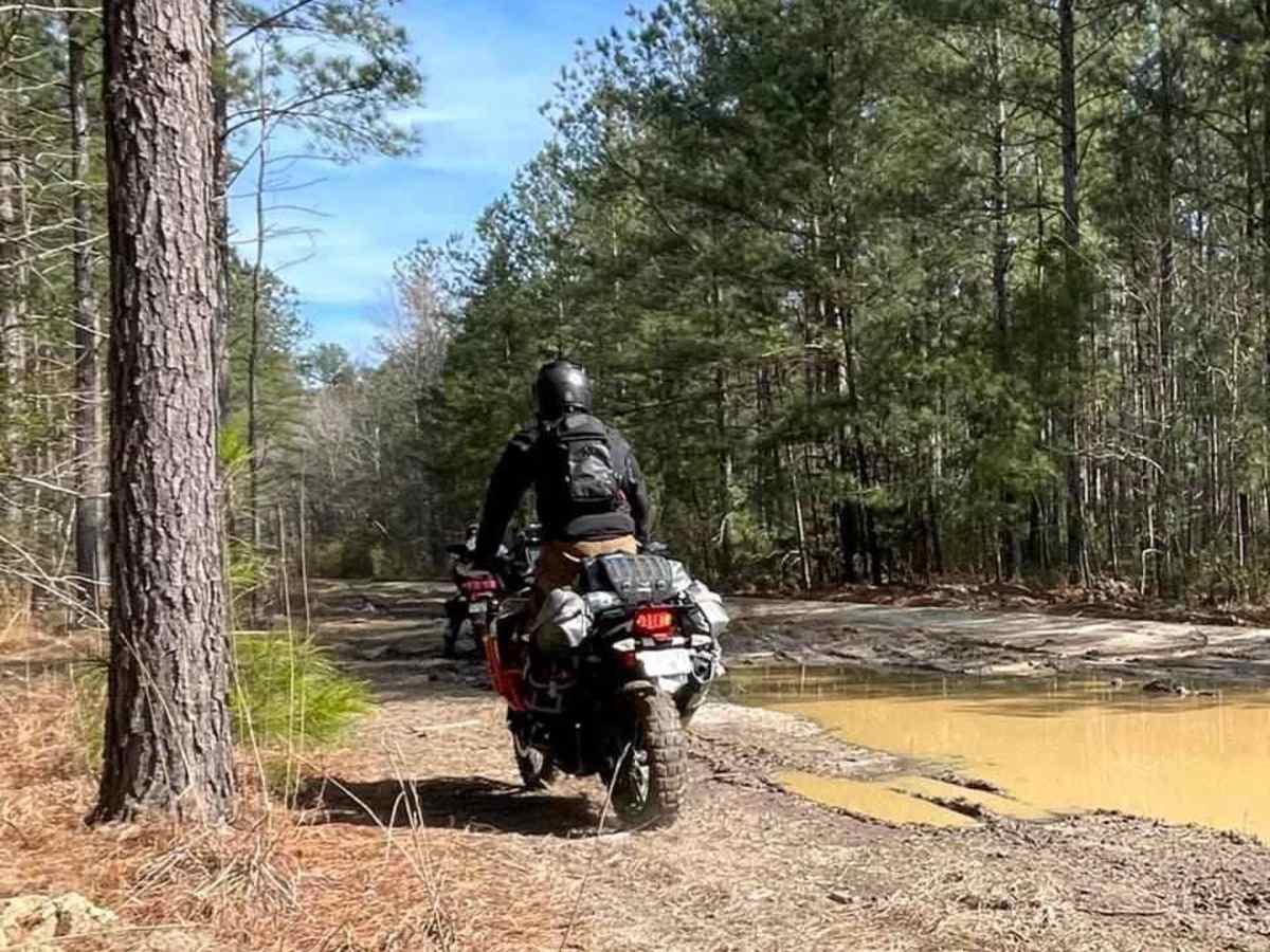
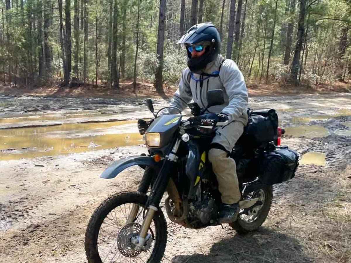
this was a very very muddy trail. It was my first time on the. SCAR and I saw videos where it can turn very mucky and sticky and trap your vehicle and that happened to me. Fortunately, I had just installed a winch about a month and a half ago and I was prepared, but it was very very precarious.
Walter Schield
Jan 12, 2026
2024 Toyota 4Runner ORP
Obstructed
Washout
Pending road closure
Ivan Konermann
Sep 07, 2025
Open
NormalDusty
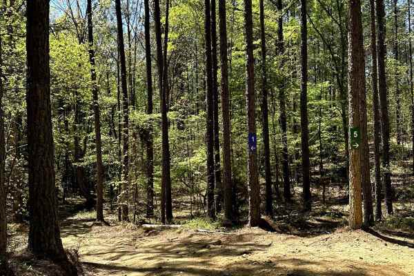
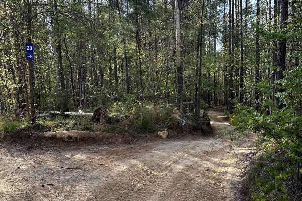
West end of this route was open. Wire road from Hwy 151 is open and there aren’t gates. Rode through the central part of the NWR and there were numerous side trails to check out. No one else was out there
Steve Klein
Aug 31, 2025
2022 Toyota 4Runner
Permanently Closed
Officially Closed SignPosted Private PropertyLocked Gate
Matthew Harrell
Jul 12, 2025
Obstructed
Downed Tree
Big tree down on Rachael rd at the little pond
Todd Tally
Feb 26, 2025
Temporarily Closed
Posted Sign
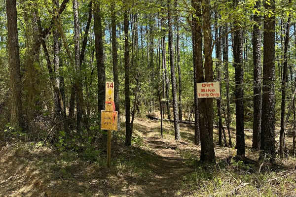
There is a special event in the Sand Hills State Forest area for Sandblast Stage Rally Event from the afternoon and evening of 2/28/25 through all day 3/1/25 and you may come across sections of closed road for this event. All sections are posted. Many sections of this route intersect with planned stages.
Cody Rogers
Nov 10, 2024
2019 Ford F-Series
Permanently Closed
Officially Closed Sign
Permanent closure at 34.38501, -79.79084. However you can rejoin at 34.39819, -79.80949 about a quarter mile up the trail.
Anthony Beasenburg
Nov 10, 2024
2019 Toyota Tacoma
Permanently Closed
Locked Gate
New closed and locked gate with private property and road closed signs located at 34.38501, -79.79084
John Williams
Nov 09, 2024
2022 Jeep Gladiator
Obstructed
Impassable Water Crossing
Deep mud hole at 34.13918, -79.38163. Don’t try it, you will get stuck.
De FreightTrain Ward
Nov 03, 2024
Open
DustyMuddy/WetRough/Deteriorated
Trail was good overall there was this one spot that somebody had tried to make it go around and I should’ve taken it. It was deep. I ended up having to winch myself out. My GPS didn’t put location. So I’m not sure where the spot is exactly.
Chris sigler
Jun 28, 2024
Temporarily Closed
Weather Event
xander dowd
Jun 08, 2024
Temporarily Closed
Posted Sign
Road at 344 Slabtown rd in sc closed
rob z
May 12, 2024
Obstructed
Washout
34.56327, -80.76807 culvert is washed out. Road is closed.