Parkers Ferry - SCAR Alternate

Total Miles 15.4
Technical Rating
2 Easy
Best Time Spring, Summer, Fall, Winter
Trail Type Full-Width Road
Accessible By
Open Trail Map

Trail Overview

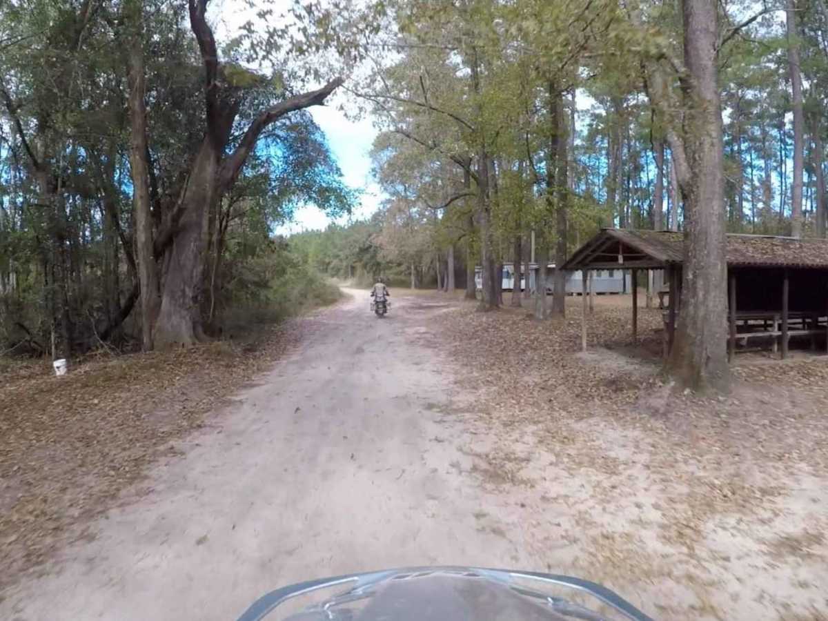
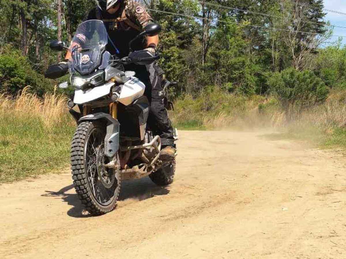
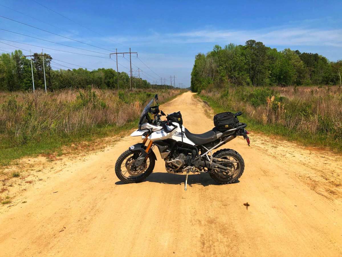
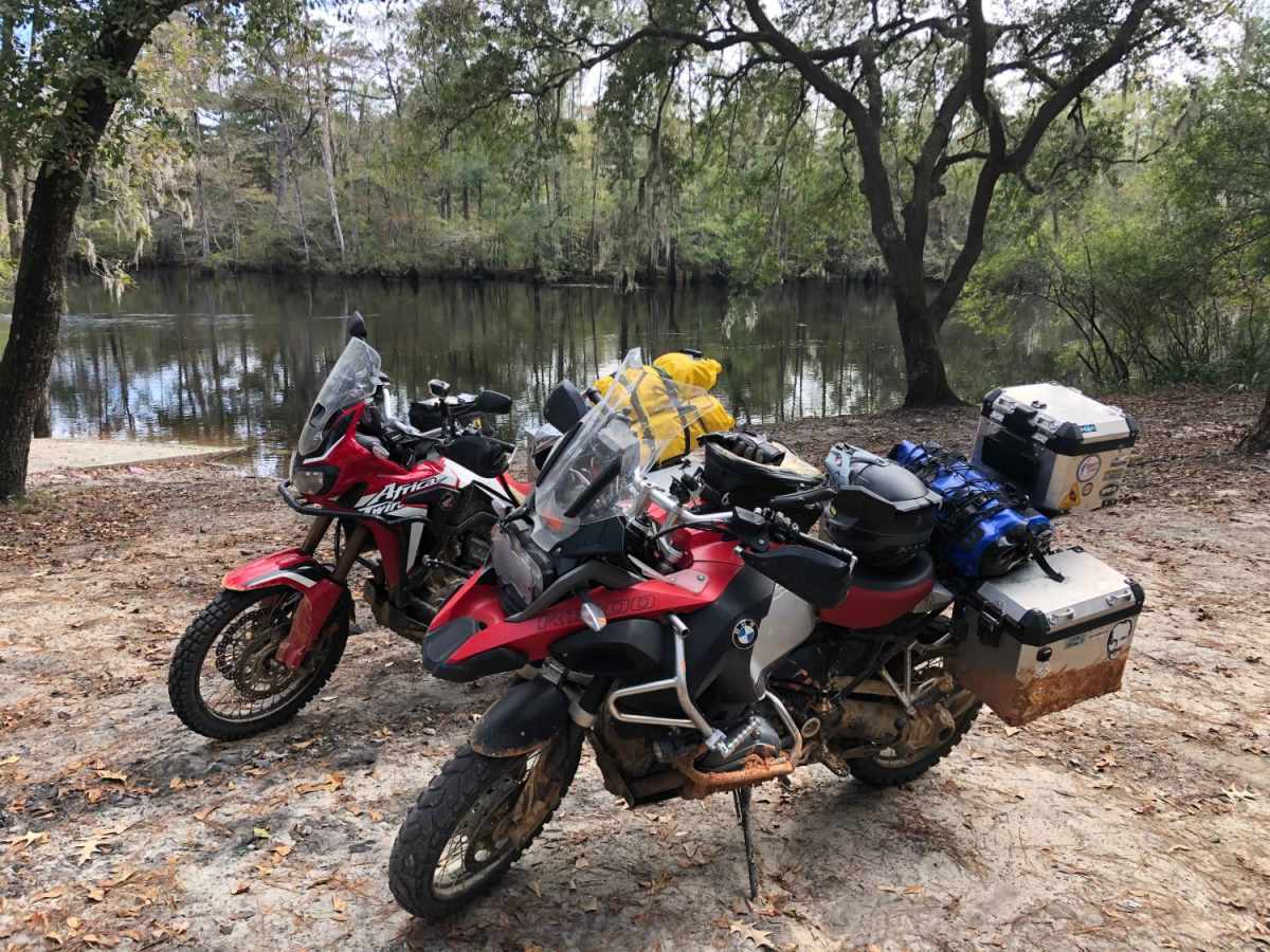
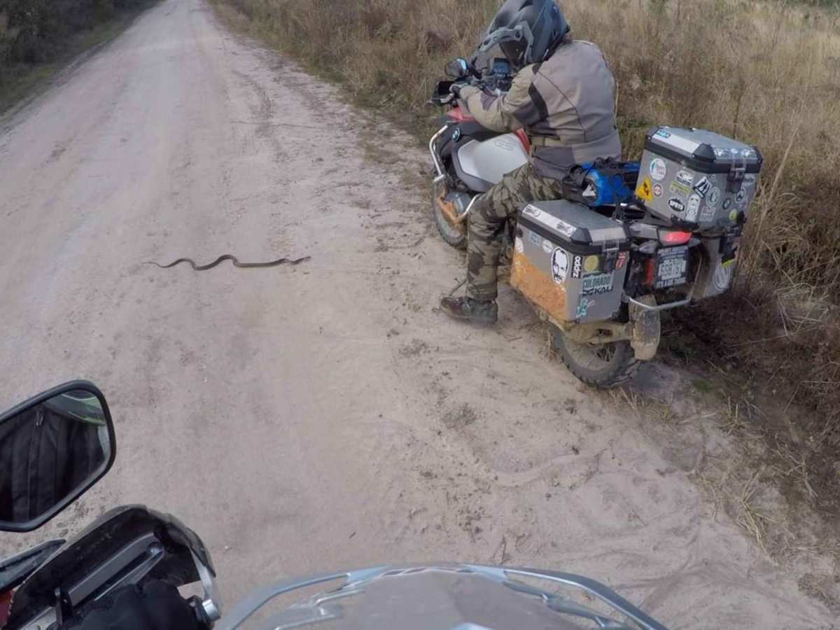
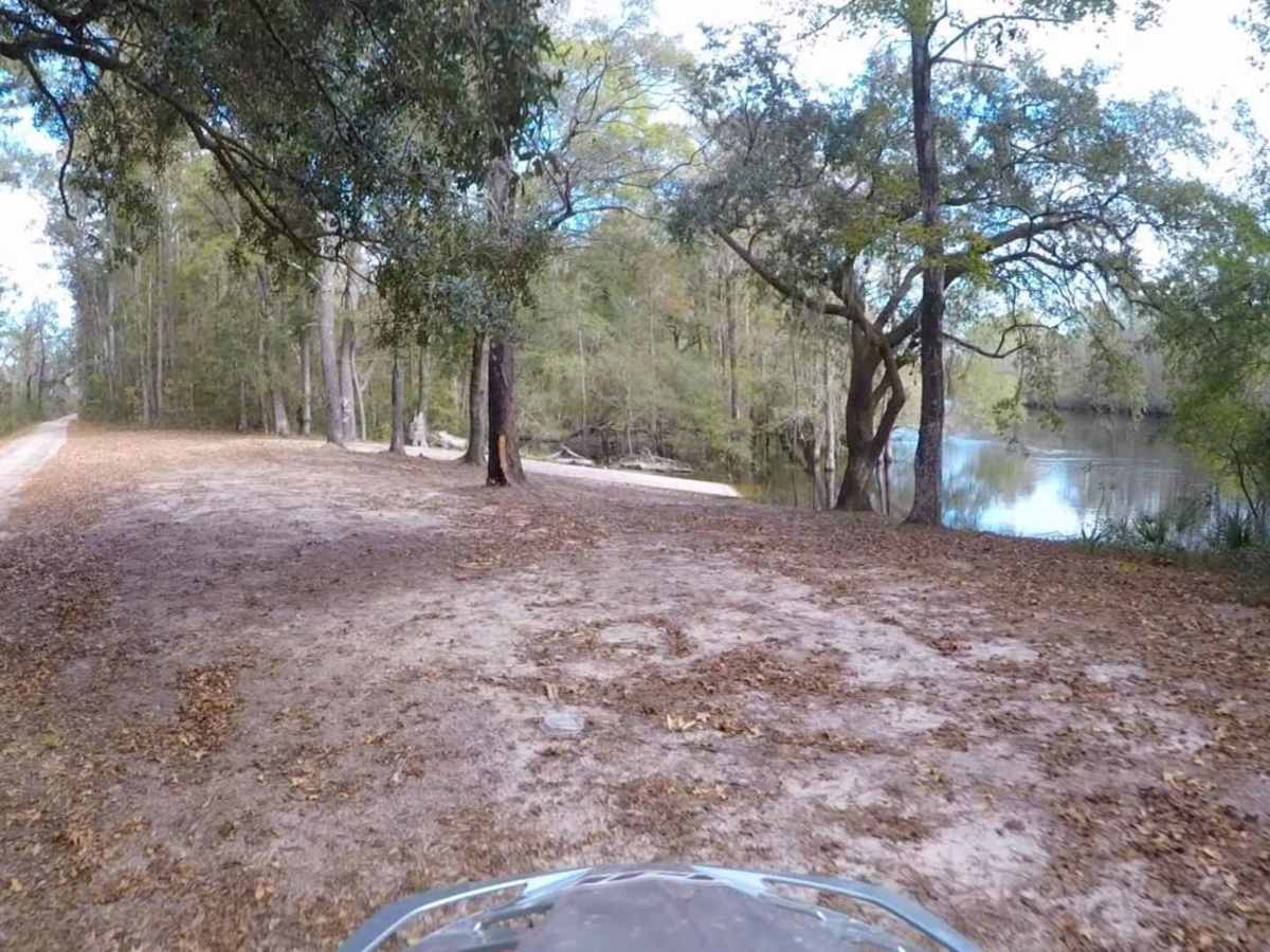
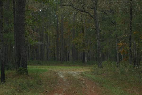
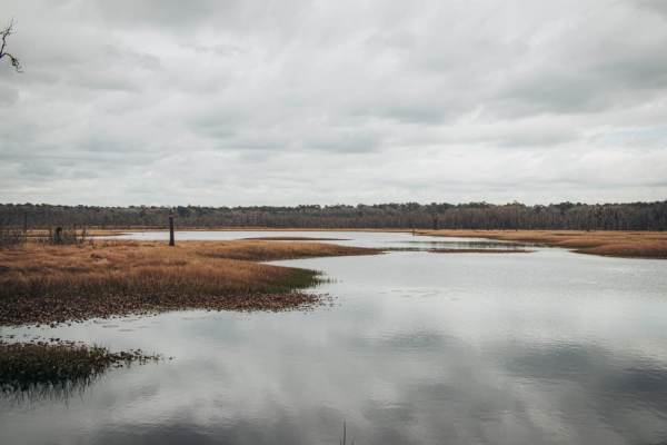
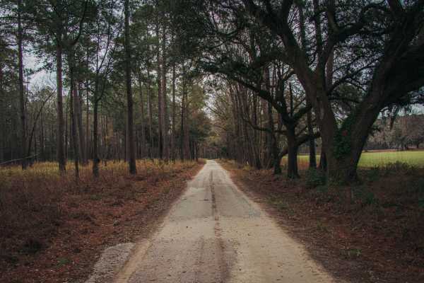
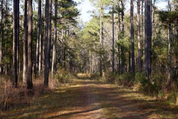
This route traverses some of the flat lowlands along the Edisto River (south/west side of the river). When dry, this segment will contain hardened ruts that make for a bumpy ride or if deep enough, a difficult ride on motorcycles. When wet, it can become muddy and slick and many of the ruts can be hidden under puddles. Use extreme caution under these conditions. Logging operations and 4x4 activity can sometimes increase imperfections. Note: There are two "Parkers Ferry" roads in this area. This route is on the south/west side of the Edisto River. About the SCAR: The South Carolina Adventure Route loops through approximately 1,000 miles of rural South Carolina. Along this route, you'll enjoy the Blue Ridge Mountains, the Atlantic Ocean, diverse forests, cotton fields, state parks, historical sites, and quaint towns. The SCAR also connects to the Smokey Mountains 500, the Georgia Traverse, and the Trans-America Trail (TAT), providing riders on those trails with a scenic route to the Atlantic coast at Edisto Beach. The roads along the SCAR are a mix of pavement and dirt, 60% and 40% respectively, with the surface alternating between gravel, dirt, clay, and sand. The route is not exceptionally technical, but dry conditions can leave the sandy roads loose, while wet conditions can leave the mud and clay roads slick and rutted. Travelers should expect to encounter deep sand and sizable mud holes in the worst conditions.

Photos of Parkers Ferry - SCAR Alternate

Difficulty

This road is generally easy, however, logging activity can lead to deep ruts which can make things challenging for motorcycles especially.

Technical Rating

2

Status Reports

Add Status Report
Dustin Ryan
Jan 11, 2026
Open
Few muddy holes but overall fine.
Jackson Swails
May 16, 2025
Open
Relatively even terrain. Muddy puddles tend to accumulate, but only one wasn’t avoidable. Overall I’d say it’s more fun for rally style driving or dirt bikes, but hey it was my first off-roading experience. Just keep an eye out for downed trees and wildlife
Daniel Riggs
Jan 13, 2025
Open
Trail was wet and muddy due to recent rain. Only saw one other vehicle taking the trail. Great challenge for entry level off-road vehicle.
Josh Muckelvaney
Jan 12, 2025
Open
Nathan Whitaker
Sep 25, 2024
Open
Starts out as a unmaintained power line road, Single width, soft wet shoulders. Some relatively deep mud on sides. Ruts but not washboard. Turnaround and passing spots. Lookout for deer.
Zachary Whitaker
Feb 25, 2024
Open
Lucas Meyer
May 31, 2023
Open
Joe Diianni
May 13, 2023
Open
Joe Diianni
Apr 29, 2023
Open
Jason Bowen
Apr 22, 2023
Open

Parkers Ferry - SCAR Alternate Trail can be accessed by the following ride types:

  • High Clearance
  • Full Width

Parkers Ferry - SCAR Alternate Map

The onX Offroad Difference

onX Offroad combines trail photos, descriptions, difficulty ratings, width restrictions, seasonality, and more in a user-friendly interface. Available on all devices, with offline access and full compatibility with CarPlay and Android Auto. Discover what you're missing today!

Open Trail Map