Long Cane - SCAR Alternate

Total Miles 10.1
Technical Rating
4 Moderate
Best Time Spring, Summer, Fall, Winter
Trail Type Full-Width Road
Accessible By
Open Trail Map

Trail Overview

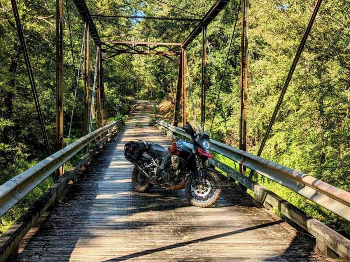
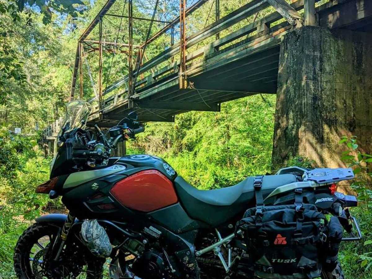
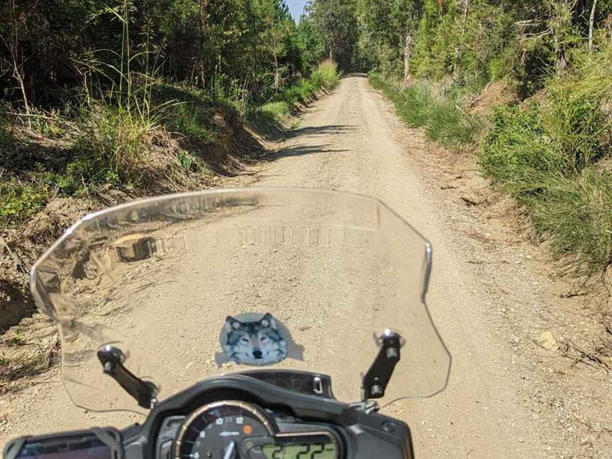
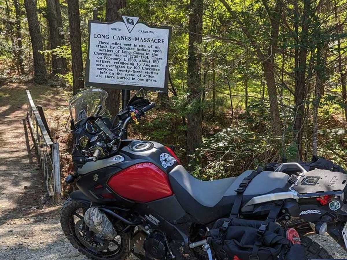
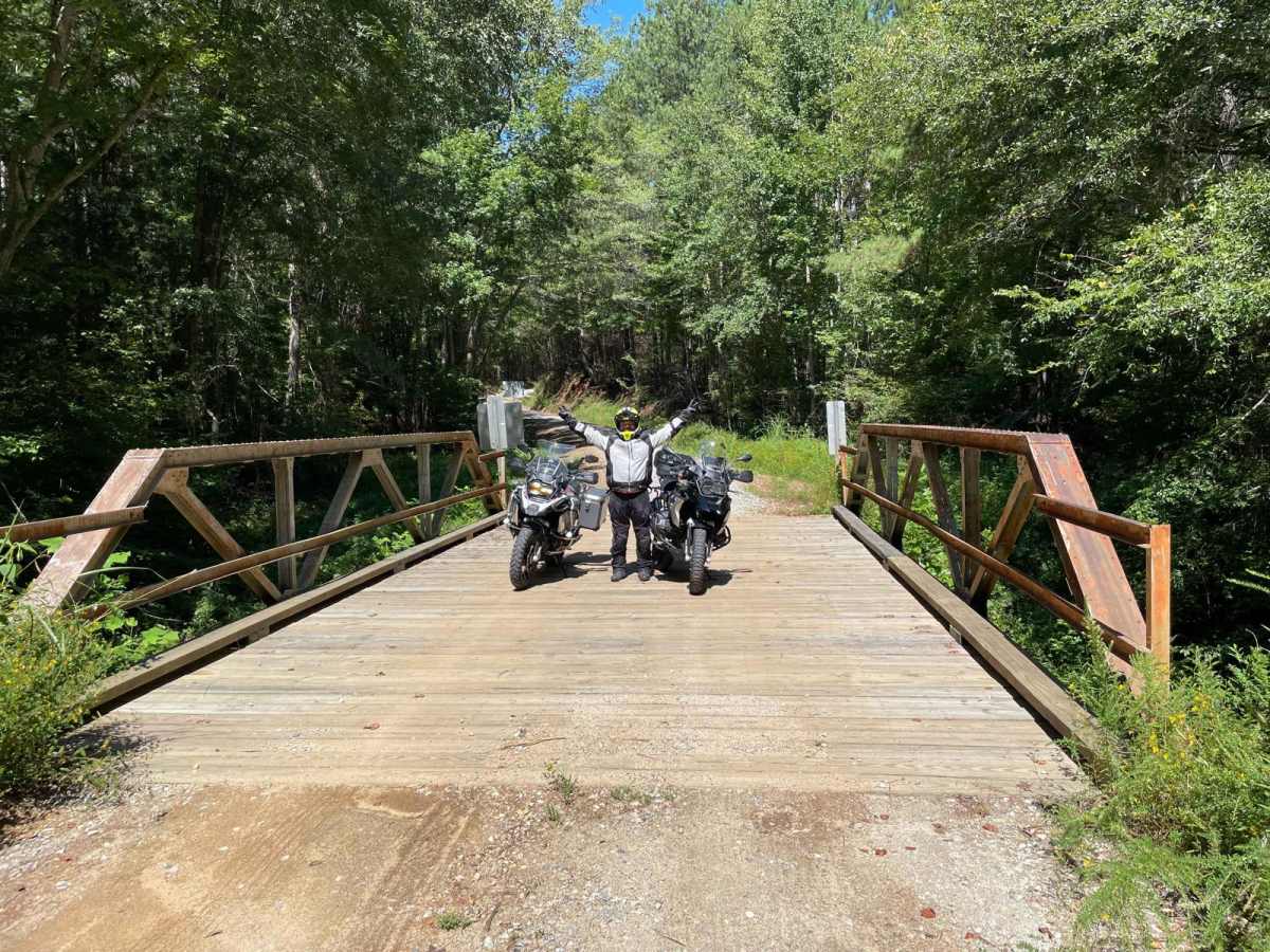
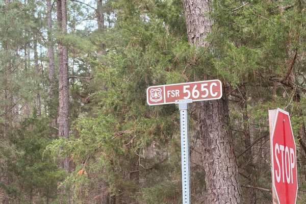
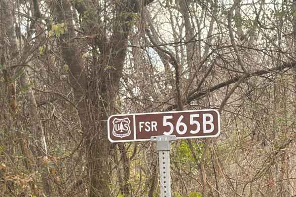
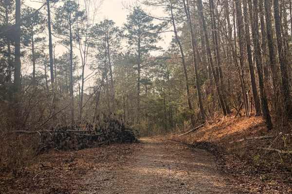
This section of the South Carolina Adventure Route is northwest of McCormick. It's a heavily wooded section composed of gravel over clay with a high crown on the road, and a relaxing drive in typical conditions. It passes two sites of historical interest: the Long Cane Massacre site and Long Cane Creek Bridge.About the SCAR - The South Carolina Adventure Route loops through approximately 1,000 miles of rural South Carolina. Along this route, you'll enjoy the Blue Ridge Mountains, the Atlantic Ocean, diverse forests, cotton fields, state parks, historical sites, and quaint towns. The SCAR also connects to the Smokey Mountains 500, the Georgia Traverse, and the Trans-America Trail (TAT), providing riders on those trails with a scenic route to the Atlantic coast at Edisto Beach. The roads along the SCAR are a mix of pavement and dirt, 60% and 40% respectively, with the surface alternating between gravel, dirt, clay, and sand. The route is not exceptionally technical, but dry conditions can leave the sandy roads loose, while wet conditions can leave the mud and clay roads slick and rutted. Travelers should expect to encounter deep sand and sizable mud holes in the worst conditions.

Photos of Long Cane - SCAR Alternate

Difficulty

Composed of gravel over clay with a high crown on the road

Technical Rating

4

Status Reports

Add Status Report
vic Turner
Mar 17, 2026
Open
Bridge still closed no date of reopen. No way to cross.
Joshua Bright
Mar 14, 2026
Open
This trail should be a one or two. It's a gravel road, fairly easy to travel in a stock 4x4. The bridge is blocked Crossing the river and you cannot get through
Kyle Cooper
Dec 26, 2025
Open
Beautiful trail but bridge is still out
Andrew Chad
Nov 06, 2025
Open
Signage “local traffic only - bridge out”. See attached pics for location. Trail cannot be completed from either side due to close bridge. Repair completion unknown.
Scott Lazar
Jun 27, 2025
Open
Bridge still closed, no noted time for reopening.
Jason Shealy
May 24, 2025
Open
Bridge is Out
Roberto Dominguez
Mar 30, 2025
Open
Mike Fleming
Mar 15, 2025
Open
The bridge is closed but not sure when it will reopen on trial 570 : (
Carolina Overland Experience
Mar 01, 2025
Open
Bridge located at 34.00057, -82.35204 is closed due to damage from hurricane Helene. Must turn around no way to safety cross creek.
Kese Johnson
Jan 03, 2025
Open
Road Closed at Bridge
Dylan Tackitt
Nov 03, 2024
Open
Dan Curry
Oct 25, 2024
Open
The Long Cane Bridge is closed. It looks like it will be closed for a while given the way they installed the sign.
Derek West
Sep 14, 2024
Open
The Long Cane Creek Bridge (34.00065, -82.35184) is closed.
Bryan L.
Jul 14, 2024
Open
Bridge out. Road Closed
Harrison Tant
Jun 23, 2024
Open
Started on the Southern entrance. It is dry and dusty. The left hand turn at West Carleston that keeps you on the trail is pretty tight and could be tricky for larger vehicles. It is also filled with large stone. Long Cane Massacre site is an interesting stop for a little bit of history about the area. Overall easy trail that made for a nice cruise.

Long Cane - SCAR Alternate Trail can be accessed by the following ride types:

  • High Clearance
  • Full Width

Long Cane - SCAR Alternate Map

The onX Offroad Difference

onX Offroad combines trail photos, descriptions, difficulty ratings, width restrictions, seasonality, and more in a user-friendly interface. Available on all devices, with offline access and full compatibility with CarPlay and Android Auto. Discover what you're missing today!

Open Trail Map