Top of the World Trail

Total Miles2.2
Technical Rating
2Easy
Best TimeSpring, Summer, Fall
Trail TypeFull-Width Road
Accessible By
Open Trail Map

Trail Overview

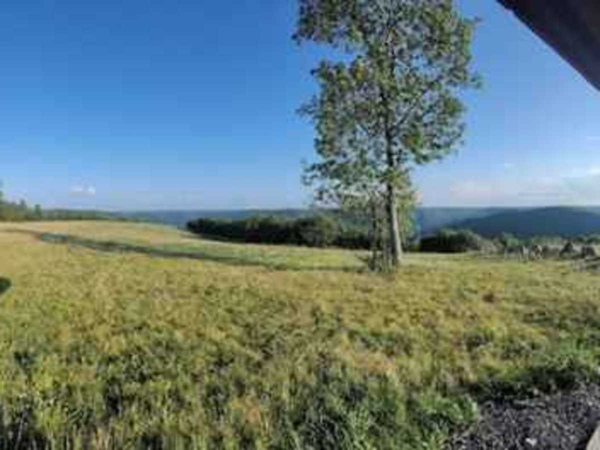
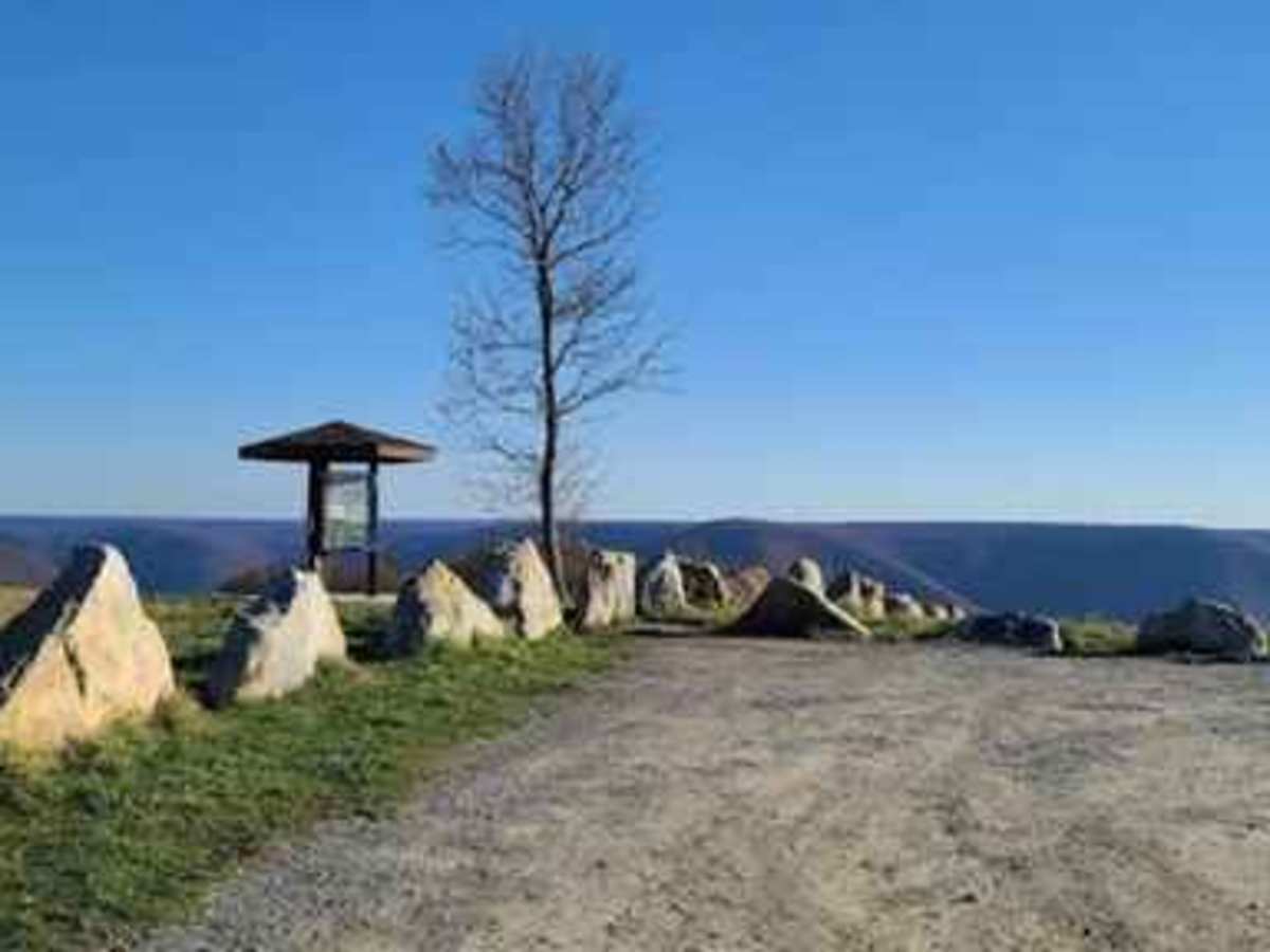
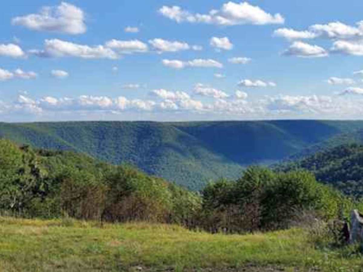
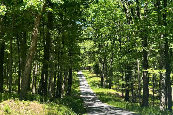
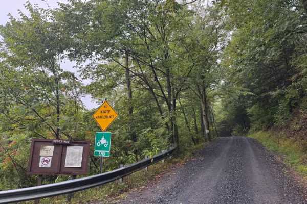
Top of the World Trail is a scenic, 2.2-mile unpaved township road climbing Mason Hill near Driftwood, Pennsylvania. The route ascends over 1,200 feet to the Bucktail Overlook, reaching a maximum elevation of 2,086 feet. Rated an easy 2, the trail is suitable for high-clearance vehicles and features a graded dirt surface with occasional loose gravel and minor washouts. At the summit, visitors enjoy 360-degree panoramic views of the PA Wilds, making it a popular spot for sunset viewing and stargazing. The trail begins off Route 555 (Elk Scenic Drive) in Castle Garden. Because the road receives no winter maintenance, travel should be avoided during snow, ice, or wet conditions due to steep gradients reaching 13.5 degrees.

Photos of Top of the World Trail

Difficulty

This is a no winter maintenance township road that should be avoided in poor weather conditions.

Technical Rating

2

Status Reports

Add Status Report
Jason Fleming
Sep 14, 2025
2005 Nissan Titan
Open
Nice windy road up to the Bucktail Overlook. Steep drop off and pretty narrow a few places but 3 seasons friendly for any vehicle.
andy thomas
Mar 22, 2025
2015 Chevrolet Silverado
Open
the overlook is almost a full 360 degree view of the surrounding area around driftwood. if coming up from rt 555 the climb is very steep, narrow and winding. should be avoided during winter but spring-fall should be fine for any stock AWD/4wd vehicle. the road is narrow and passing another vehicle can be difficult.
Mike Walker
Sep 13, 2024
2023 Honda Pilot
Open
Normal
Dry and easy.
Chris Luthart
Feb 17, 2024
2017 Jeep Wrangler
Open
Snow/Ice
Jared B
Jul 09, 2023
Open
Washboard

Top of the World Trail Trail can be accessed by the following ride types:

  • High Clearance
  • Full Width

Access Description

This route utilizes a township road that receives no winter maintenance. It is highly recommended to avoid this trail during snow, ice, or heavy rain, as the steep grades can become slippery and hazardous. No fees or permits are required to access the Bucktail Overlook.


Top of the World Trail Map

The onX Offroad Difference

onX Offroad combines trail photos, descriptions, difficulty ratings, width restrictions, seasonality, and more in a user-friendly interface. Available on all devices, with offline access and full compatibility with CarPlay and Android Auto. Discover what you're missing today!

Open Trail Map