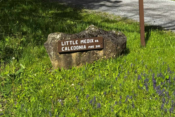
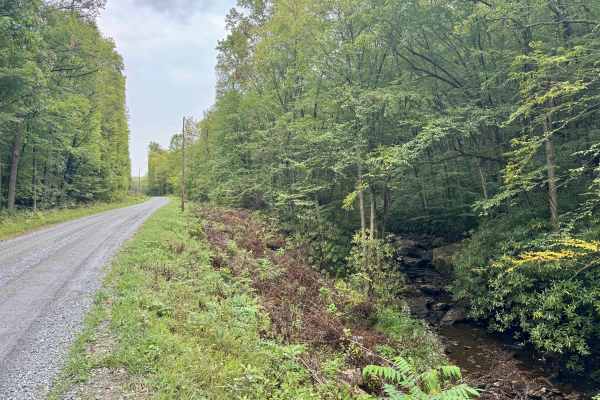
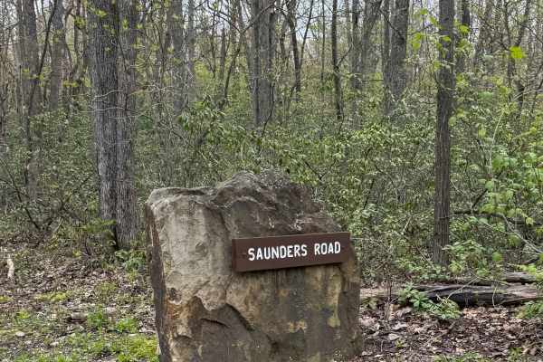
Sullivan Road

Total Miles1.1
Technical Rating
3Easy
Best TimeSpring, Summer, Fall, Winter
Trail TypeFull-Width Road
Accessible By
Open Trail Map

Trail Overview

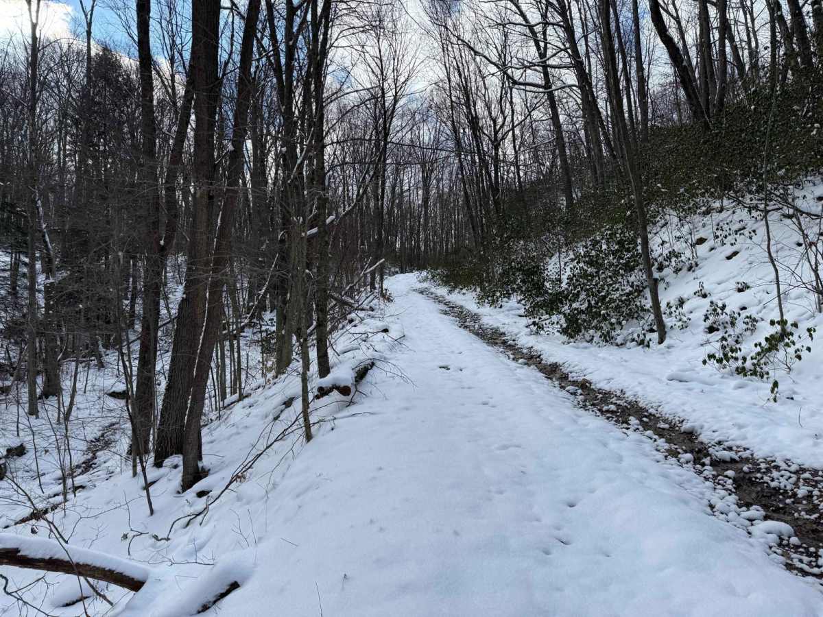
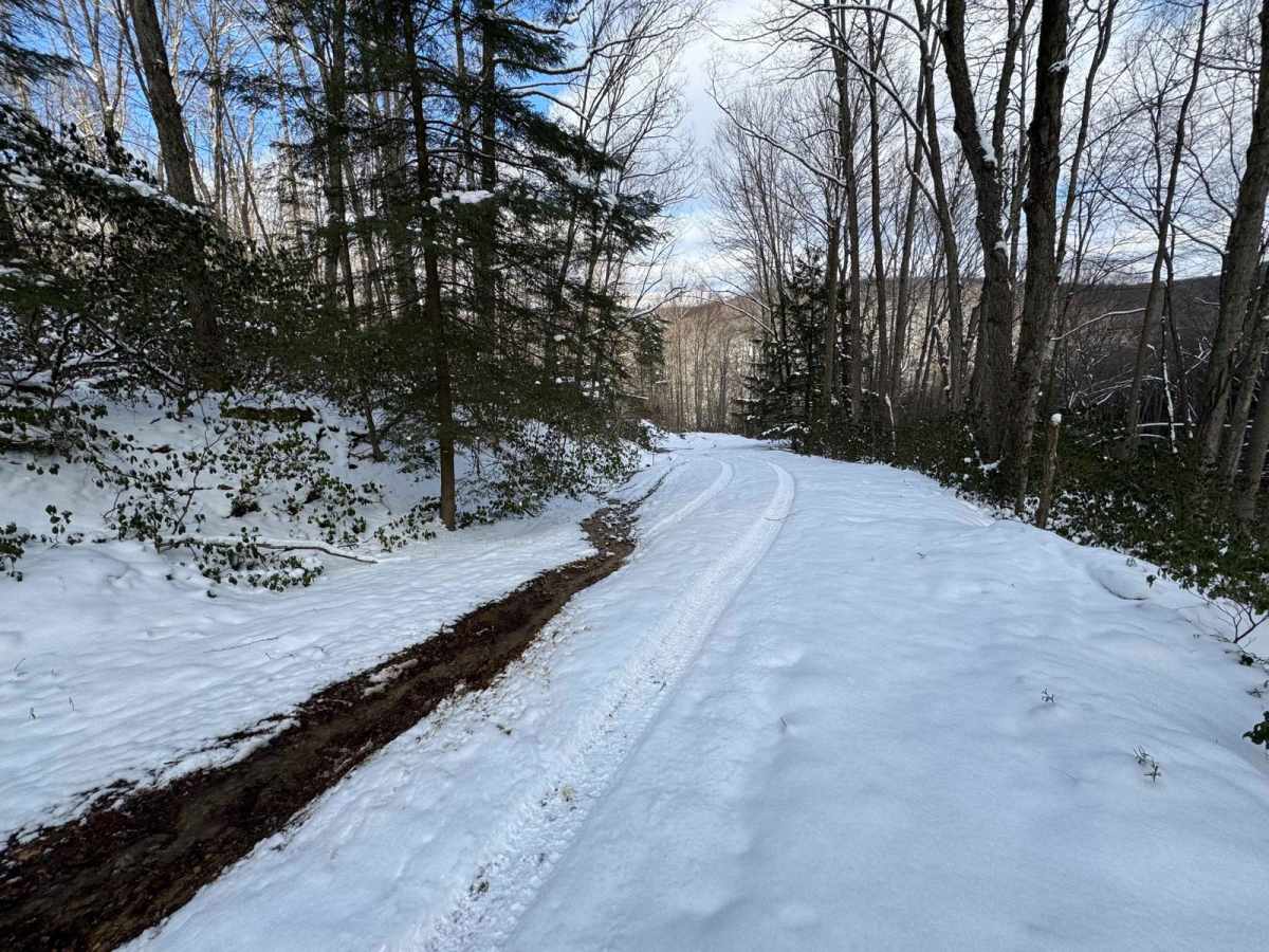
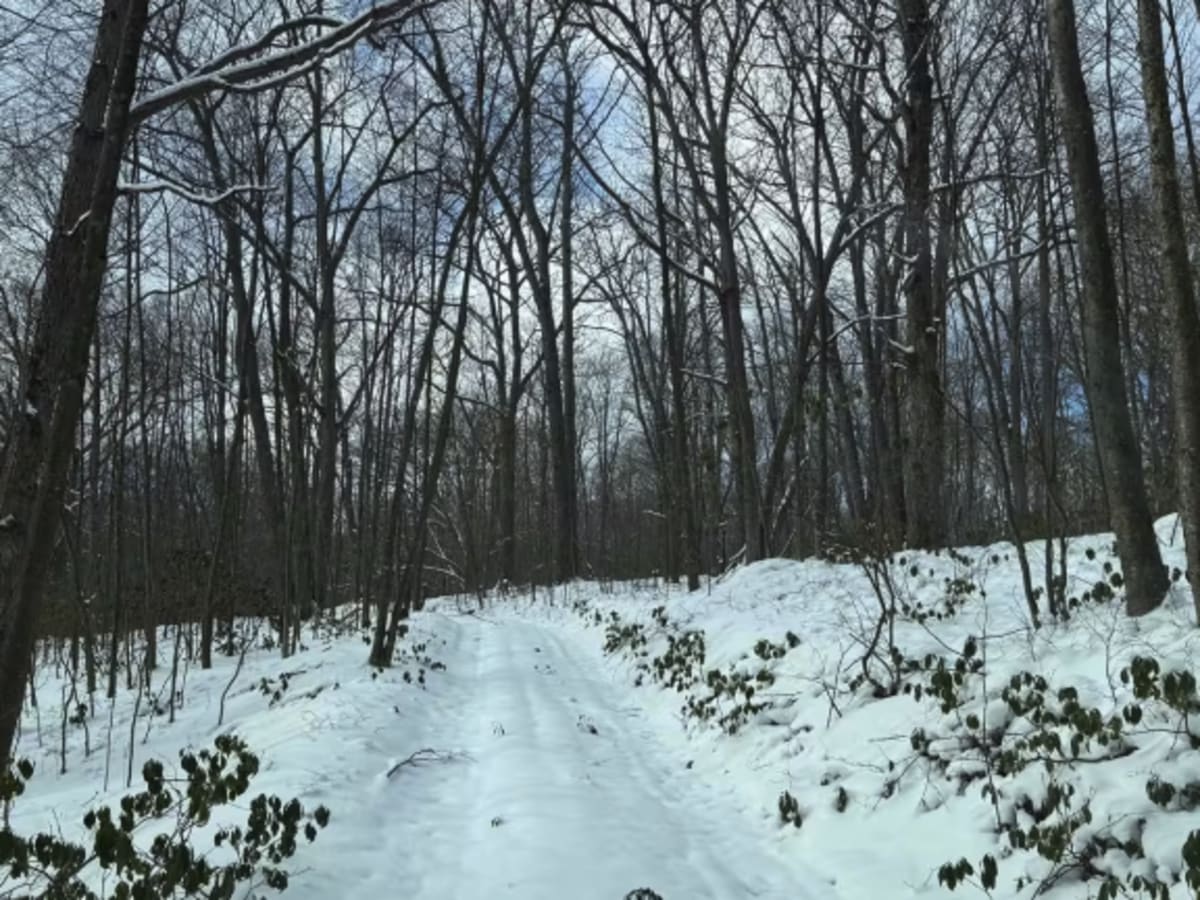
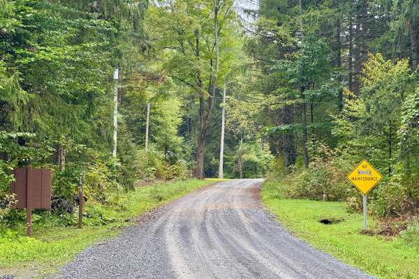
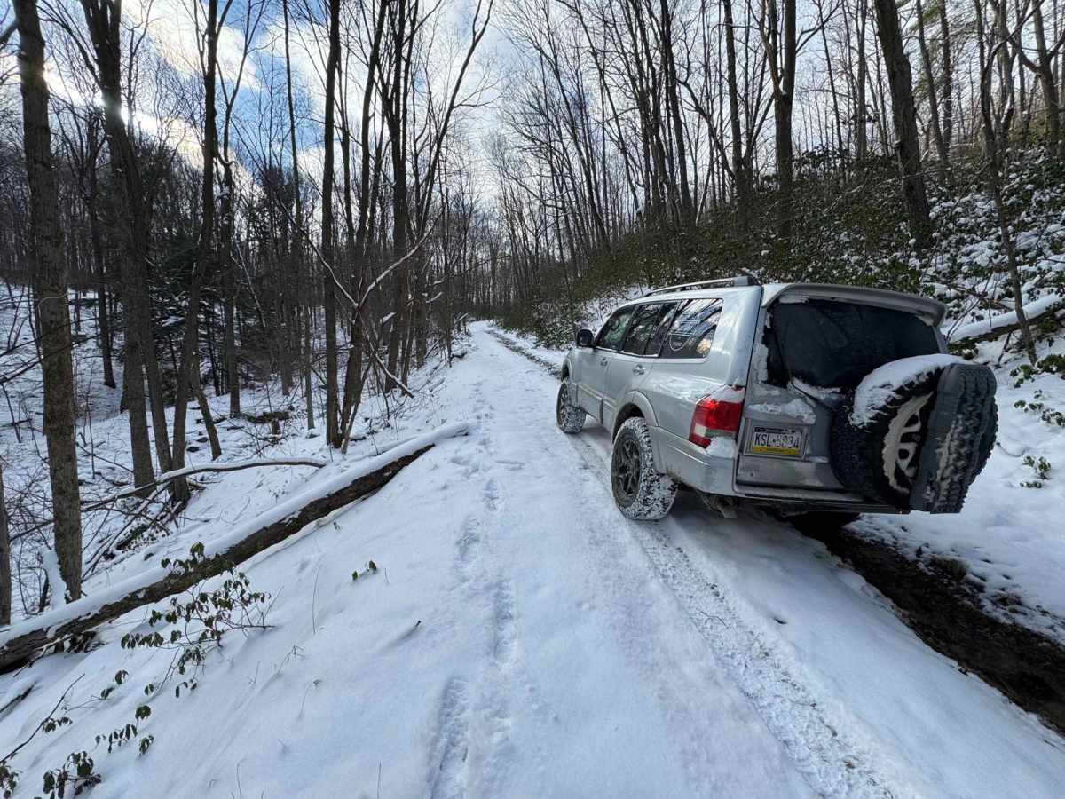
Sullivan Road is a steep, rarely used trail off of the Quehanna Highway. There is a tiny little cabin that I don't think is used anymore in the middle of the trail. It can be muddy and slippery, but most 4x4s should be able to handle this trail.

Photos of Sullivan Road

Difficulty

This is a narrow trail; it sometimes has downed trees and can be muddy, but it is not overly challenging for most 4x4s.

Technical Rating

3

Status Reports

Add Status Report
Doug McCartney
Sep 12, 2026
2007 Toyota Fj cruiser
Obstructed
Downed Tree
Down tree eastern Medix end. Use caution here this trail isn’t mapped not mapped properly. Sullivan road runs along the Quehanna highway the mapped trail leads you to a short spur intended for cross country ski trails do not proceed any further past the mapped line there are user created trails not part of the state’s forest here tread lightly and turn around. There is a tricky hair pin left or (right depending on which way you come in) that keeps you on the correct road the east end of Sullivan is hardly used narrow and rocky easy to confuse the trial from the spur in this spot
Bob Rout
Jun 20, 2026
Open
Muddy/Wet
One spot was difficult with a large drop, high clearance is needed. Stock suspension with 35's was close to scrapping.

Sullivan Road Trail can be accessed by the following ride types:

  • High Clearance
  • Full Width

Sullivan Road Map

The onX Offroad Difference

onX Offroad combines trail photos, descriptions, difficulty ratings, width restrictions, seasonality, and more in a user-friendly interface. Available on all devices, with offline access and full compatibility with CarPlay and Android Auto. Discover what you're missing today!

Open Trail Map