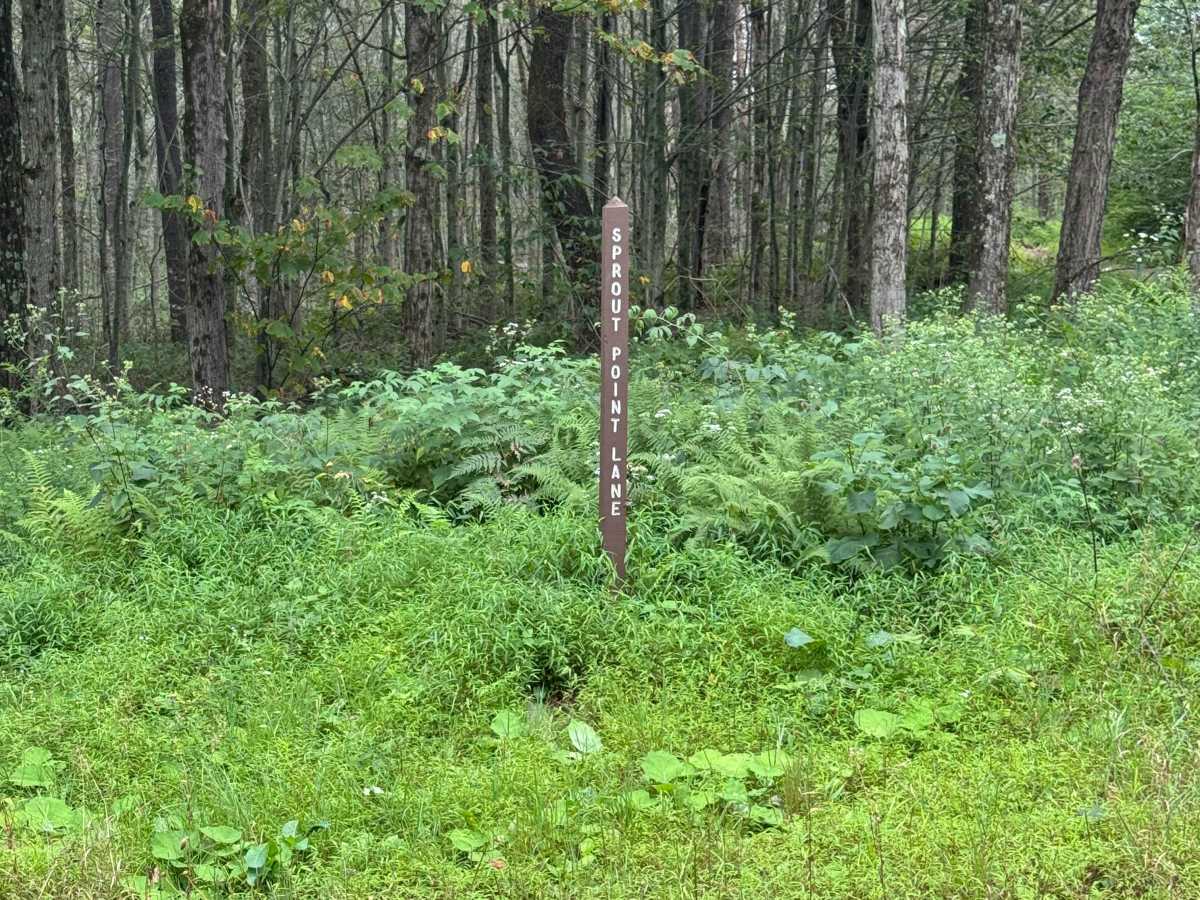
Trail Overview
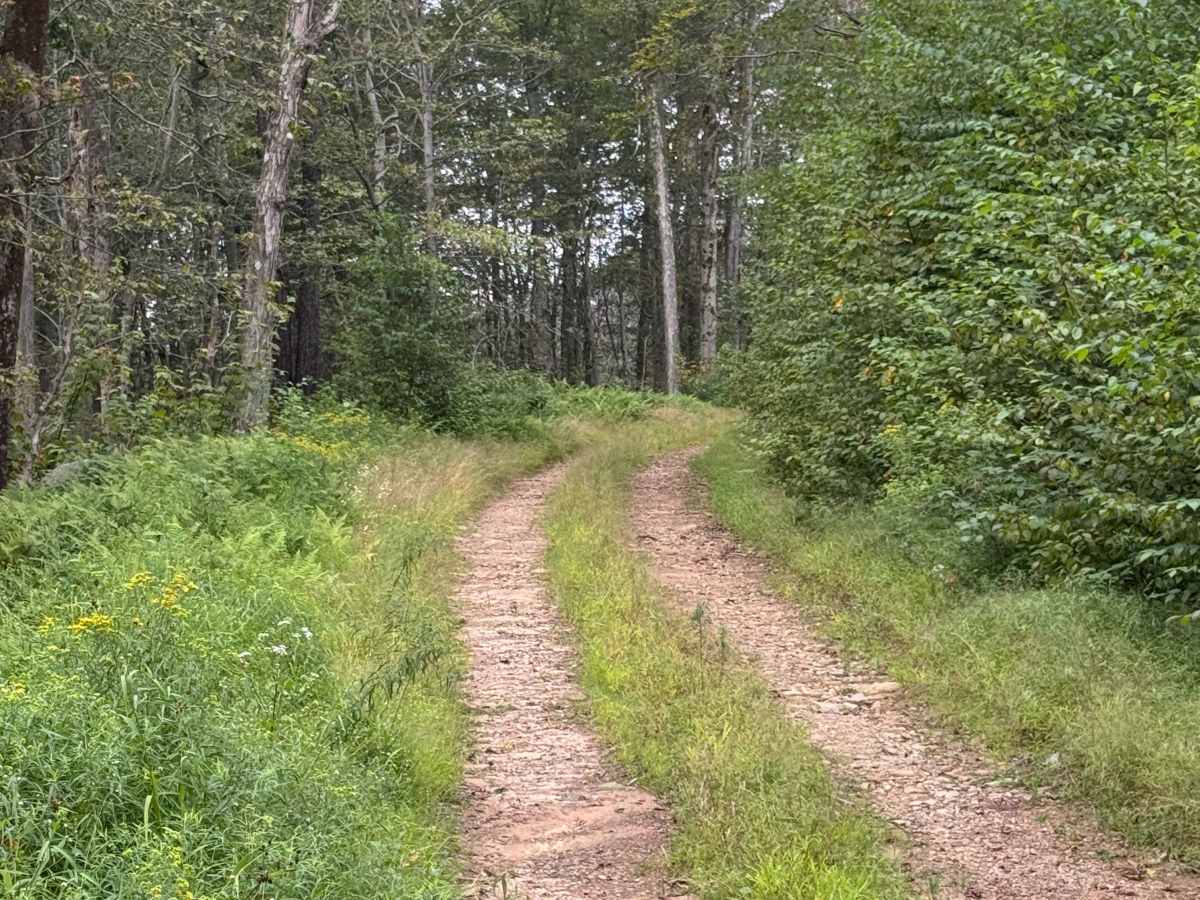
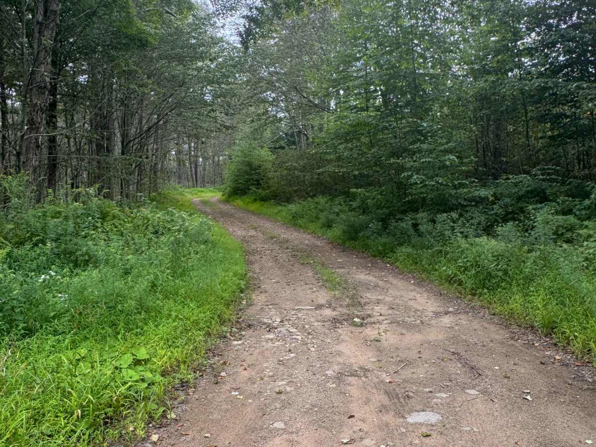
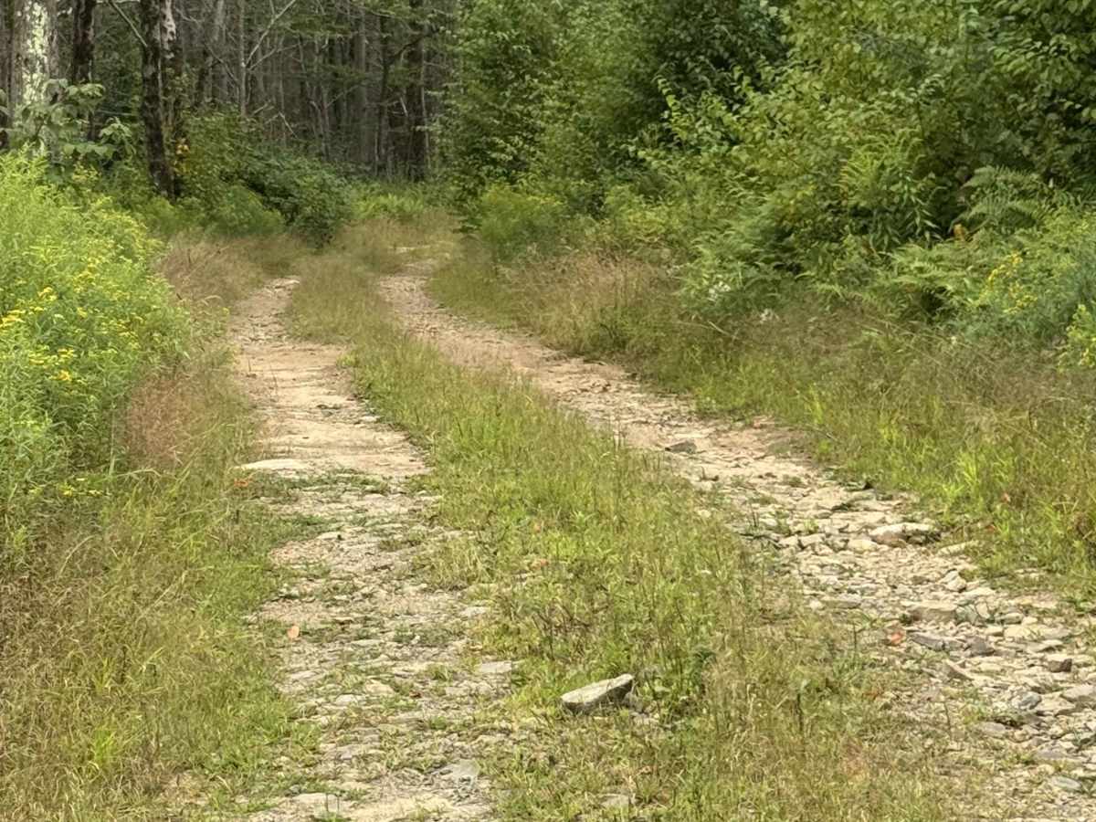
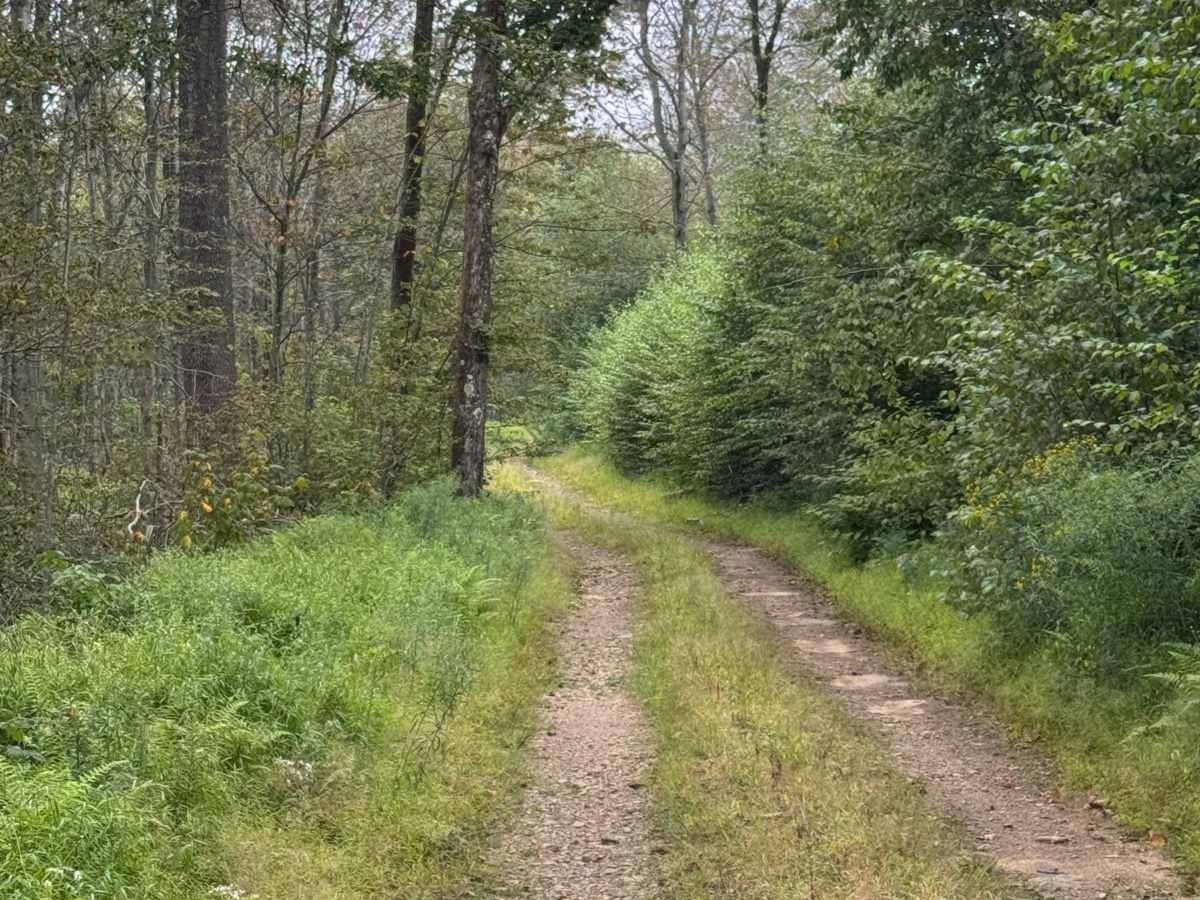
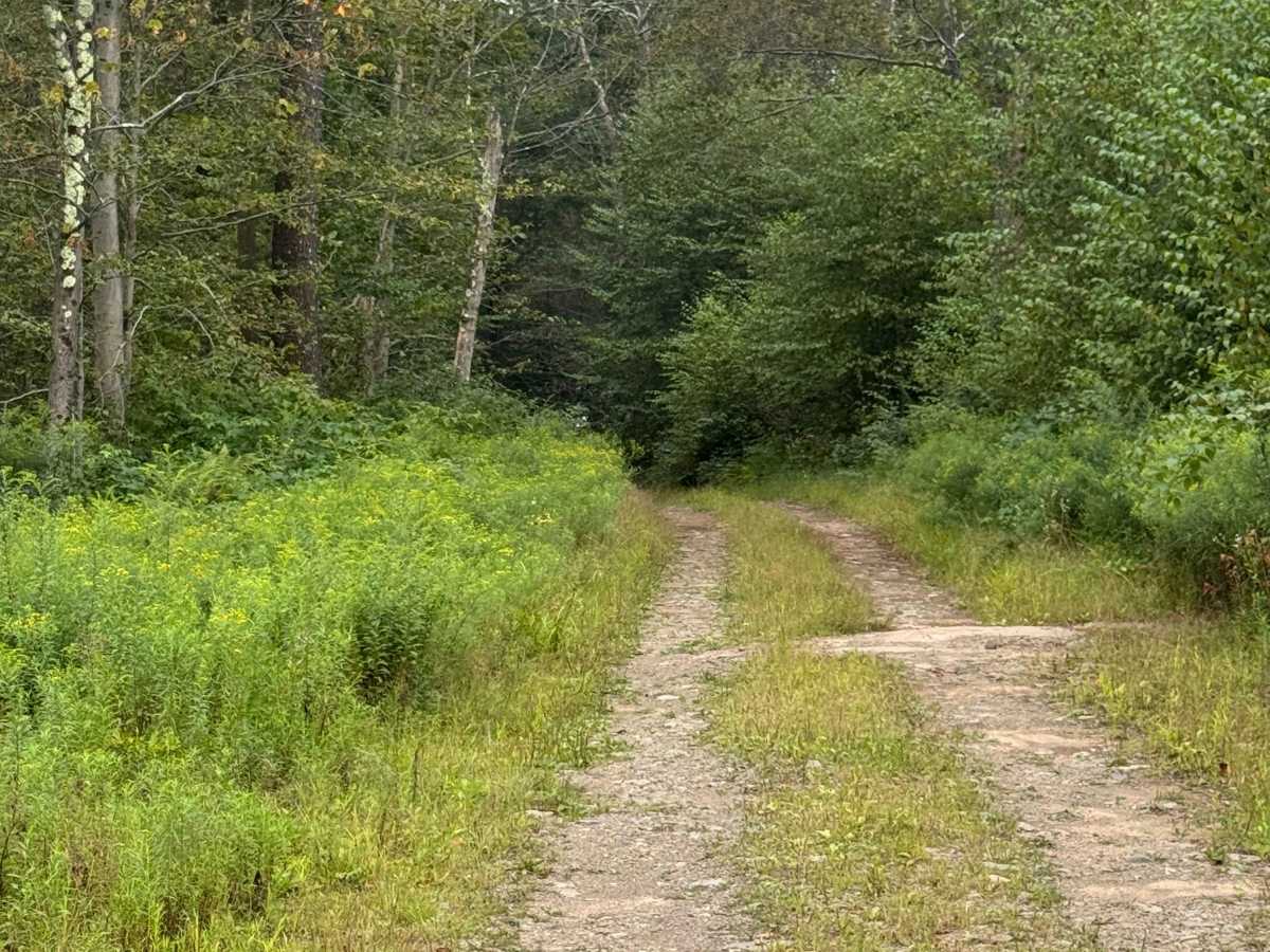
Sprout Point Road is primarily an ungraded dirt road. It is a dead-end road with a large area to turn around on the southern end. At the end of the road is the old Sprout Point Fire Tower. The tower is not accessible via vehicle. You can make an easy hike up the trail to see the location. It is an easy ride in the summer months for a 4x4 vehicle; however, there is no winter maintenance. During times of rain, snow, and ice, the road can become heavily rutted and extremely hard to travel on. Sprout Point Road is within Loyalsock State Forest. This region of Pennsylvania is a great place to explore during the fall when the leaves are changing color, and the full beauty of the State Forest is on display.
Difficulty
Sprout Point Road is primarily an ungraded dirt road. It is a rutted and rocky ride in the summer months; however, there is no winter maintenance. During times of rain, snow, and ice, the road will become heavily rutted and harder to travel on. The trail has some tight sections with brush and trees. Potential paint pinstriping can be encountered.
History
Sprout Point Fire Tower is a historical fire lookout tower located in Loyalsock State Forest, Pennsylvania, which was built to replace an older tower in the same area and now serves as a site on the Former Fire Lookout Sites Register. The original tower near Masten was dismantled, and the new, larger tower was erected on the higher ground of Sprout Point.