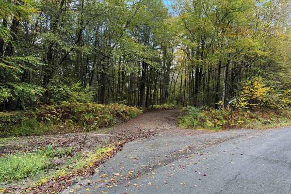
Minkler Mountain Road T668

Total Miles1.9
Technical Rating
5Moderate
Best TimeSpring, Summer, Fall
Trail TypeFull-Width Road
Accessible By
Open Trail Map

Trail Overview

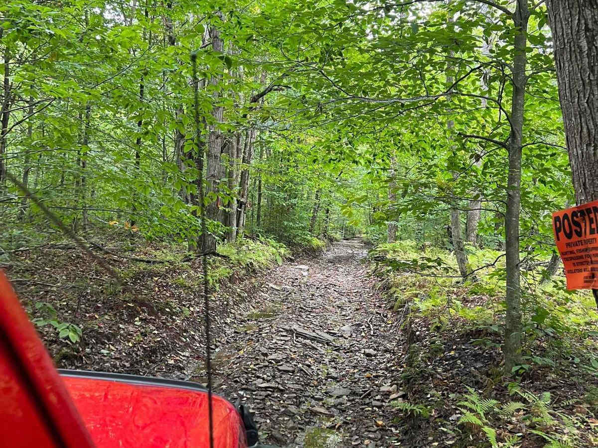
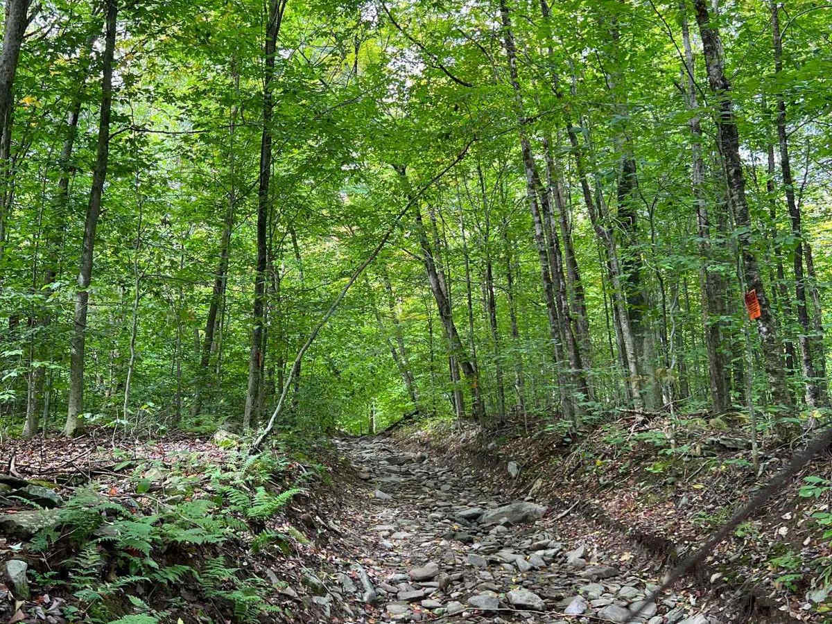
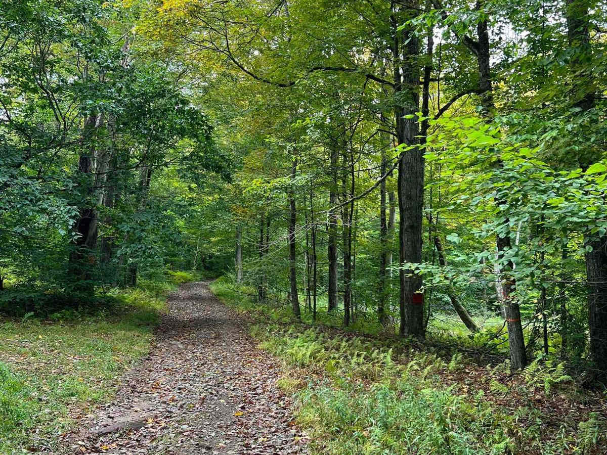
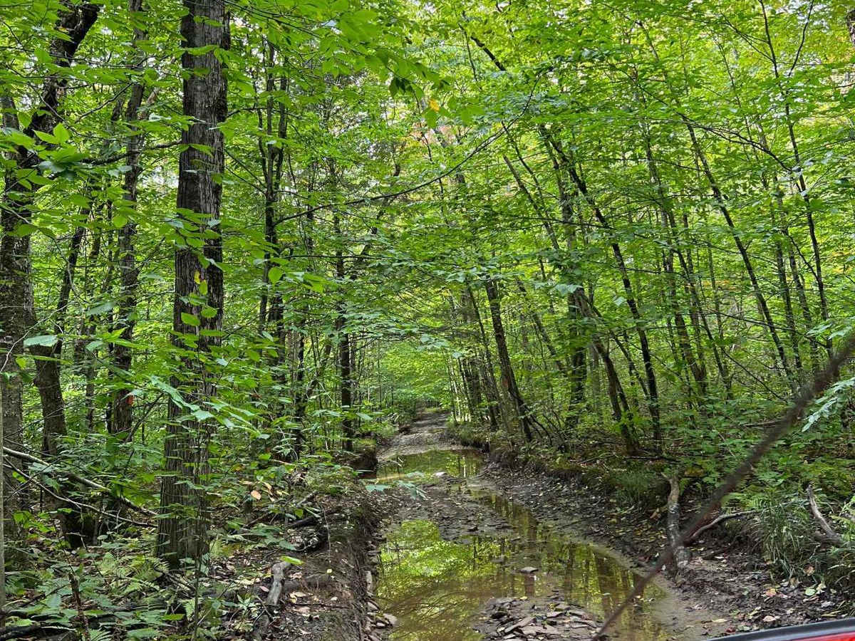
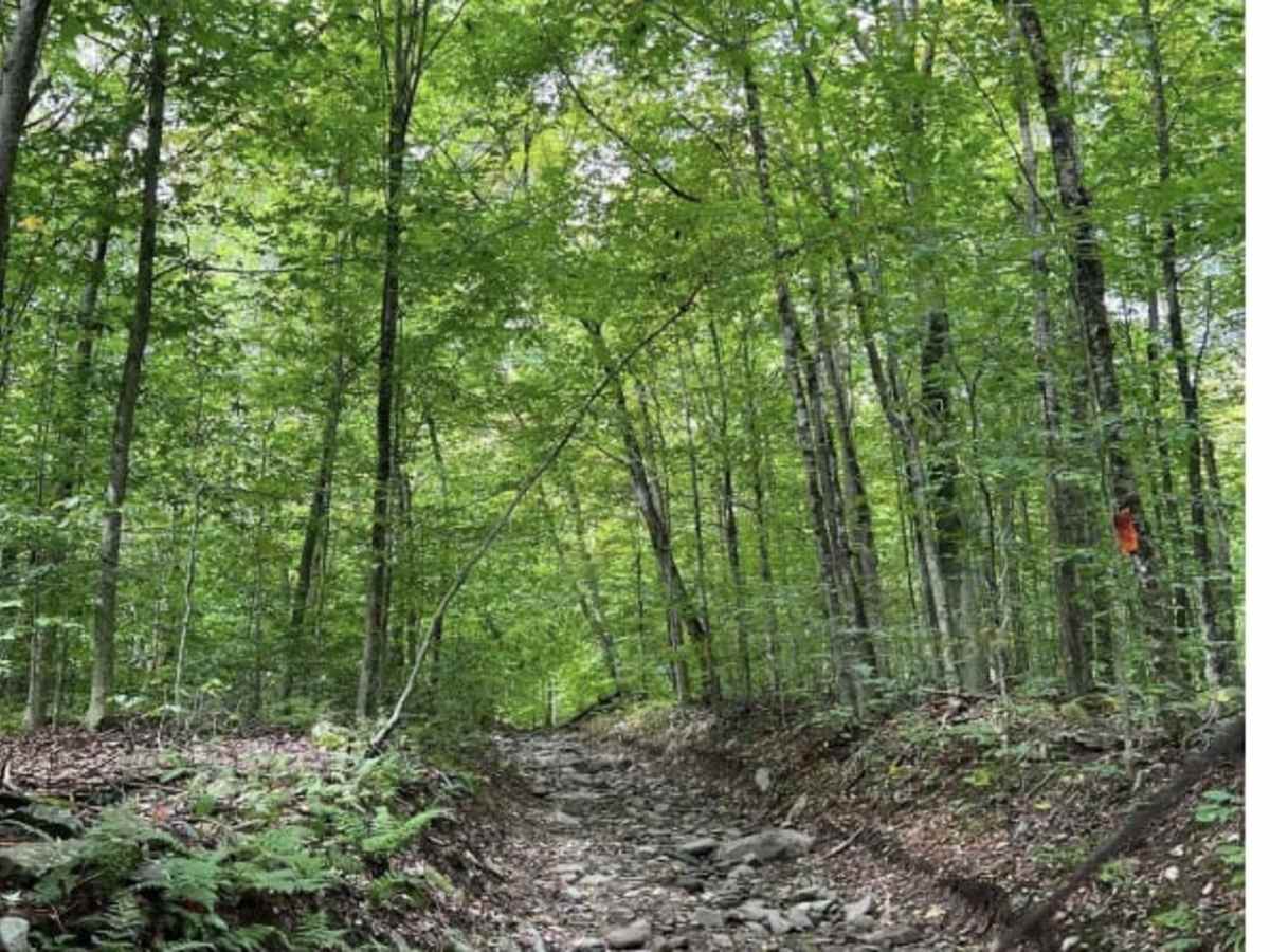
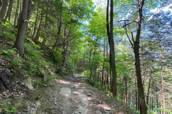
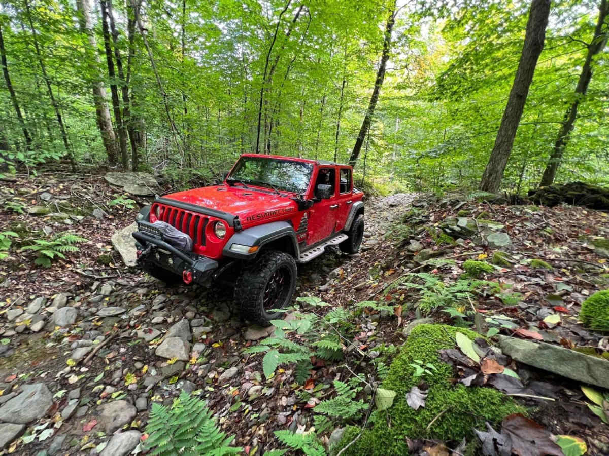
Minkler Mountain Road T668 offers an unmaintained off-road experience for drivers seeking a climb with technical obstacles through a heavily forested hillside. Stretching approximately 1.9 miles near the Delaware River and Stalker, Pennsylvania this tight single-vehicle-wide track climbs nearly 700 feet in elevation, topping out at around 1,545 feet. Offroaders will navigate an extremely rocky surface defined by steep climbs on slippery stone, multiple ledges and large rocks embedded in the center of the route. Water frequently drains directly down the middle of the trail, ensuring slick conditions even during drier periods. With a technical rating of 5, this route demands high-clearance 4WD vehicles equipped with capable tires to handle the deep ruts and rocky ledges. Drivers should also remain alert for fallen limbs and downed trees along the heavily overgrown right-of-way. Because Minkler Mountain Road is a township right-of-way passing through private property, staying on the designated trail and respecting the surrounding land is essential. The route begins near the settlement of Stalker and winds uphill to the southwest, providing a short but intense technical challenge before connecting back to maintained country roads.

Photos of Minkler Mountain Road T668

Difficulty

There are deep ruts, mud holes, ledges, and steep climbs on slippery wet stone. You will encounter downed trees and limbs.

Technical Rating

5

Status Reports

Add Status Report
Mikael K
Oct 18, 2025
Open
Normal
Short trail, took about 40min to drive through, this trail is definitely not 5, maybe more like 3. Few mudholes on the way maybe max 1 foot depth in October. Few bigger sized rocks in the middle of the trail. 1 Moderate hill climb going westbound. I went this trail without airingdown my 34"s. Still had fun as always on the trail
Marc Grif
Sep 20, 2025
2024 Toyota Tacoma
Open
Normal
Started off nice and easy then you get to a section on an incline and some good size rocks and dips would definitely recommend a high ground clearance vehicle with off road tires and 4x4 (4low)
Andrew brown
Jun 08, 2025
Open
Muddy/Wet
Josh Doyle
Jun 03, 2025
Open
Normal
Clear and open all the way through.
Josué Rojas
May 26, 2025
Open
Muddy/Wet
Octavio Agron
May 26, 2025
Open
Muddy/Wet
Definitely one of the more difficult trails in the area but a hell of a lotta fun
Justin Bruch
May 03, 2025
2001 GMC Sierra
Open
Muddy/Wet
dee l
Mar 30, 2025
Open
Muddy/WetRough/Deteriorated
Great off-road experience ! Went in both directions I have to say very fun . . Onto the next 1 !
Mateusz Lenart
Mar 16, 2025
2022 Toyota 4Runner
Open
NormalMuddy/Wet
I would recommend hitting this trail east to west. If you head eastward, you will drop off most of the obstacles. A dedicated 4x4 shouldn’t have trouble here as long as they have AT tires. AWD would struggle on some of the obstacles and may cause damage though
Scott Hillriegel
Nov 17, 2024
Open
Whoever has got this trail boosted up to a level 5 category is grossly wrong. I've ridden this trail for over 15 years, it is a level 3 at best.
Josh Doyle
Sep 14, 2024
Open
Normal
Trail is open the entire way through. Middle section is now a nice technical rock crawl after washing out with the recent storms. If you’re coming in from the western “uphill” side logging activity has the trail very bulldozed up,
Rich Berry
Sep 07, 2024
Open
Rough/Deteriorated
Trail was just fine other than a good portion seemed washed out with some larger rocks to get up over/ around. Would recommend going in the day to get a better look at what your going up
Ozzy Gonczi
Aug 24, 2024
Permanently Closed
Heavily Barricaded with Natural Material
Gary Jacobs
Jun 30, 2024
2019 Toyota Tacoma
Obstructed
Downed Tree
Tom RDOverland
Jun 09, 2024
Open
Muddy/Wet
I visited this trail right after a heavy rain, I would not rate this trail 5/10, it’s probably 3/10 max. It was a fun short trail, I enjoyed it. There was a rocky part and a muddy part.

Minkler Mountain Road T668 Trail can be accessed by the following ride types:

  • High Clearance
  • Full Width

Access Description

Minkler Mountain Road is a township right-of-way that passes through private property. Visitors must stay strictly on the designated trail, be respectful of local landowners, and tread lightly.

Minkler Mountain Road T668 Map

The onX Offroad Difference

onX Offroad combines trail photos, descriptions, difficulty ratings, width restrictions, seasonality, and more in a user-friendly interface. Available on all devices, with offline access and full compatibility with CarPlay and Android Auto. Discover what you're missing today!

Open Trail Map