Trail Overview
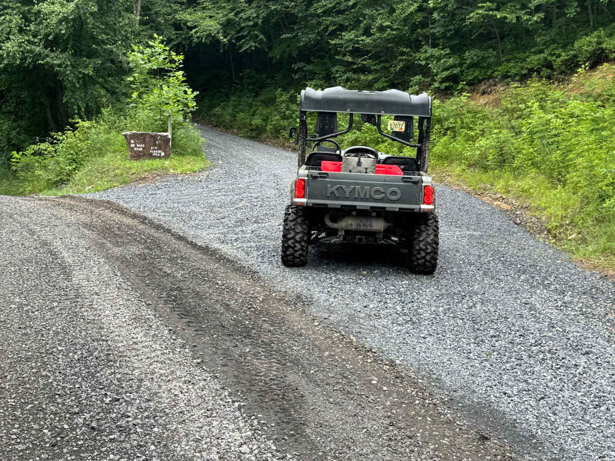
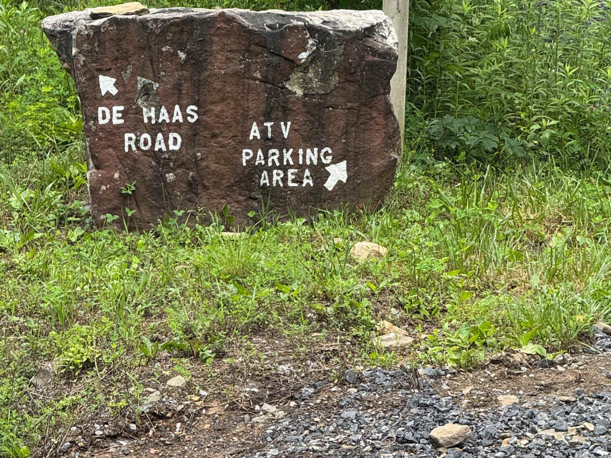
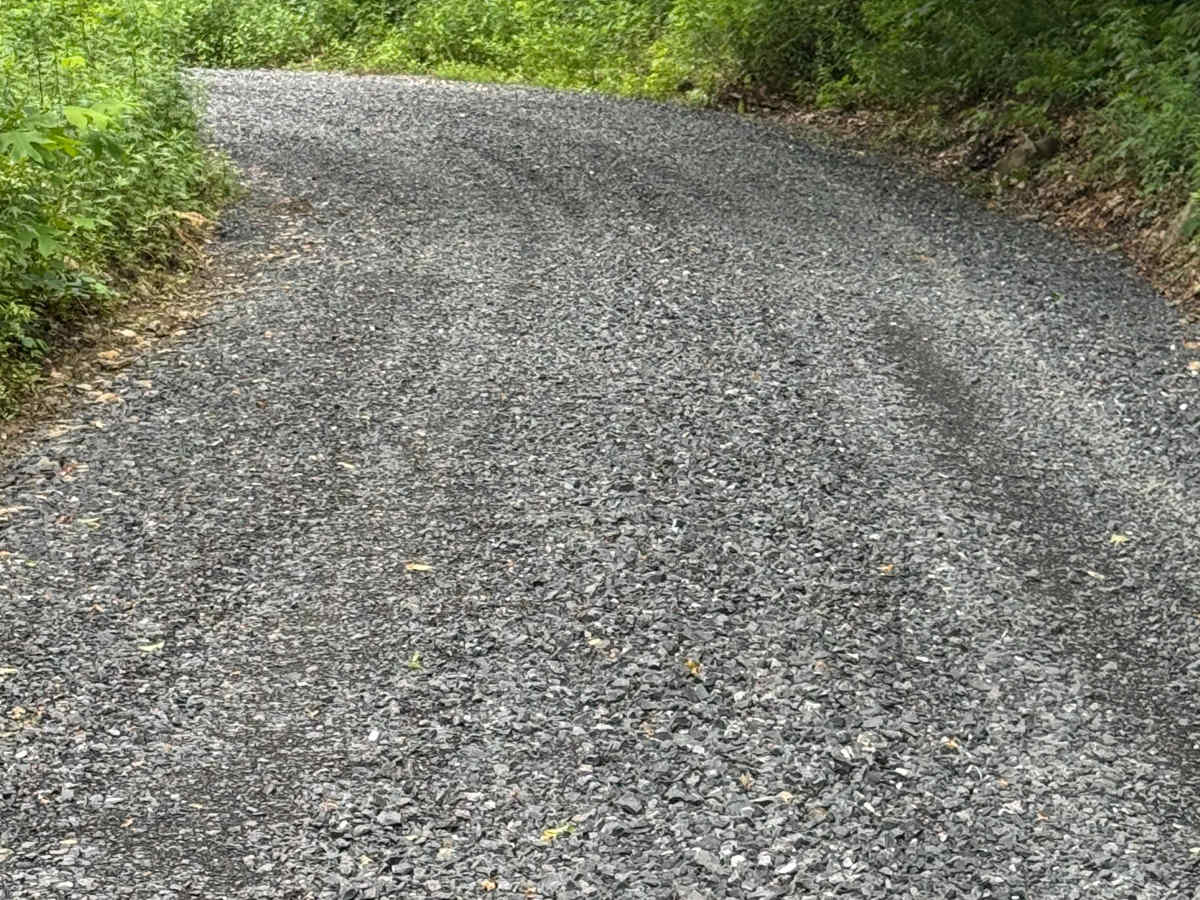
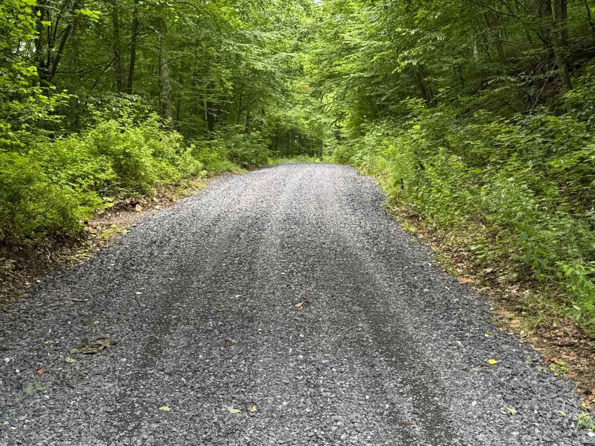
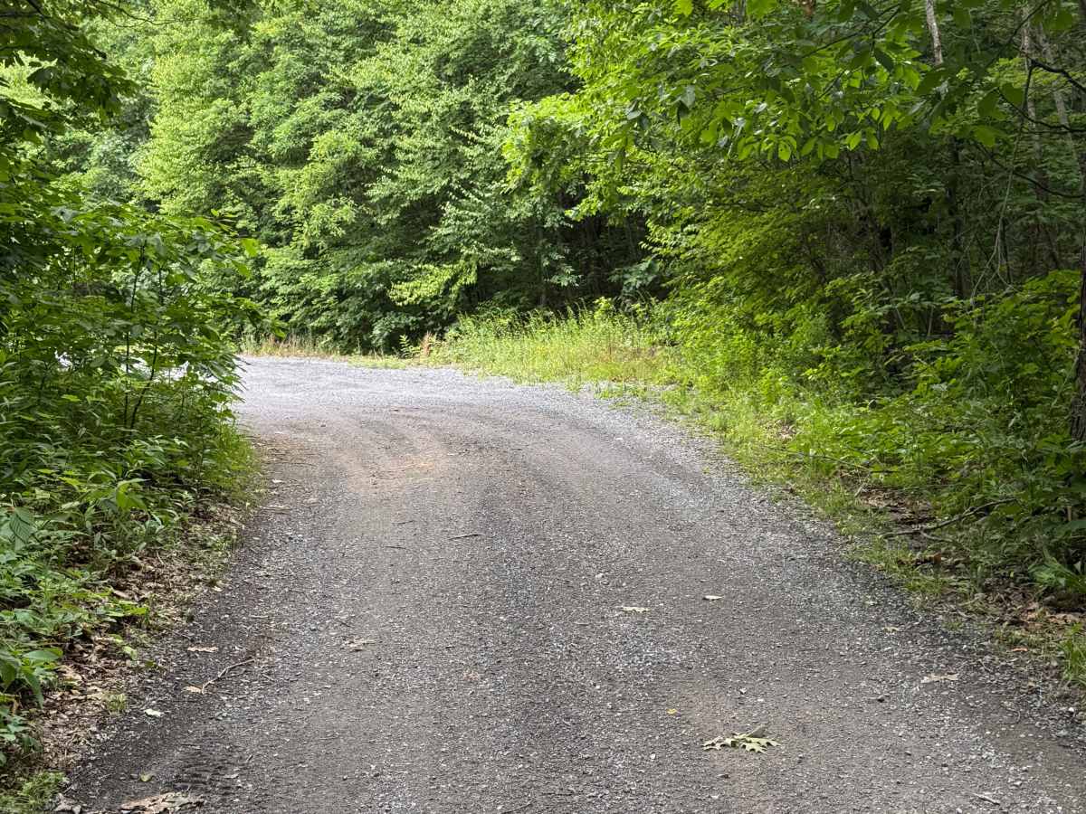
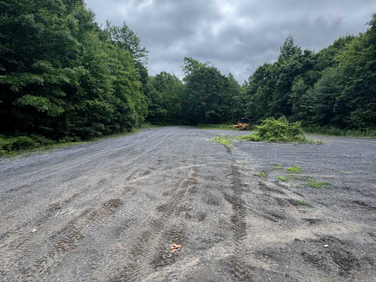
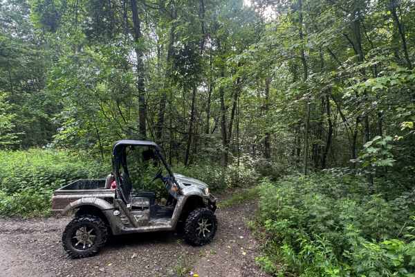
Middle Trailhead Road is a graded gravel road. It is the access road to the Middle Trailhead of the Bloody Skillet ATV Trail System located within Sproul State Forest. The trail system is open year-round except for two months during the spring fire season and in the fall for hunting season. Please call the Sproul State Forest office prior to making the trip to verify it is open. There is a mix of Green, Blue, and Black trails to offer trail levels for all riders. Most trails are an easy to moderate ride in the summer months; however, during times of inclement weather, the trails can become snow- or ice-covered and heavily rutted and extremely harder to travel on. There are numerous spots to stop along these trails and enjoy the foliage and possible wildlife.
Difficulty
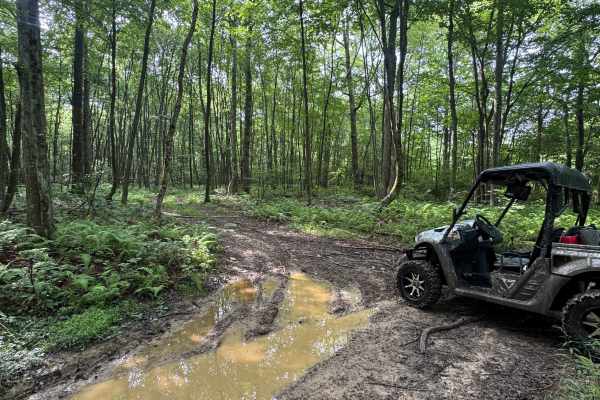
Middle Trailhead Road is a graded gravel road. It is an easy ride in the summer months. During times of poor weather, the trail will become snow- or ice-covered and possibly rutted and harder to travel on. There could be areas of rutting, mud, and standing water.
History
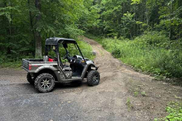
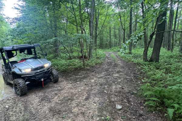
The Bloody Skillet ATV Trail System has more than 30 miles of summer and winter trails. Trails are open to registered Class II ATV's less than 58" in width and less than 1,200 pounds. All ATV’s must be registered and insured. Only ATVs with three or more wheels are permitted. Motorcycles and trailbikes are not permitted. Stay on designated trails.

 Offroad