McIntyre Road

Total Miles4.3
Technical Rating
3Easy
Best TimeSummer, Fall, Spring
Trail TypeFull-Width Road
Accessible By
Open Trail Map

Trail Overview

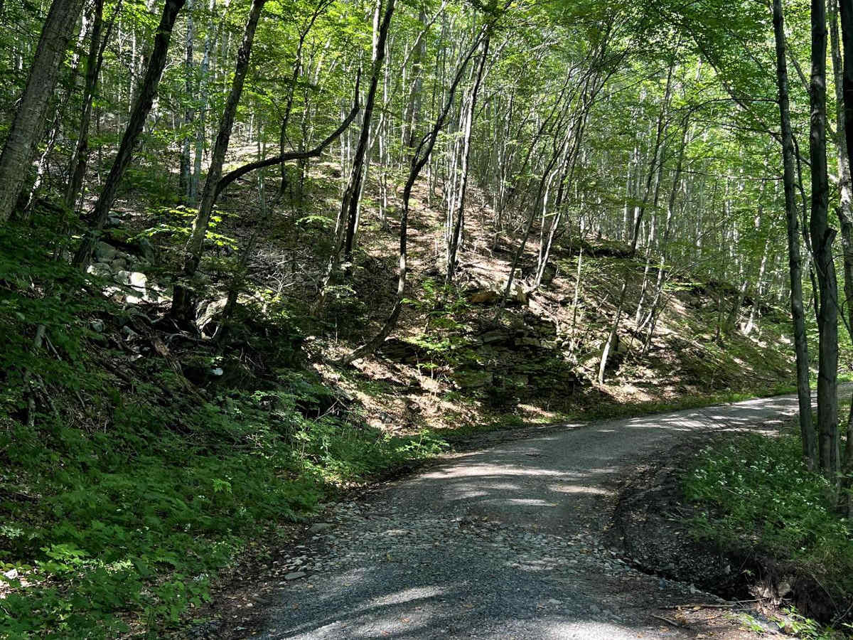
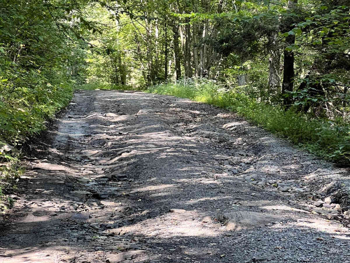
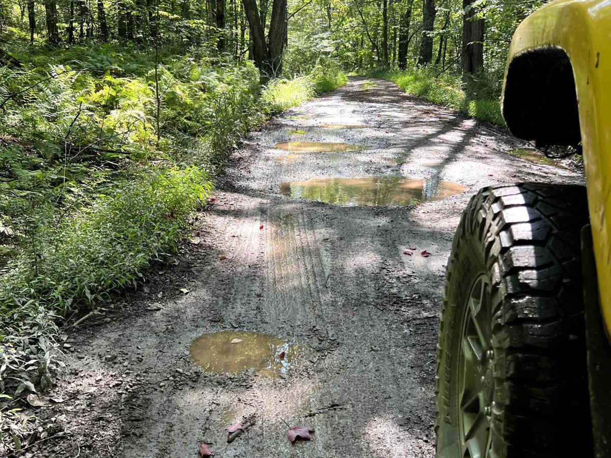
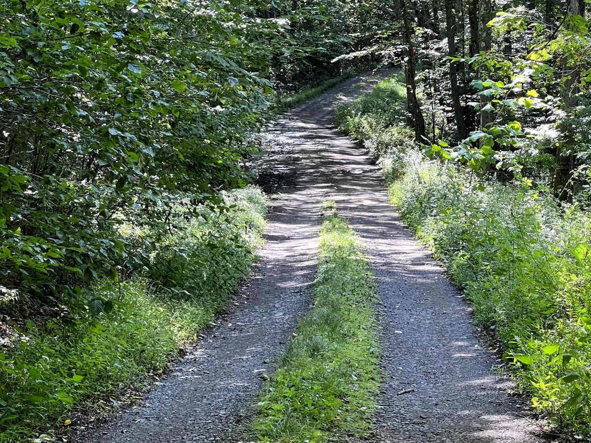
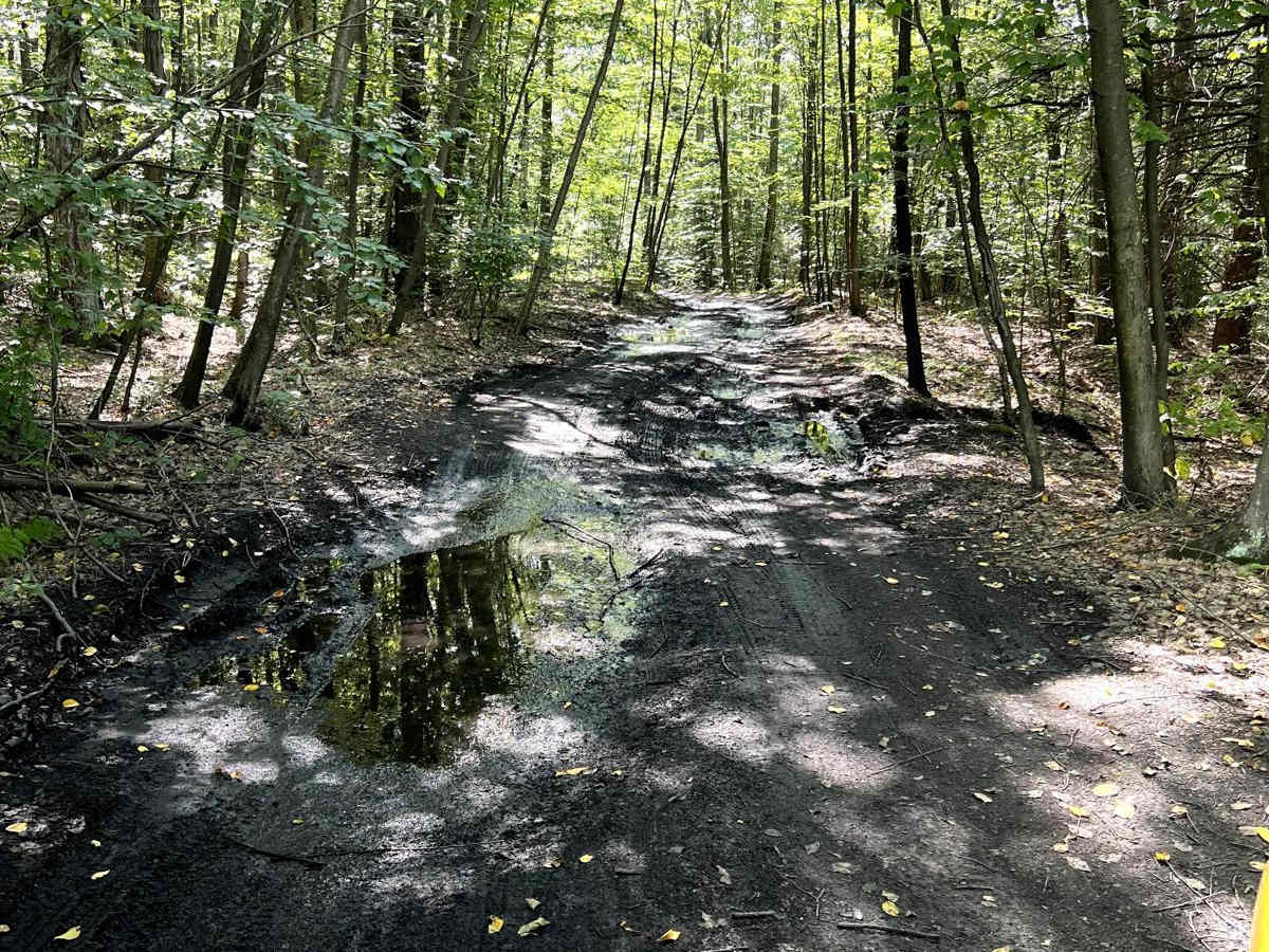
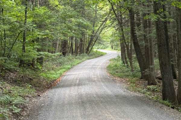
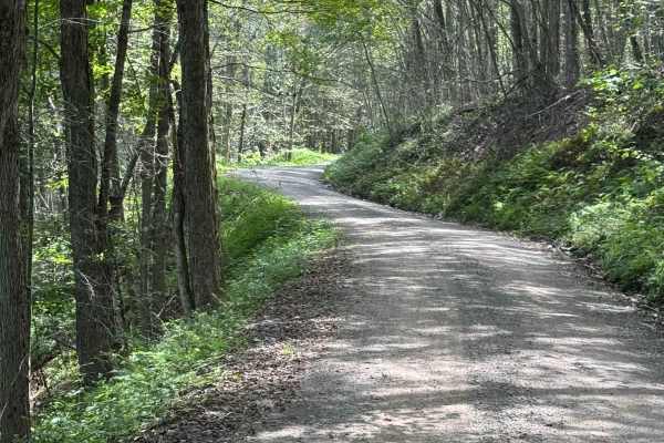
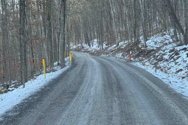
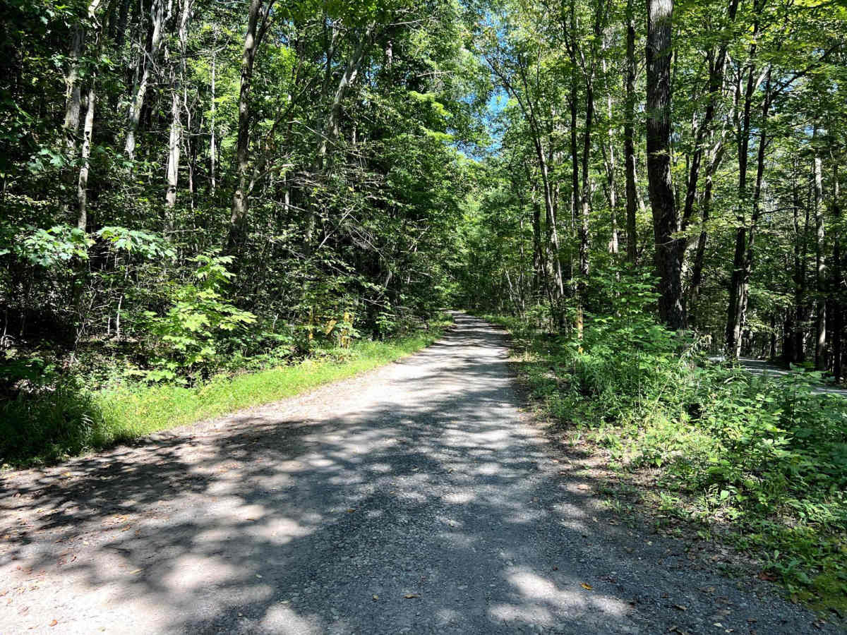
This is a rugged road to the top of a mountain, with a short hike to Band Rock overlook. The road turns from gravel at the bottom to dirt towards the top. There are several small ledgy climbs and potential for washouts and ruts. It's very muddy and wet at the top, but mostly flat at that point. Mud holes are not entirely avoidable, but the deepest sections of them can be mostly avoided.

Photos of McIntyre Road

Difficulty

The majority of the climb is well-maintained gravel. There is some potential for washout immediately following or during heavy rain. The road is much less maintained at the top, with some deep, unavoidable mud holes. 4WD and high or protected engine air intake are strongly recommended!

History

This wild area is approximately 7,500 acres and holds the complete watersheds of four small streams that cascade in numerous waterfalls. McIntyre was the site of a 19th-century mining town and contains the ruins of its buildings and facilities and a mid-19th-century graveyard. The Band Rock Vista provides a spectacular view of the Lycoming Creek Valley.

Technical Rating

3

Status Reports

Add Status Report
Ron Karper
Oct 04, 2025
2023 Jeep Wrangler
Open
Muddy/Wet
Slightly busy now that hunting season has started, the top portion is fairly wet.
Trevor Frey
Apr 26, 2025
2007 Jeep Wrangler
Obstructed
You can make it about 3/4 of the way up the trail until you run into a massive downed tree. You will also see a pile of downed trees just after the first one. Still worth the drive up.
andy thomas
Jun 09, 2024
Open
Muddy/Wet
I had my dd gambler built rig with me to cruise loyolsock forest and figured I'd give this trail a go. On the way up there are a few washed out/rutted sections and some exposed rock. The last 3rd of the trail is shaded and very wet. Lots of water filled potholes and 12"+ deep water holes that have some decent sized rocks in them. In a wetter time of year these holes could easily be close to 2" deep. The trail dead ends at a hiking path. Take the short hike to band rock vista that overlooks the town of Ralston.
Lyden Ross
Apr 13, 2024
Open
Normal
Normal on the way up. There is a slight drop around the half way point due to water erosion and just past that a steeper section with more water erosion. On the fifth water/mud hole on the way up was the deepest and had some rocks hidden that could cause some damage to lower vehicles if not driven carefully. Other than that it was perfect trail conditions
Matt Jendrasik
Oct 26, 2023
Open
Muddy/Wet

McIntyre Road Trail can be accessed by the following ride types:

  • High Clearance
  • Full Width

McIntyre Road Map

The onX Offroad Difference

onX Offroad combines trail photos, descriptions, difficulty ratings, width restrictions, seasonality, and more in a user-friendly interface. Available on all devices, with offline access and full compatibility with CarPlay and Android Auto. Discover what you're missing today!

Open Trail Map