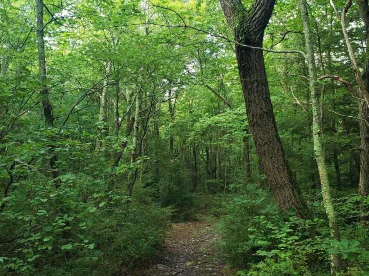
Trail Overview
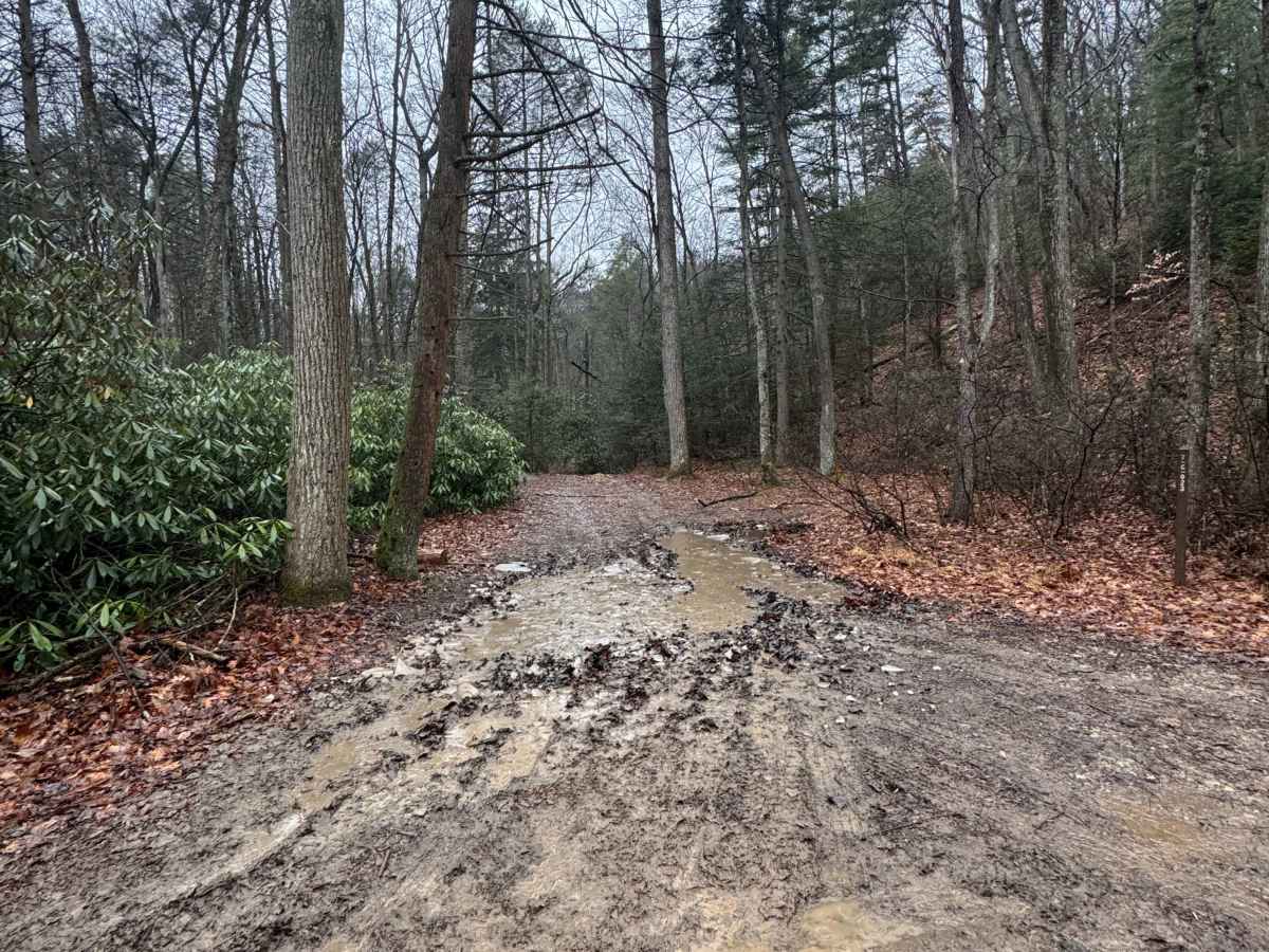
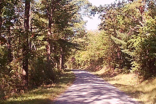
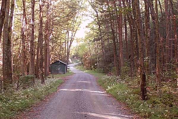
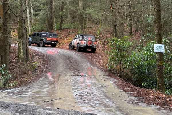
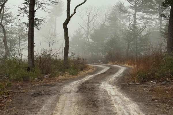
High Top Trail Blue is an ungraded dirt road. It is classified as a Drivable Trail, which means there is no maintenance on this road. You will encounter fallen branches and potentially downed trees. During times of rain, snow, and ice, the trail will become heavily rutted and slick. The trail is tight in some sections. There is a water crossing at Swift Run on the eastern end. If there is high water, this will be impassable, making this trail an out-and-back. High Top Trail Blue is within Bald Eagle State Forest. There are numerous spots to stop along this road and enjoy the foliage and possible wildlife. This region of Pennsylvania is a great place to explore during the fall when the leaves are changing color, and the full beauty of the State Forest is on display.
Difficulty
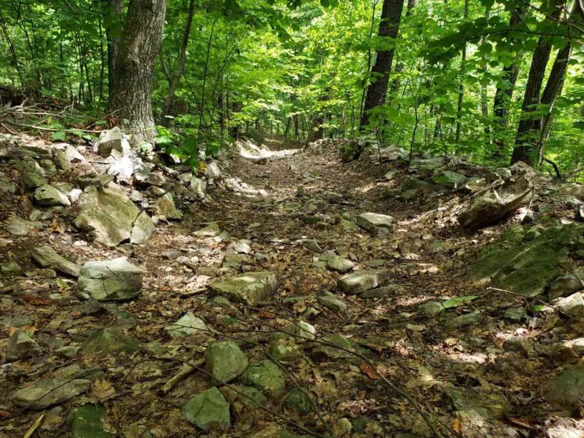
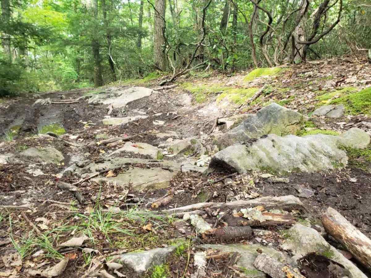
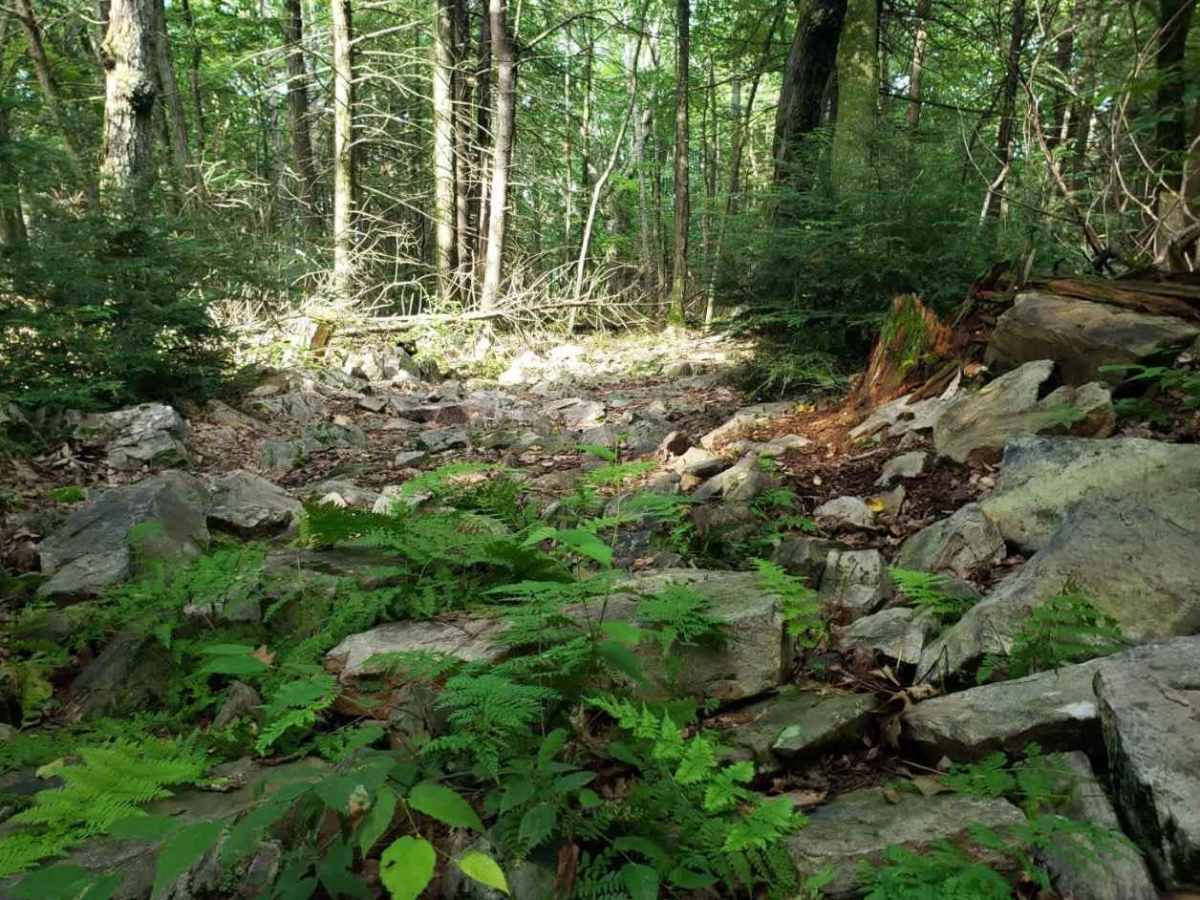
High Top Trail Blue is primarily an ungraded dirt road. It is a deeply rutted, rocky, and off-camber ride in the summer months; however, there is no maintenance, which means you may need a chainsaw. During times of rain, snow, and ice, the road will become heavily rutted and harder to travel on. There are areas of heavy mud and standing water. There is a water crossing at Swift Run on the eastern end. If there is high water, this will become impassible, and this trail will then become an out-and-back trip.