Trail Overview
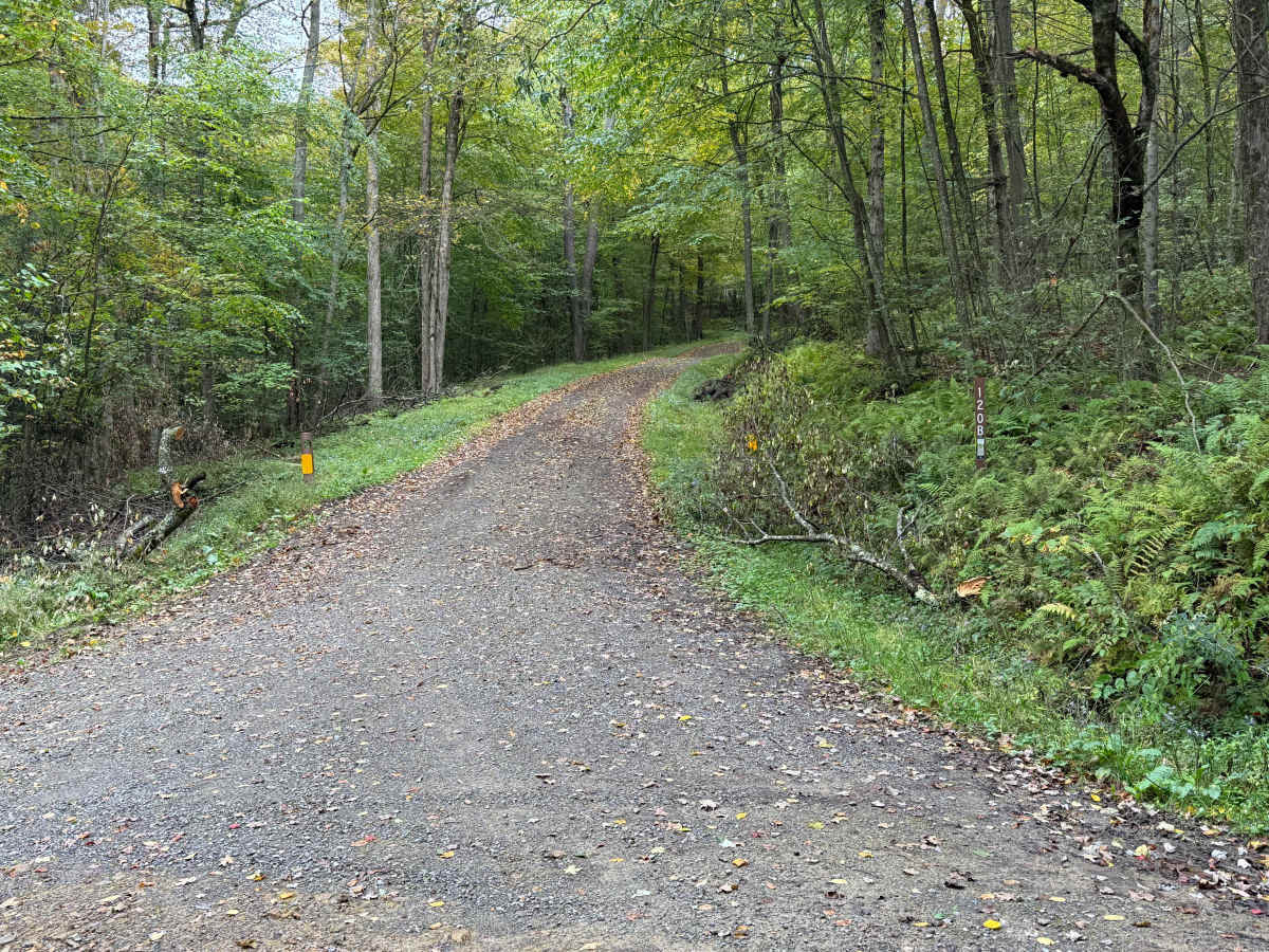
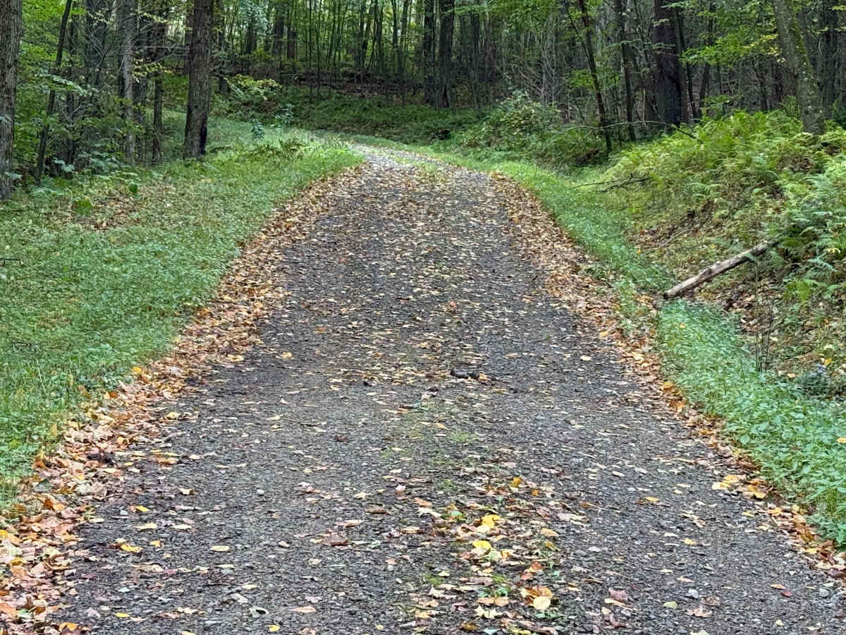
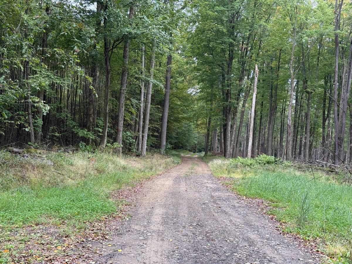
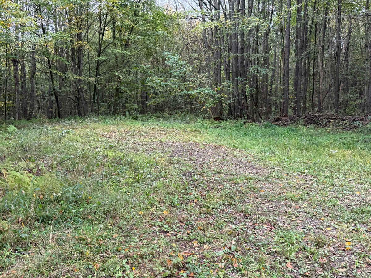
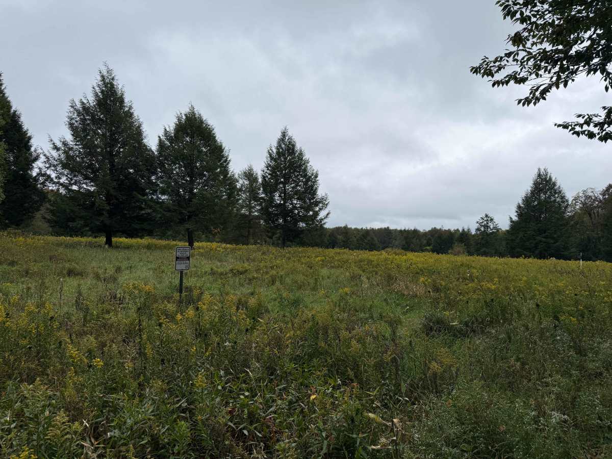
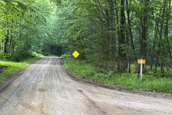
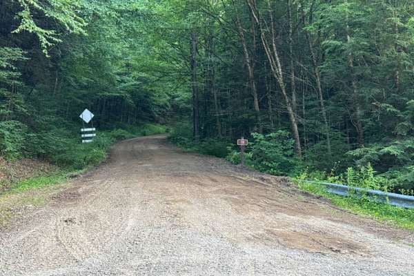
County Line B - FS 120B is a gravel-surfaced trail. Right off there is a significant dip in the trail. 0.1 miles in is another dip. 0.2 miles in looks like a place to set up camp on the left. 0.5 miles in, there is a small patch of potholes. 1.0 mile marker, there is a large clearing. Perfect spot for exploring and bird watching. 1.5 miles in, there are some old NG tanks. 1.7 miles in, the trail starts to narrow down. Scenic views around mile marker 1.8. 2.1 miles in, there is a bit of water in the trail. 2.2 miles in, there is a non-functioning pump jack on the left-hand side of the trail. 2.4 miles in is the end of the trail with a small place to turn around. Accessibility: Like many forest roads, its condition can vary, and it is best to check the Allegheny National Forest Motor Vehicle Use Map (MVUM) for the latest information on its status. Conditions are also subject to weather and seasonal changes. https://www.fs.usda.gov/r09/allegheny