Trail Overview
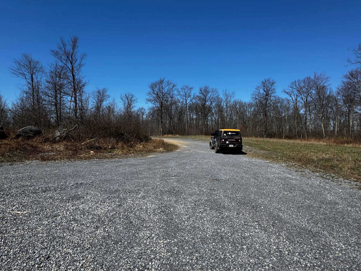
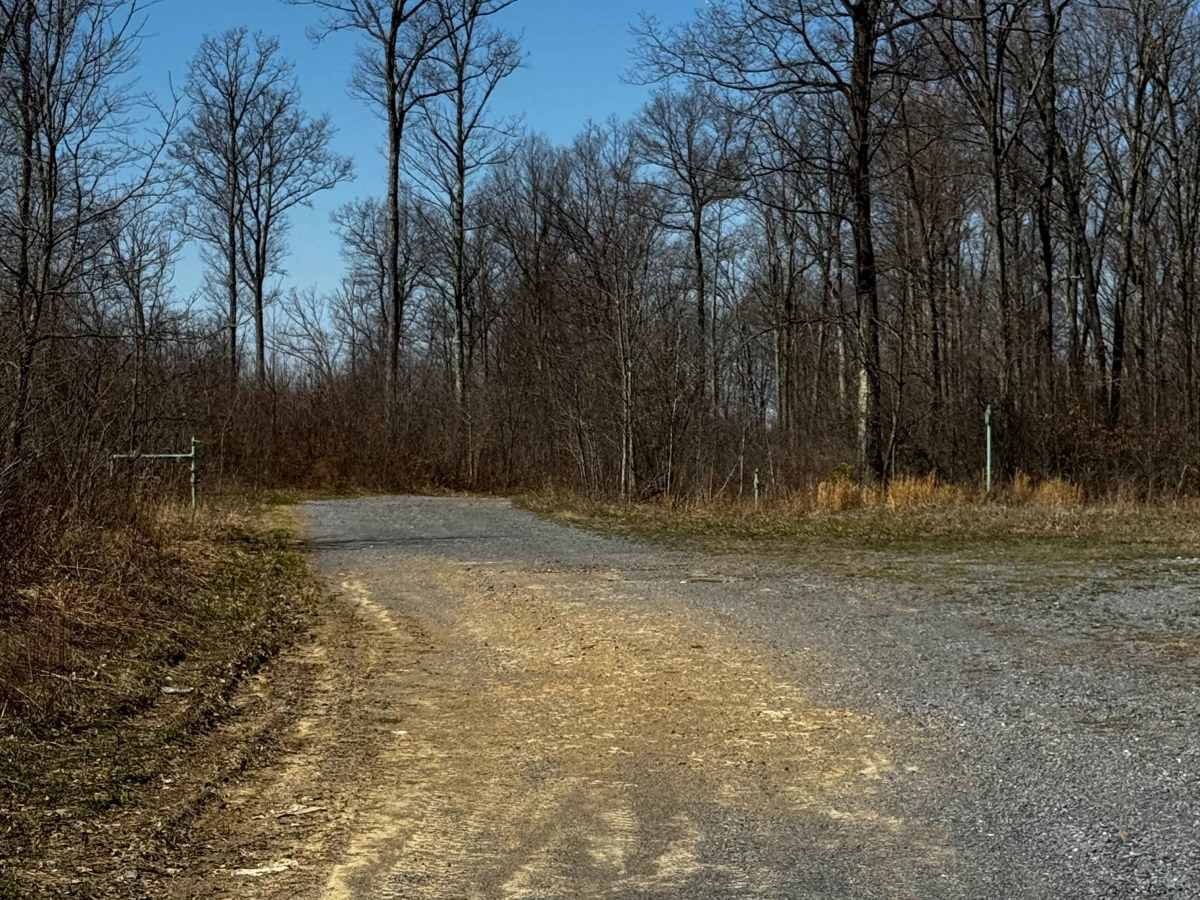
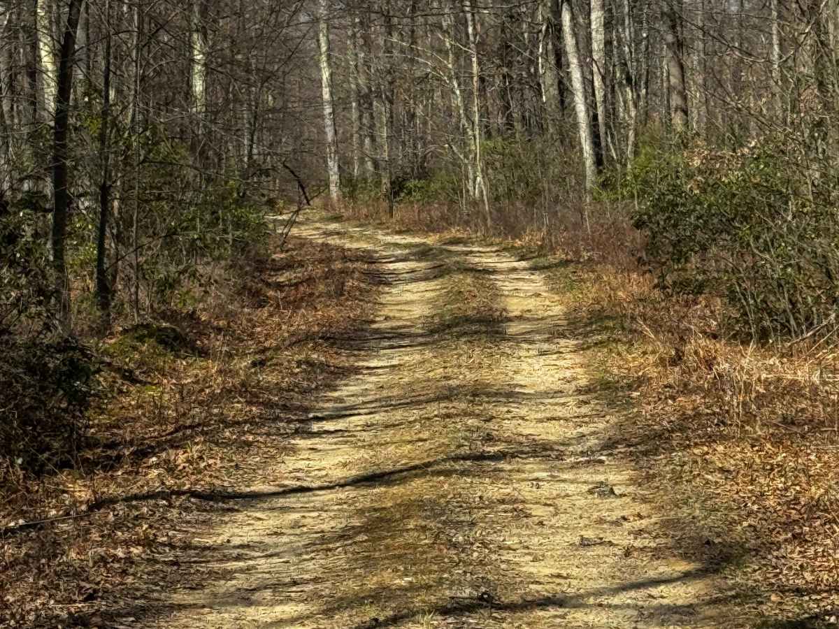
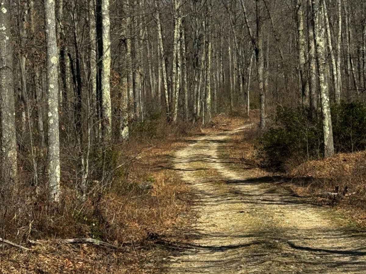
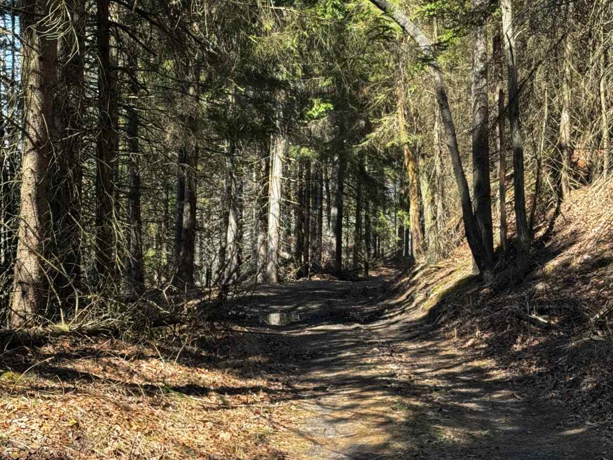
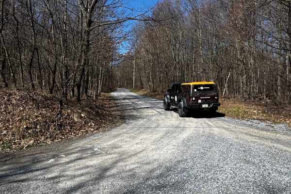
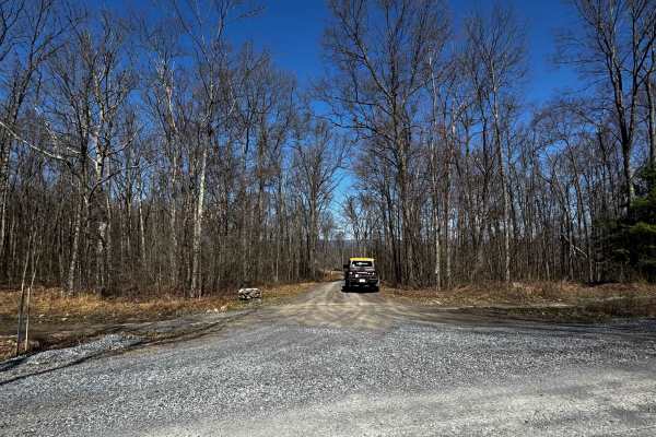
Council Run Trail is primarily an ungraded dirt trail. It is classified as a PA Drivable Trail by the DCNR. It is a moderate ride in the summer months; however, there is no maintenance at all on this trail. During times of rain, snow, and ice, the trail can become heavily rutted and extremely hard to travel on. There may be downed trees or large branches that will have to be cleared to continue on. Council Run Trail is within Sproul State Forest. There are numerous spots to stop along this road and enjoy the foliage and possible wildlife. There are a few camp sites located in this part of Sproul State Forest to choose from. This region of Pennsylvania is a great place to explore during the fall when the leaves are changing color, and the full beauty of the State Forest is on display.
Difficulty
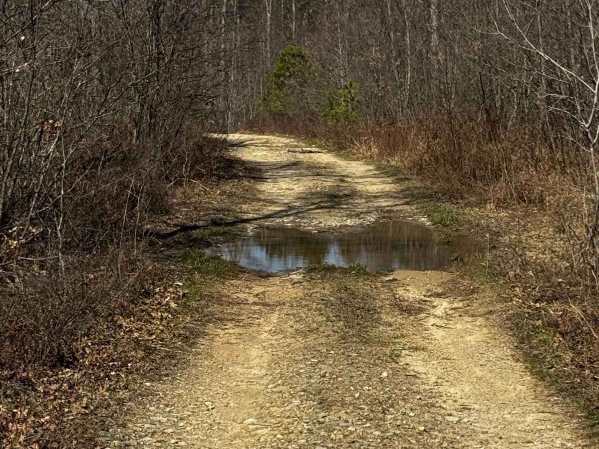
Council Run Trail is primarily an ungraded dirt trail. It is a deeply rutted, tight, muddy ride in the summer months; however, there is no maintenance, which means you may need a chainsaw. During times of rain, snow, and ice, the road will become heavily rutted and extremely hard to travel on. There are areas of deep rutting, heavy mud, and standing water up to 18" and a stream crossing on the northern end that could be up to 2' deep.