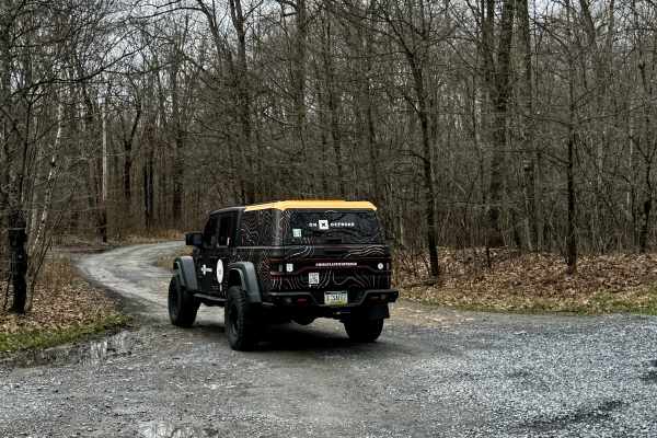
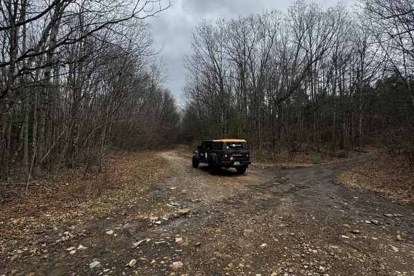
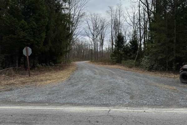
Trail Overview
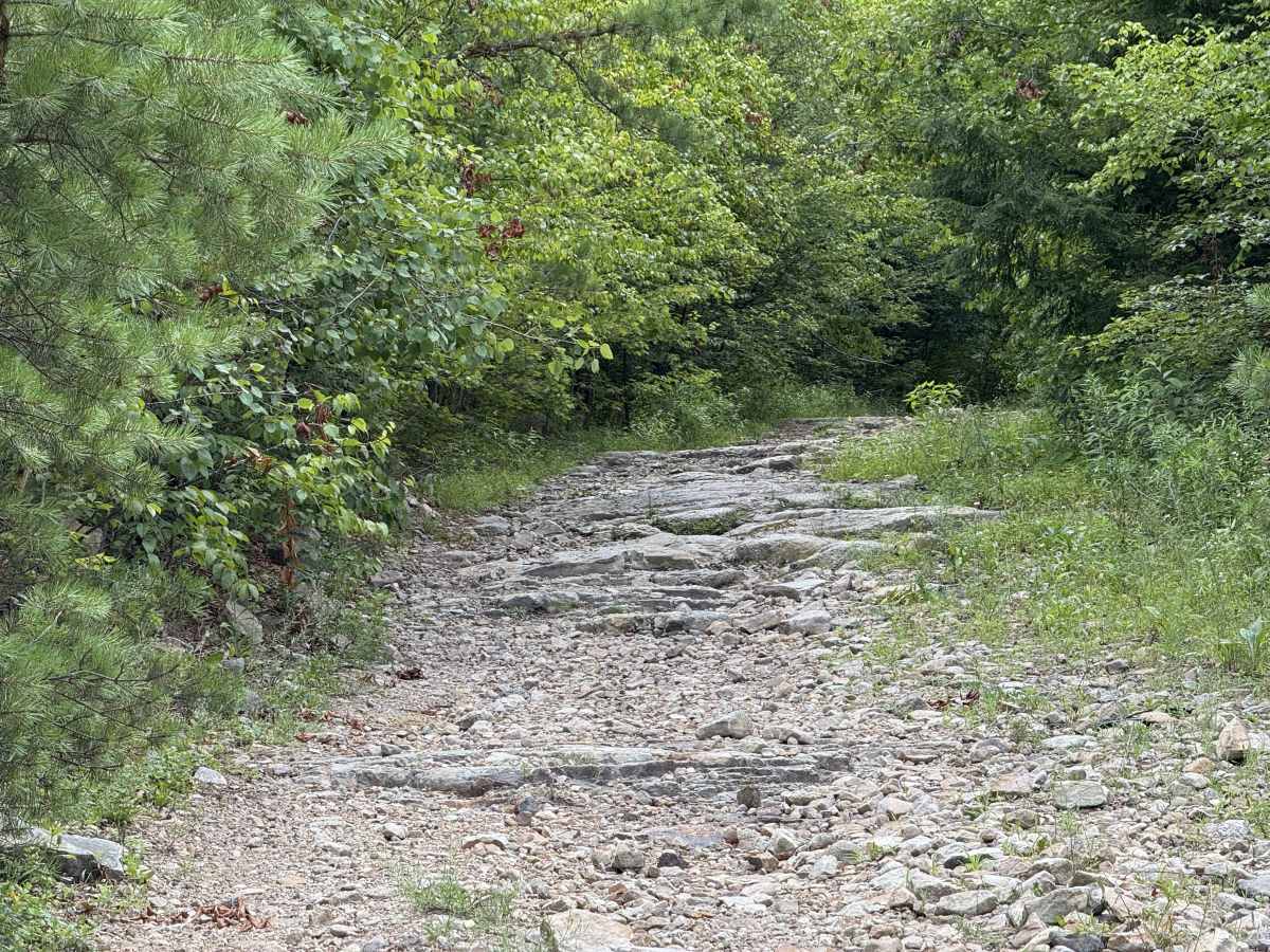
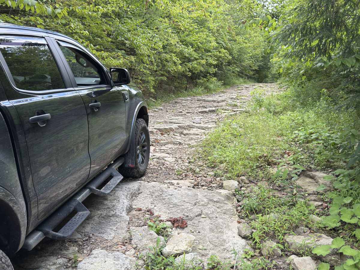
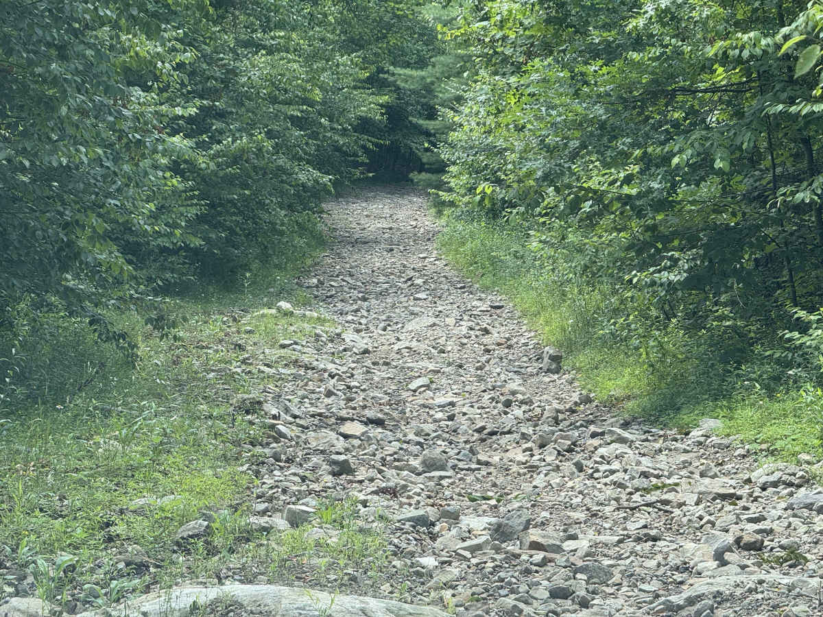
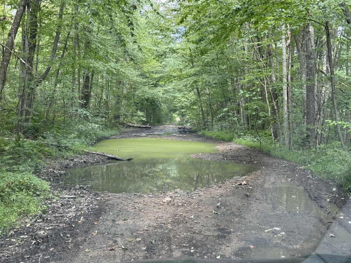
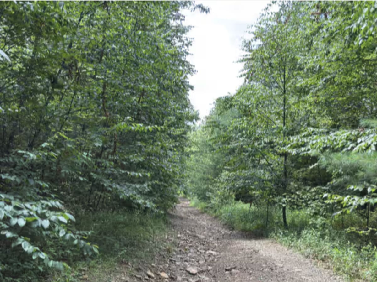
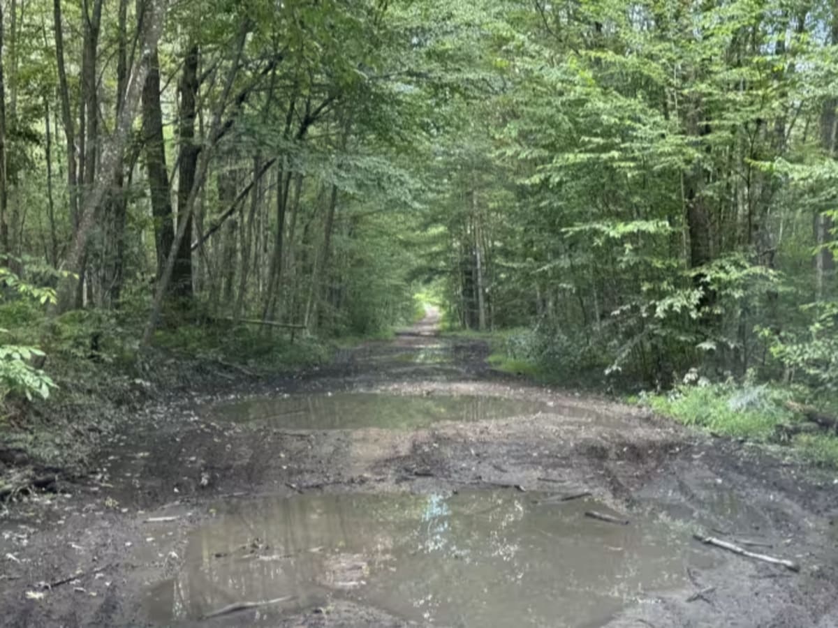
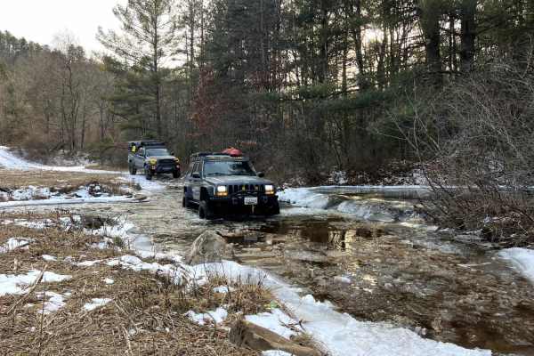
Route is designated a drivable trail (Closed to ATVs) on both the Sproul State Forest and Bloody Skillet Trail System maps. Please pay attention to the access prior to the start of this trail. At the start of the route is a series of large water-filled holes, generally with rock bottoms, but some may have a decent amount of silt in them. The trail is very wide here. Water depth is up to 18 inches if it has been rainy. Once you start to descend to Beech Creek, the trail narrows for a short time with tighter vegetation, then opens back up and turns to exposed bedrock steps up to 12 inches high near the top. This section is on an incline on your way back up, so keep that in mind as it makes the climb back up a bit tougher. Below the exposed rock section, trail conditions turn to chucky, fist to dinner plate-sized rock and sand that can be loose. There is some washout from water drainage and occasional larger rocks. Once you reach the bottom, it provides walking access to Hogsback Tunnel and Beech Creek. The climb back up is not steep but consistent with the exposed bedrock being at the top of the steepest section. I would not try this in the snow, unless you like Type 2 fun. Recommended: Low range 4X4, AT Tires, and decent ground clearance/approach angle, and possibly a locker if you do not have much suspension flex. You need to be able to clear/climb the rock step on the way back up while going uphill.
Difficulty
Classified as a 5 due to the loose sand and rock on the climb back up. This includes the drainage washes, making for somewhat off-camber sections depending on the line you pick, trail condition, and recent usage. Rock steps on the way back up were just slightly too much to bump over in high-range 4x4, and mashed the bump stops. You can alter this line, but it's best not to consider it an option. Water/ Mud hole depth on the upper ridge after a big rain could be 18 inches. It was approximately 12 inches last time. Not recommended for AWD vehicles.