Trail Overview
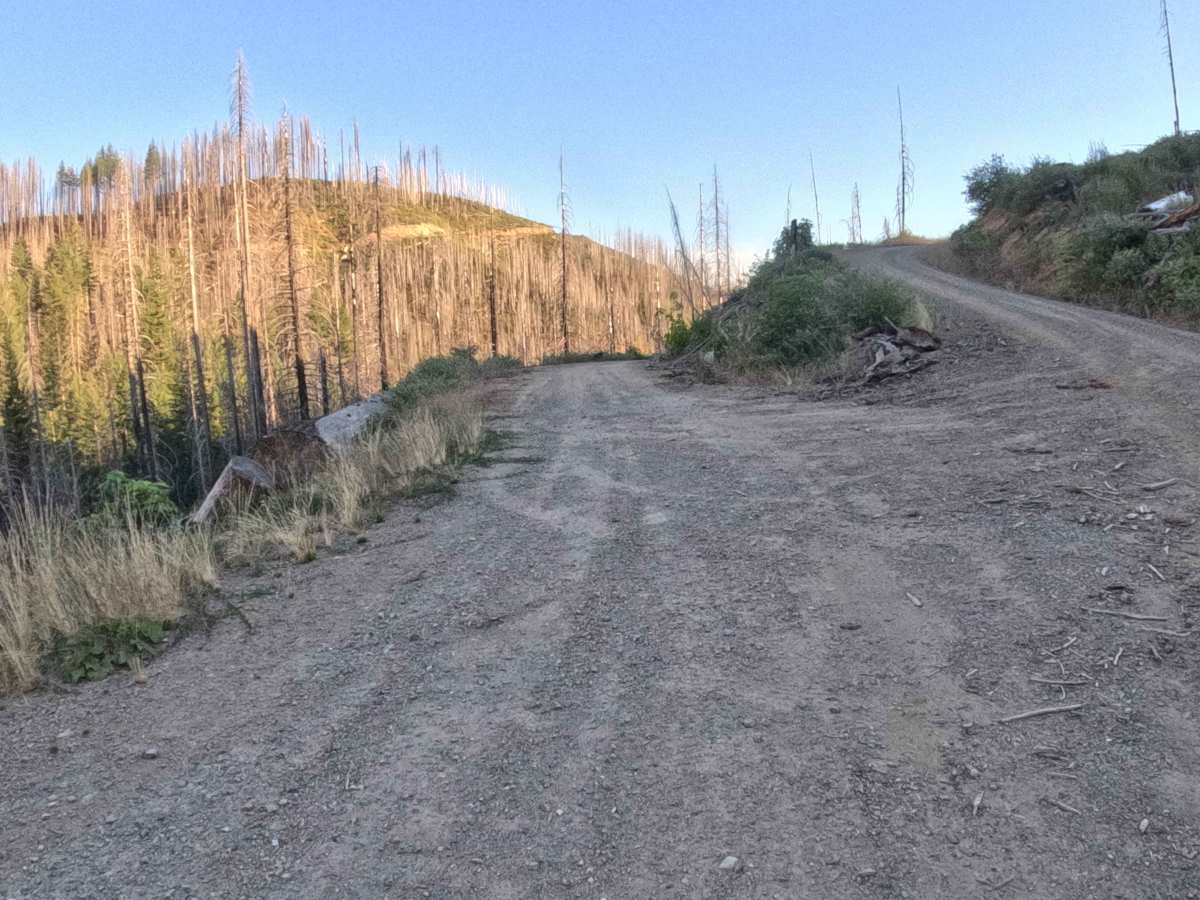
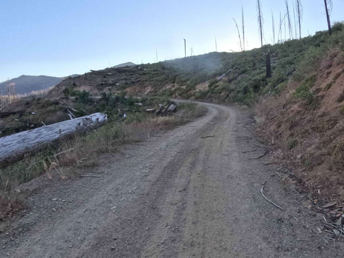
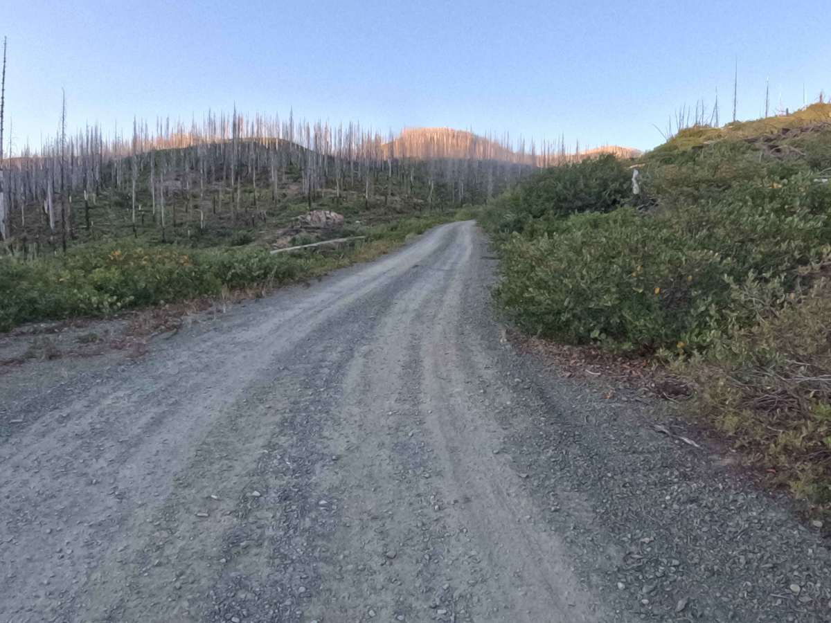
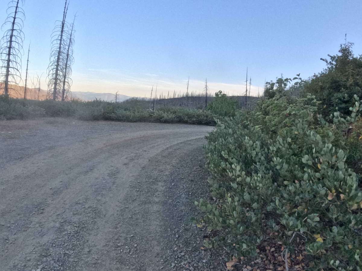
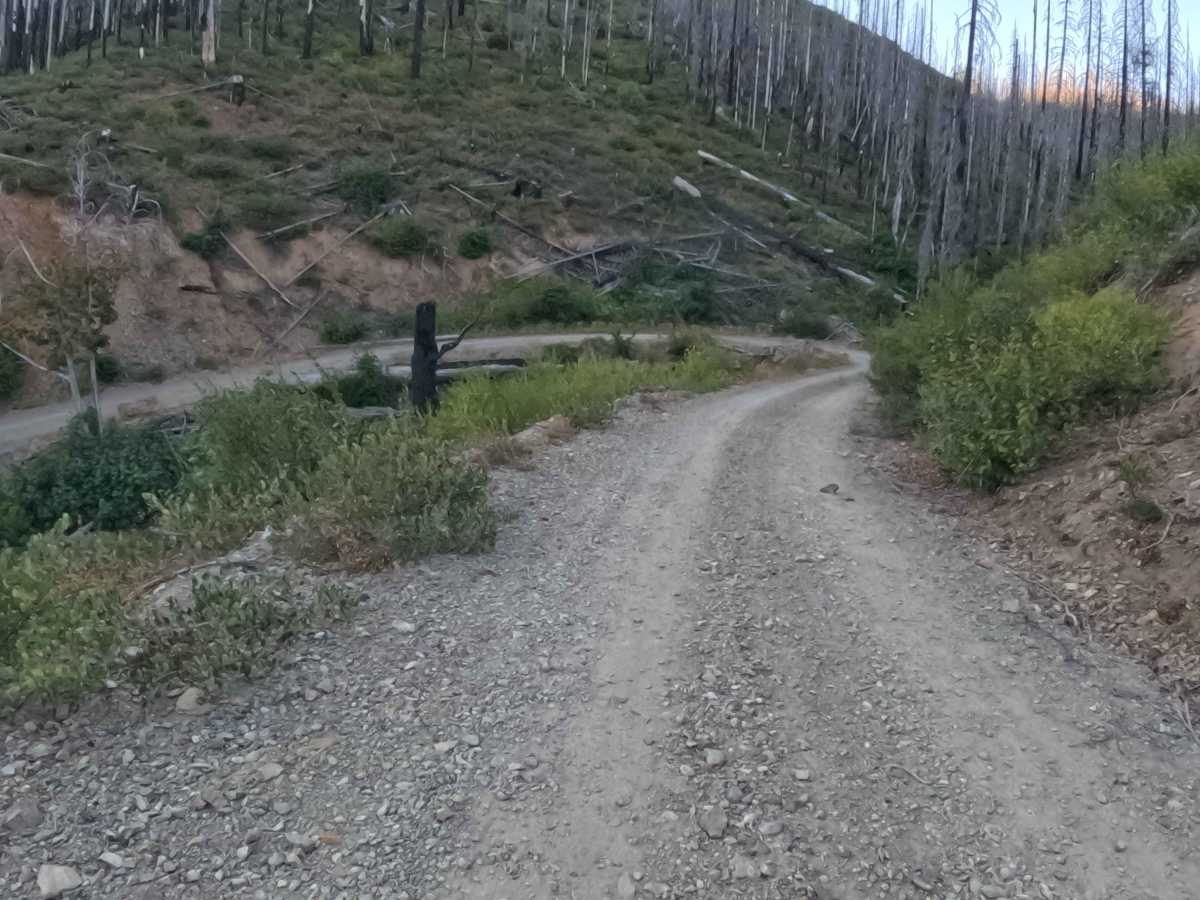
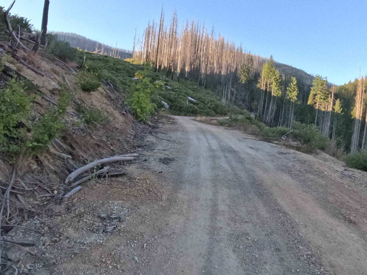
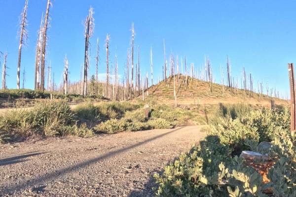
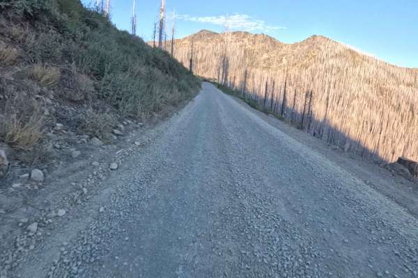
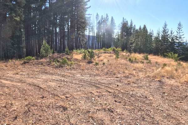
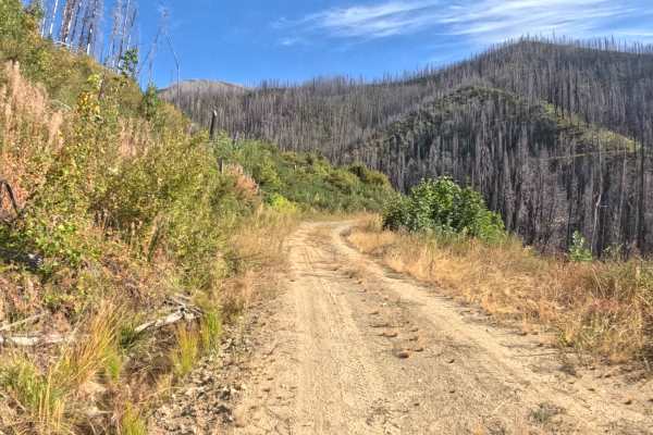
Branching off the primary forest road network, Forest Service Road 19N06—also known as Louse Creek—serves as a sweeping backcountry connector routing deep into the high country. Winding through the Rogue River-Siskiyou National Forest, the corridor traverses a stark landscape heavily impacted by the 2020 Slater Fire, where thousands of charred, standing snags loom over patches of vibrant, regenerating green underbrush. Functioning as a level 2 difficulty route, the trail consists of a single-lane dirt and crushed gravel surface that carves directly into the steep mountainside. Because the severe wildfire wiped out the tree canopy, the exposed ridge line offers travelers uninterrupted, panoramic vistas of the surrounding canyons and distant peaks. Outdoor recreationists and sightseers frequently utilize this elevated dirt track to explore remote corners of the forest, access primitive dispersed camping areas, and link up with deeper off-road trails.
Difficulty
Holding a level 2 rating, this dirt and gravel shelf road provides a relatively firm and predictable base but demands constant driver awareness. The track is entirely devoid of guardrails, presenting significant, sheer drop-offs along the downhill edge. While the path lacks major technical obstacles, drivers must navigate scattered loose rocks, minor erosion ruts, and numerous blind corners. Maintaining a controlled, moderate pace is essential to safely hug the inside wall, secure traction through the bends, and yield to any oncoming forest traffic along the narrower stretches.