2 trails found in Oregon
Which "blue mountain" are you looking for?
We found 2 off-road trails in Oregon matching your search. Pick the one you're looking for below.
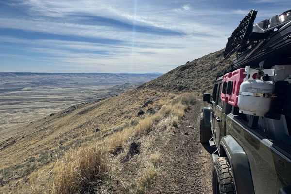
Blue Mountain
This is a dirt with rock trail to the summit of Blue Mountain at 7,320 feet in elevation. It begins from the highway as mostly dirt and quickly begins to ascend. The road becomes rougher with sections of rock garden and loose rock. The road also becomes a one-lane shelf road with a large drop-off an...
Learn more about Blue Mountain
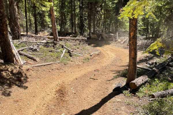
Blue Mountains Trail 1972
Dirt Bike and ATV trail through the mountains with great views, twists, turns and lots of challenges. This area seems to get used by Side by Sides on the gravel roads and the ATV trails are hardly used and are in great shape. We love this area for it's views, seclusion and great weather.
Learn more about Blue Mountains Trail 1972