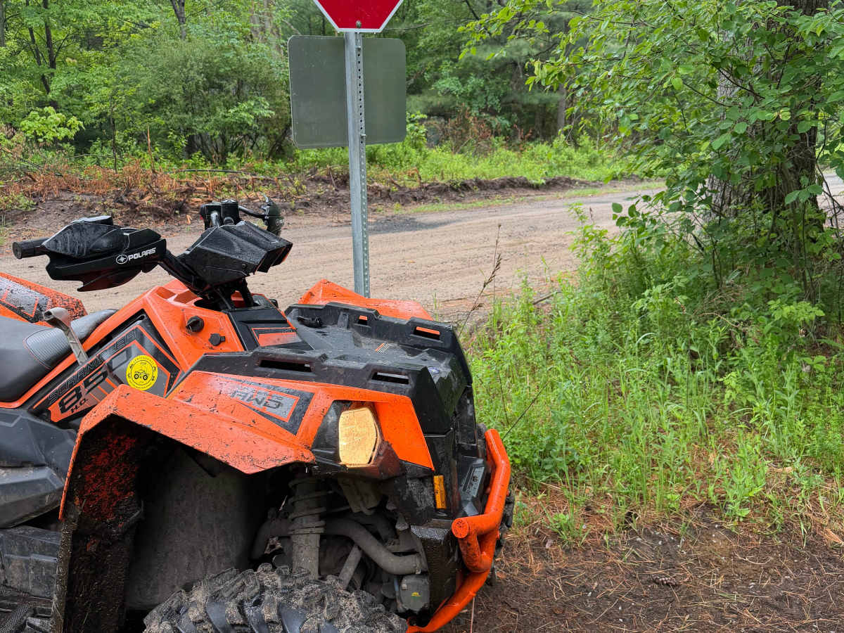
Trail Overview
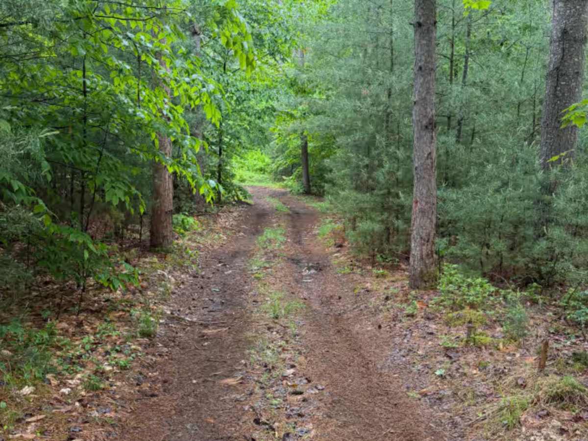
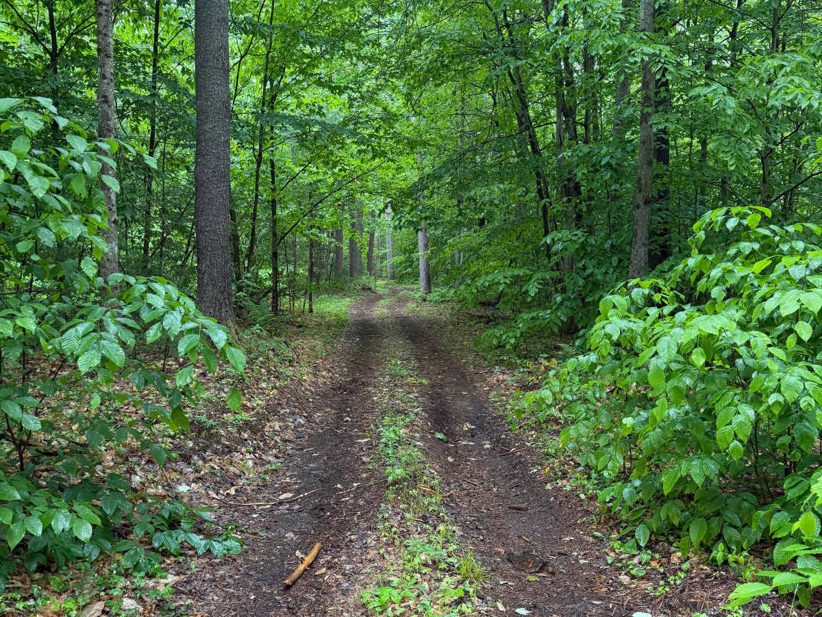
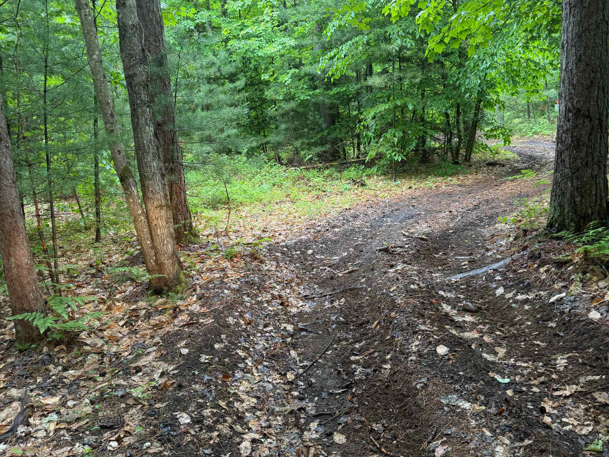
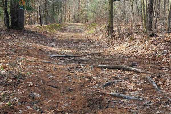
When traveling along this marked Lewis County ATV trail, riders will pass through a mix of pine and hardwood forest featuring a maintained two-track trail surface. The route primarily consists of hard-packed dirt, natural soil, pine needles, and occasional loose stone with light rutting throughout. Several low-lying sections may contain standing water, shallow mud holes, and soft conditions following periods of rain.
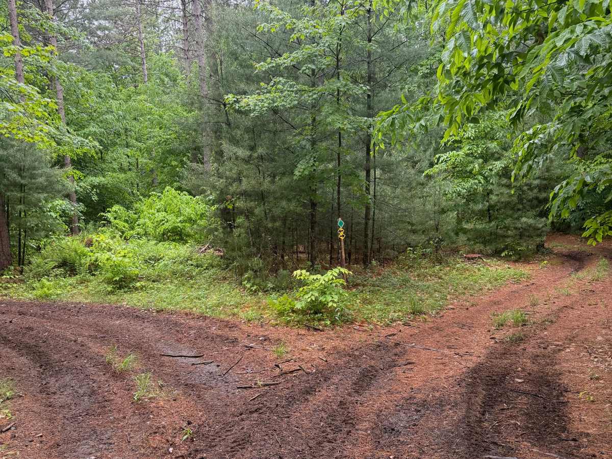
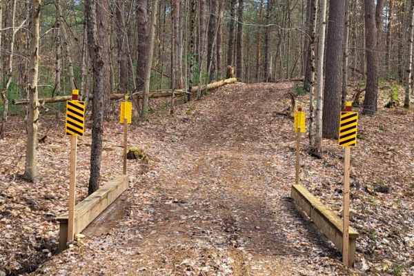
The trail includes gentle curves, moderate elevation changes, short hill climbs, and multiple marked intersections with directional signage. Visibility is generally good along straight sections but may be limited around corners and within densely wooded areas.
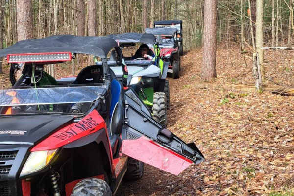
Trail markers and regulatory signage are posted throughout the route. Riders must remain on designated trails, obey all posted signs and trail markers, and operate at a safe speed appropriate for trail conditions. A Lewis County Trail Permit is required for operation in this area. Trail riding is permitted from sunrise to sunset. Please observe all posted regulations, including the 1,000-pound vehicle weight limit.
Difficulty
A maintained forest trail featuring hard-packed dirt surfaces, gentle hills, marked intersections, and occasional mud or standing water after wet weather. Suitable for most ATV and UTV riders.