Stanley Road

Total Miles1.1
Technical Rating
2Easy
Best TimeSpring, Summer, Fall
Trail TypeFull-Width Road
Accessible By
Open Trail Map

Trail Overview

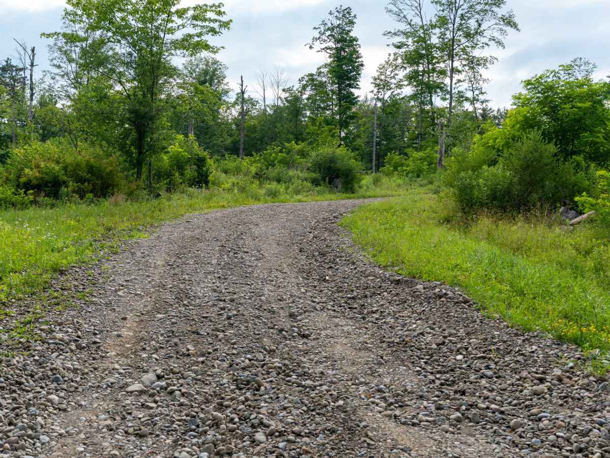
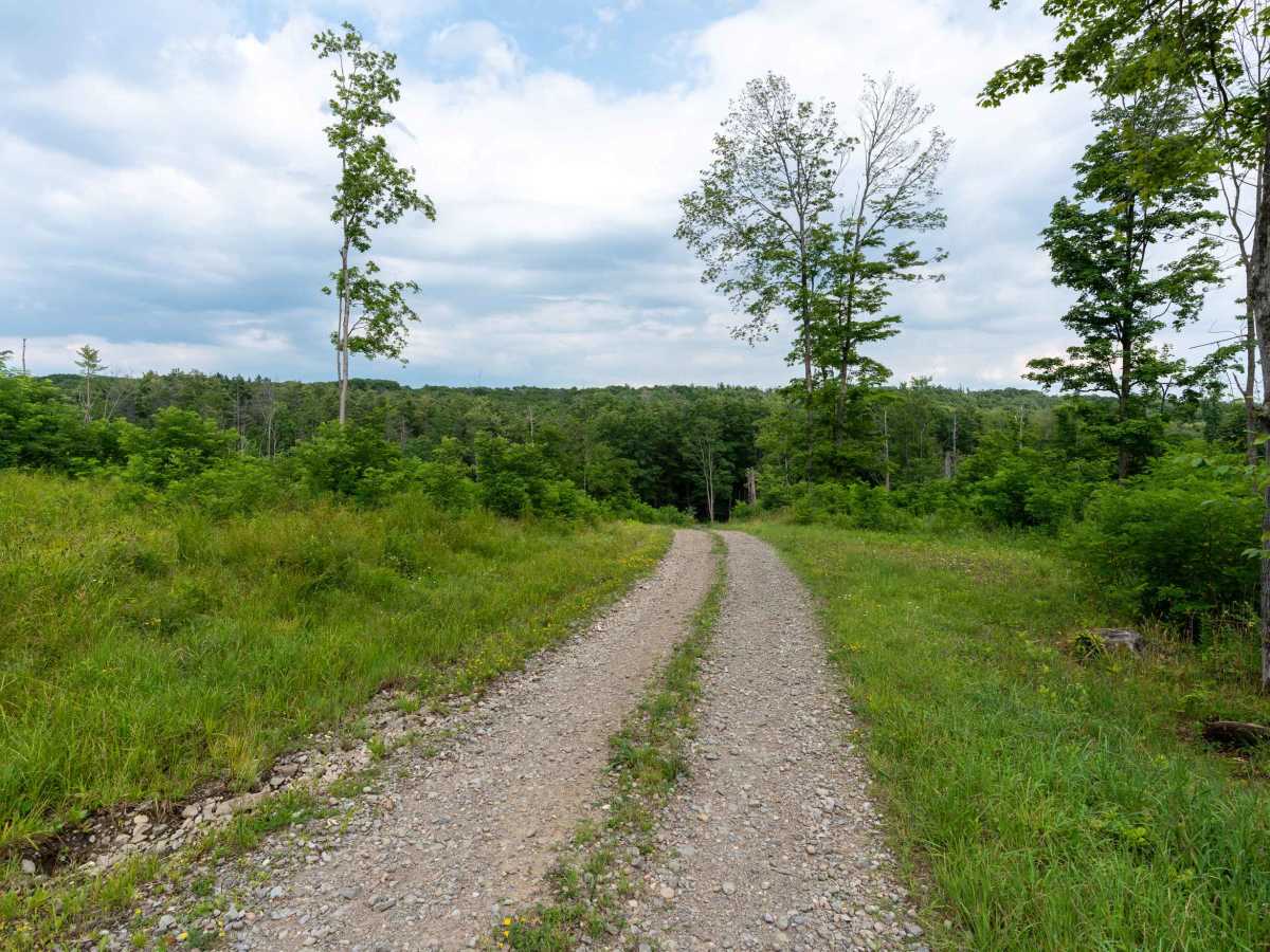
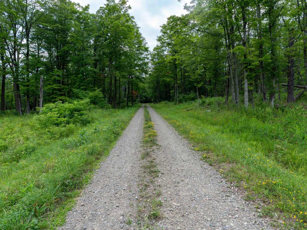
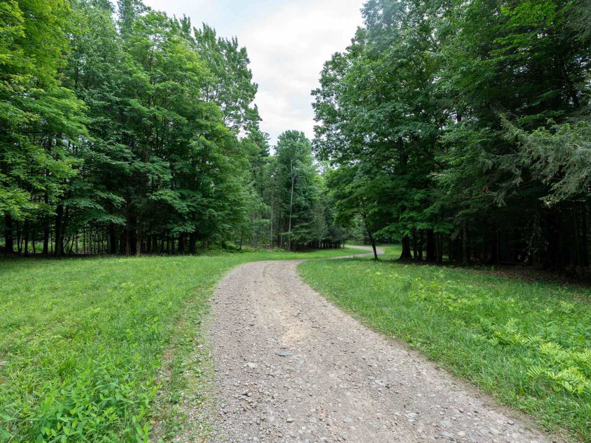
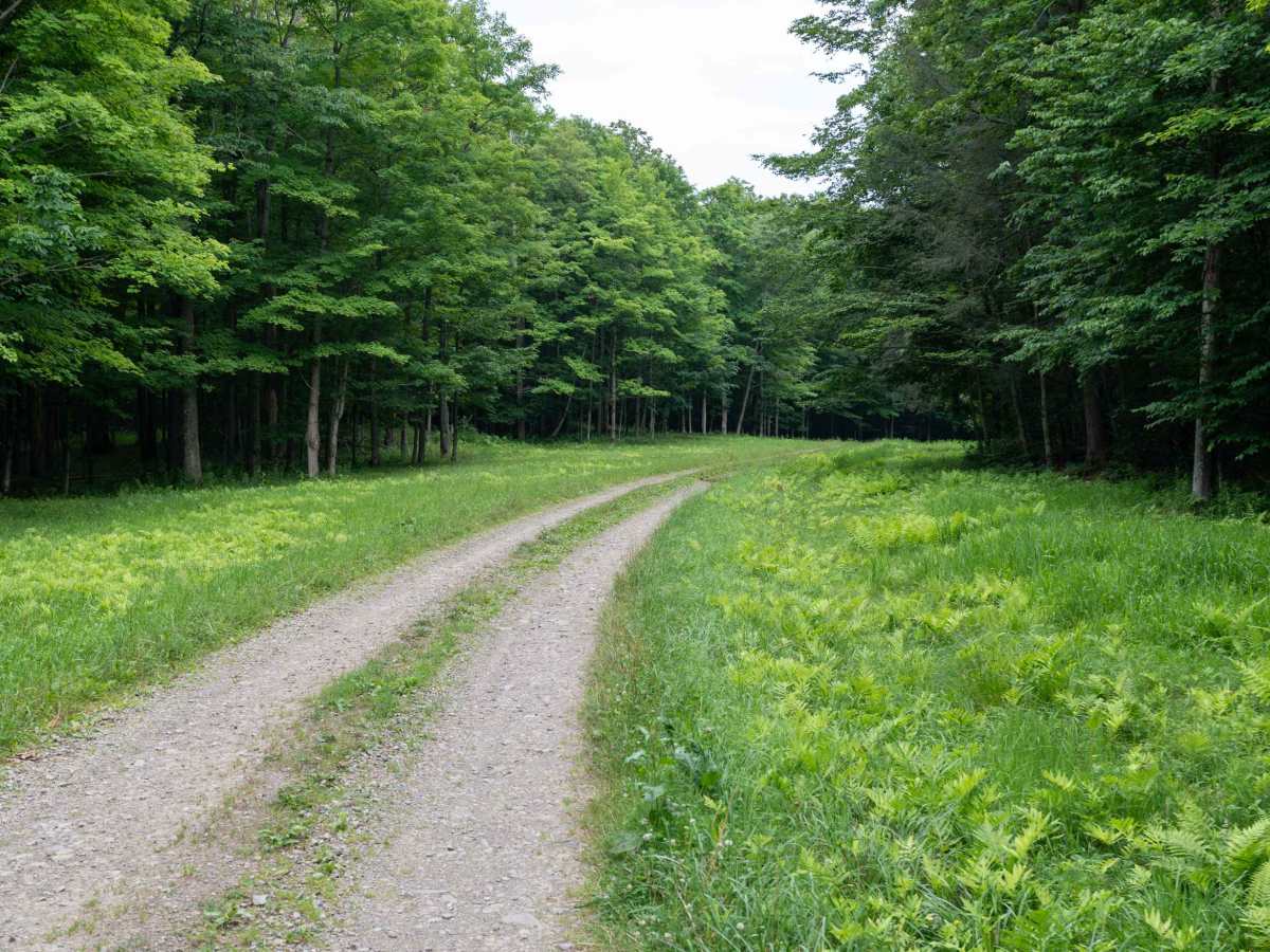
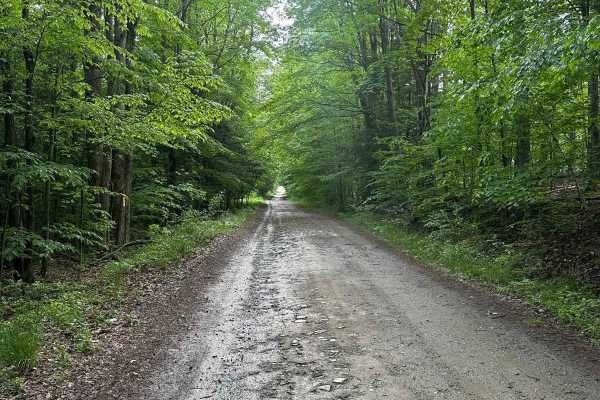
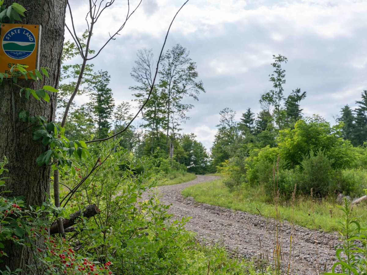
This trail begins by leaving the pavement and climbing steadily into the state forest on a loose gravel road. After reaching the top of the first hill, the route descends briefly before climbing once again, offering a fun drive through rolling terrain. The surface becomes a bit rockier in places, but there are no technical obstacles to contend with. For most of the route, the road is relatively open before the forest closes in near the end, where dense tree cover creates a more secluded feel. With its gentle elevation changes and scenic woodland setting, this is an enjoyable drive for anyone looking to explore the forest.

Photos of Stanley Road

Difficulty

This trail is rated 2/10 due to the loose gravel surface, minor rocky sections, and rolling elevation changes. There are no significant obstacles, making it suitable for most vehicles in dry conditions.

Technical Rating

2

Stanley Road Trail can be accessed by the following ride types:

  • High Clearance
  • Full Width

Stanley Road Map

The onX Offroad Difference

onX Offroad combines trail photos, descriptions, difficulty ratings, width restrictions, seasonality, and more in a user-friendly interface. Available on all devices, with offline access and full compatibility with CarPlay and Android Auto. Discover what you're missing today!

Open Trail Map