Trail Overview
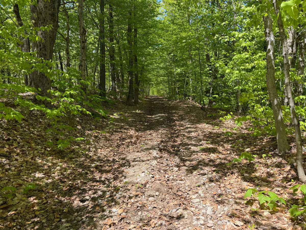
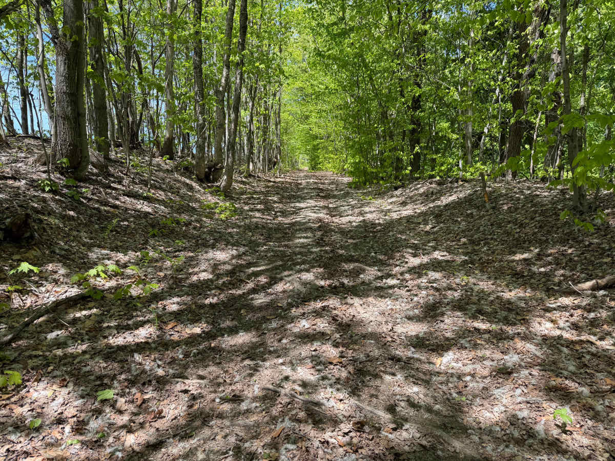
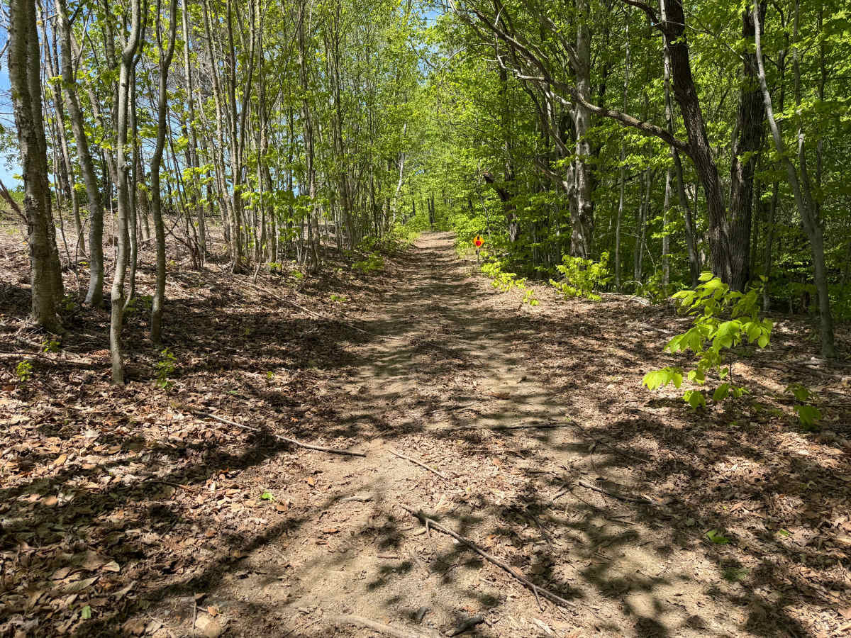
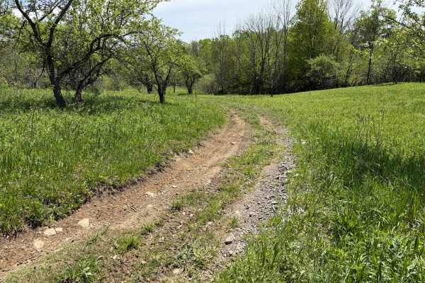
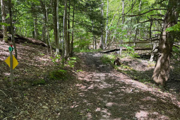
A moderately easy wooded trail route traveling through classic Lewis County terrain featuring hard-packed dirt, shallow ruts, loose rock, exposed roots, and gradual elevation changes throughout. Riders will travel through dense hardwood forest sections with narrow trail corridors, rolling hills, and several steeper climbs that may become slick during wet conditions or after heavy rain.
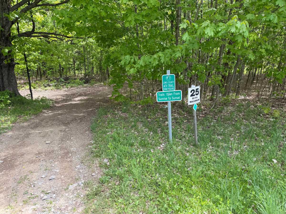
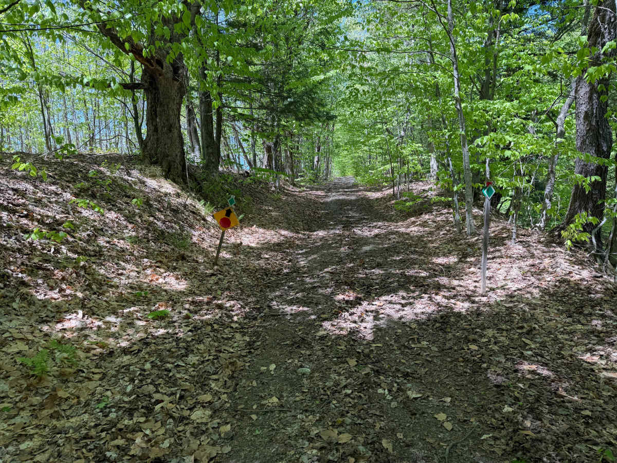
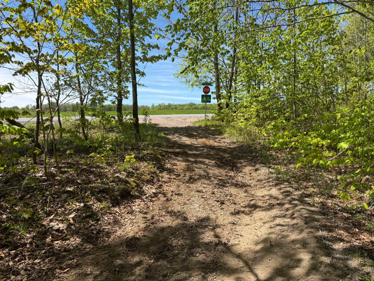
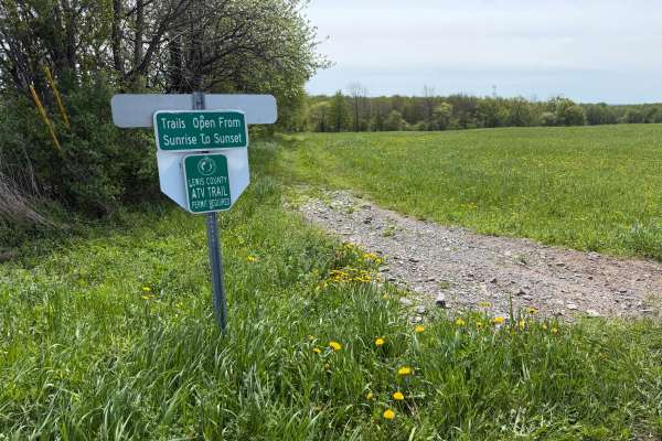
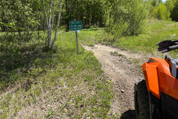
Most of the trail is approximately one vehicle wide with occasional wider passing areas and light cornering throughout the route. The trail is well marked within the Lewis County ATV Trail System and is best suited for recreational trail riding and scenic backcountry travel.
Any ORV wider than 60 inches should use caution due to the tighter wooded sections and limited maneuvering areas. A valid trail permit is required. Trails are open from sunrise to sunset only.
Please remain on designated trails at all times and respect all posted signage, trail conditions, and seasonal closures.
Difficulty
The trail surface varies between smooth dirt, small embedded rock, leaf-covered sections, and scattered washouts depending on seasonal conditions. Several uphill grades contain loose stone and shallow rutting that may require momentum on heavier machines or after wet weather. Sight lines are generally good, though some tighter wooded sections and blind rises are present.