Trail Overview
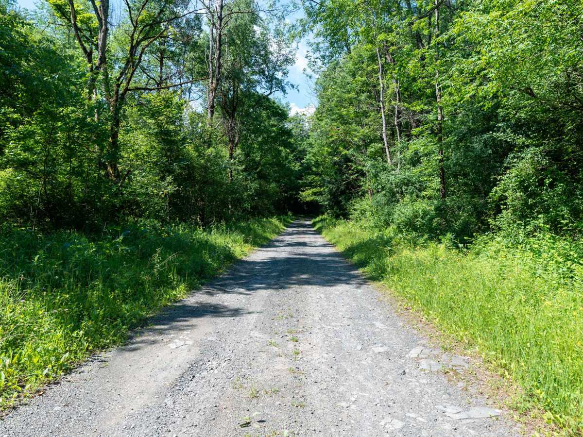
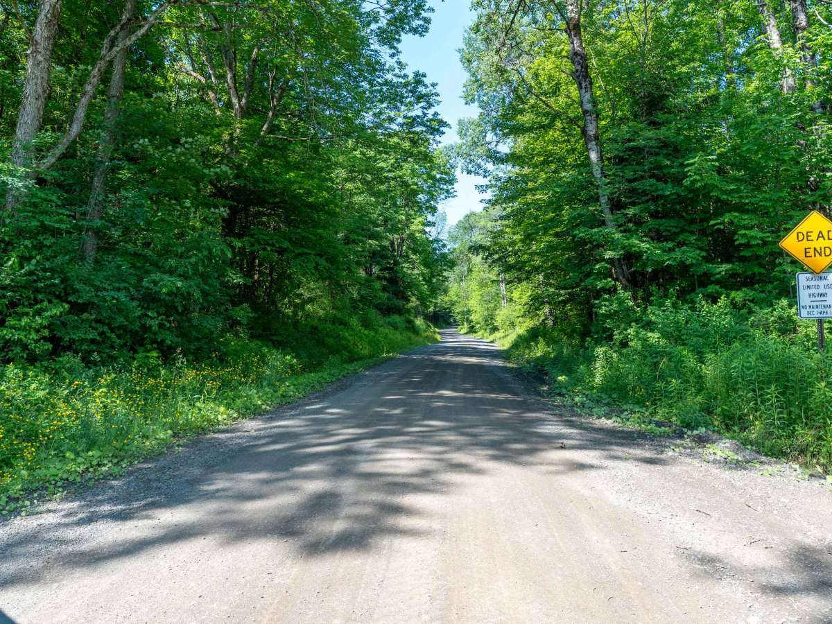
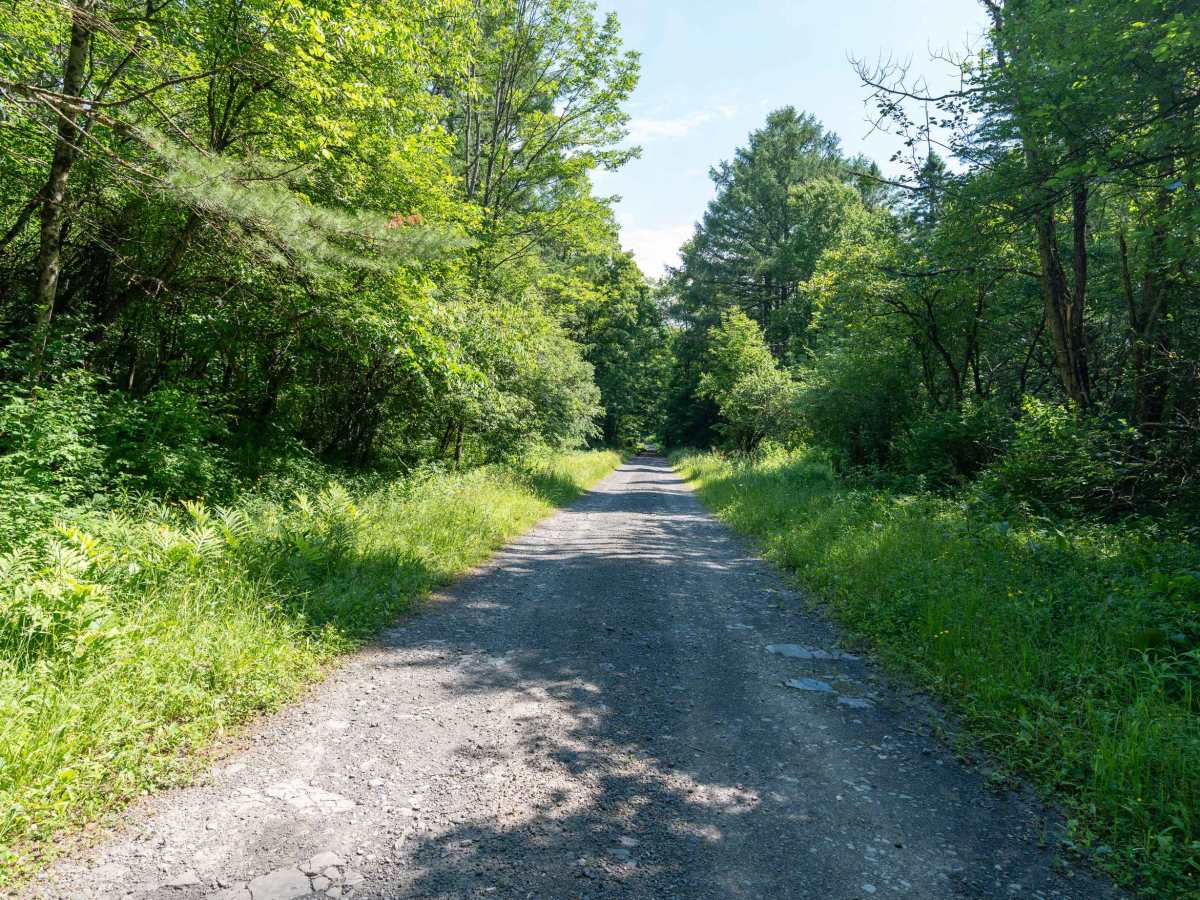
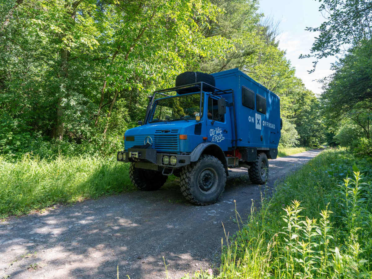
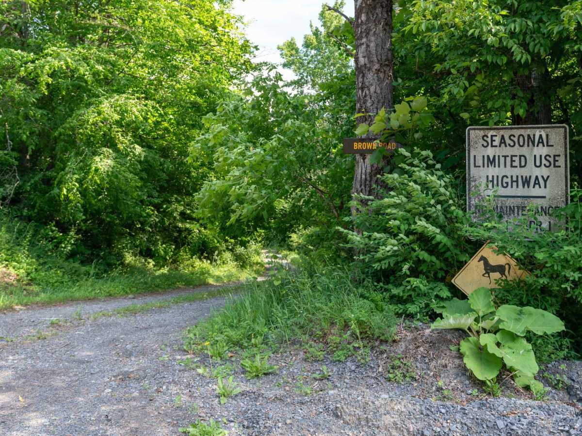
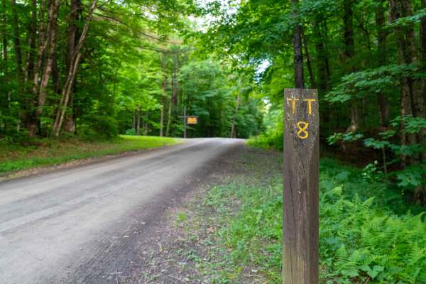
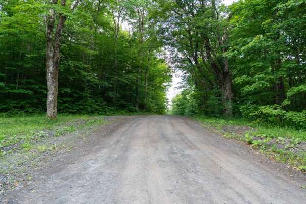
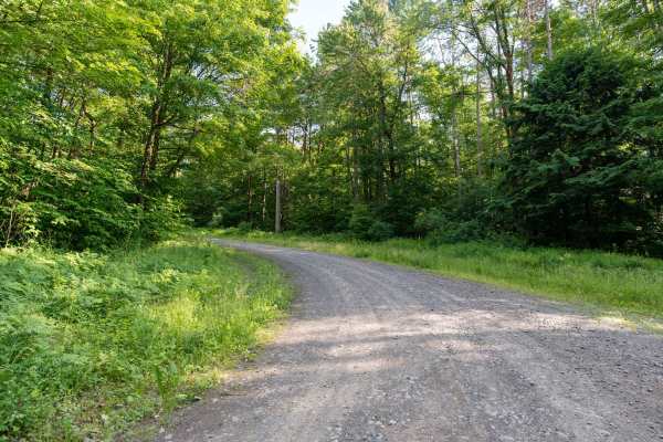
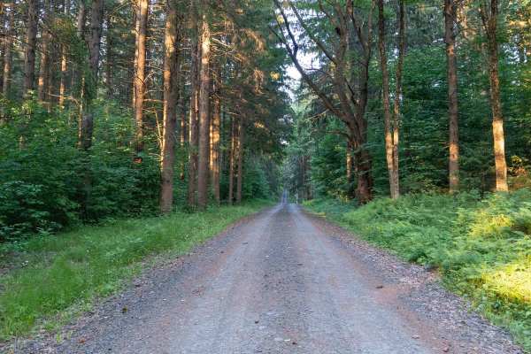
This wide, graded dirt and gravel road serves as a main east-to-west artery through the eastern side of the state forest. It passes through several sections of private land and provides access to many smaller truck trails that branch deeper into the forest. The surface is generally smooth with only minor ruts and small washouts, making for an easy drive. There are plenty of pull-offs along the way for airing down or stopping, and you’ll encounter multiple intersections with hiking and equestrian trails, so be sure to observe the 25 mph speed limit.
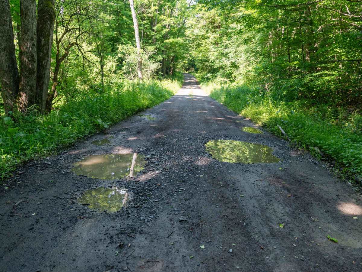
There are occasional deep puddles along the route, especially after rain, and conditions can change quickly when wet. Toward the western end, the road becomes slightly narrower and a bit rougher but remains manageable.
Difficulty
This trail is rated 2/10 due to the mostly graded surface with minor ruts, washouts, and occasional puddles. While very easy in dry conditions, drivers should be cautious of muddy sections and changing conditions after storms.